Owens River, Alabama Hills, and the High Sierra Crest with Mount Whitney

Owens
Riverlands

Lone Pine  ·  Owens River  ·  Independence
April Month
21.8 Miles
1,000 Feet Gained
✦✦✦✦✦ Arête
Map Layer

Today we are visiting Lone Pine — probably one of the most scenic towns in the country. I have a plan for an easy recovery run, with enough time to get a coffee at Alabama Hills Bakery and Cafe, and I stop by Elevation Sierra Adventure Sports to check out a book they might have on Eastern Sierra trail runs. A chat in the store quickly turns into brainstorming potential running ideas, and I am quickly convinced to try something unplanned — run along the Owens River.

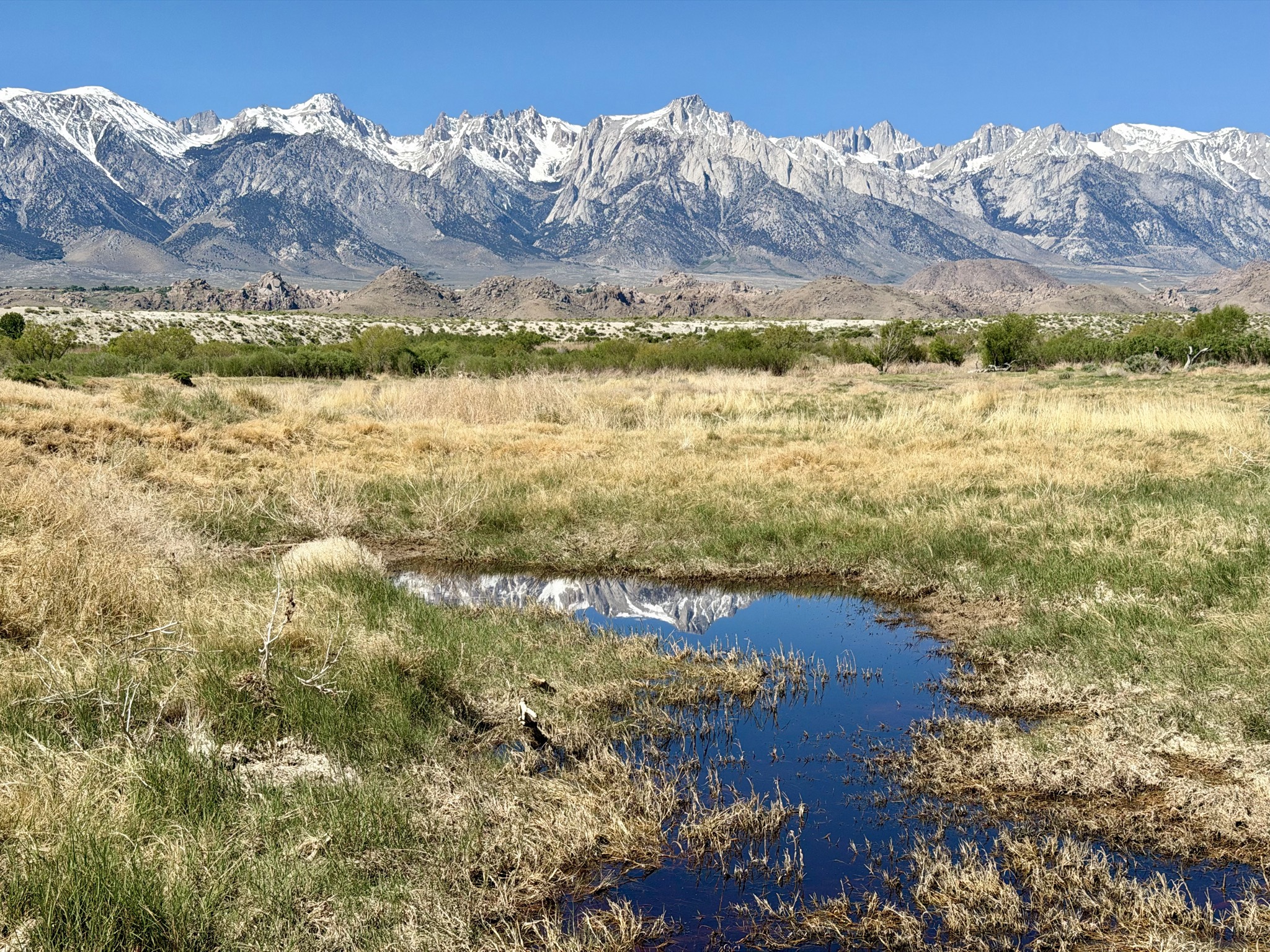
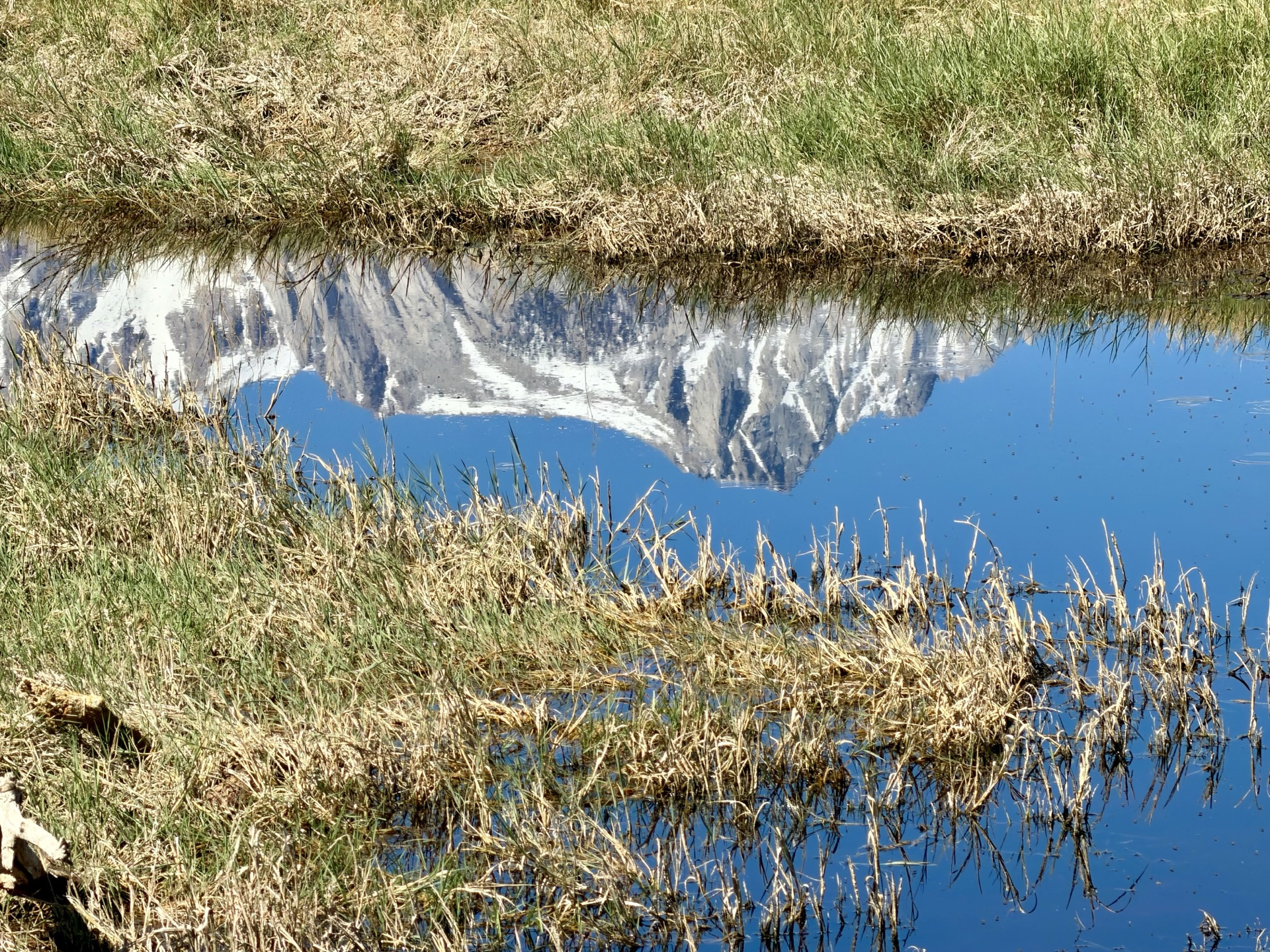
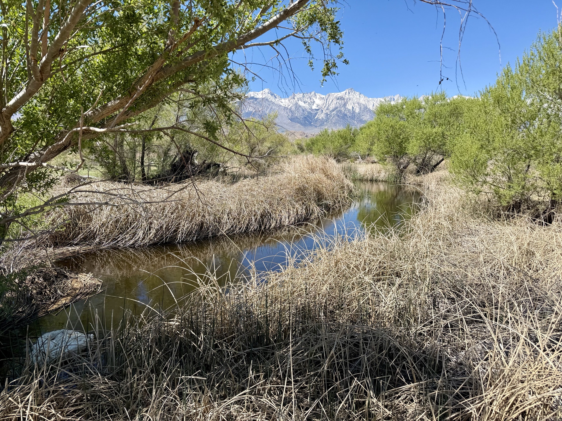
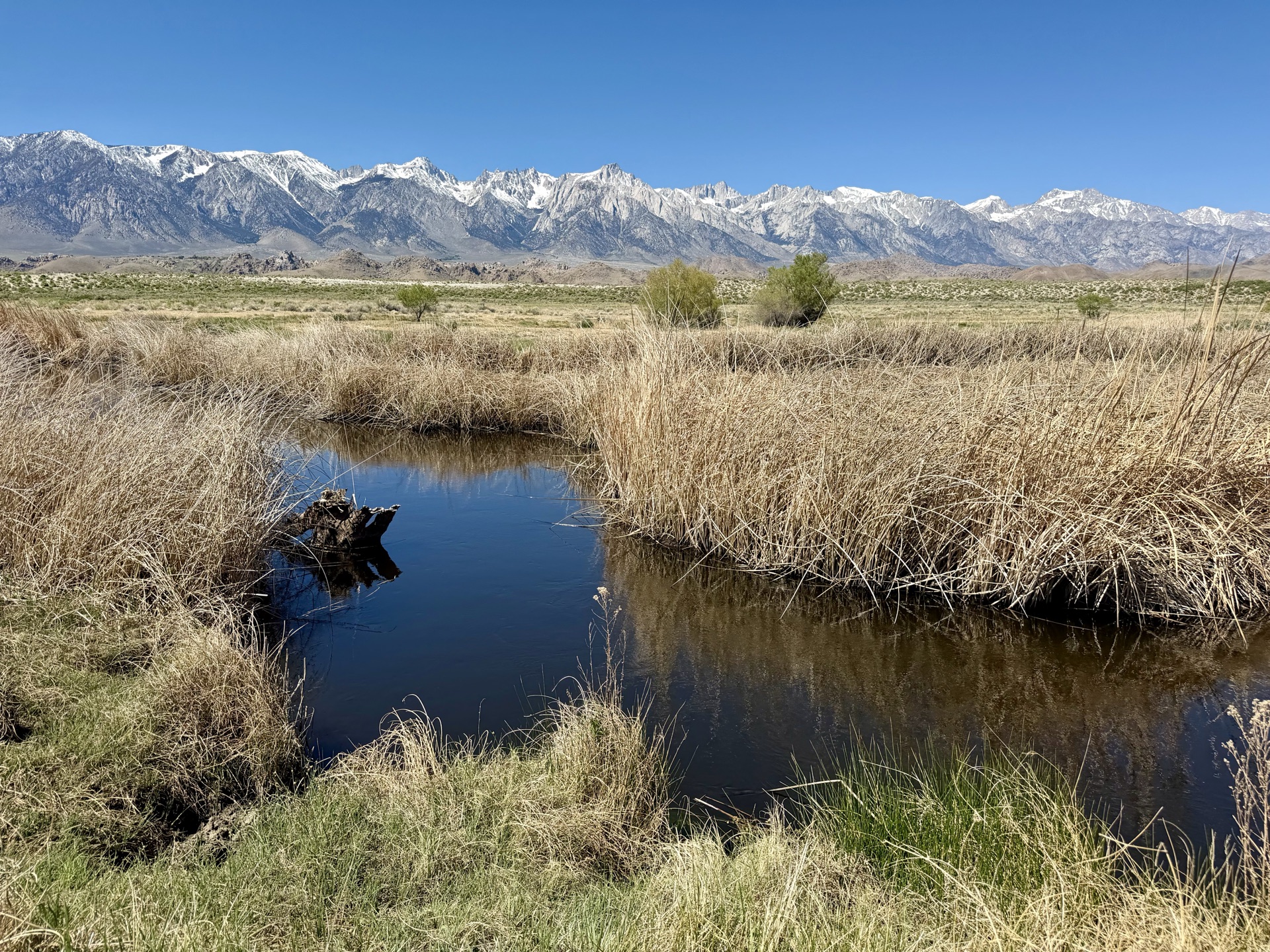
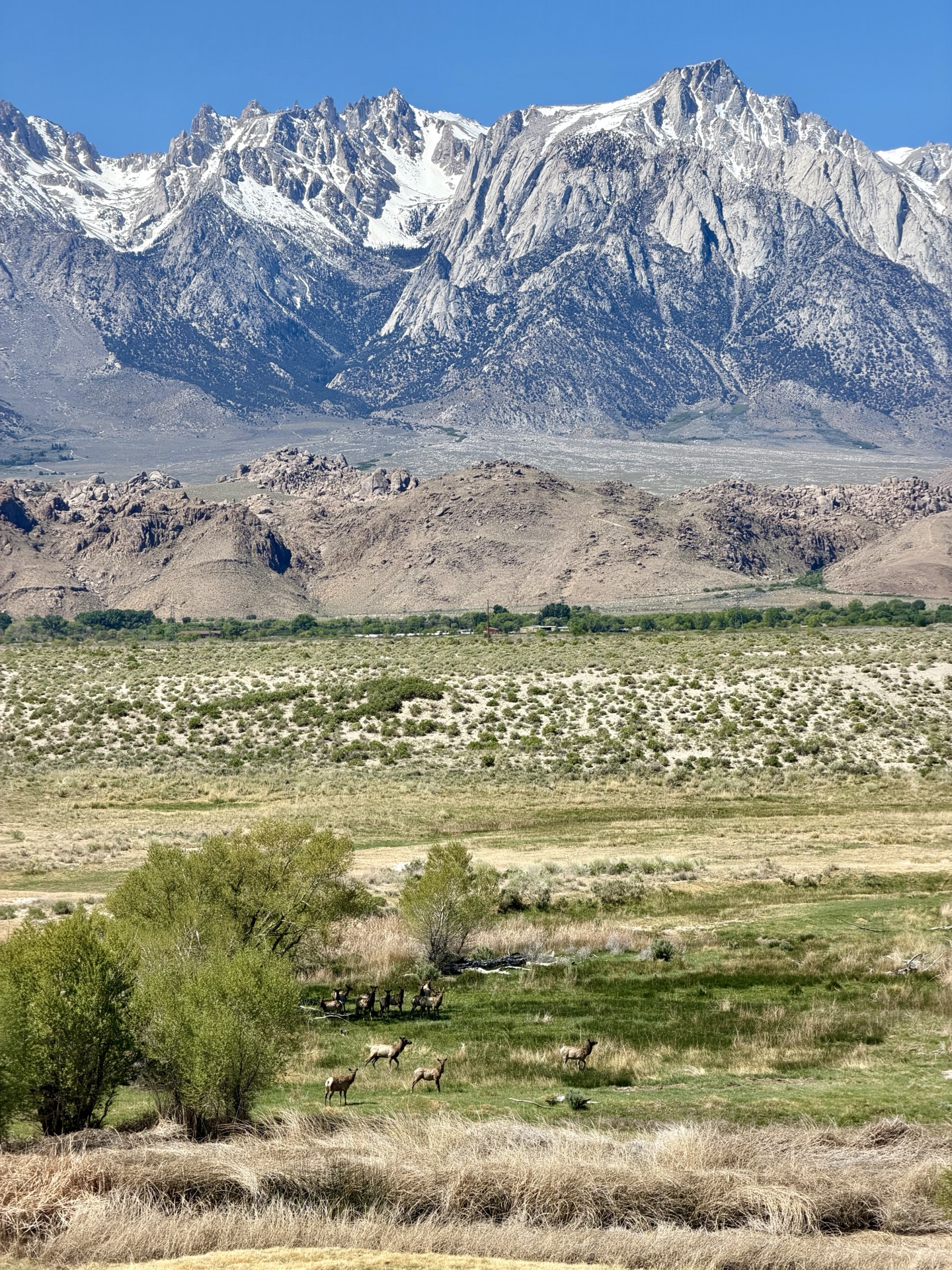
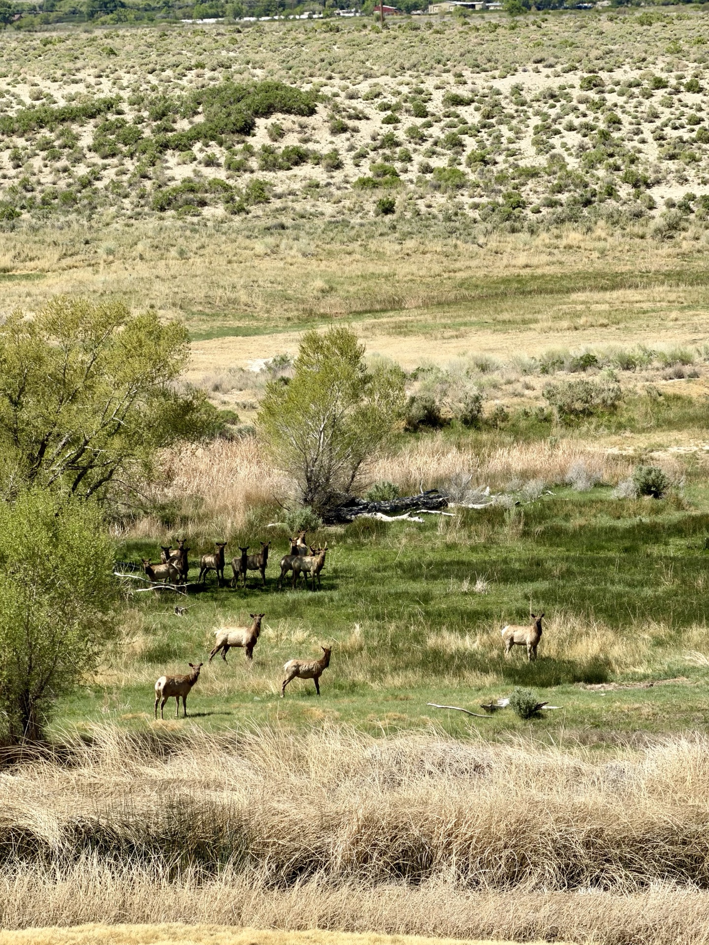
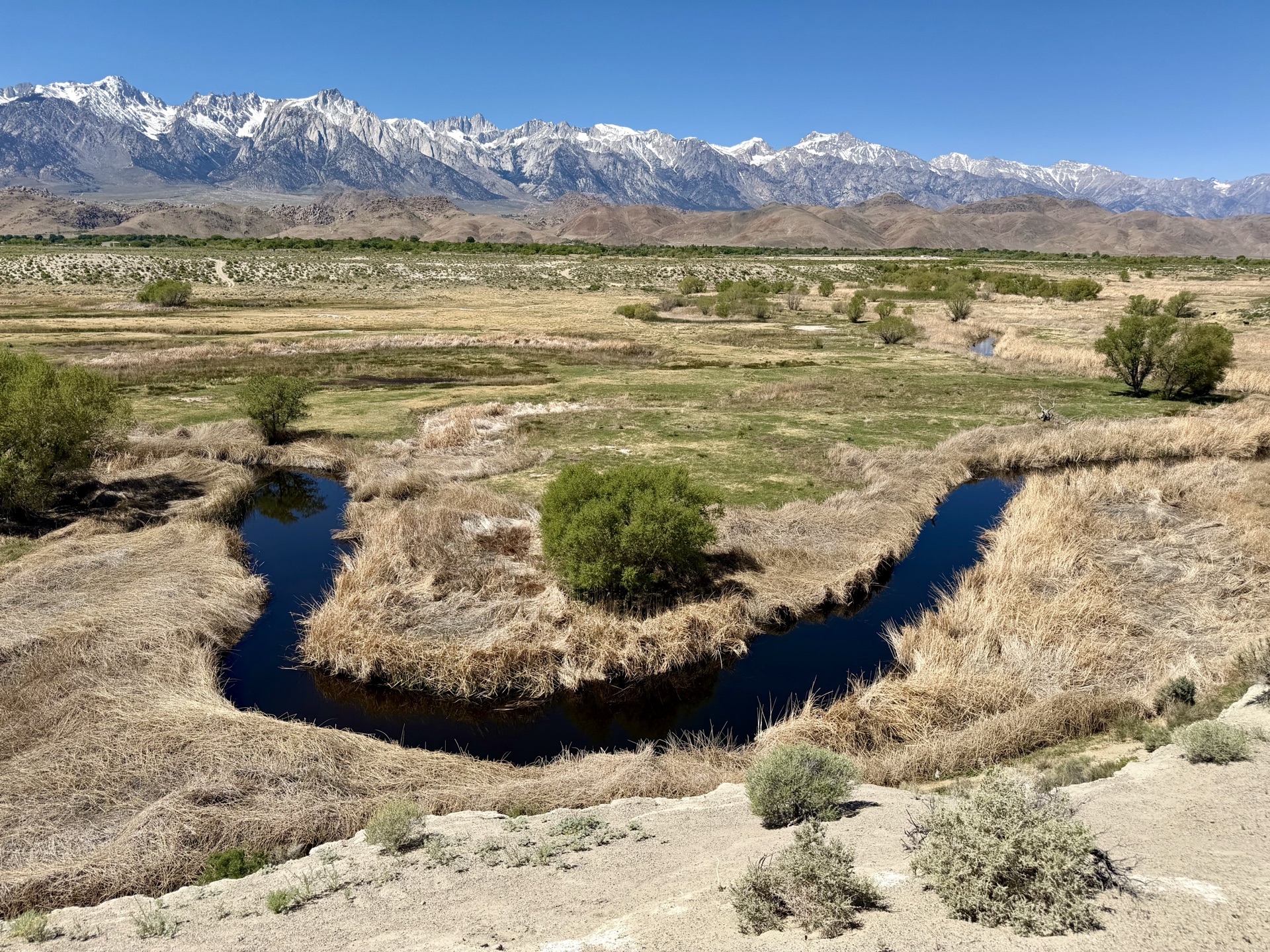
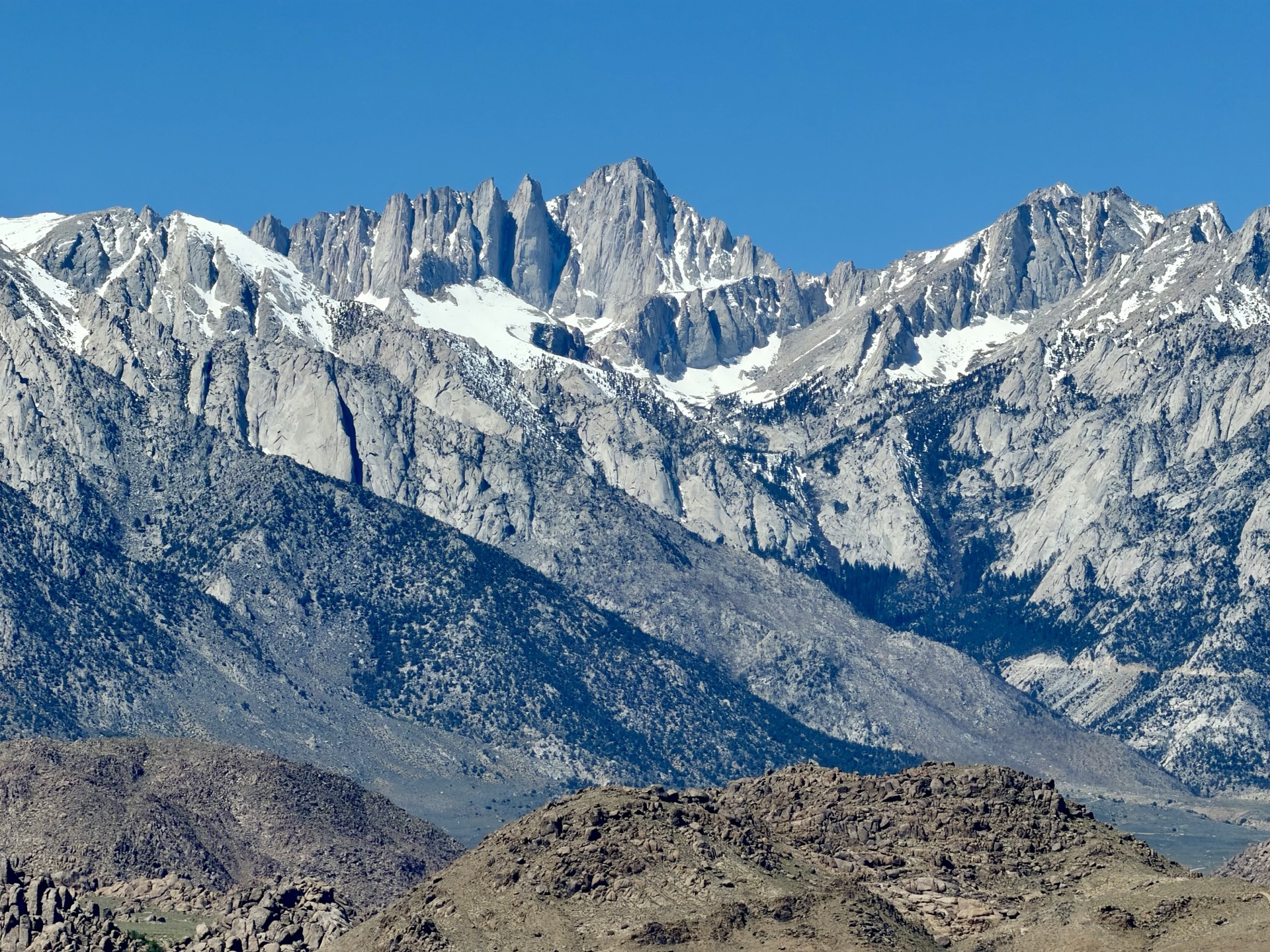
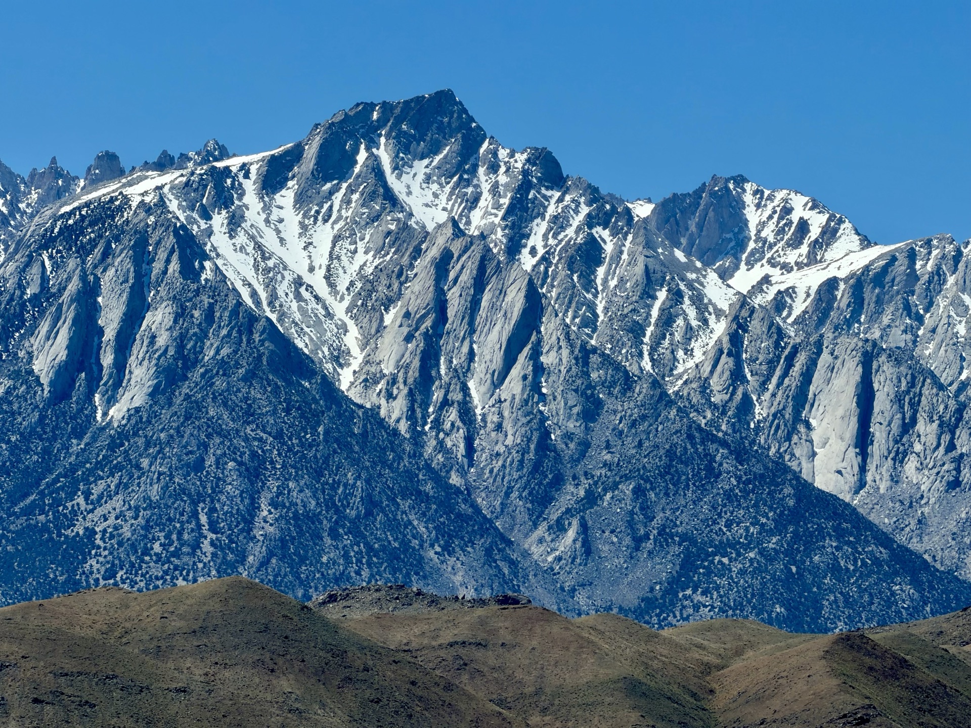
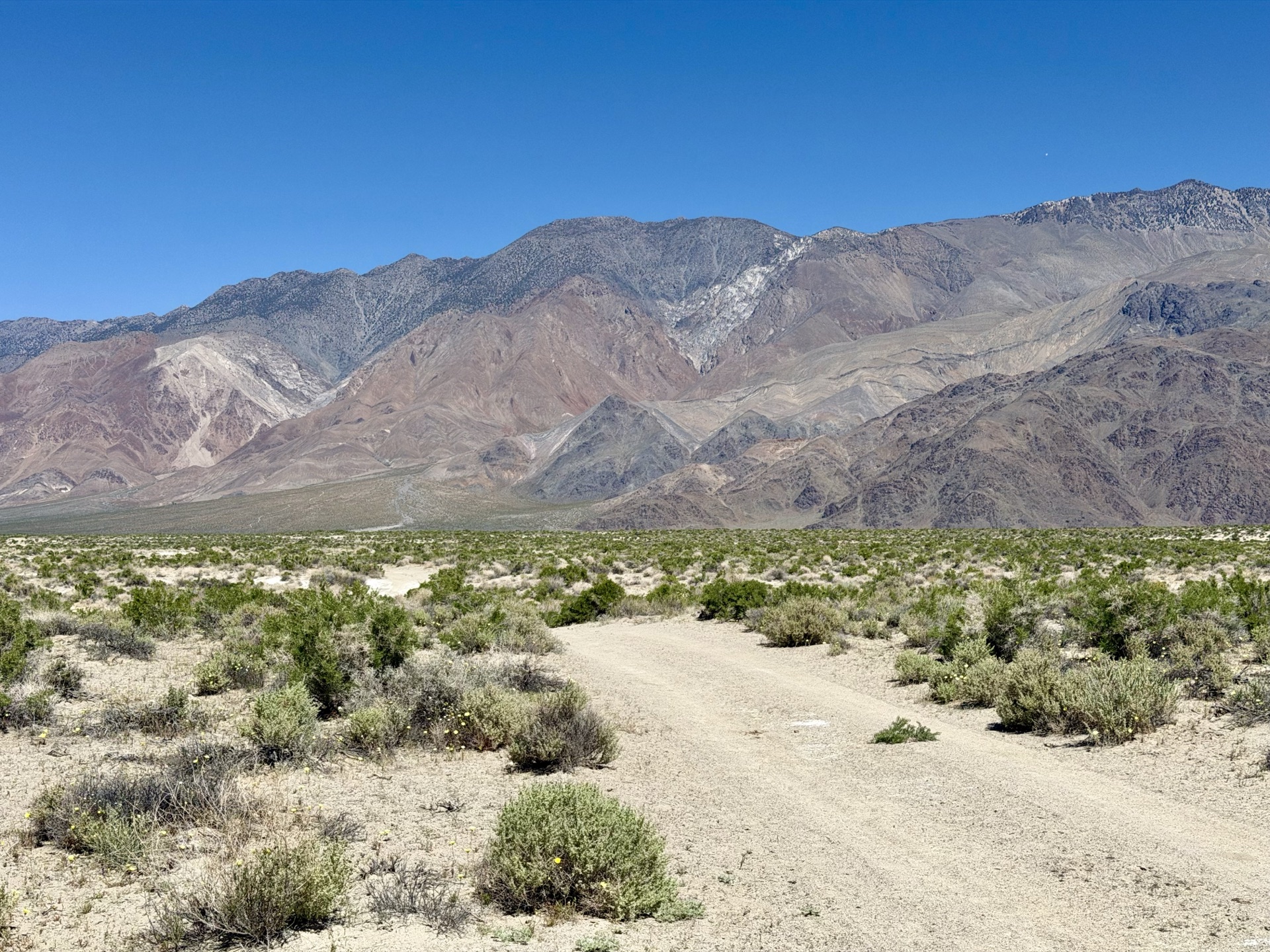
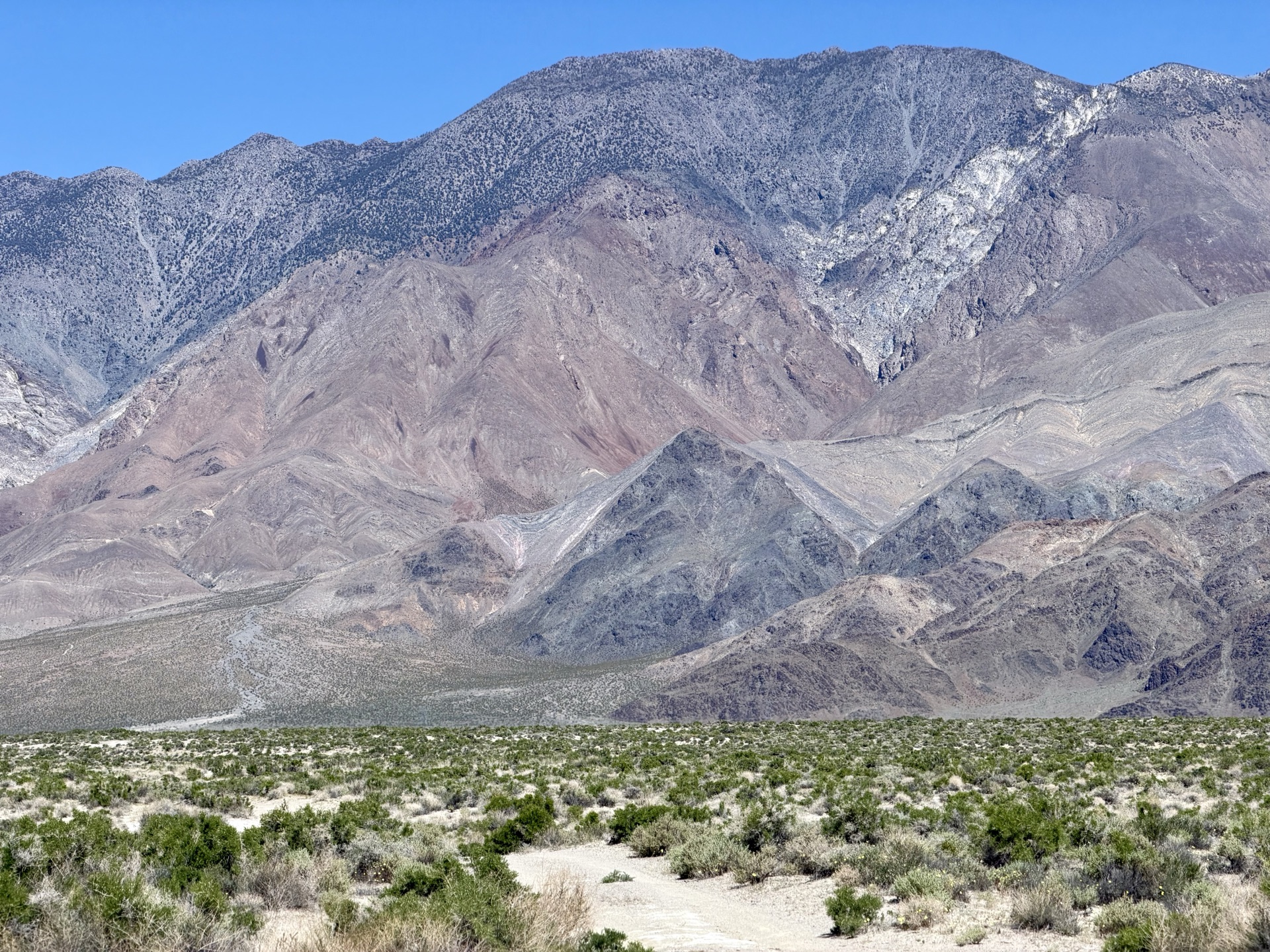
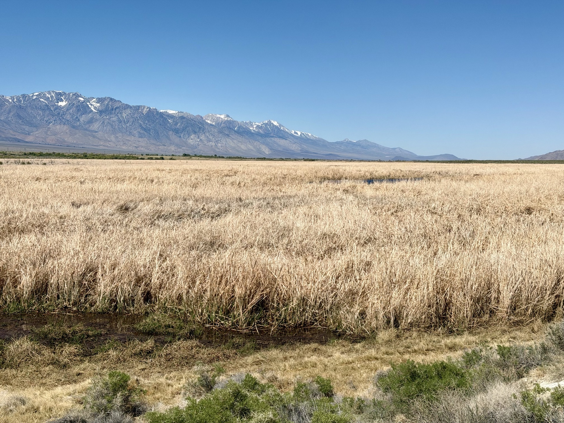
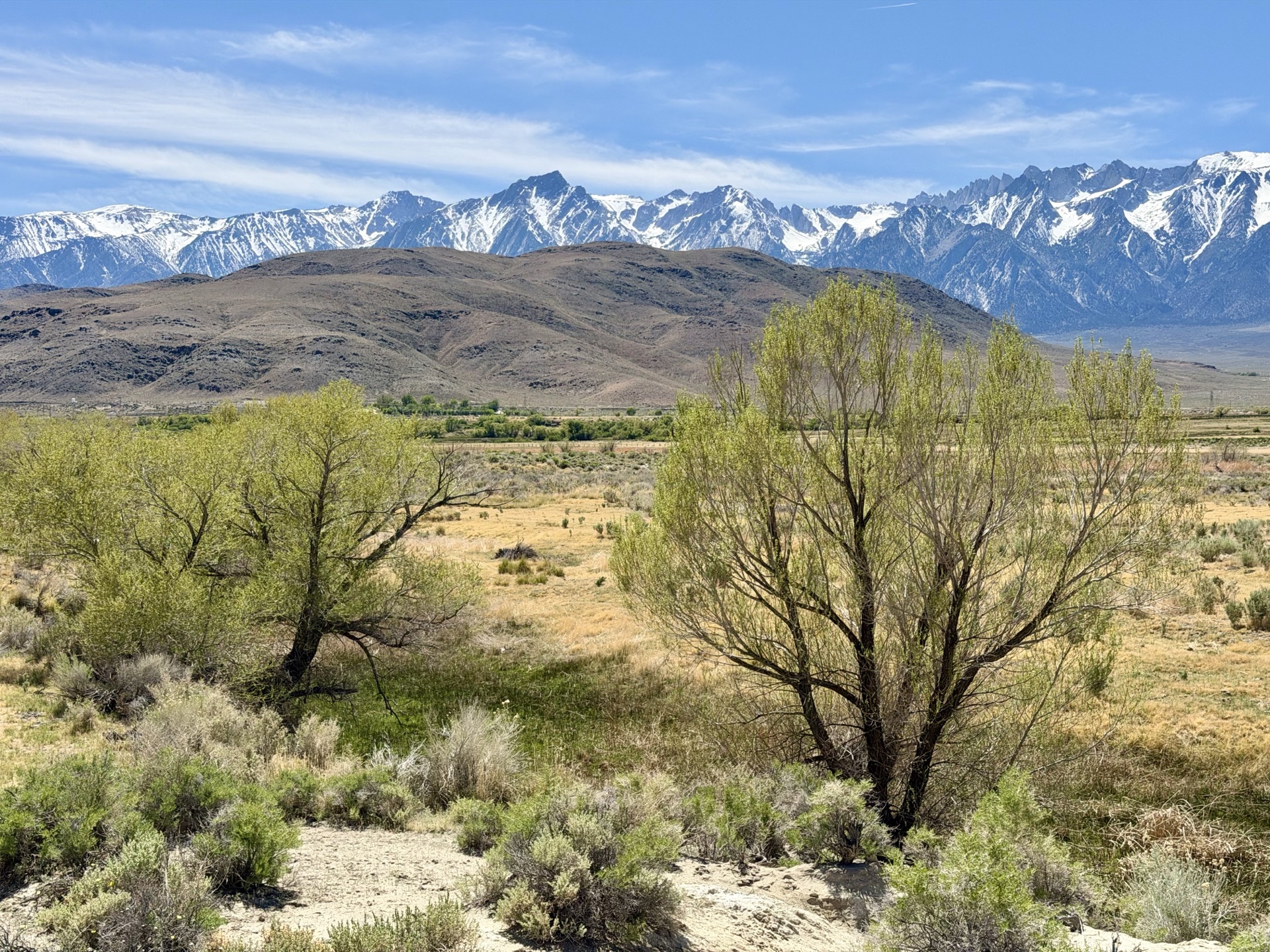
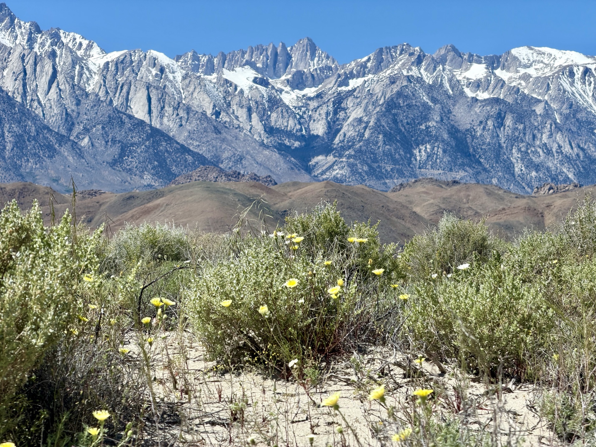
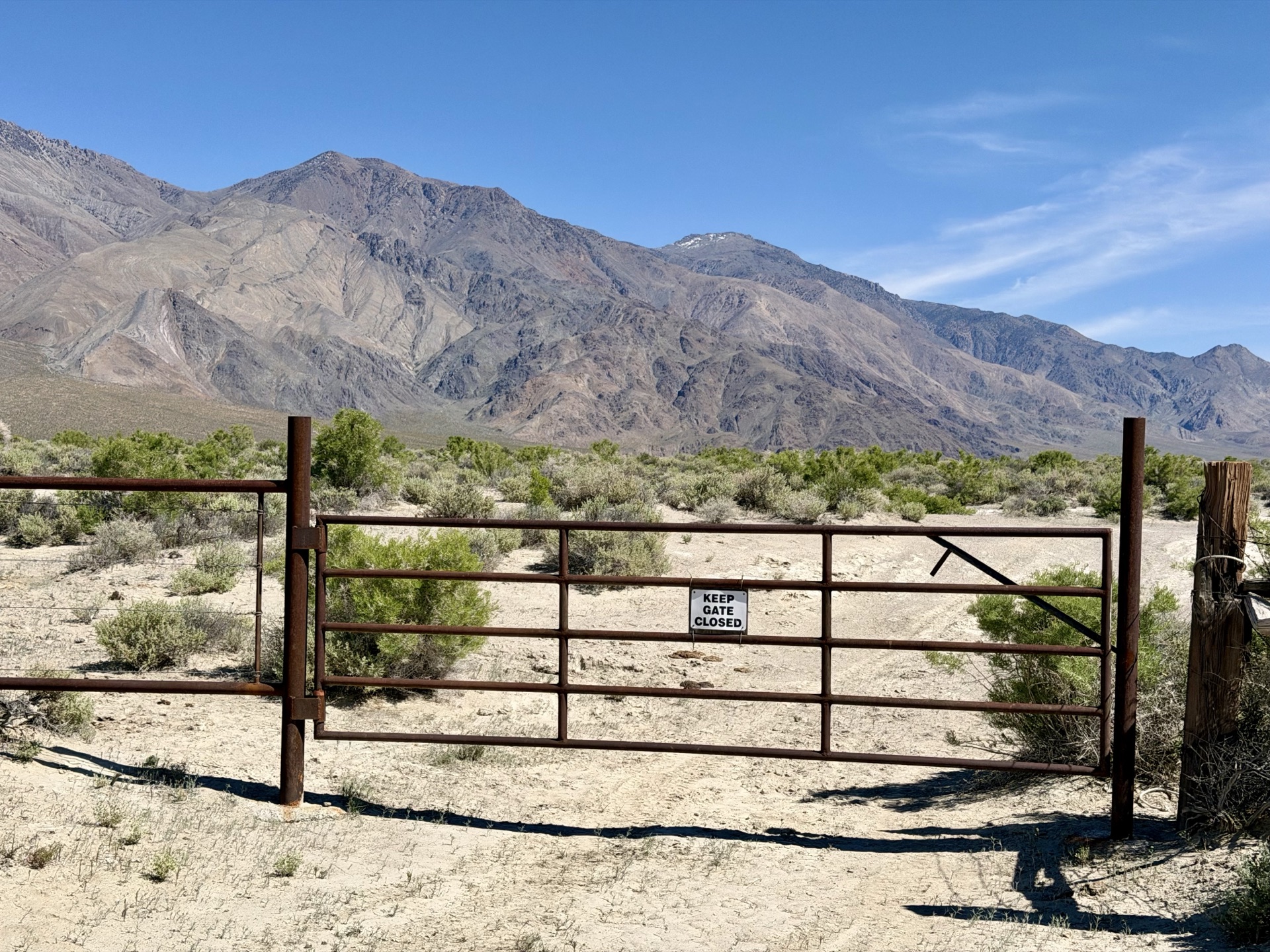
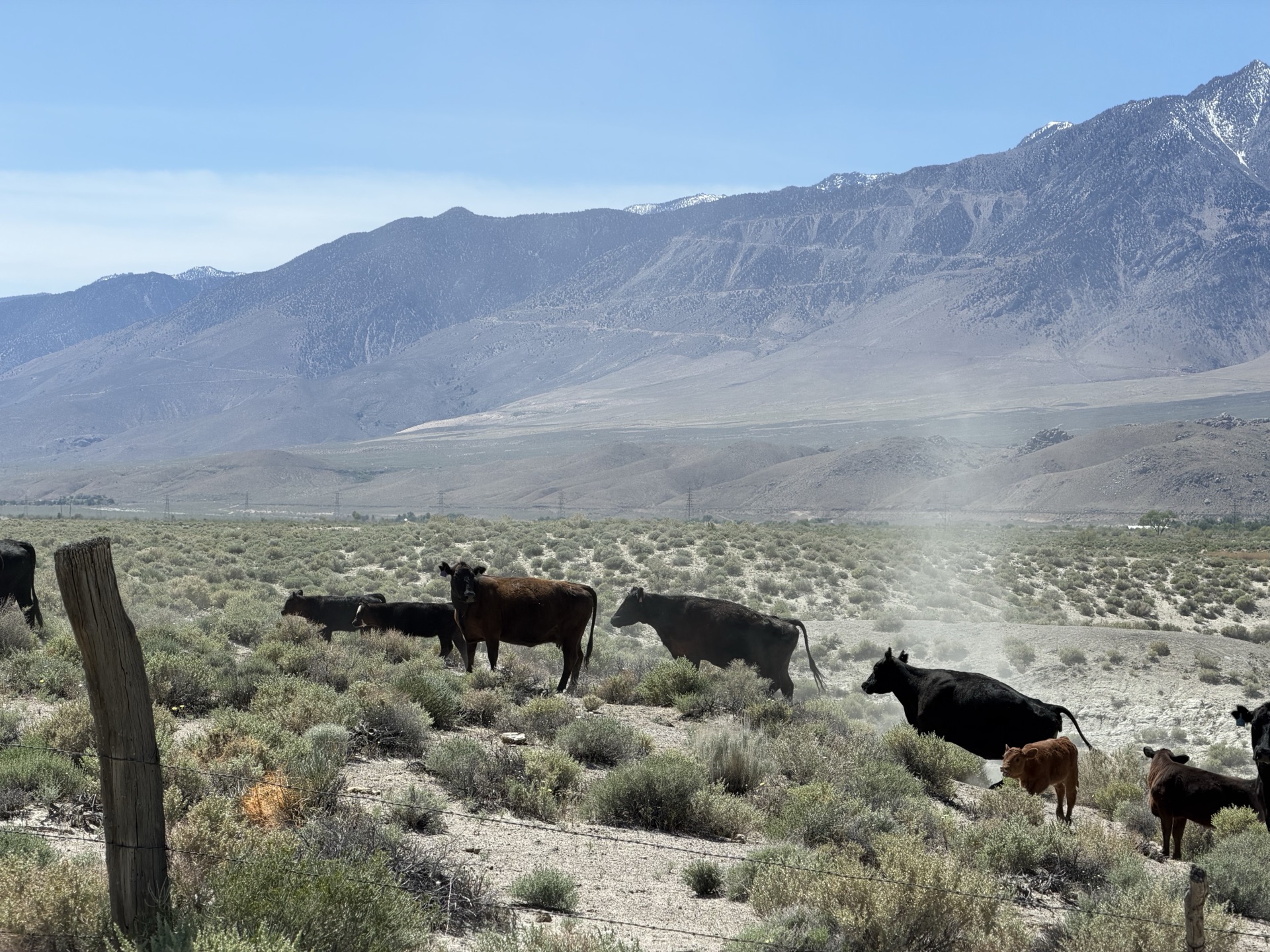
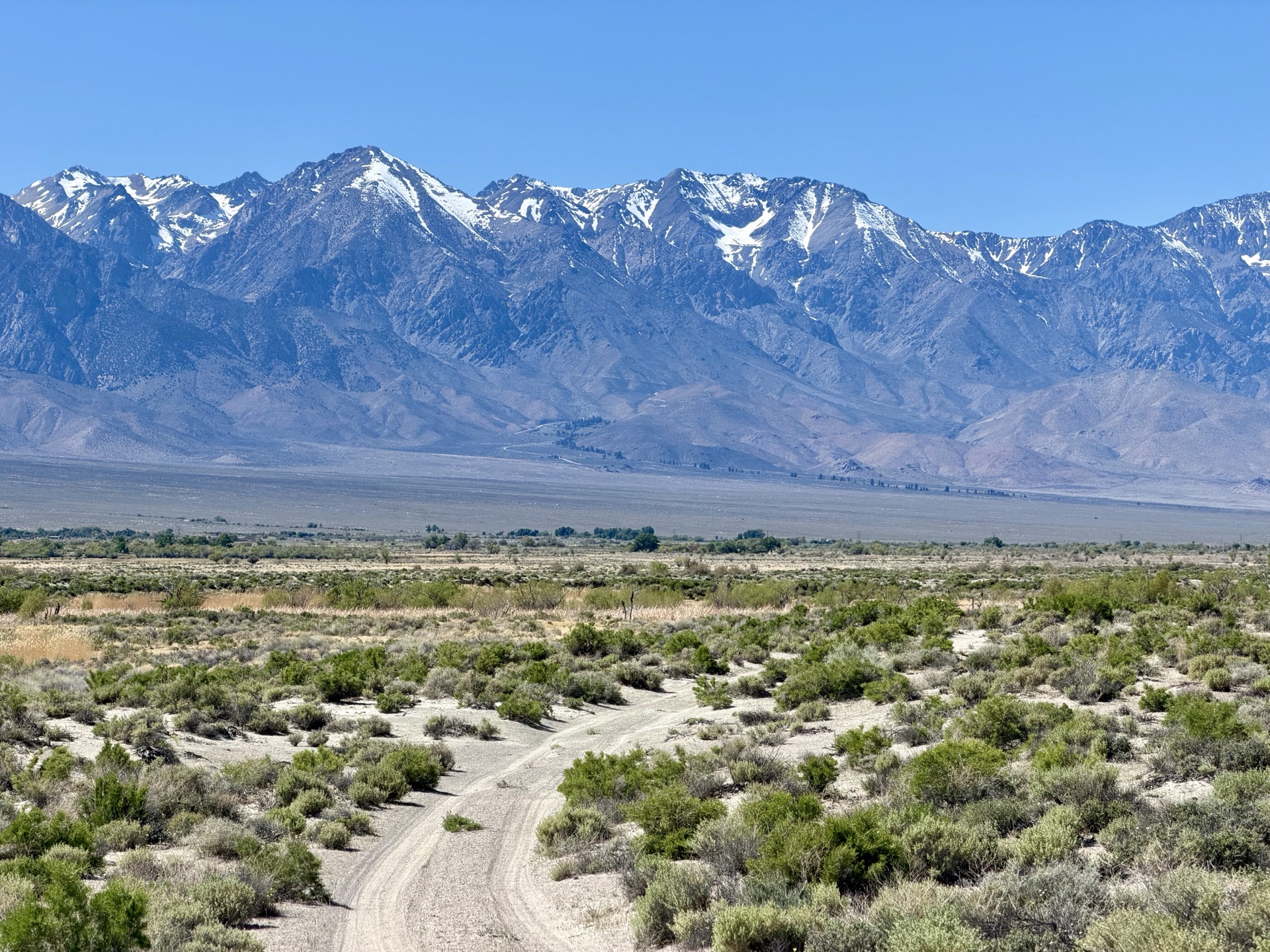
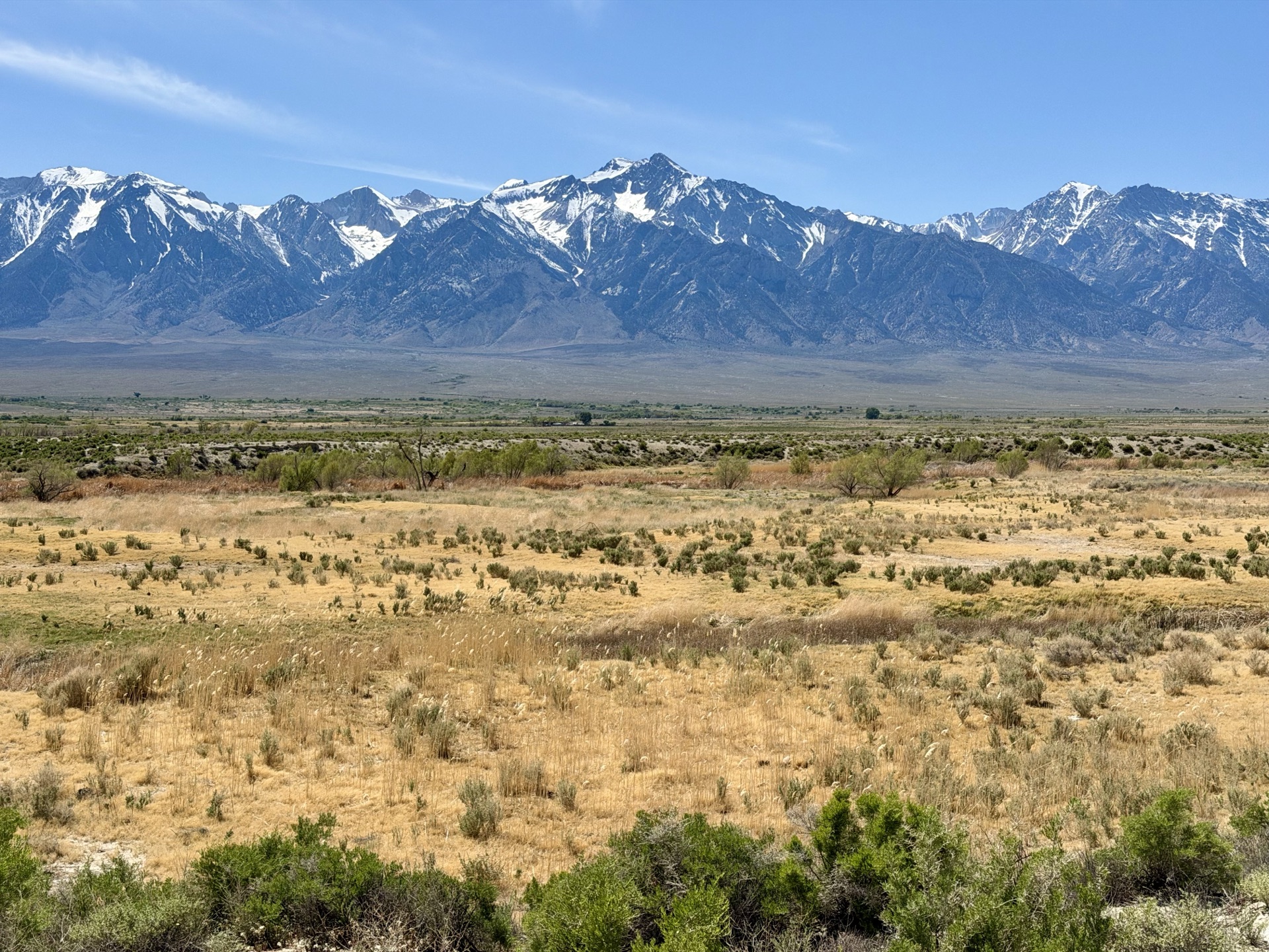
With LA Waterworks maintaining the area around the river, expect wild, unbuilt terrain, with birds, cows, and lush plant cover. The trail is mostly a flat dirt road, but the scenery is unmatched. With the slowly flowing shallow river, a strip of green near the water, and a mountain backdrop, it's as good as it gets. In one view you can take in the river, the Alabama Hills, and the High Sierra with Whitney front and center. And with it being spring, delicate flowers dot the trail, making this an ever more special run.

In one view you can take in the river, the Alabama Hills, and the High Sierra with Whitney front and center.

In the end I clock 21 hot, dusty miles, swim in the river, and drink a gallon of water. And yet it's the best day ever.

I get home psyched about upcoming adventures, and then — just as the next week starts — I am injured. There go my plans.


Trail starts with clear views of the High Sierra Crest — Langley, Lone Pine Peak, Whitney, and Russell
Lone Pine Peak reflected in a small pool, formed by water rising and receding
Owens River channel is usually close to the trail
Owens River
Was surprised to see and startle a herd of deer
Deer near the Owens River
This run has it all — views of the Owens River, Alabama Hills, High Sierra Crest, and Mount Whitney itself
Mount Whitney; trail to summit not visible in this photo
Lone Pine Peak
Lone Pine Peak
The other side of the run is no less spectacular — Inyo Mountains
Mount Inyo, 10,974 feet
River supports a variety of plants, including large beds of reeds
Cottonwoods
Cottonwoods
And early spring flowers
Many fences to pass, keeping cattle from dispersing
Expect to see a large number of cows early in season
As the trail approaches Independence, the Alabama Hills give way to plains
And Mount Whitney is no longer clearly visible; here Mount Williamson dominates the view
Alabama Hills Bakery and Cafe — great coffee
And cinnamon rolls
And cinnamon rolls