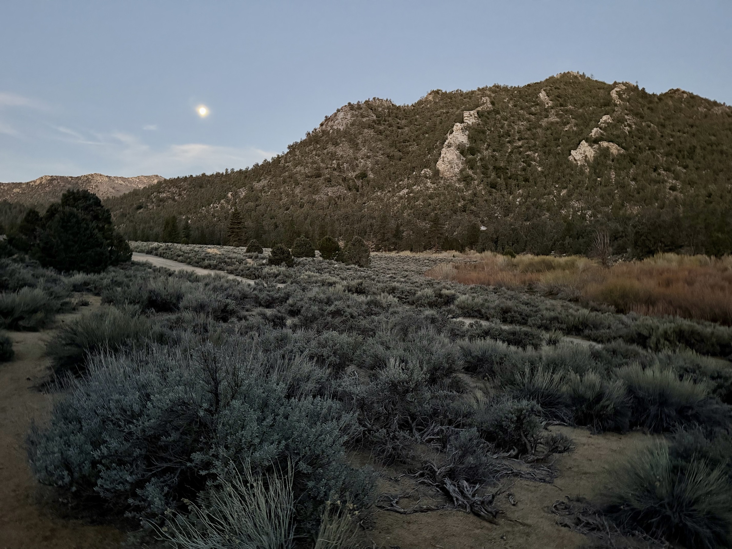
It feels like spring, but as the car climbs toward Kennedy Meadows, temperatures drop below freezing. Morning will be dreadful, I think to myself — and I am right.
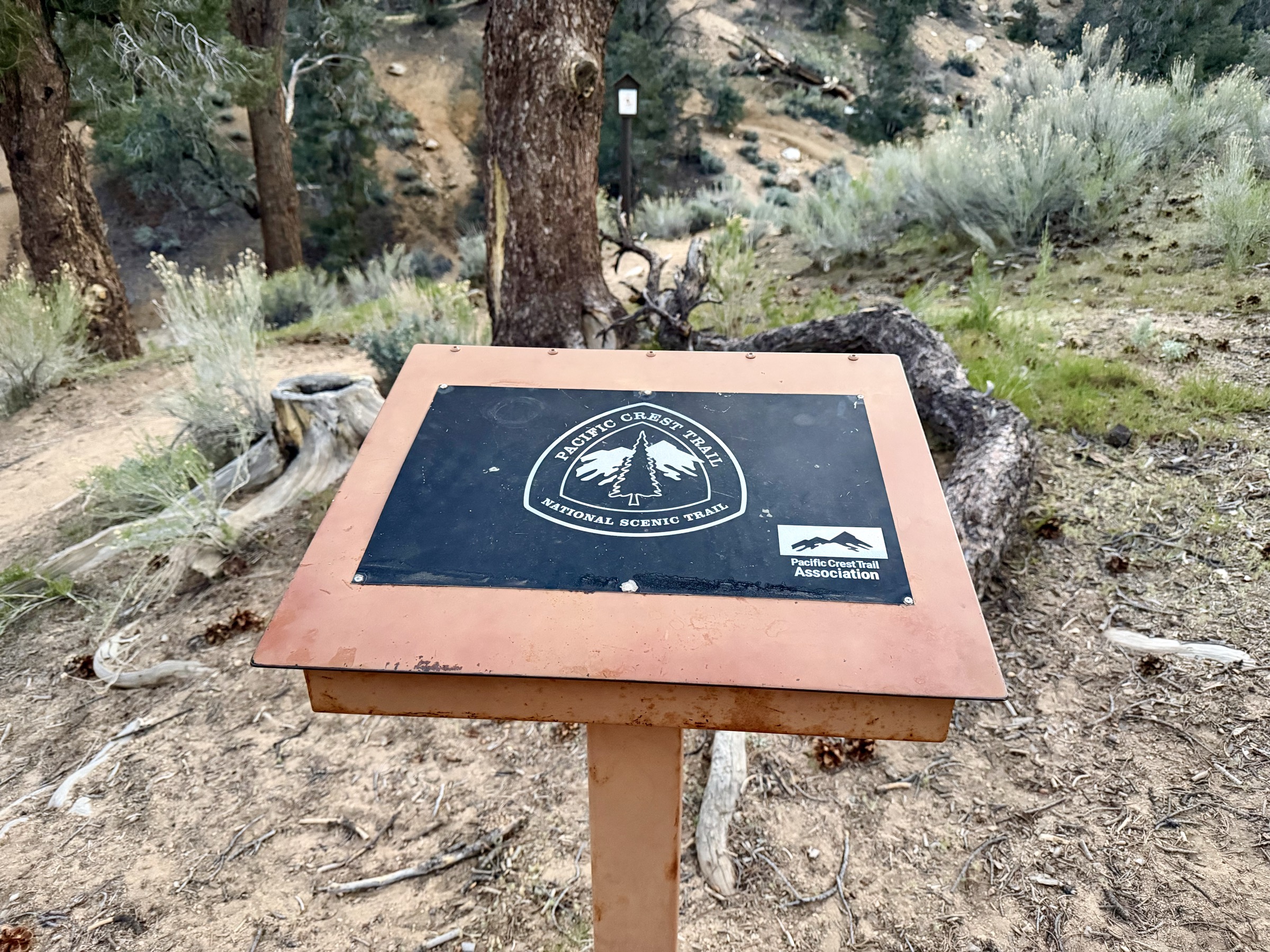
Today I am traversing the PCT from Kennedy Meadows toward Cottonwood Pass. Olancha Peak has been a beacon on the horizon since day one, and today my goal is to tag the summit. It's a short but very steep few-hour detour from the main route.
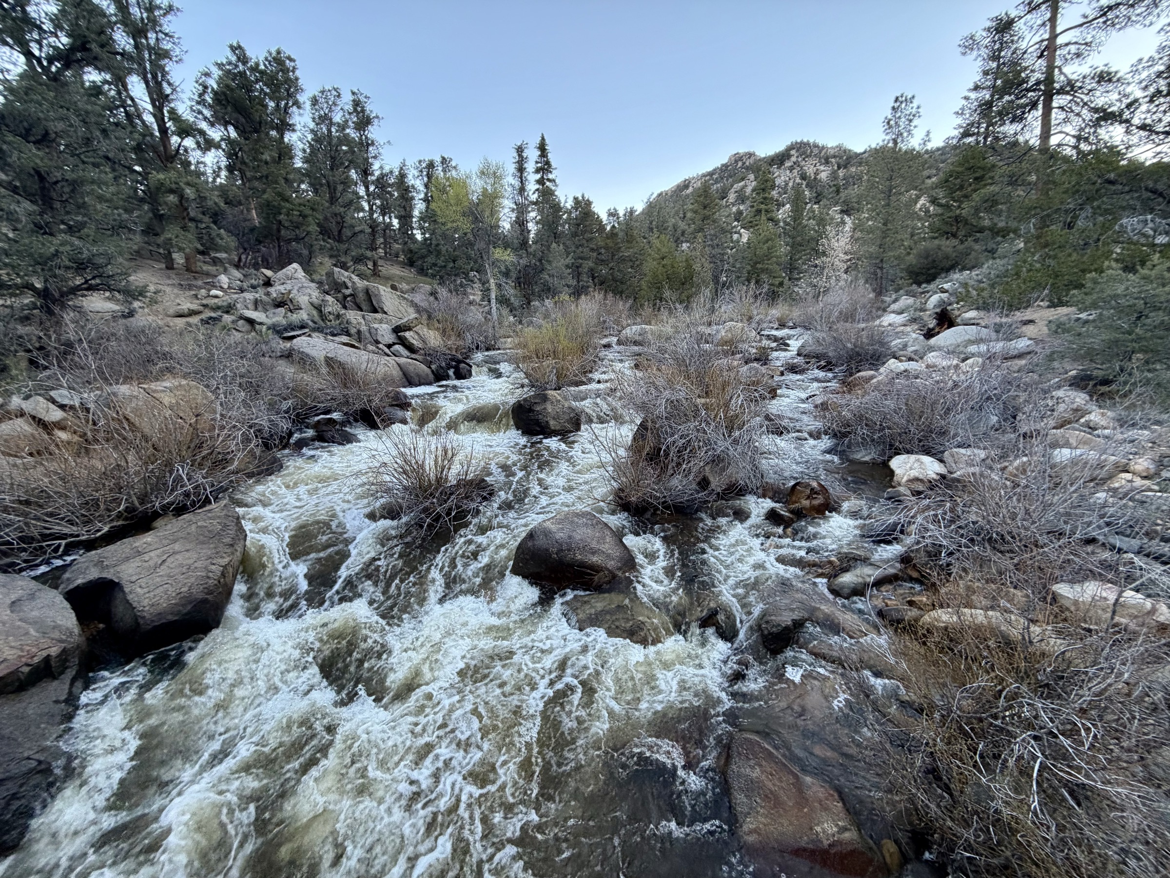
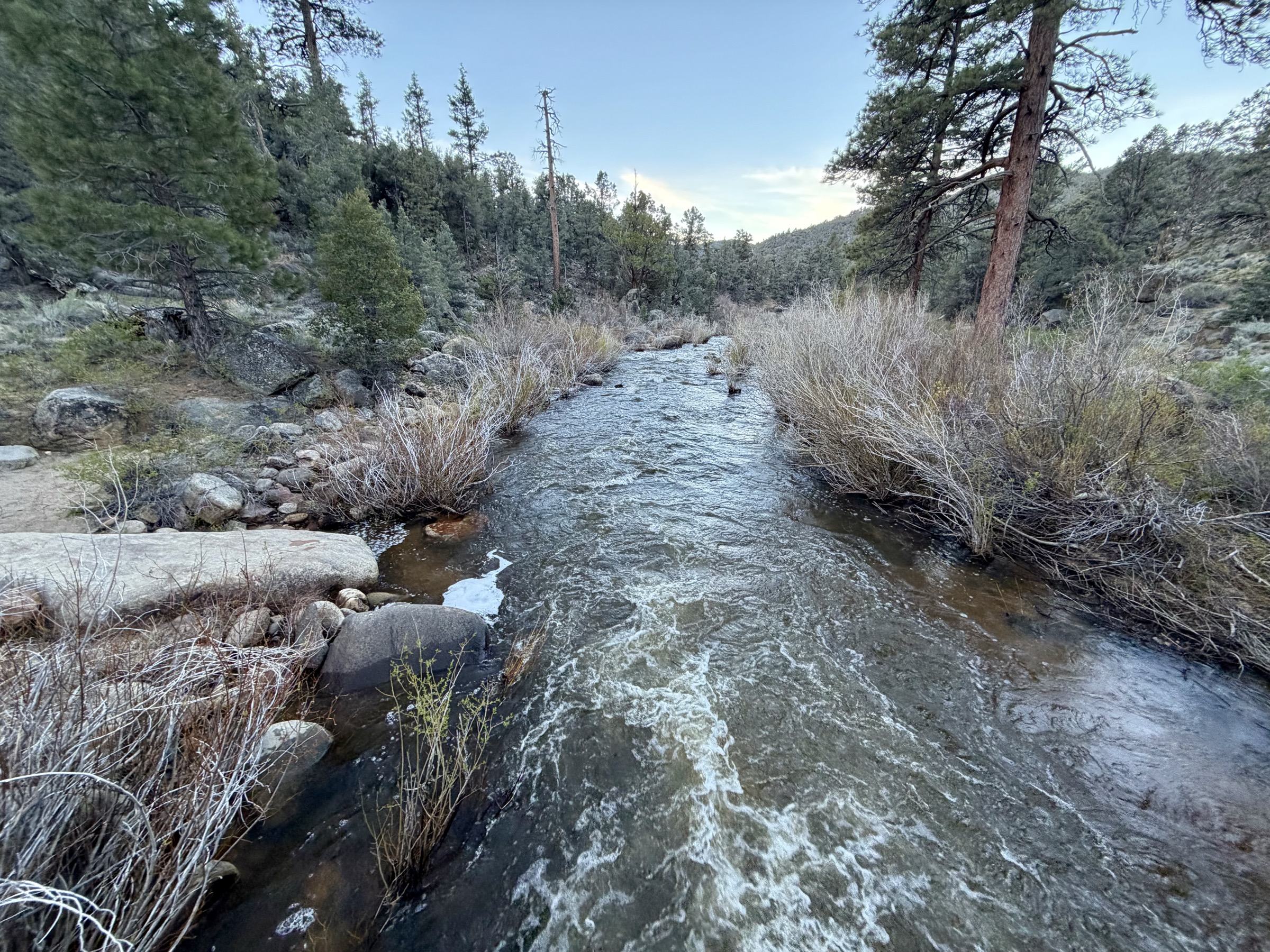
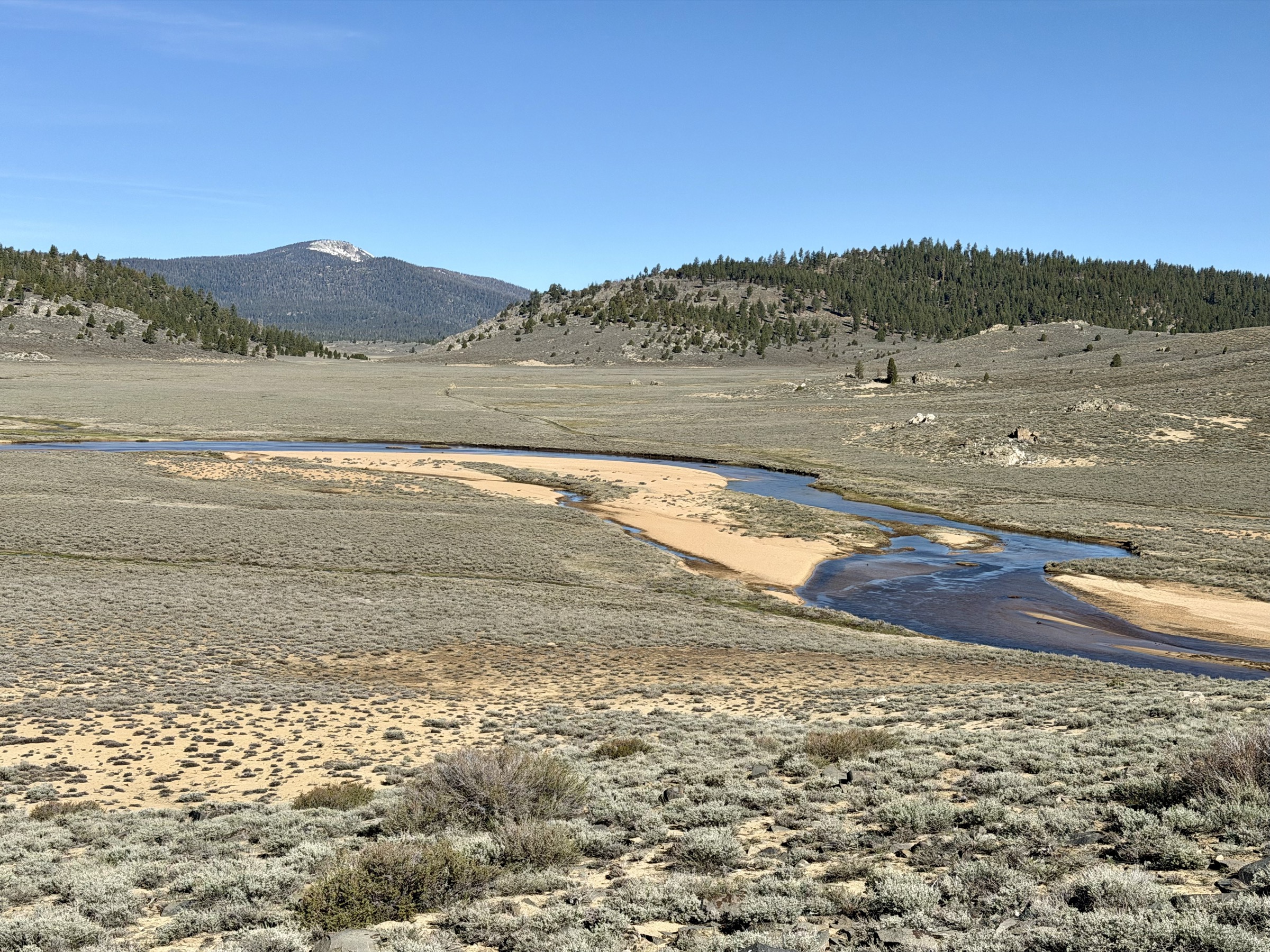
Morning starts brutally cold. I pull on an extra hoodie and gloves, and the ground crunches with frost underfoot. But the miles are smooth — perfect trail, sandy meadows, gradual ascent. Ideal running. For the first few miles I hear the South Fork Kern River rushing alongside me in the dark, invisible but loud. Eventually I reach a crossing and feel a wave of relief — the bridge is intact. Something you can never assume in the wilderness. The river is extremely swollen, and a quick look at the map reminds me how dependent I am on bridge crossings at this time of year. Alternative routes are few.
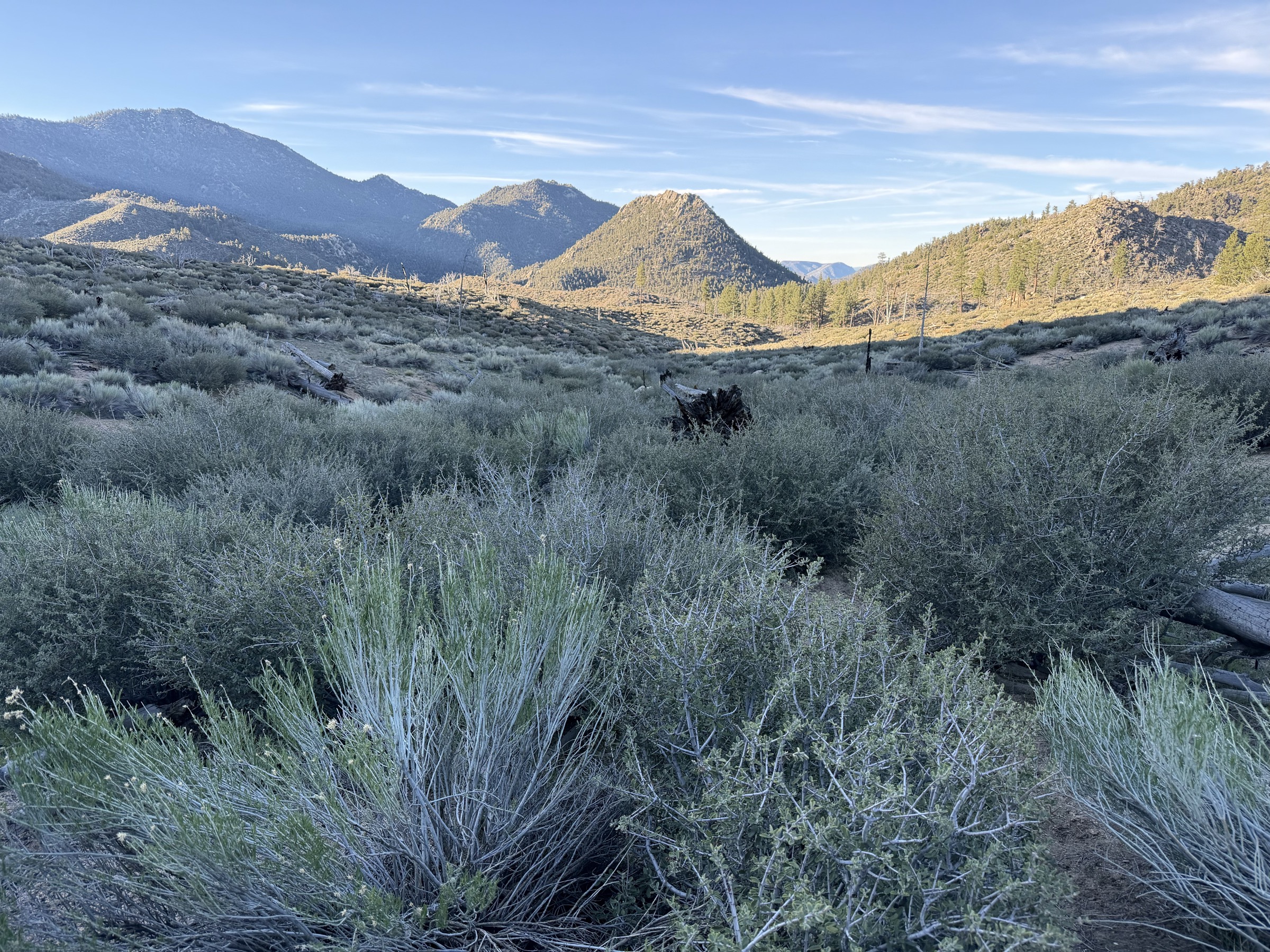
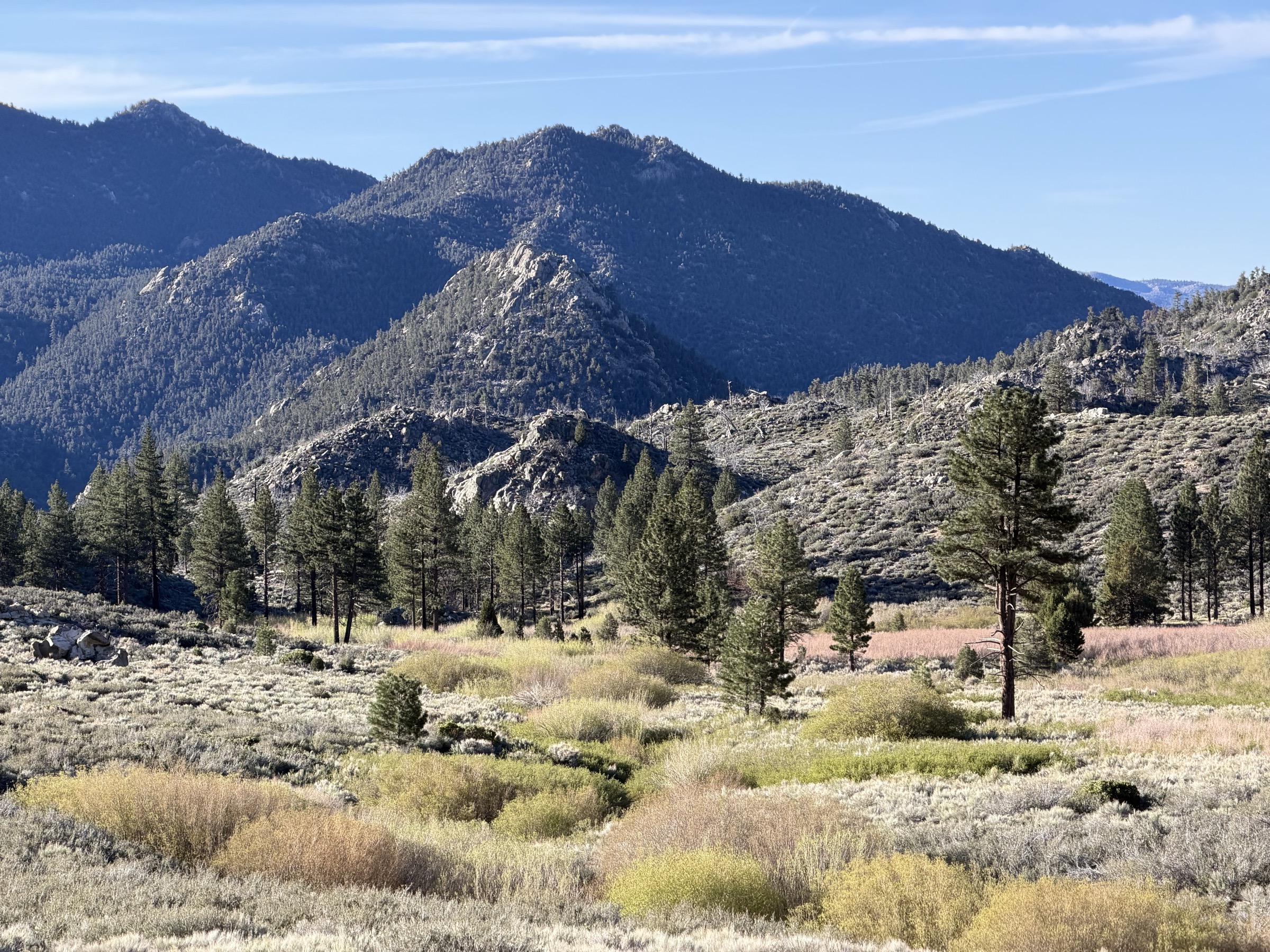
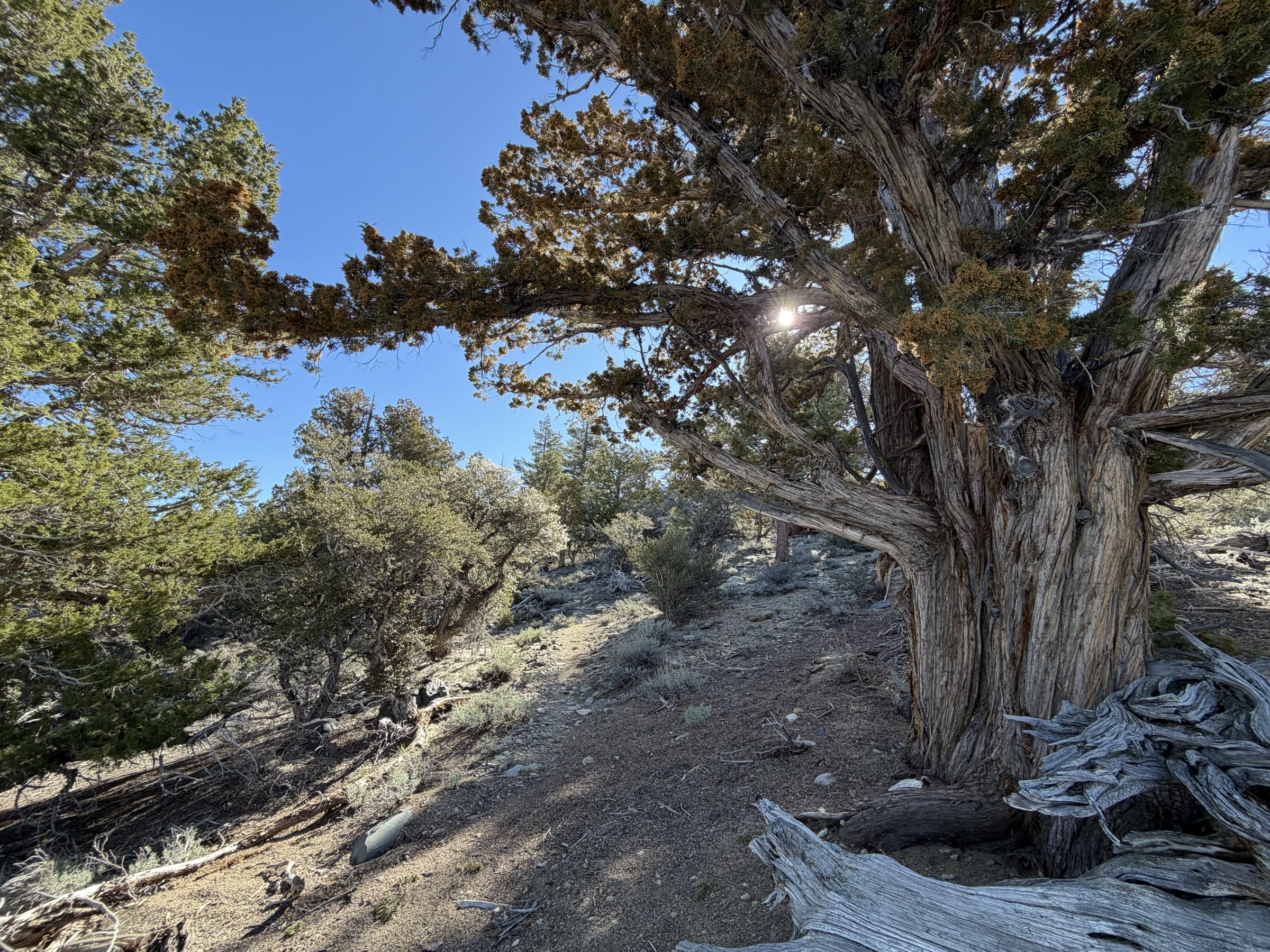
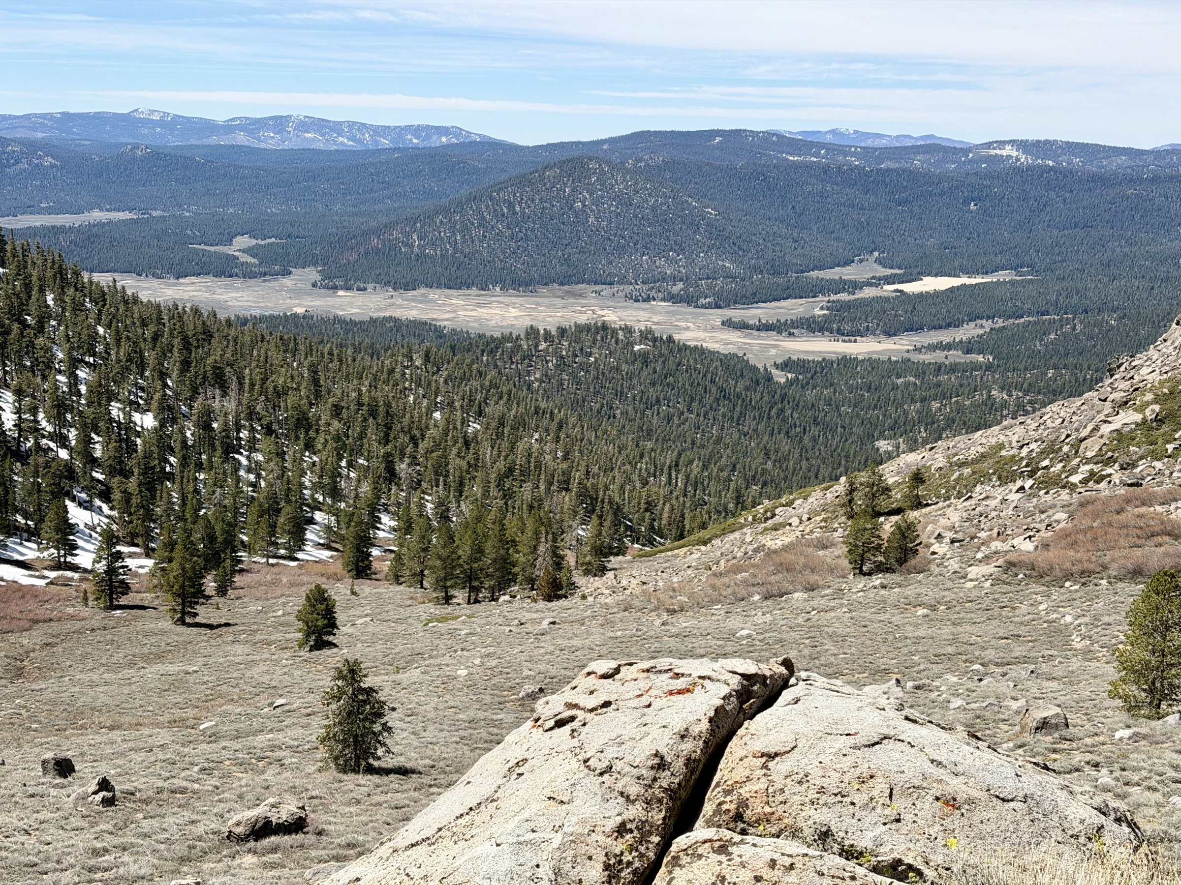
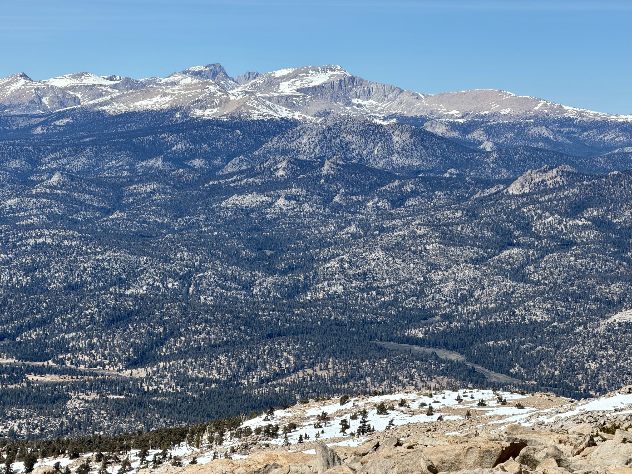
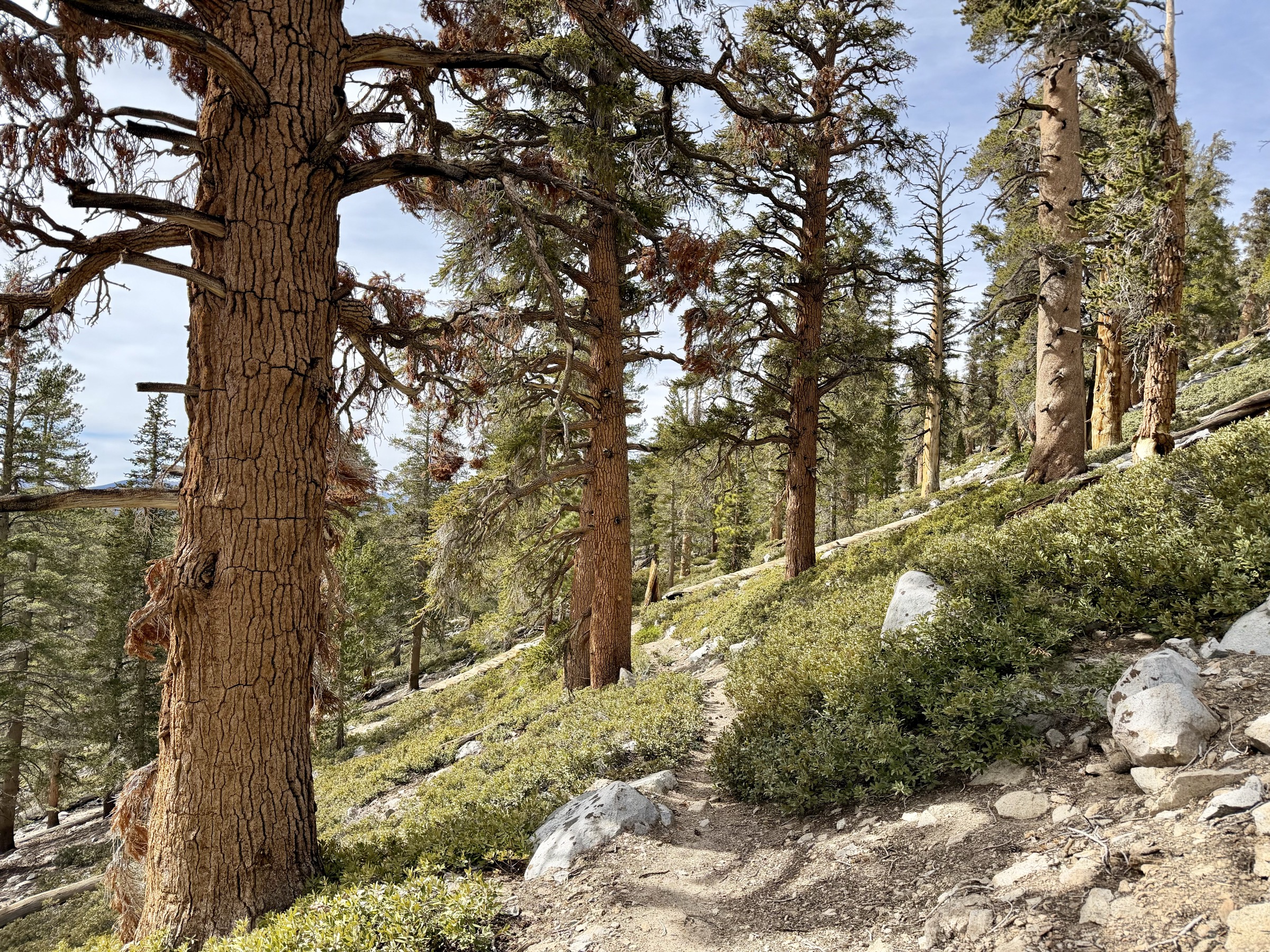
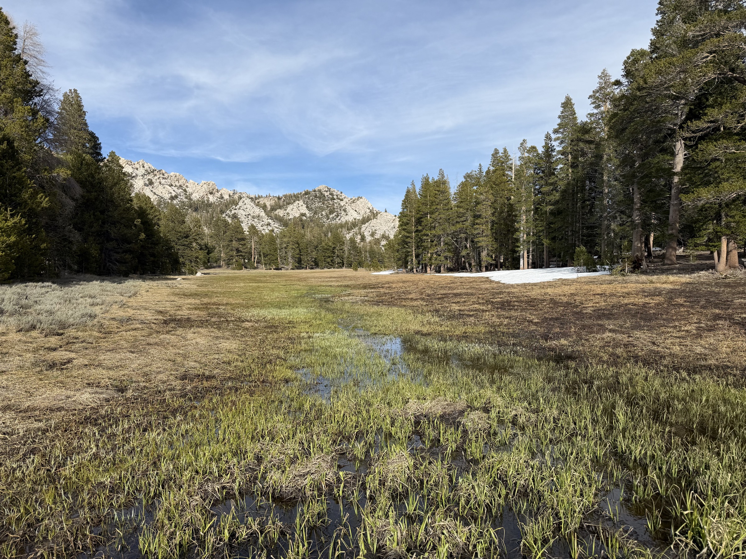
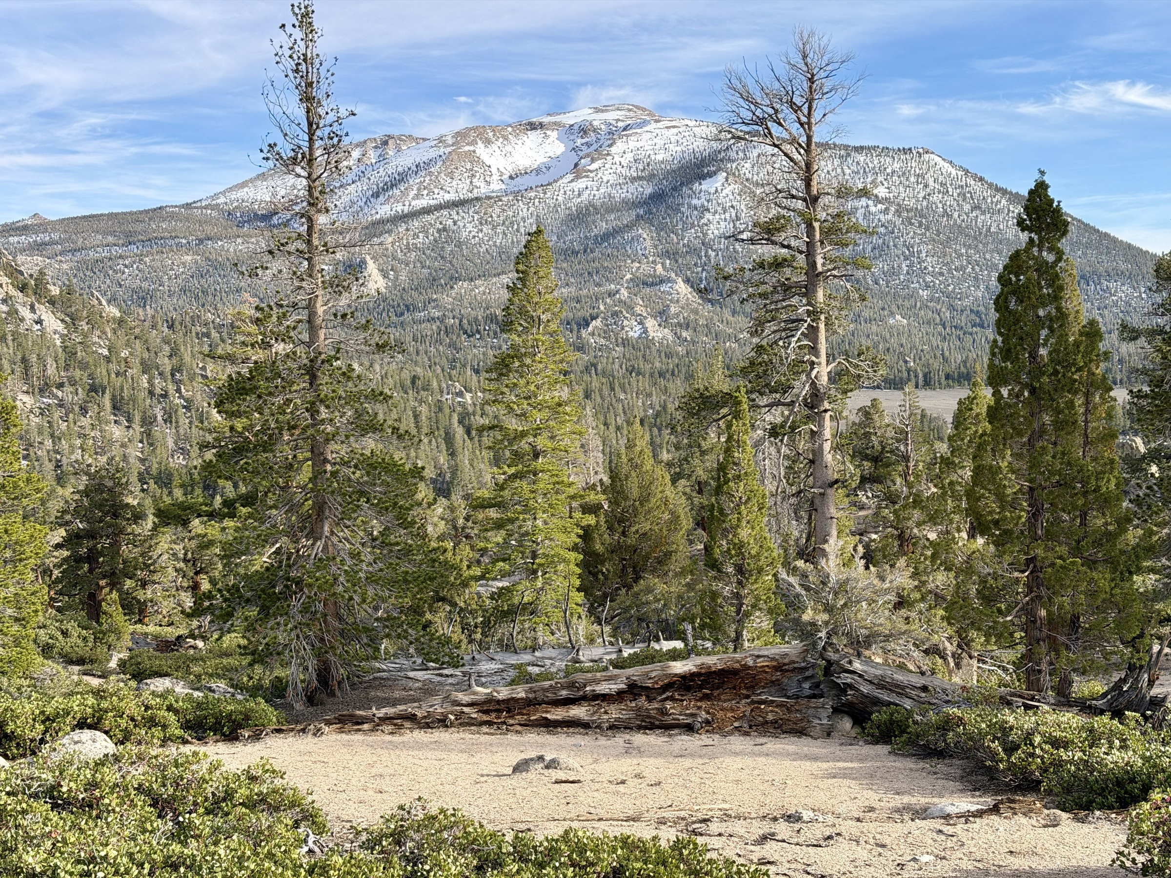
The sun comes out but the cold wind stays. This day is not going to warm up much. I'm finally running in the High Sierra — generally considered to begin above 8,000 feet — and I move through juniper forests, their old twisted branches making the run feel ancient and magical. A long gradual ascent leads to the saddle between Crag Peak and Deer Peak, then drops toward Beck Meadow. The meadow is gorgeous: a long quiet Sierra shrub flat with a creek meandering through the middle, the PCT leisurely skirting its edge, alternating between forest shade and open views.
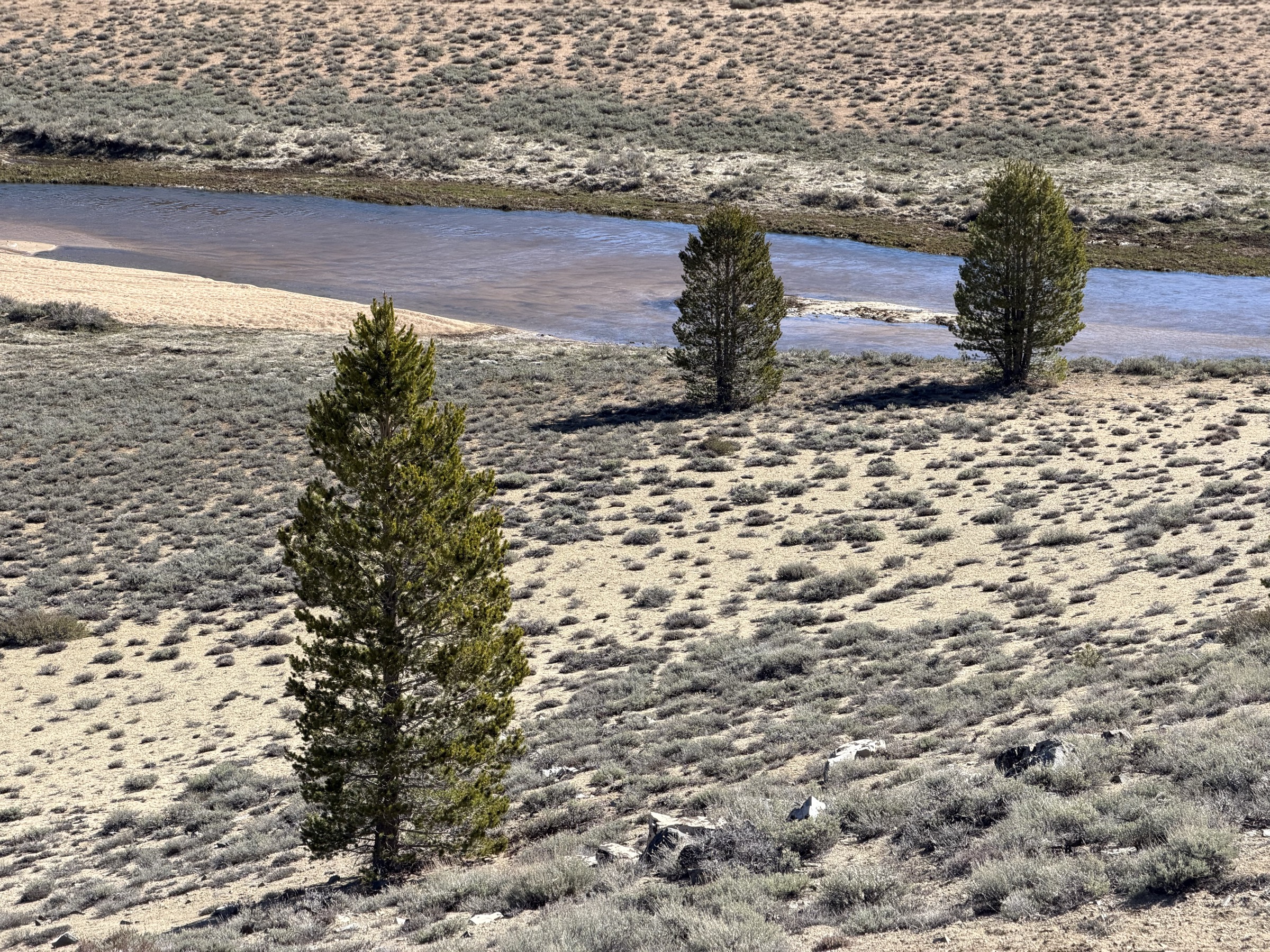
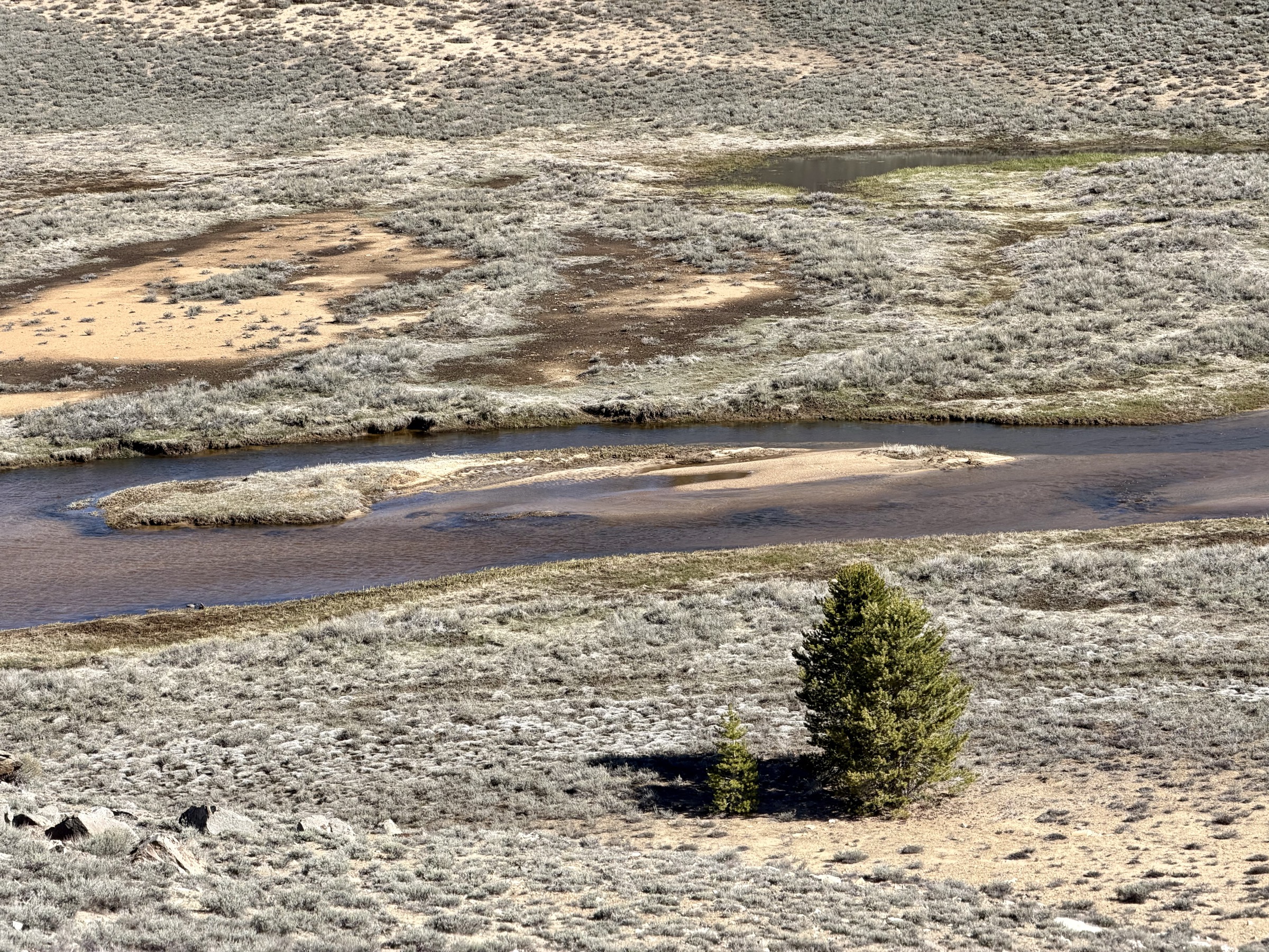
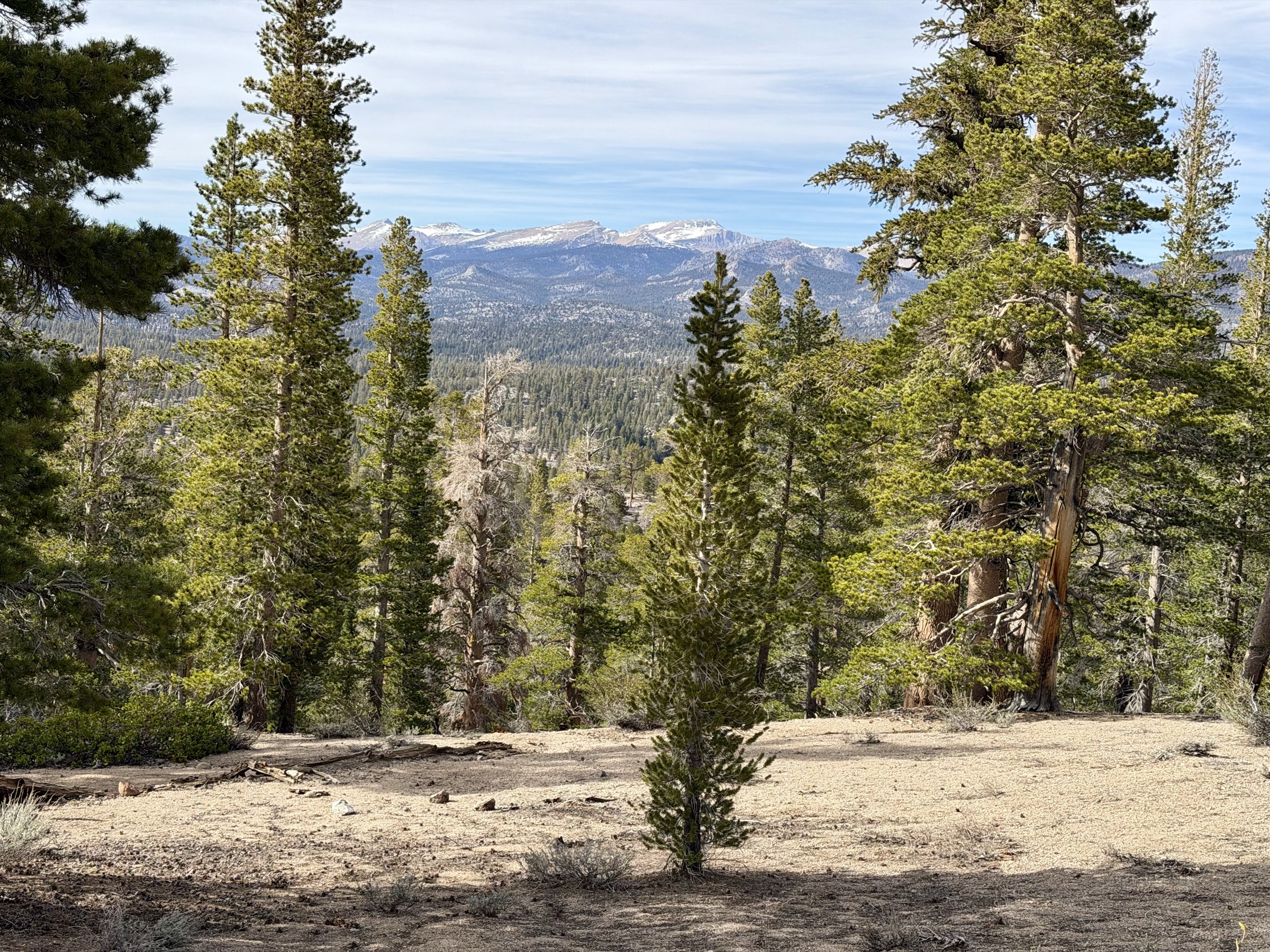
The trail eventually bends back toward the South Fork Kern River for a second bridge crossing. The river is wide and fast — nowhere near shallow. On another day I'd find a spot to swim, but the wind is barely above freezing. I eat breakfast croissants with a river view and then turn to the long climb ahead — trail slowly rising toward 10,000 feet and the base of Olancha Peak.
From the base I make my detour. There's no official trail, just a social path that fades quickly into sparse forest and boulders. Navigation is straightforward. Small patches of snow dot the slope, but the line to the summit looks clear. I wander through trees, then boulder-hop as elevation steadily climbs toward 12,000 feet. The higher it gets the steeper it gets, but never harder than a scramble. One mile takes me an hour.
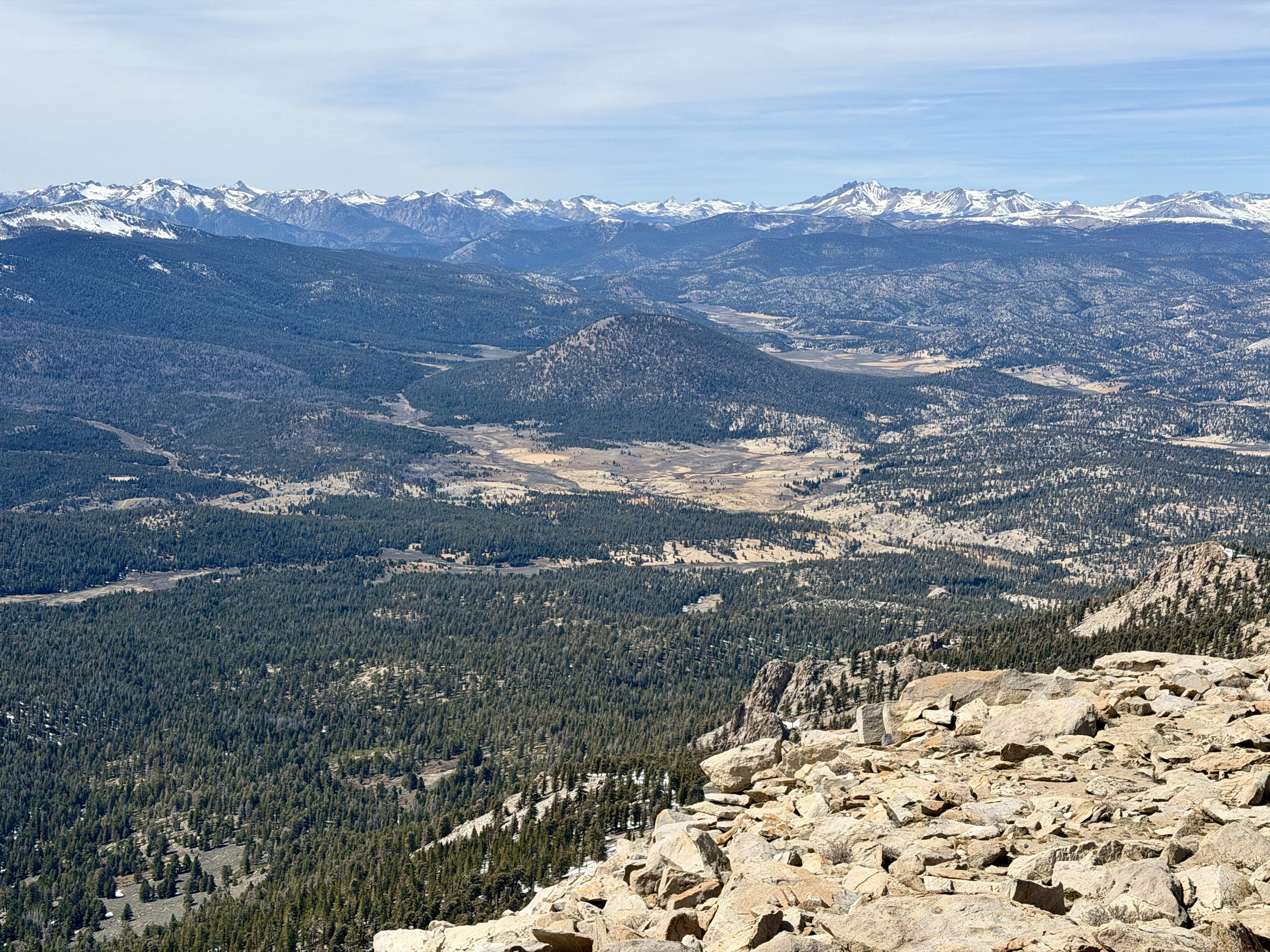
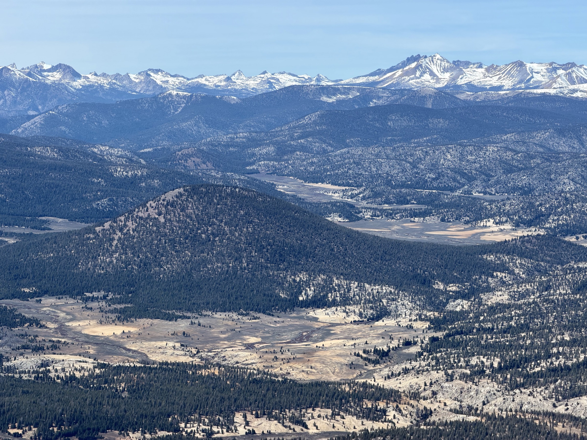
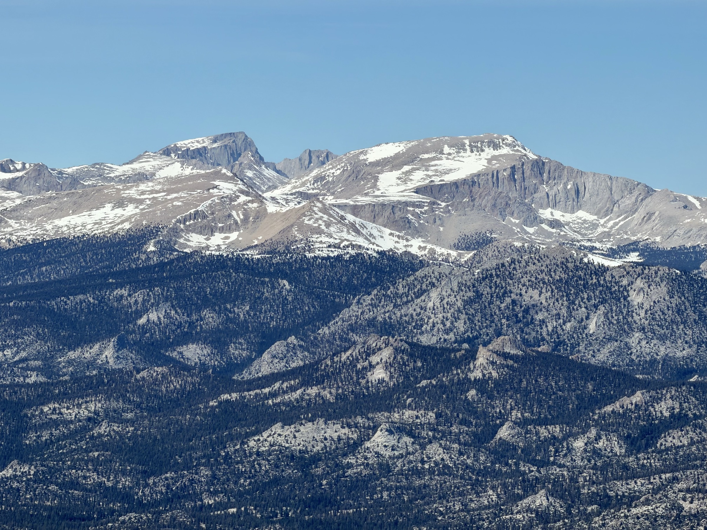
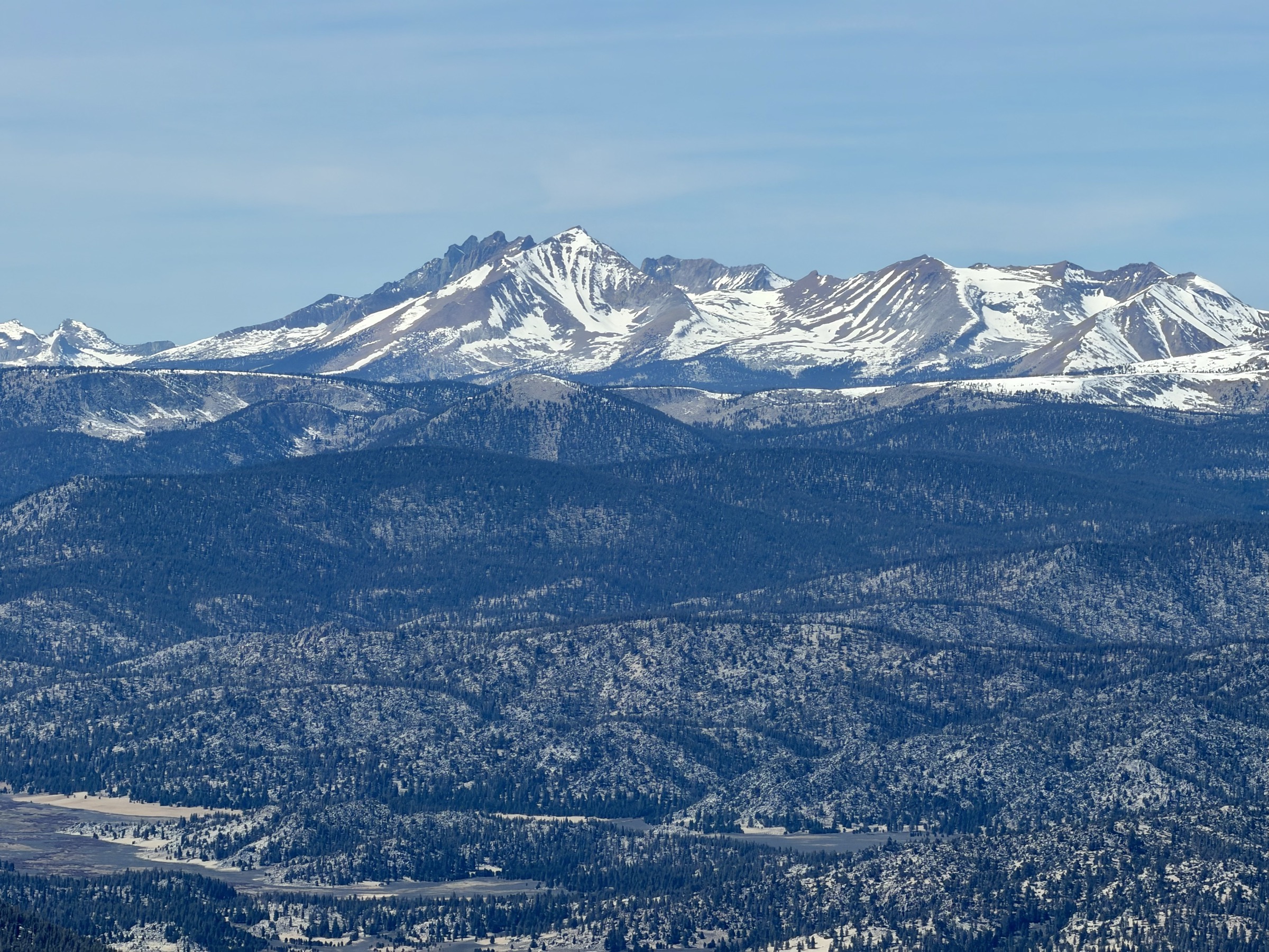
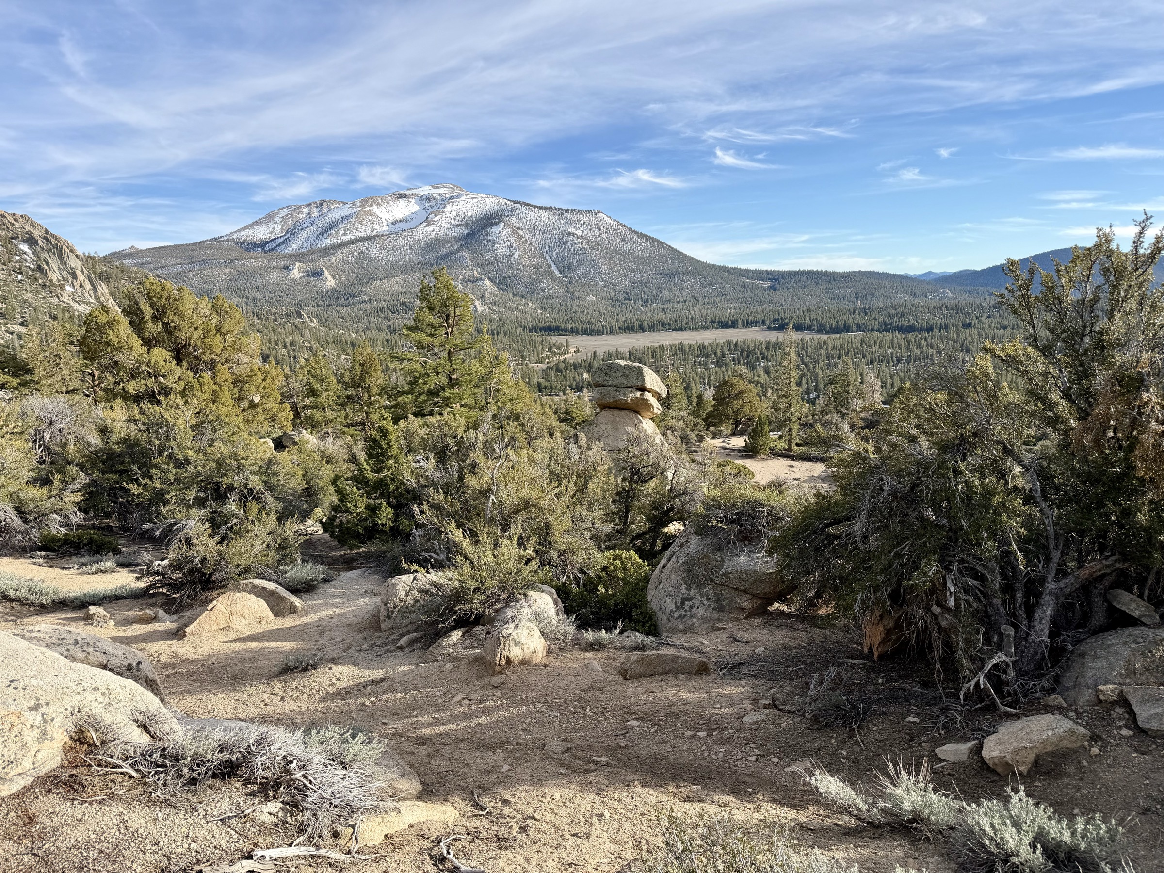
The summit rewards everything. Being so prominent — surrounded by meadows, the Owens Valley, and open sky — the views reach in every direction. South to the Sierra I came from. East to Owens Lake shimmering in the distance. West to a massive meadow valley with Templeton Peak anchoring the middle, and the high Sierra crest beyond. I rest and take it all in. The peak added a few hours and I know I'll be running late into the evening. But when I made the decision — summit or sleep — I didn't hesitate for a second.
But when I made the decision — summit or sleep — I didn't hesitate for a second.
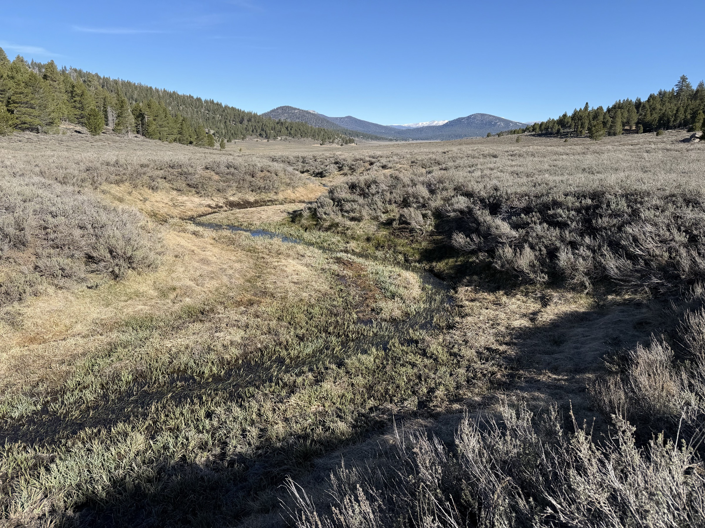
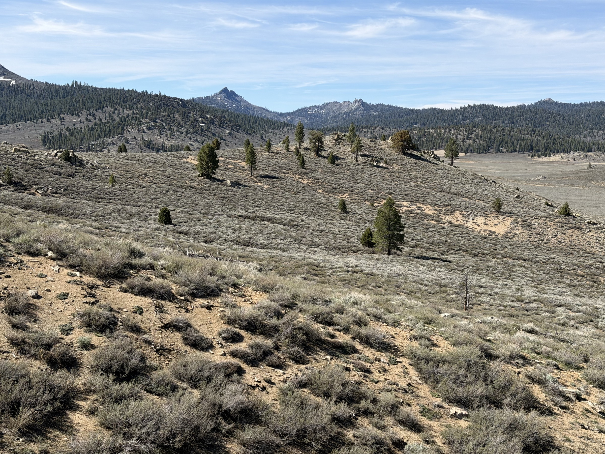
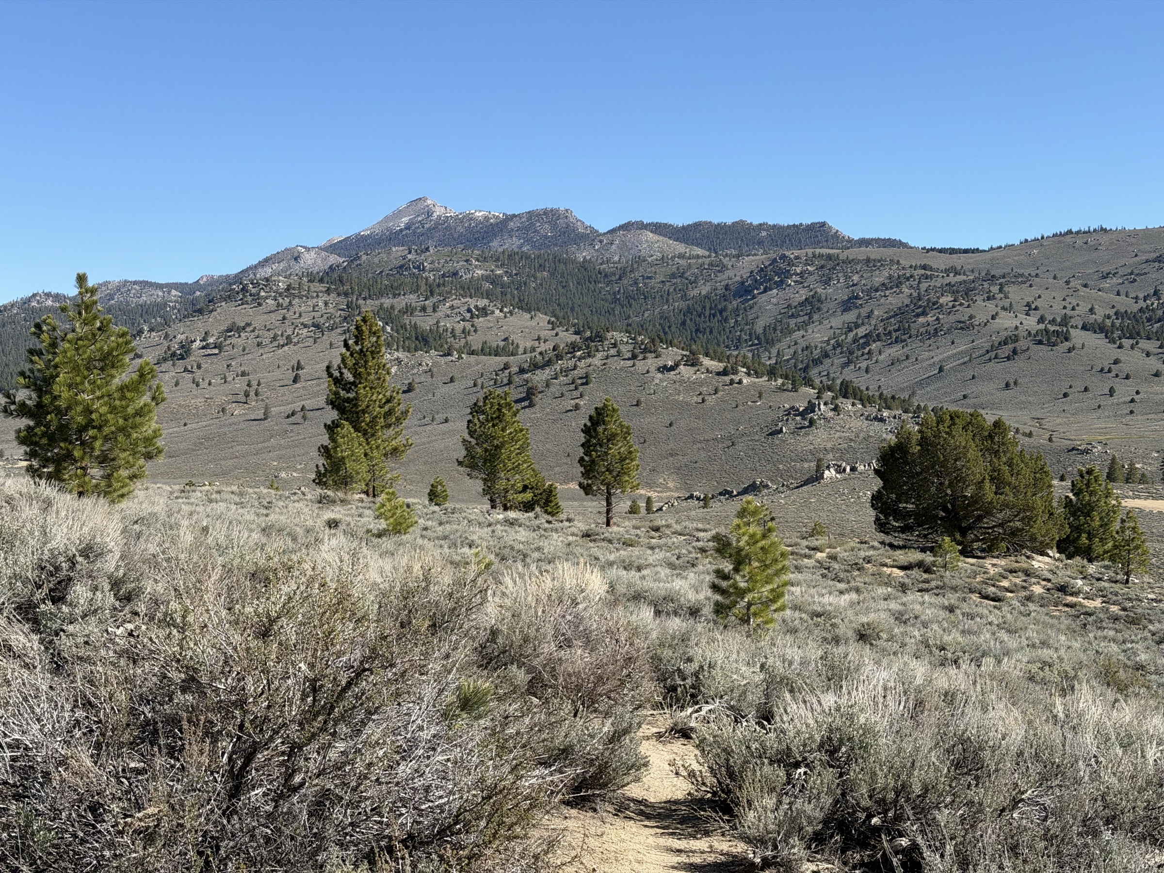
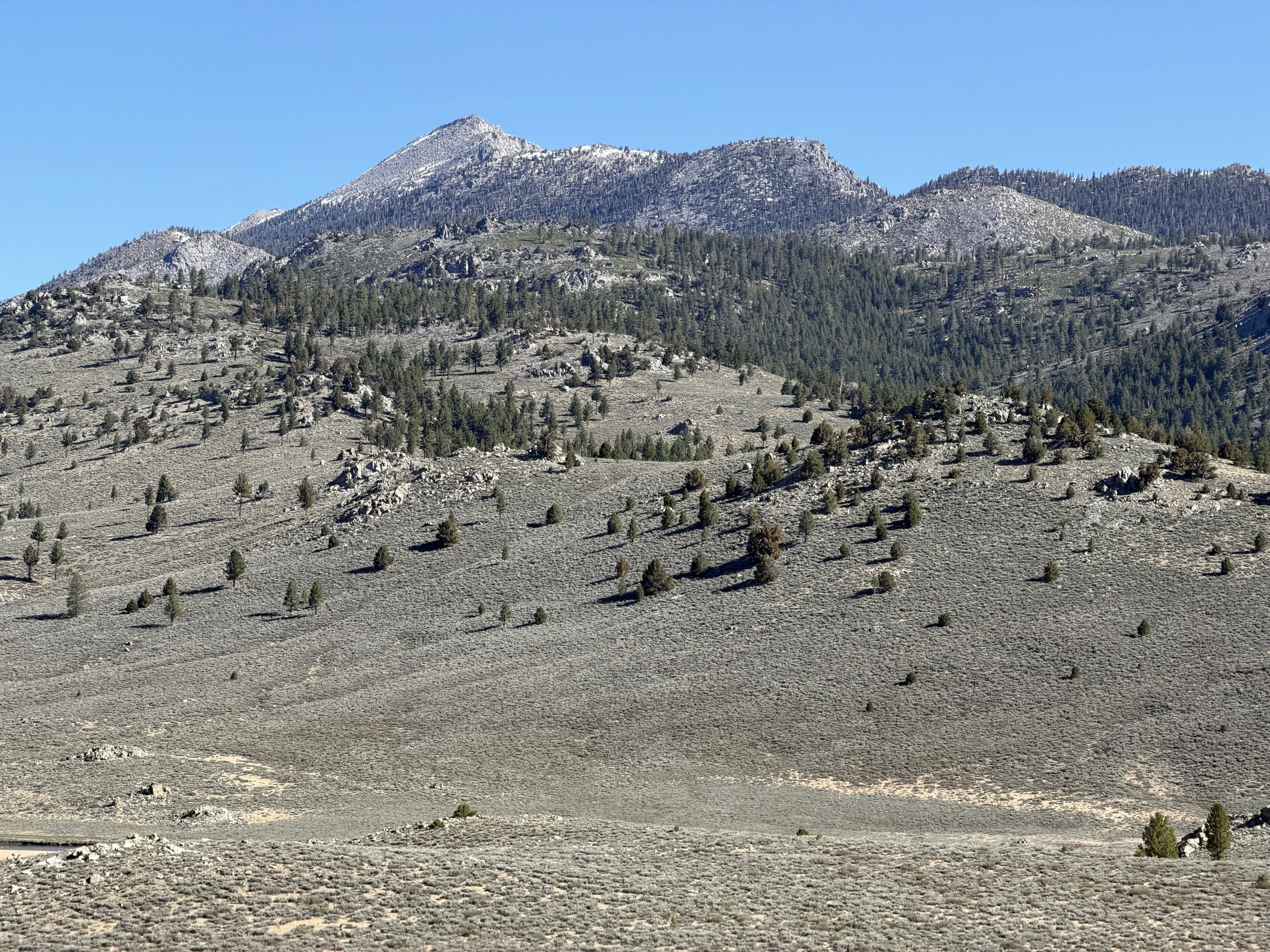
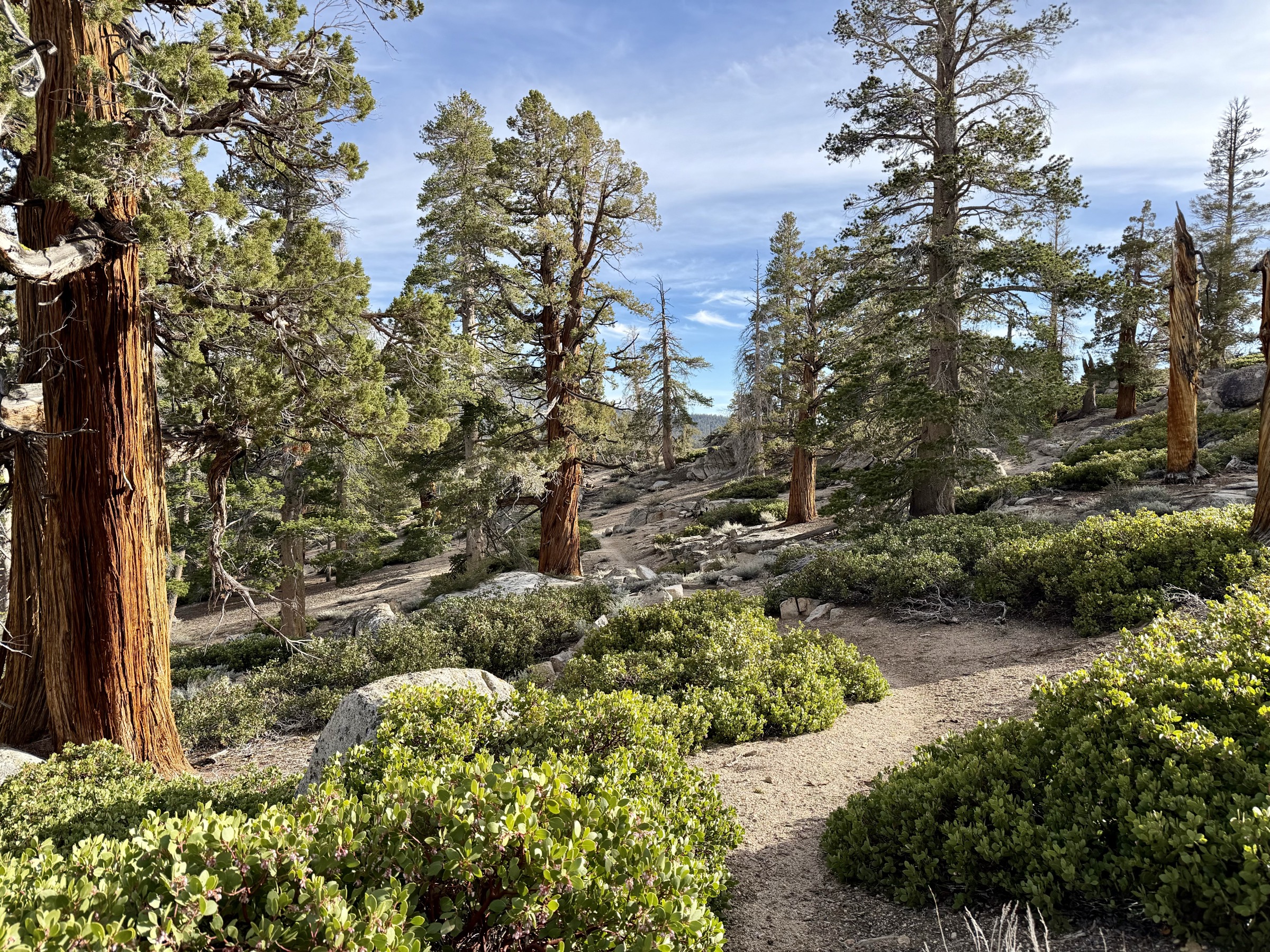
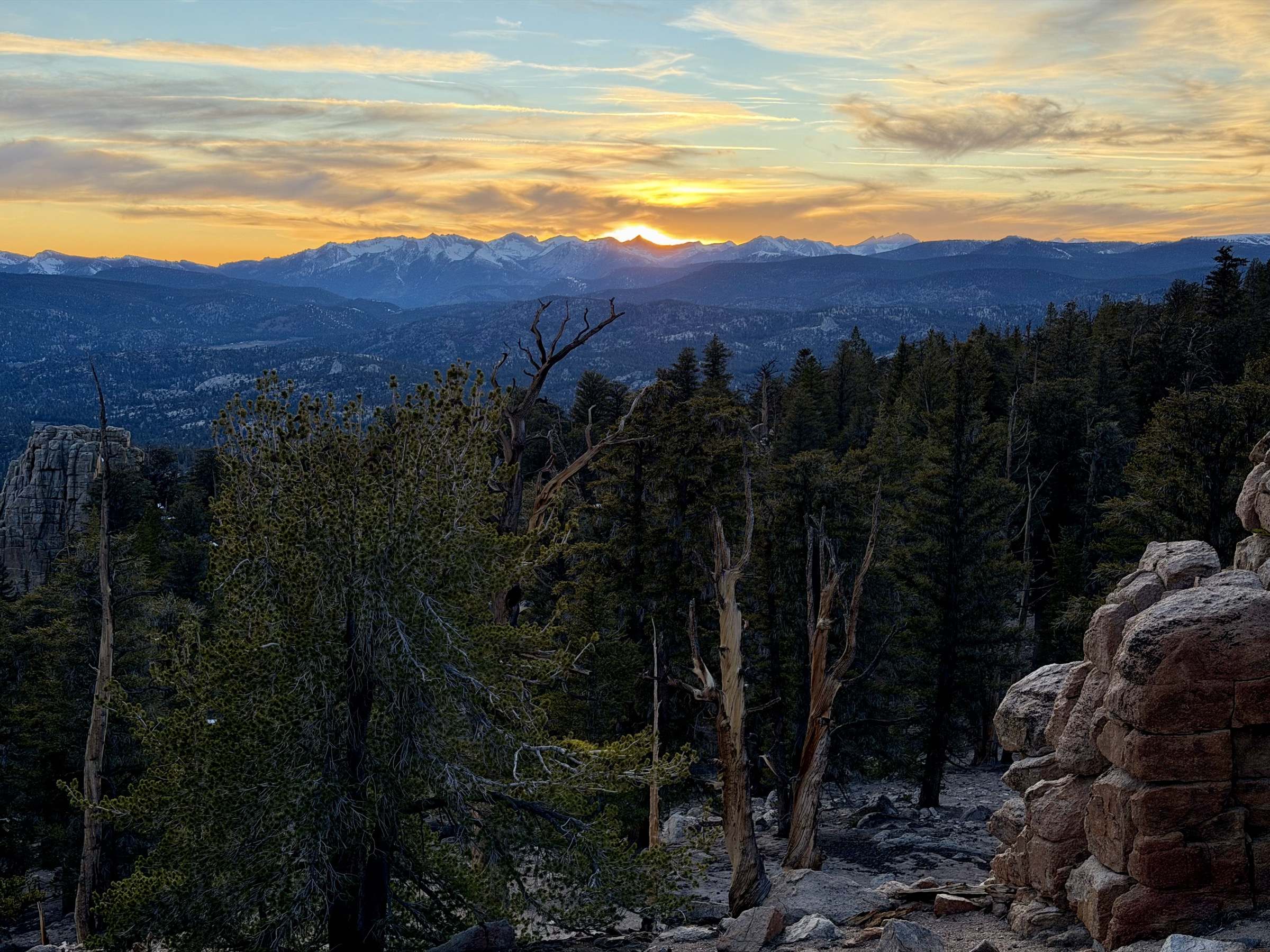
Descending back to the main trail, the route north is smooth again: meadows, forest, a rolling crest gaining toward Cottonwood Pass. North-facing slopes hold snow, solid ice underfoot, but not slippery enough to warrant microspikes. As the sun drops over Kings Canyon National Park, painting the western horizon, I still have ten miles to go. I expect an easy finish.
I have no idea what's coming.
Because Cottonwood Pass road is closed, I planned an alternate exit down Wormhole Canyon — a shorter descent to a different road. On the map it looks like a clean trail. It is not. The ridge walk is icy and snow-covered, the trail sometimes barely visible beneath the white, sometimes not visible at all. I move carefully, slower than I want to. Then the descent begins — and I discover there used to be a trail here. An avalanche swept it away years ago. What remains is steep, loose, alternately dusty and icy terrain that reduces me to a crawl. On a clear snow-free day you could glissade the sandy slope in minutes. Tonight it takes an eternity.
Below the avalanche debris, three miles of social trail remain. Except the bushes have completely overtaken it, grabbing at legs and slowing every stride. I push through. Finally I reach the road — and a satellite message is waiting. My pickup is miles away. The road is closed further than expected. Three more miles.
I set off on the road with Cottonwood Creek roaring alongside me, wild and fast with snowmelt. Then the road ends. The bridge is gone — swept away. I study the crossing. The water is swift, dropping steeply downstream. I wade in a few steps and back out quickly. Not crossable. I start scouting the banks, headlamp cutting the dark, looking for any alternative. And then — there it is. A pedestrian bridge, tucked out of sight, invisible until you're right on it. Relief floods through me. I cross, find the road, and run the final miles out in the dark.
It was a long day. Cold, complicated and occasionally scary. But I felt in flow for most of it, and the terrain — even the brutal parts — just pulled me forward. A great day in the mountains. The kind you don't forget.