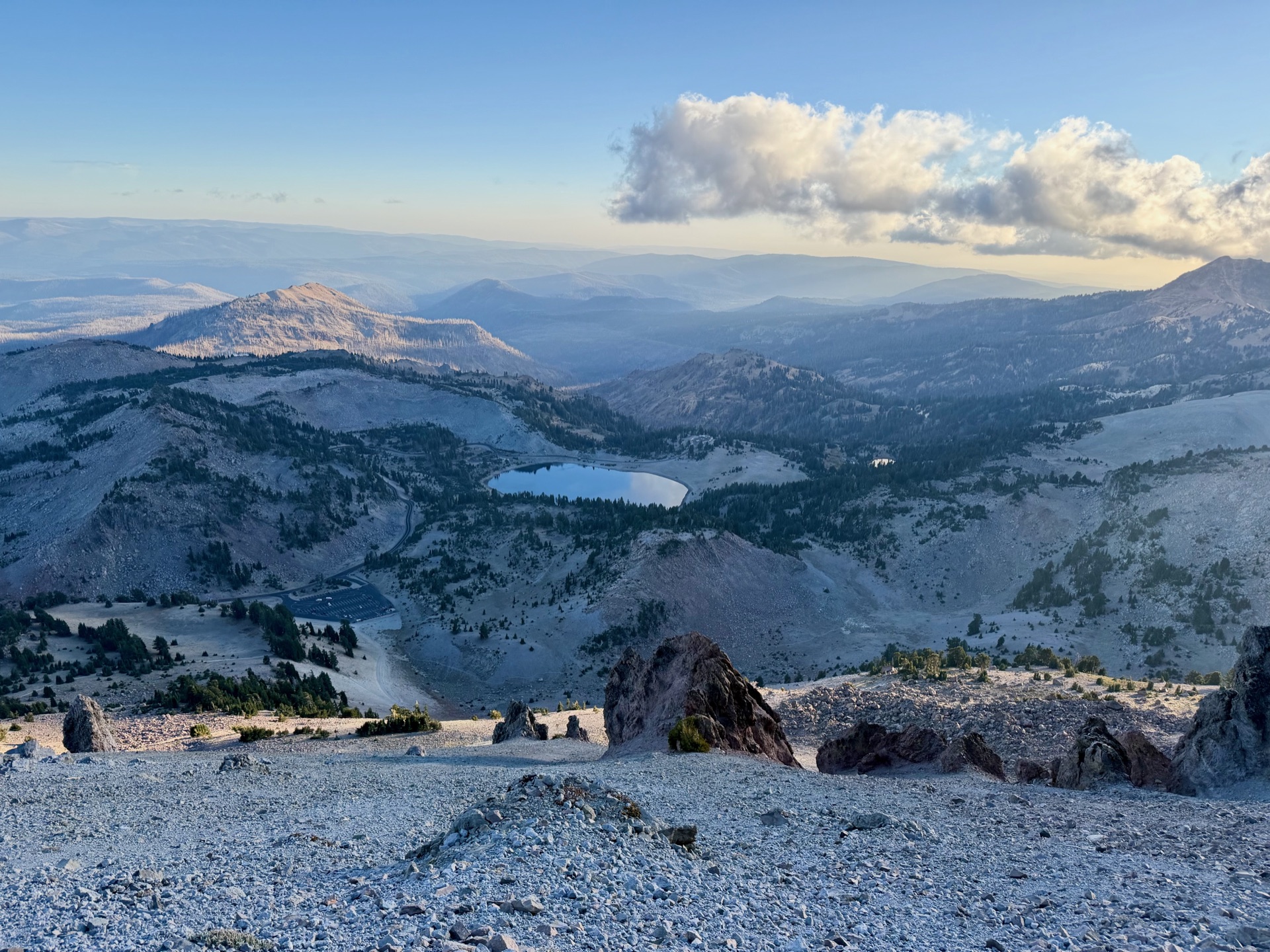
We had just attended a Halloween party, and drove to the northernmost trail: Lassen Extravaganza. I felt it was fitting to connect the Sierra to the Cascades, where one range hands off to spectacular terrain of volcanoes, geysers and boiling lakes. And to experience it properly, I would meander to those great sights.
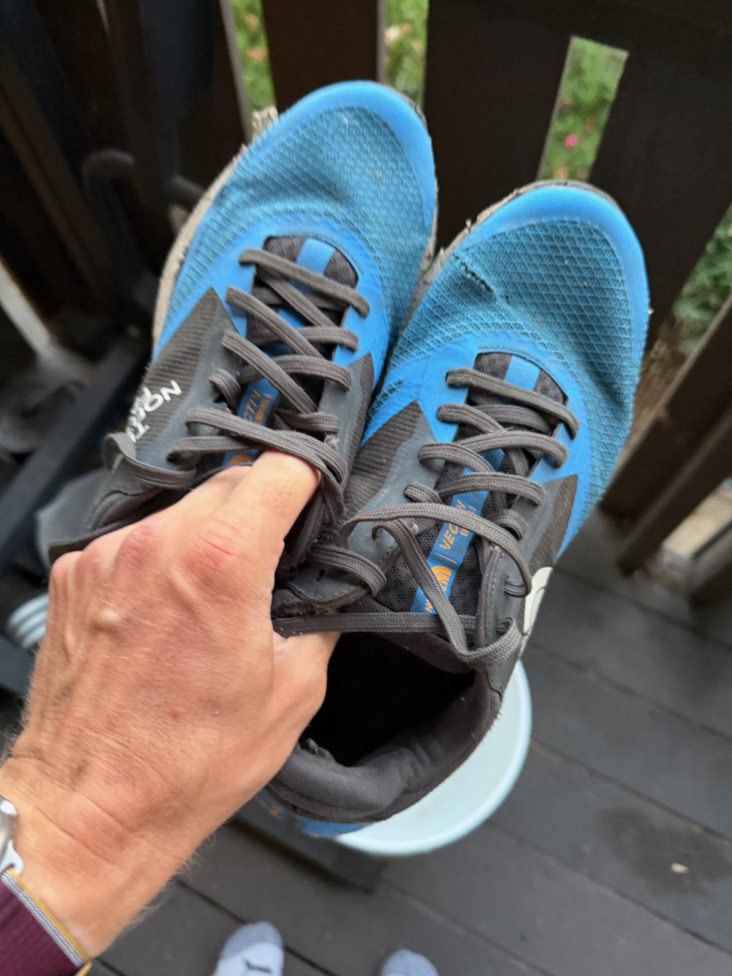
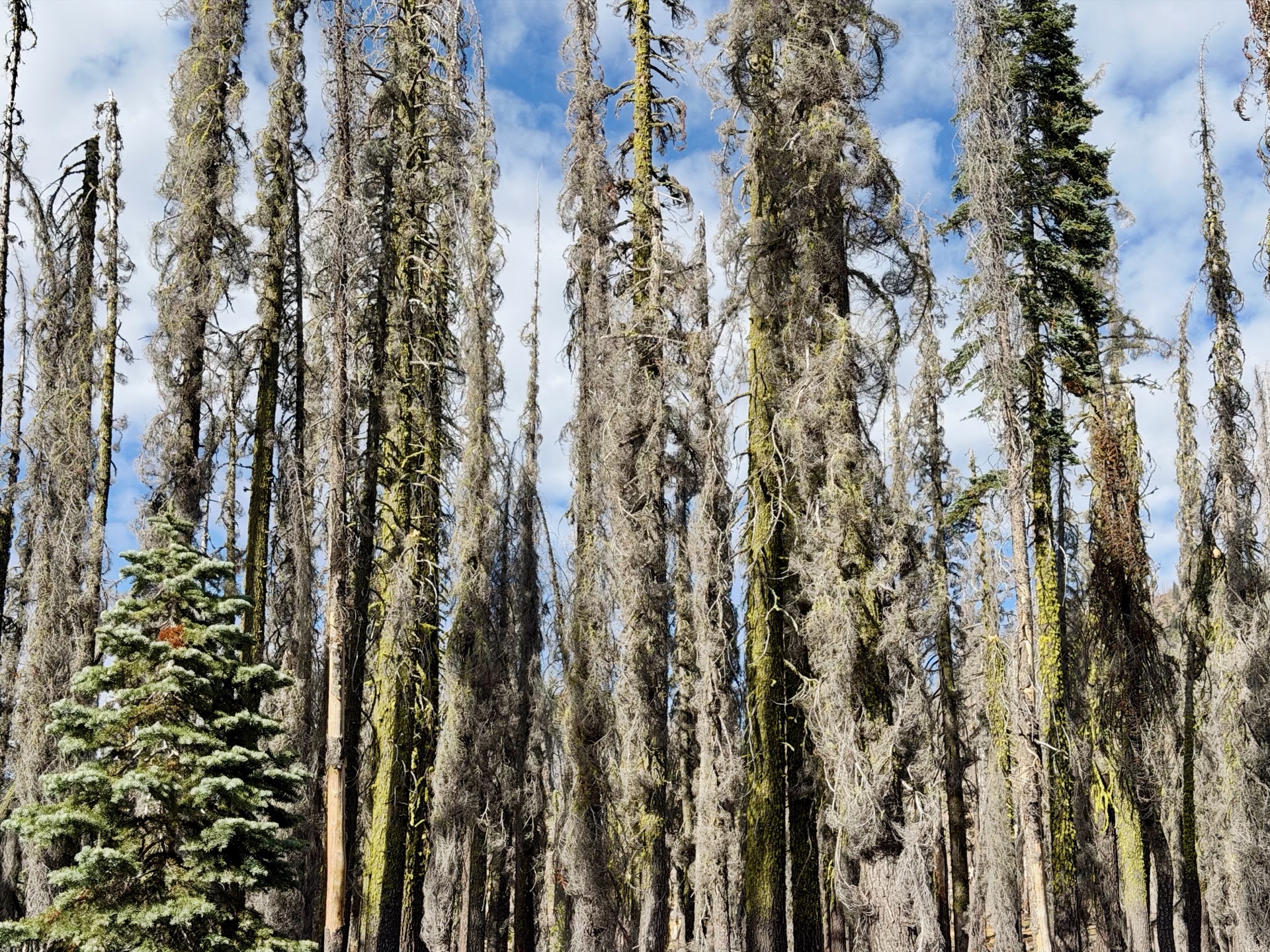
I started my run right after arrival, as I knew it would be a miserable night. A PCT hiker warned me that the trail was overgrown with what hikers call devil’s thorn, all that remains of a forest devastated by the Dixie Fire, one of the largest in California’s history. For the first time I put on long pants (extremely helpful) and some old beat-up shoes (sharp volcanic rocks have shredded my soles before). The night was mostly just going ahead on a burned trail.
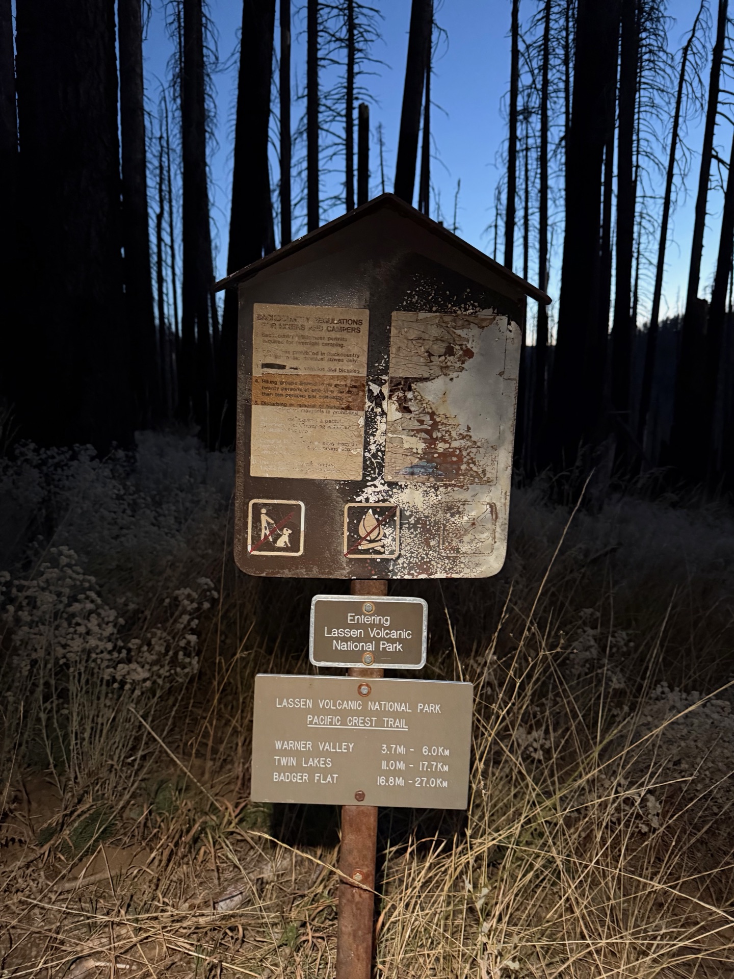
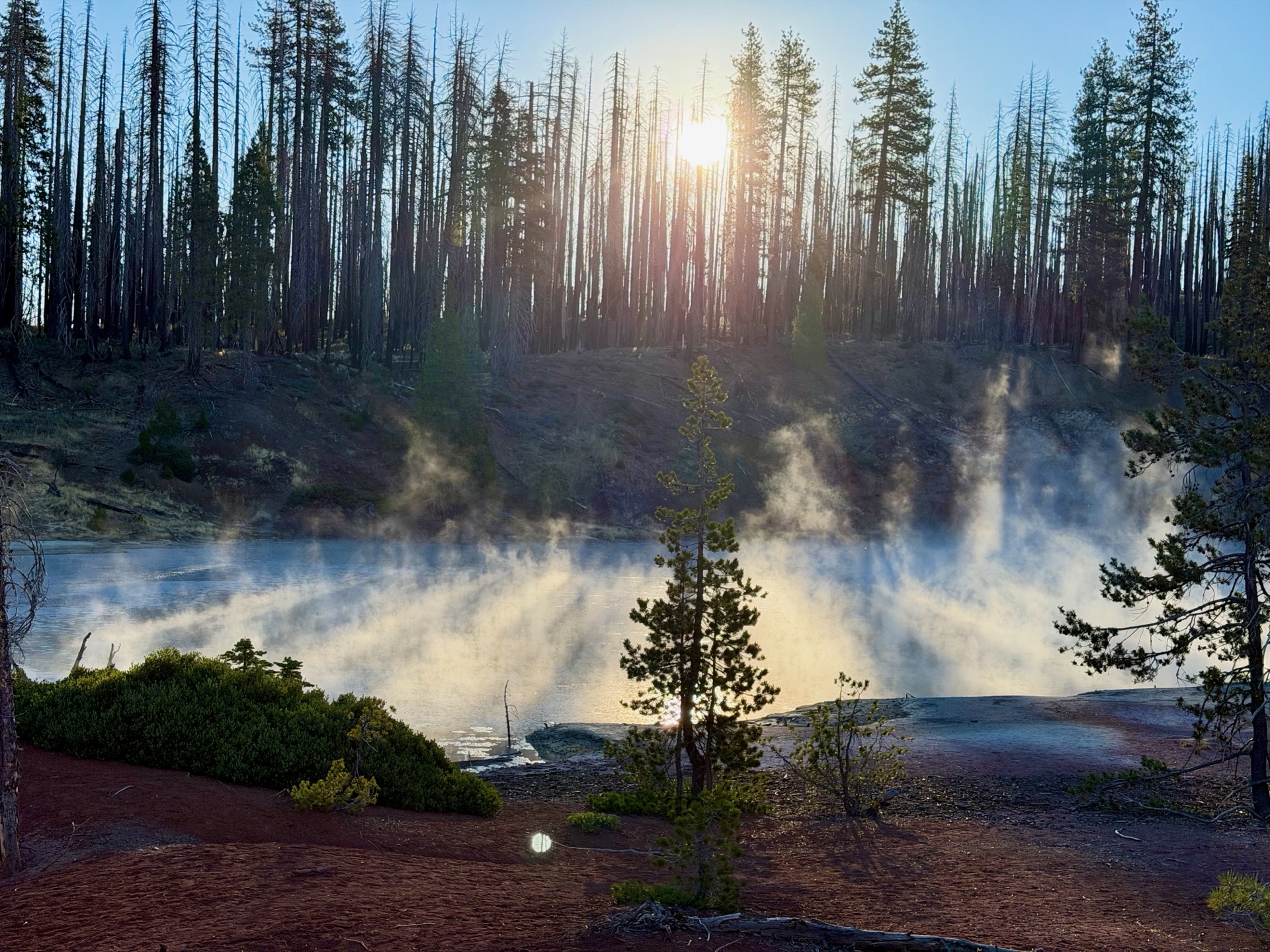
As the sun came out, I saw what looked like a fire: smoke rising in the forest. Not panicking, I checked my map, and it turned out that a short detour away was Terminal Geyser. Clouds of vapor were coming off the geyser, a really fascinating sign of active geology under my feet. The next stop was even more spectacular: Boiling Springs Lake. The rising sun illuminated the steaming lake, creating an enchanting sight of heat and energy at play.
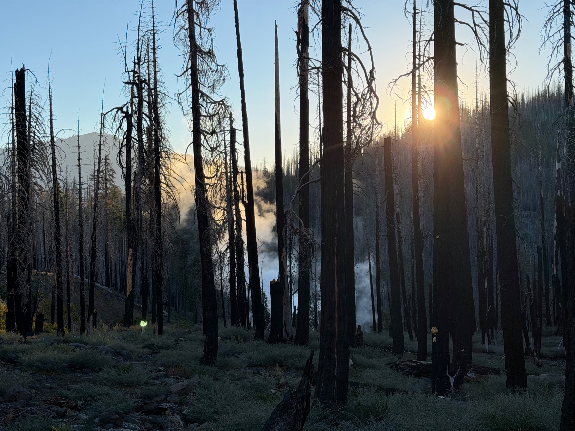
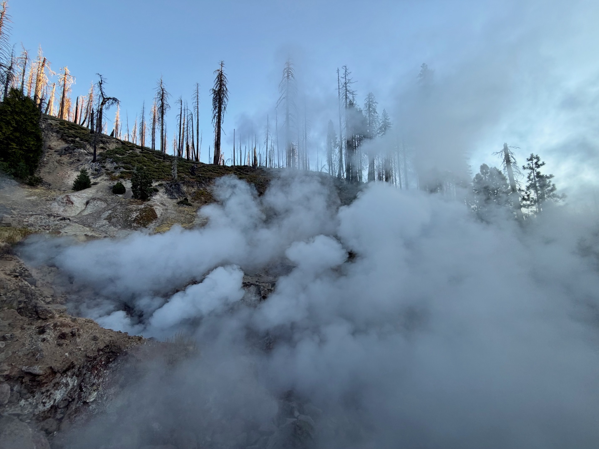
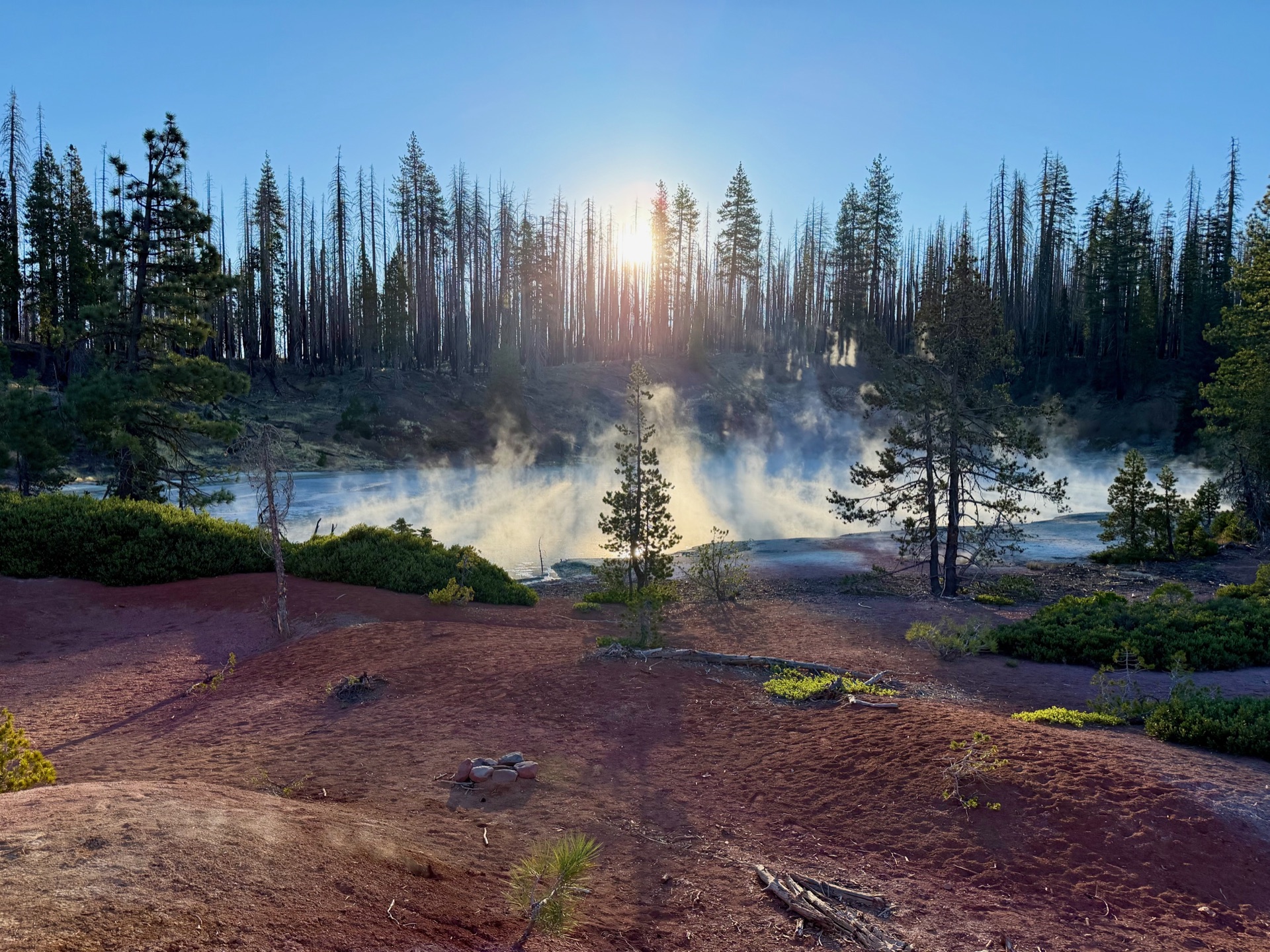
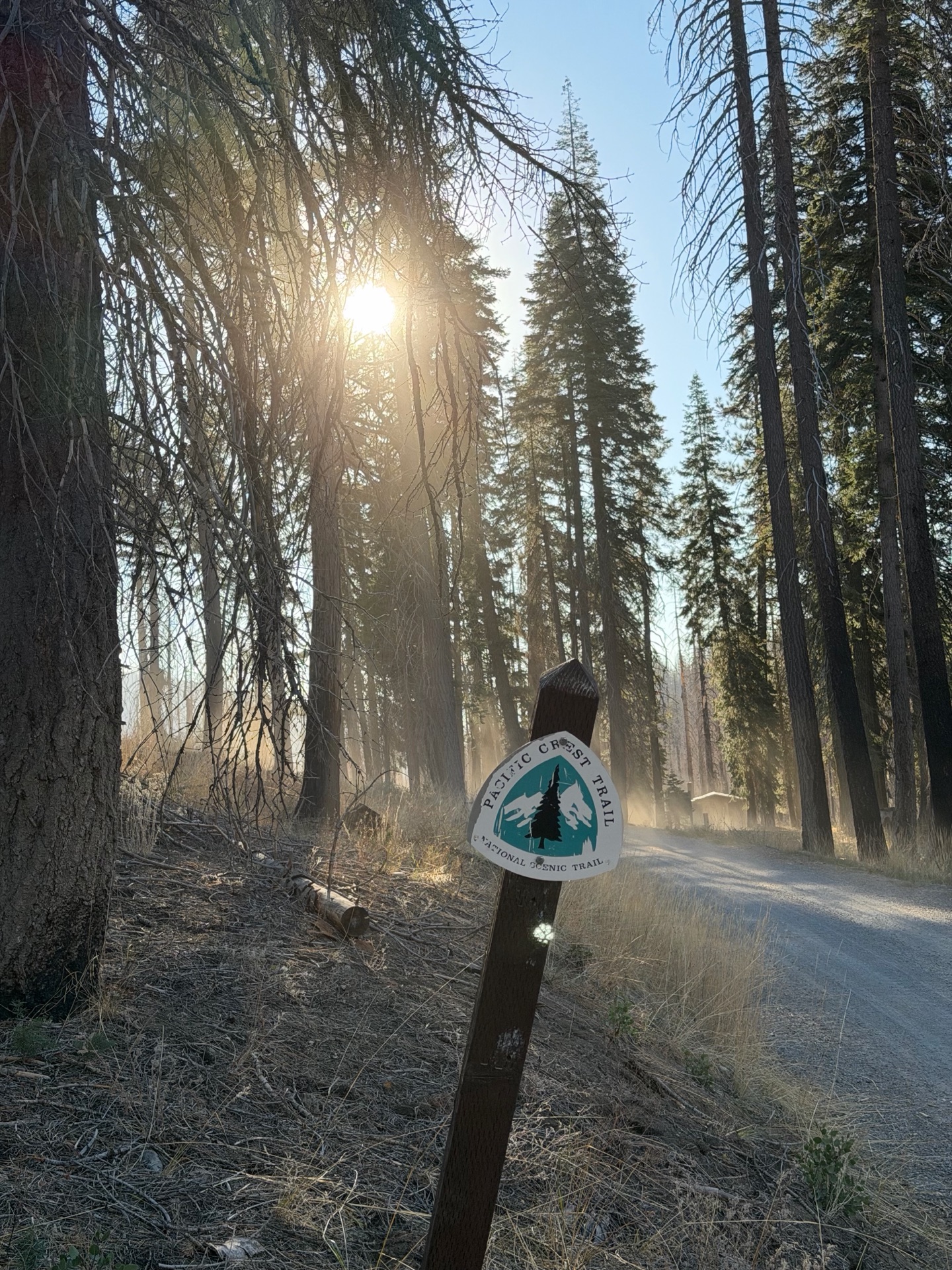
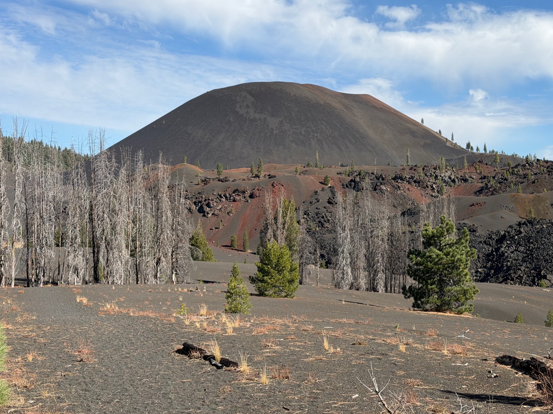
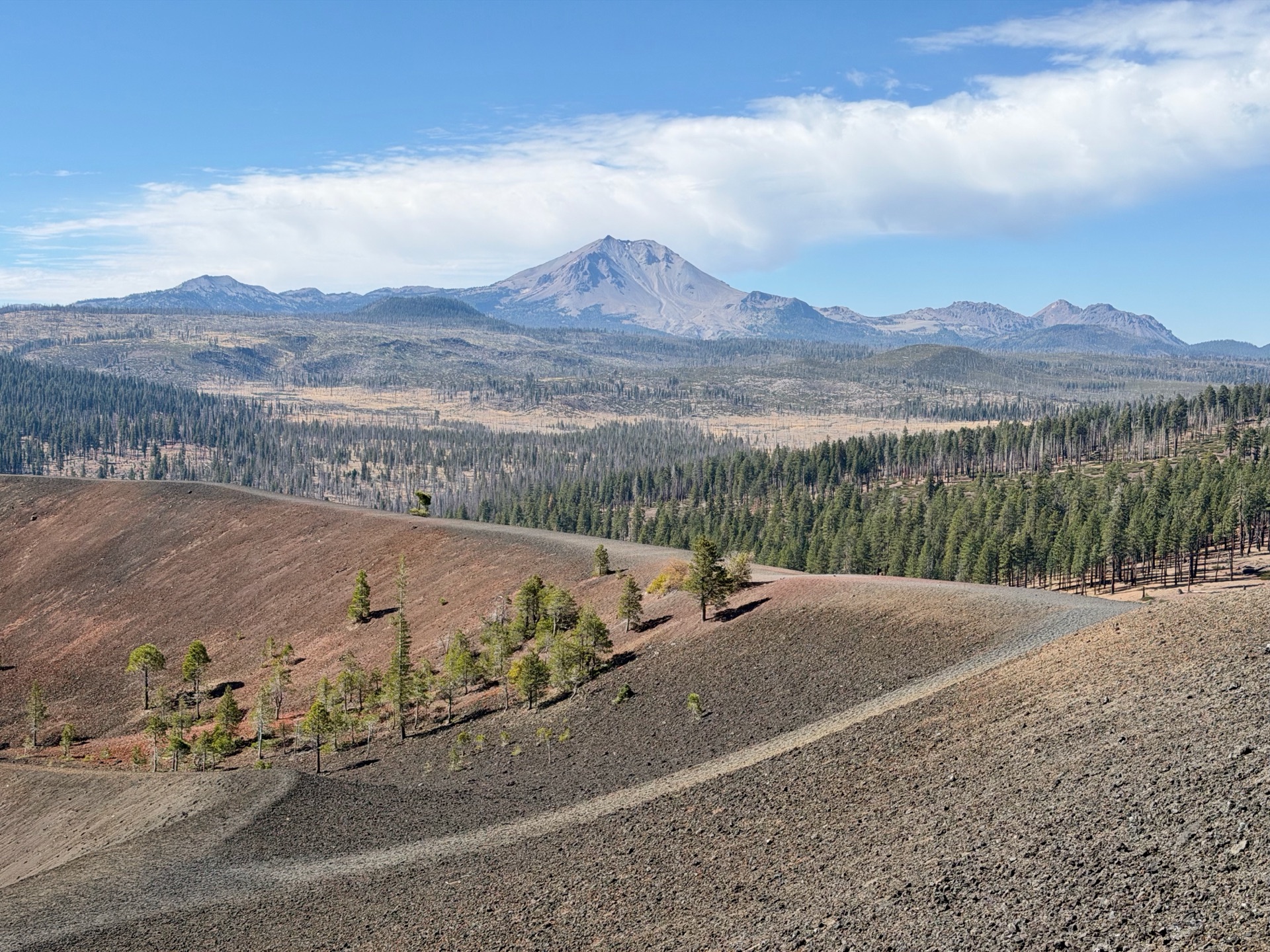
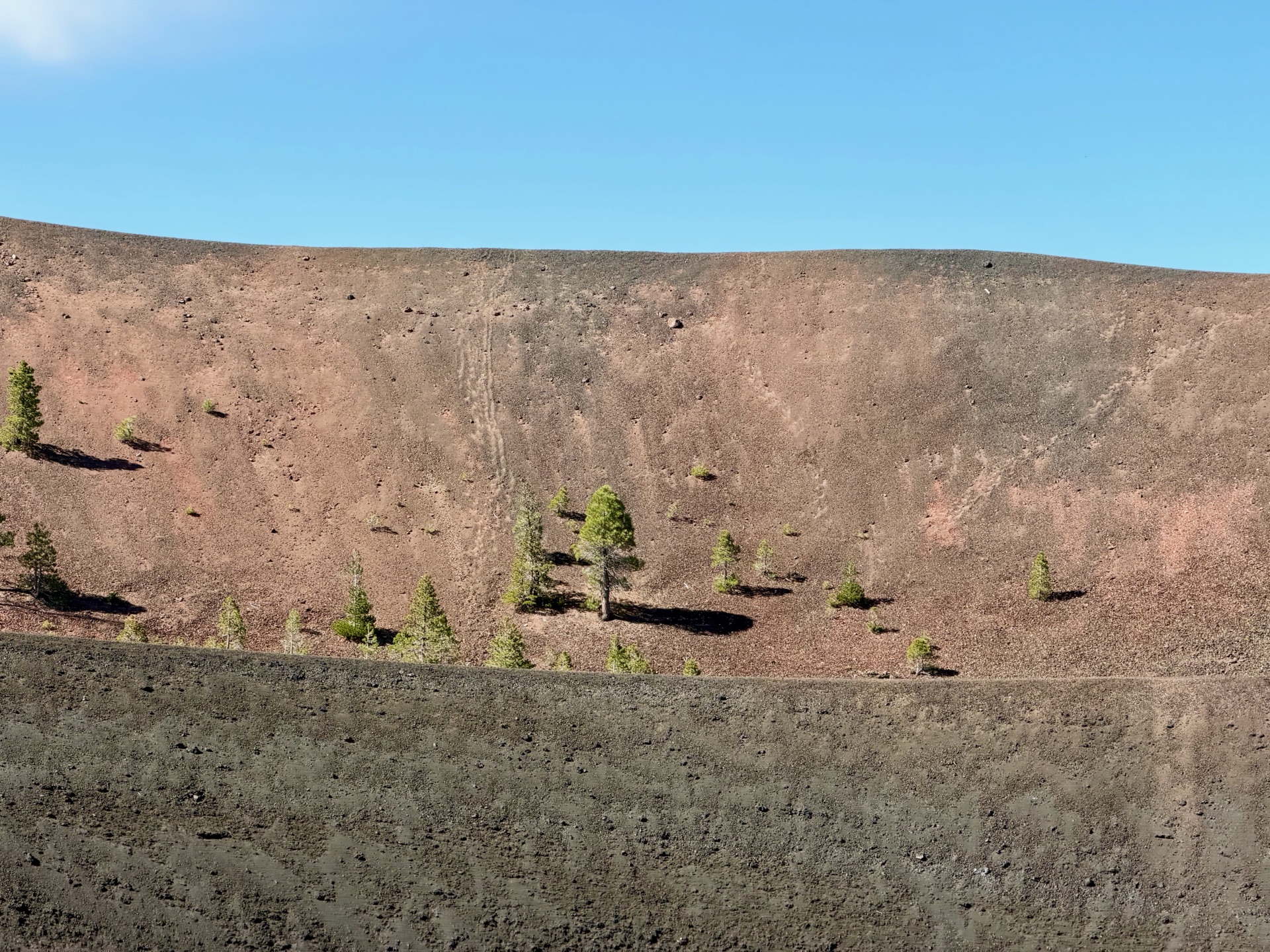
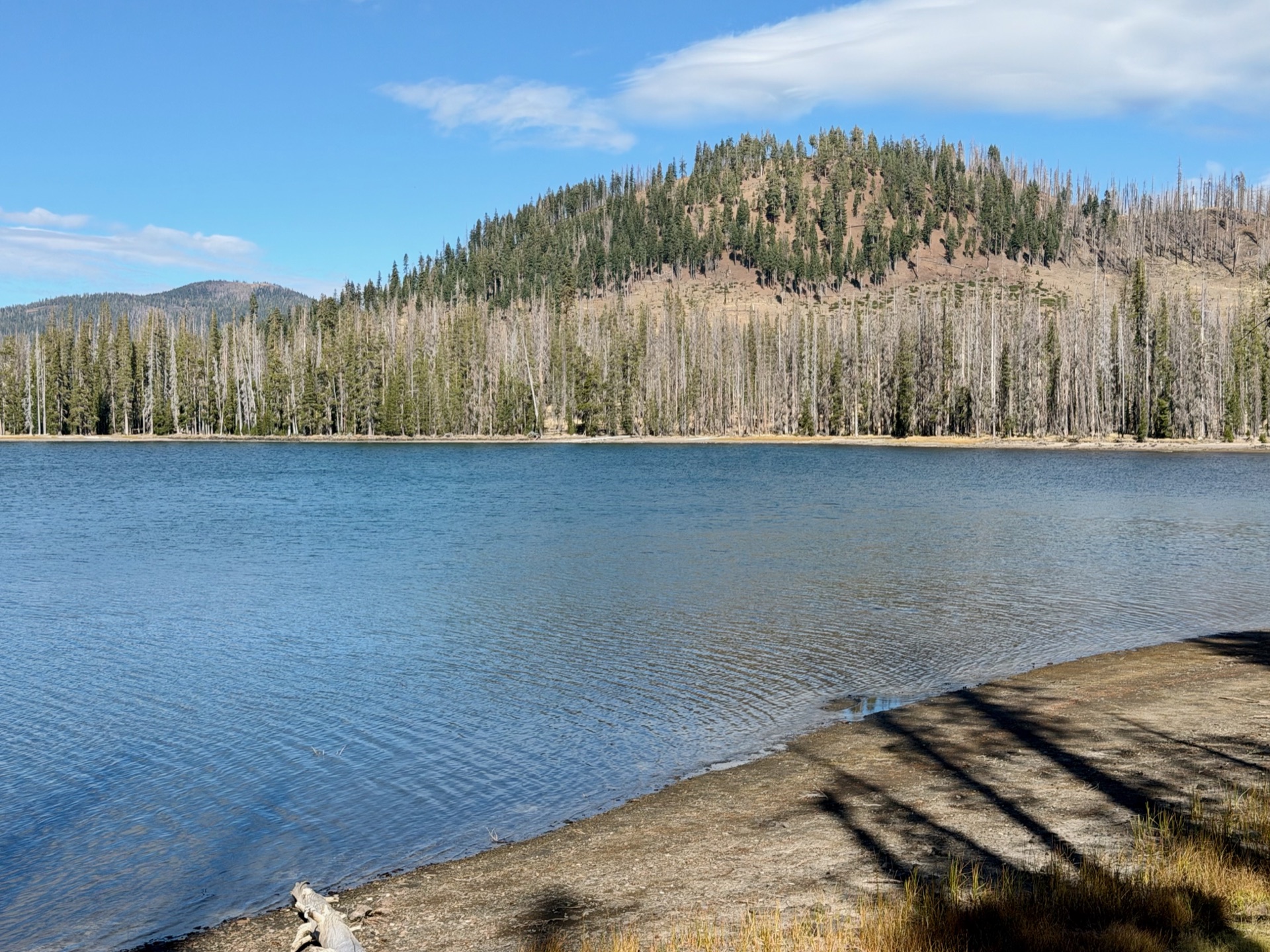
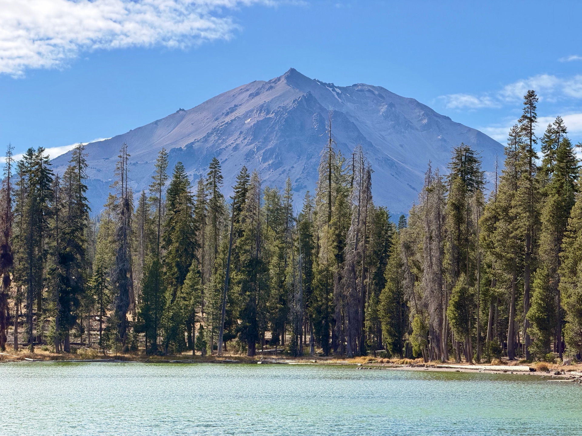
I was firmly in Lassen Volcanic National Park. The trails were well maintained, but I was surrounded by devastated terrain. What would have been lush, forested lakeshores were now littered with dead snags. However, this terrain had been devastated over and over: now I entered the area ravaged by the Cinder Cone eruption in the mid-17th century. The terrain was barren, with just a few trees slowly recolonizing the eruption area. Cinder Cone came into view, and so did Lassen Peak, two landmarks in different parts of the park.
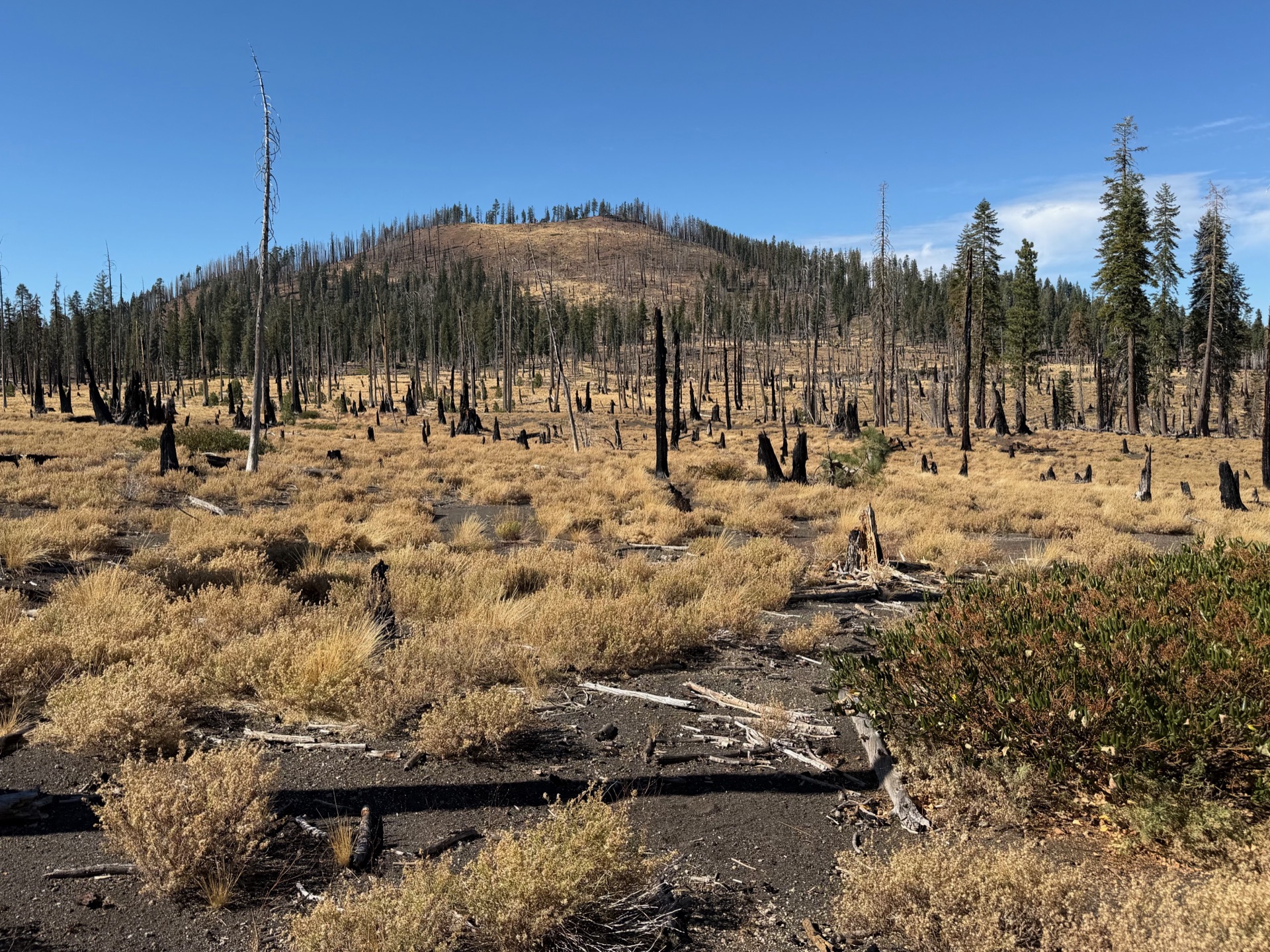
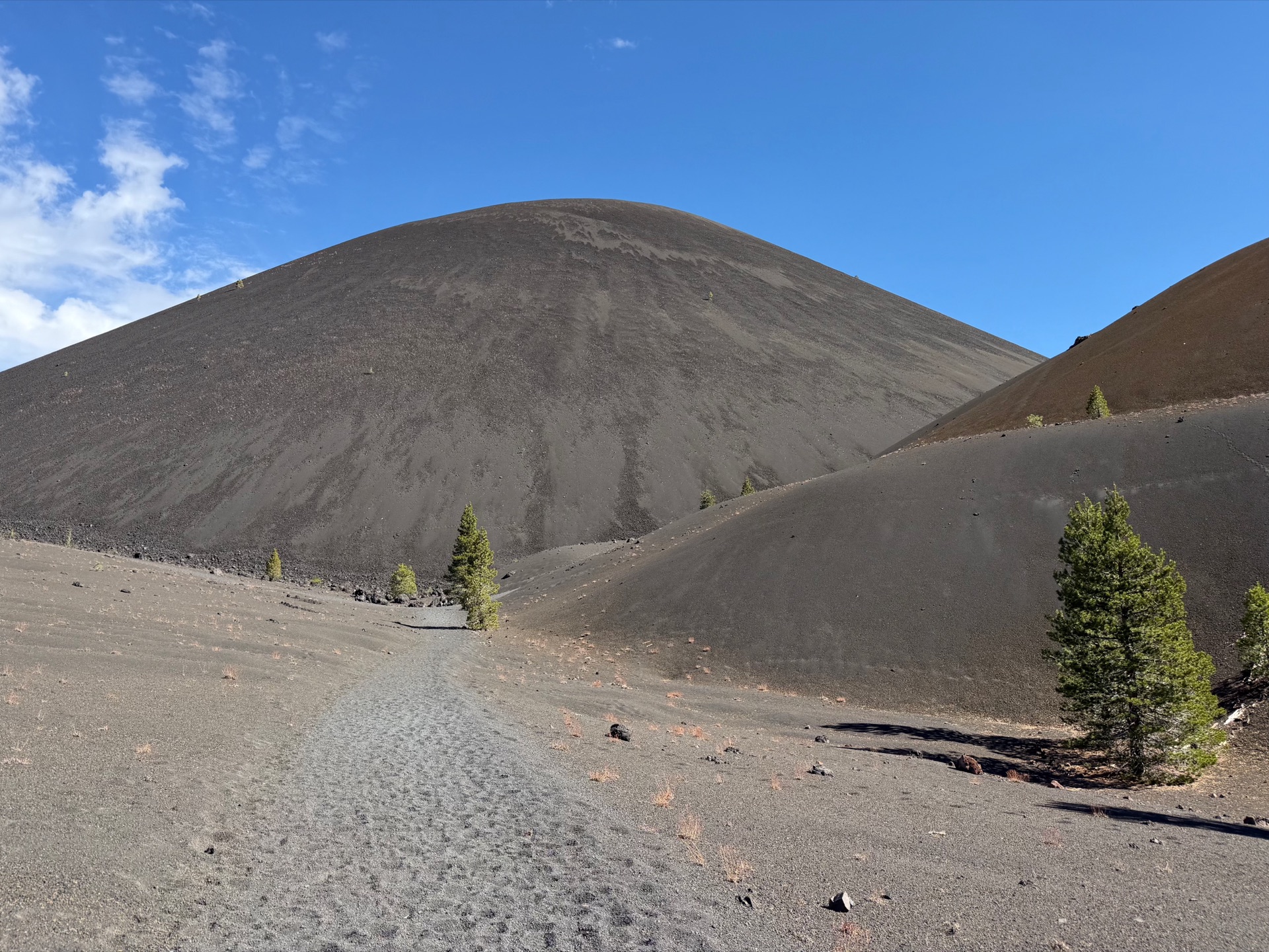
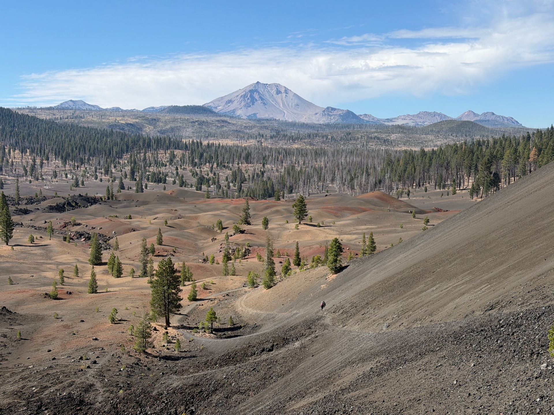
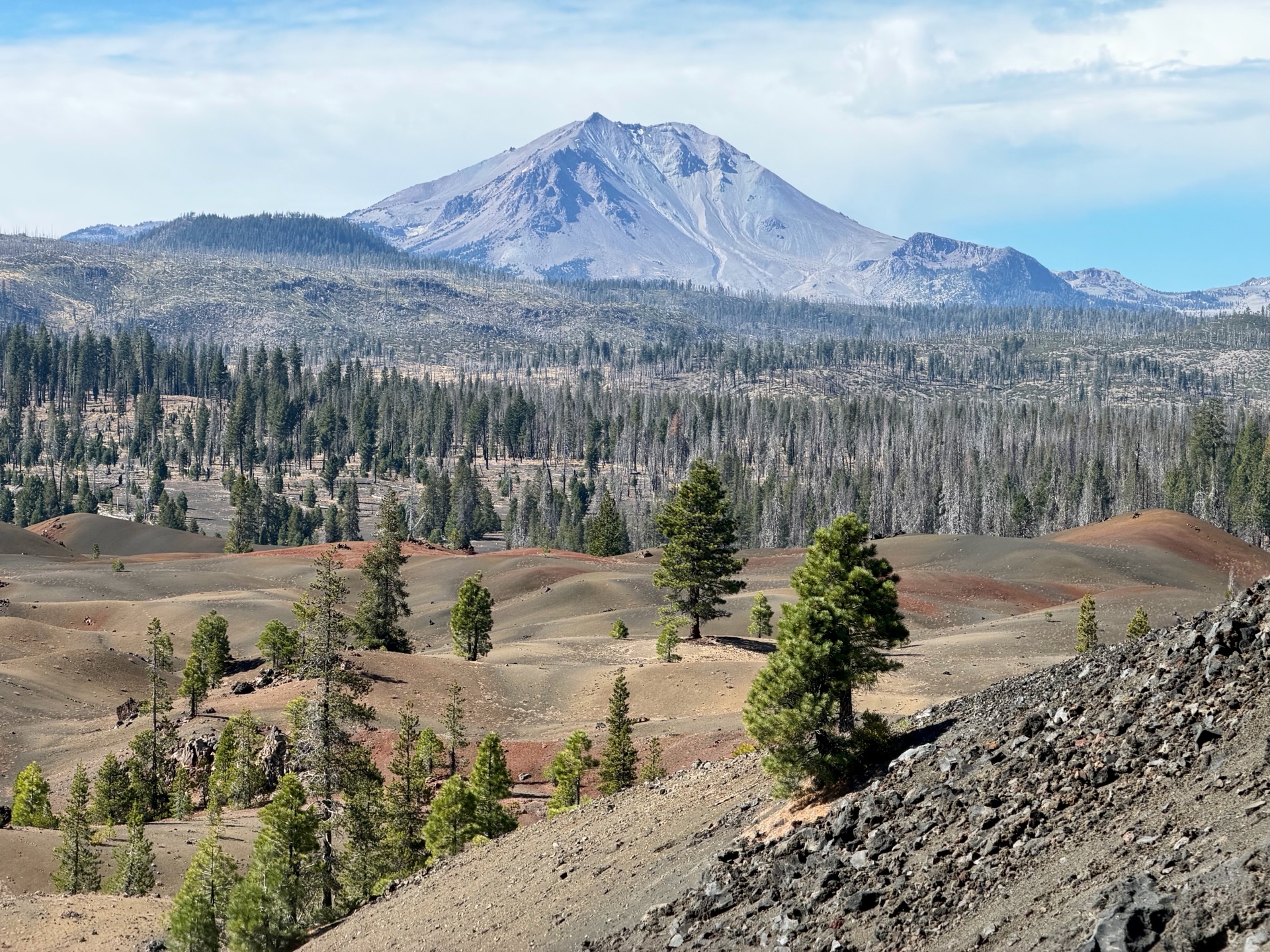
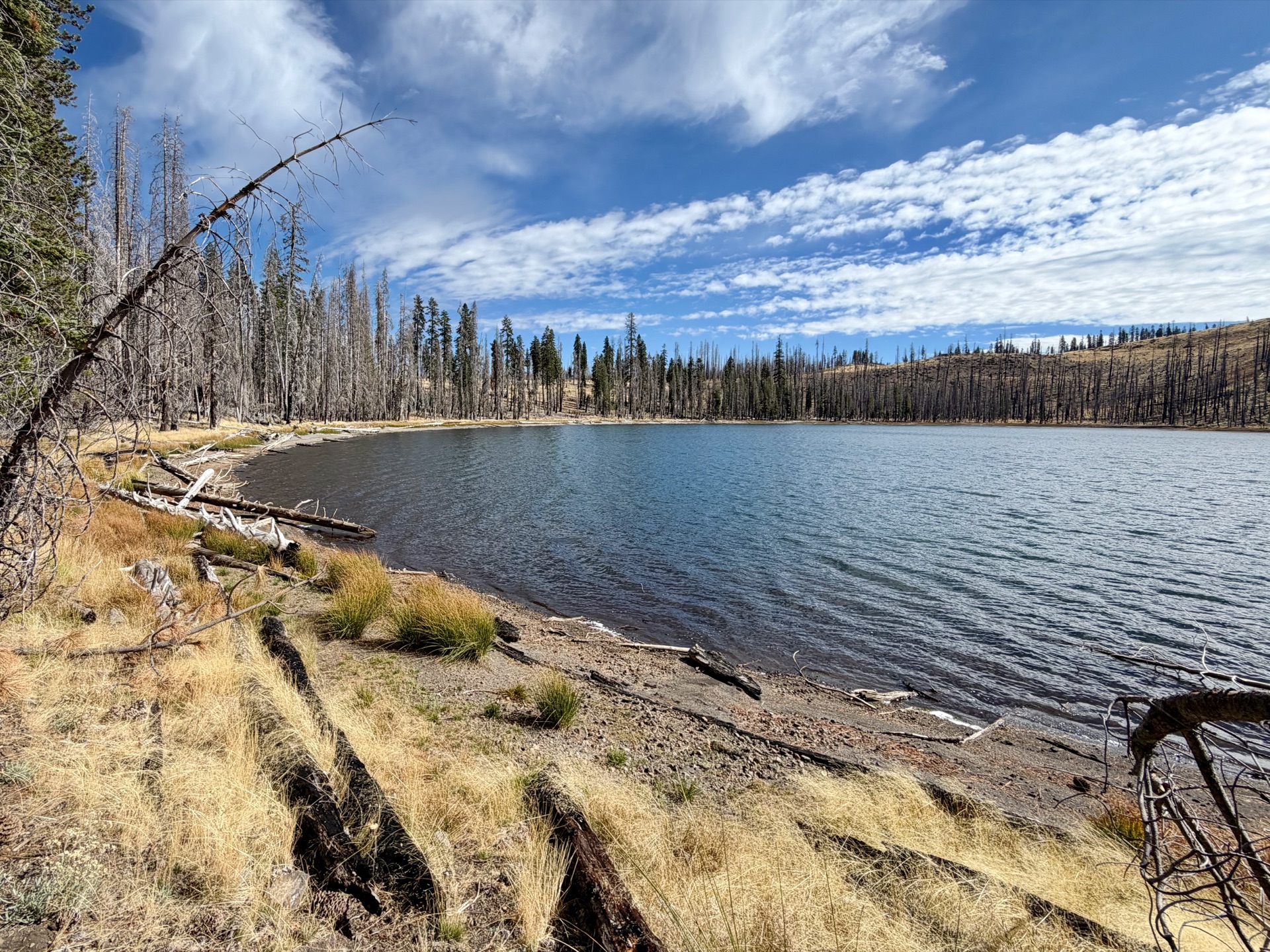
What would have been lush, forested lakeshores were now littered with dead snags.
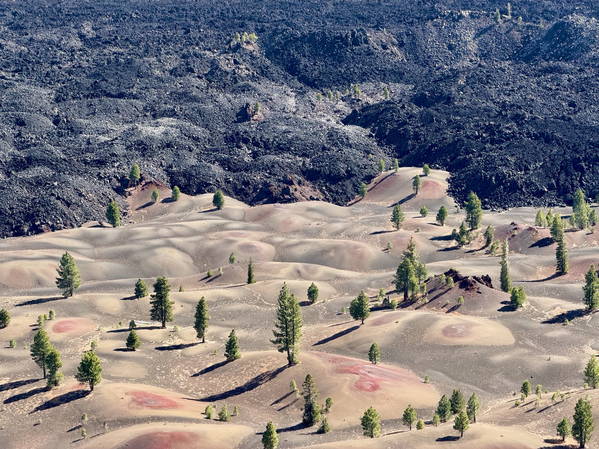
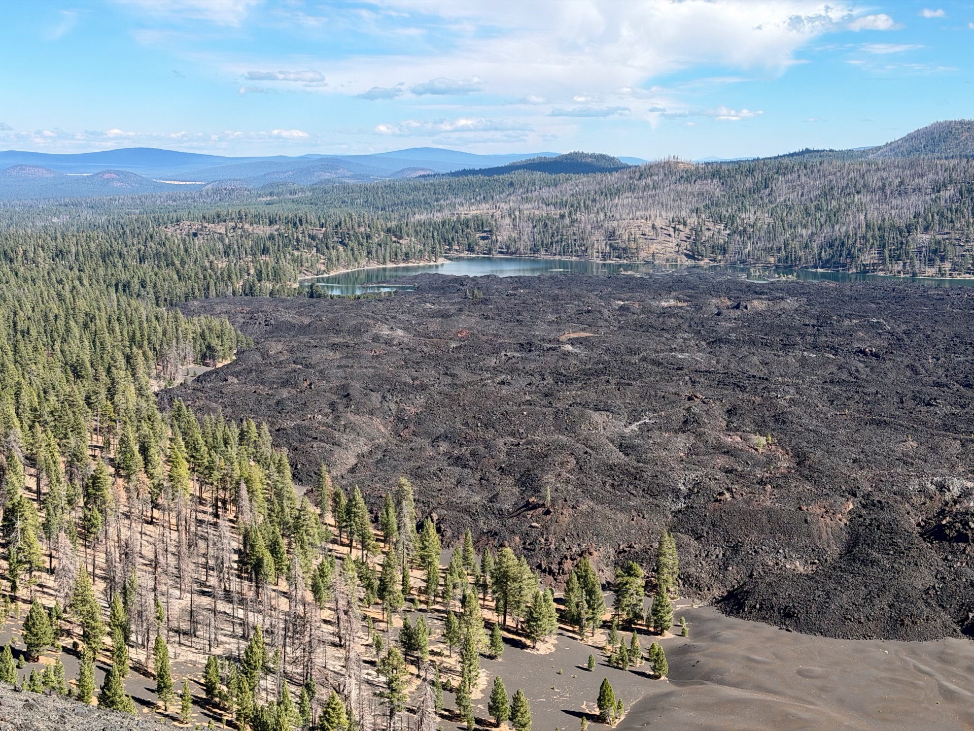
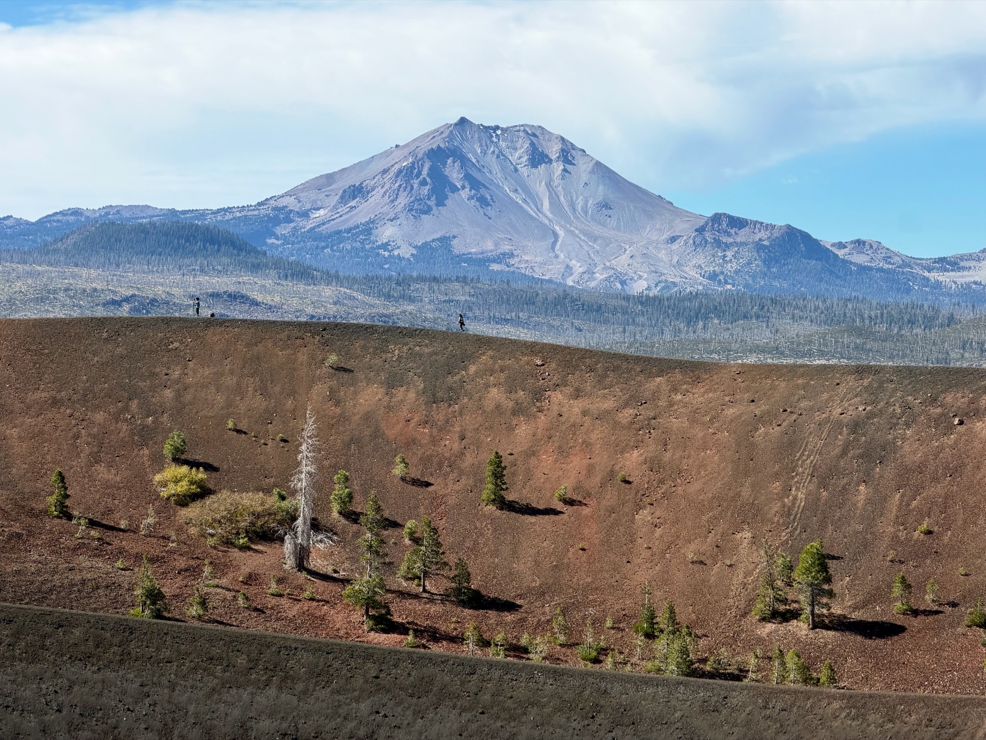
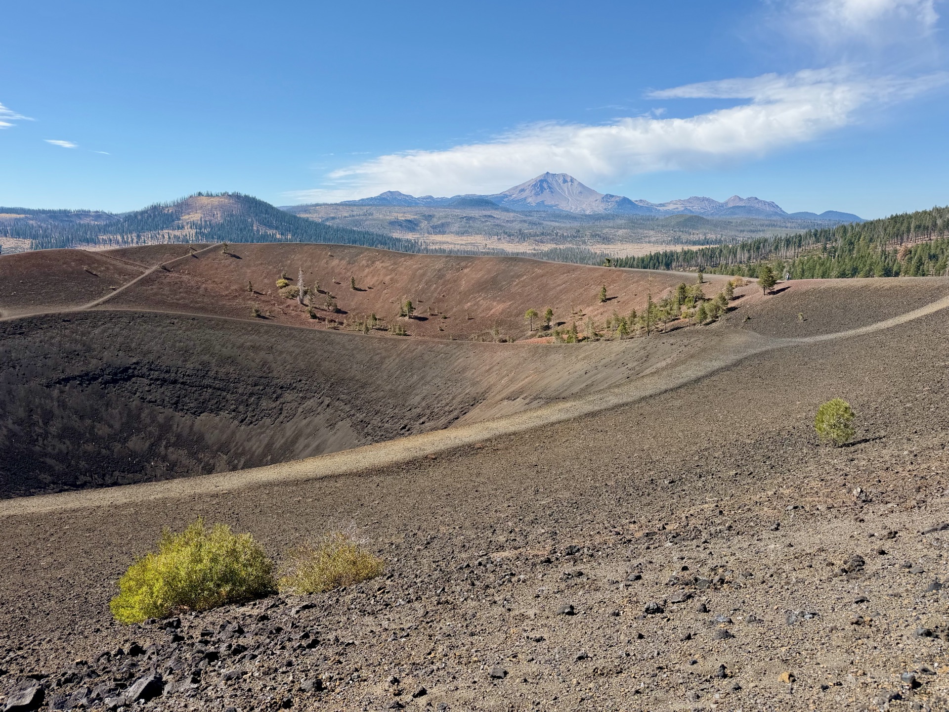
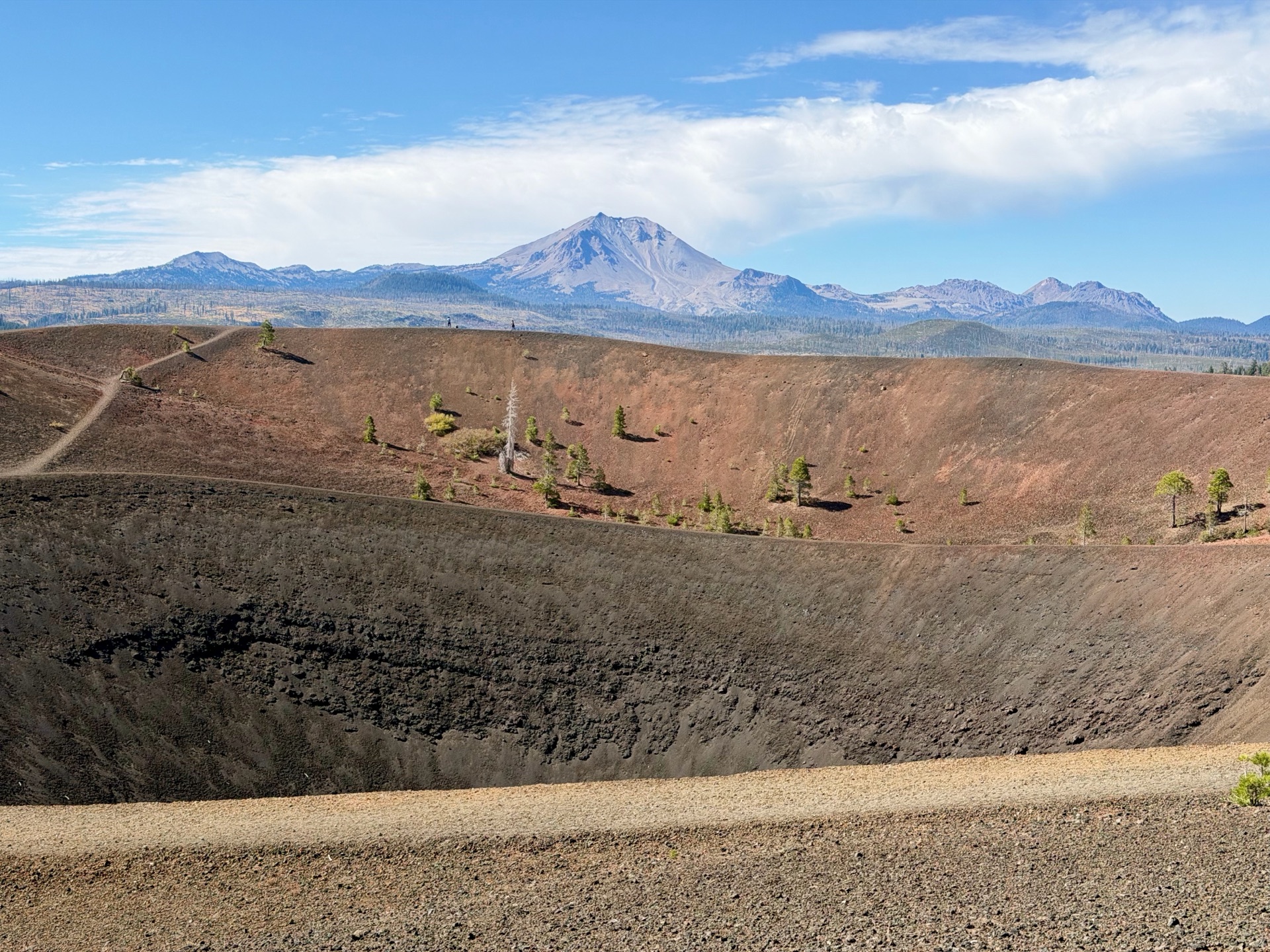
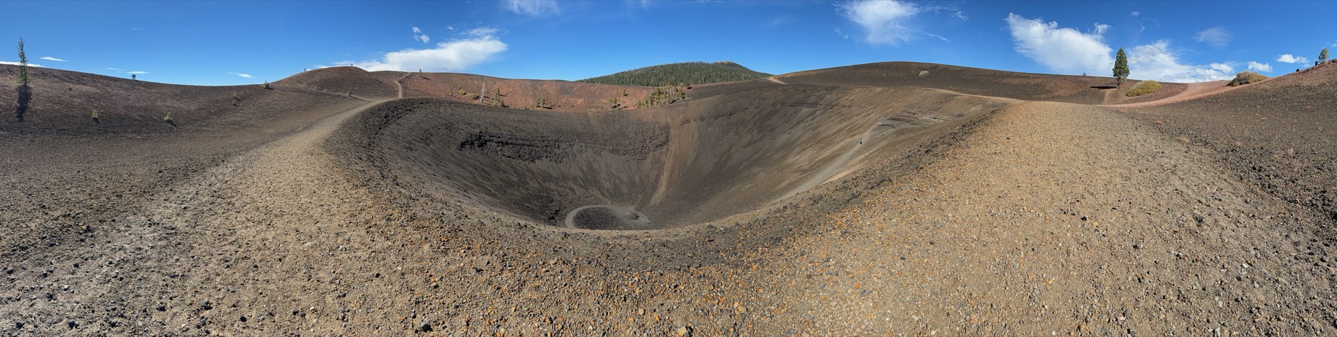
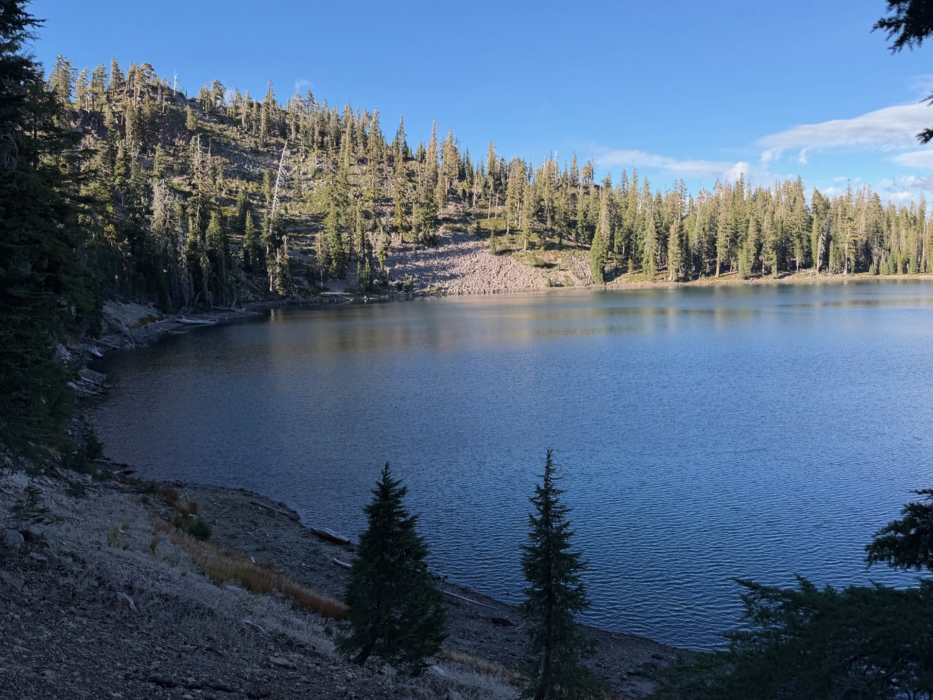
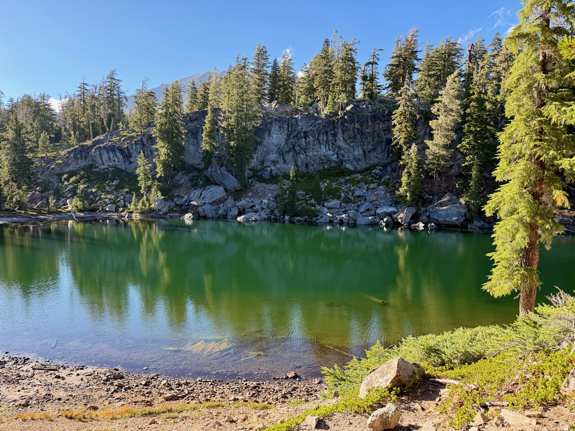
The climb to the summit of the cone was straightforward, with lots of people going up and down (the rest of the trails were empty all day). The views from the summit were some of the best: the shape of the crater, Lassen Peak dominating the horizon, black lava flows and the lighter volcanic ash of the Painted Dunes. It was as good as it gets. I made my circle around the summit, enjoying the views, and headed toward Lassen Peak; I wanted to summit it for sunset. Planning such a thing is always uncertain: just one hard uphill or fatigued legs could delay me. However, the trail was smooth, stringing together a series of small lakes (a gentleman at a parking lot told me he had counted 11 on the map). While the lakes didn’t reach the epic views of the Sierra Nevada, my mind was instead on glimpses of Lassen Peak, with a 2,000-foot ascent waiting at the end.
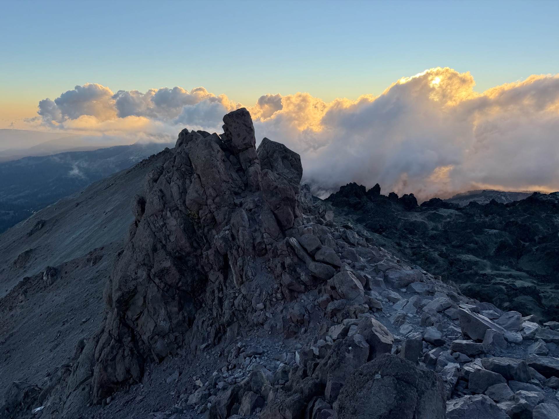
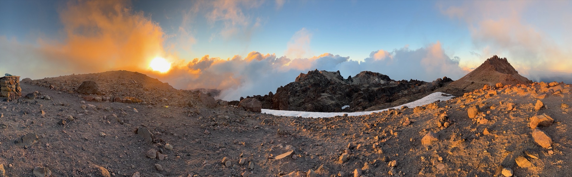
The rest was a blur. I reached the trailhead right in time, started a speedy ascent (everyone was descending to avoid darkness), and reached the summit before sunset. The sun was lighting up the cloud cover. There was no horizon to see because of the clouds, but the sunset colors lit up the crater in all its glory. It was windy and cold, but I enjoyed those moments before descending. With all the things I saw, this was a true extravaganza.