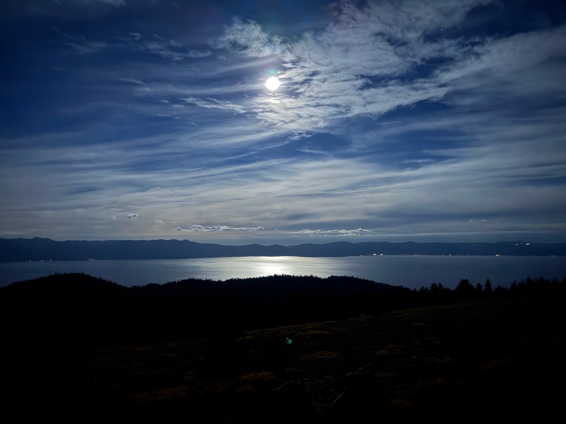
After running part of the TRT yesterday, I woke up feeling great. A quick breakfast of cake, and I was off for my last day on the Tahoe Rim Trail. The full moon was out, illuminating the lake. It was surprisingly bright, and I was glad to see this different side of the lake at night.
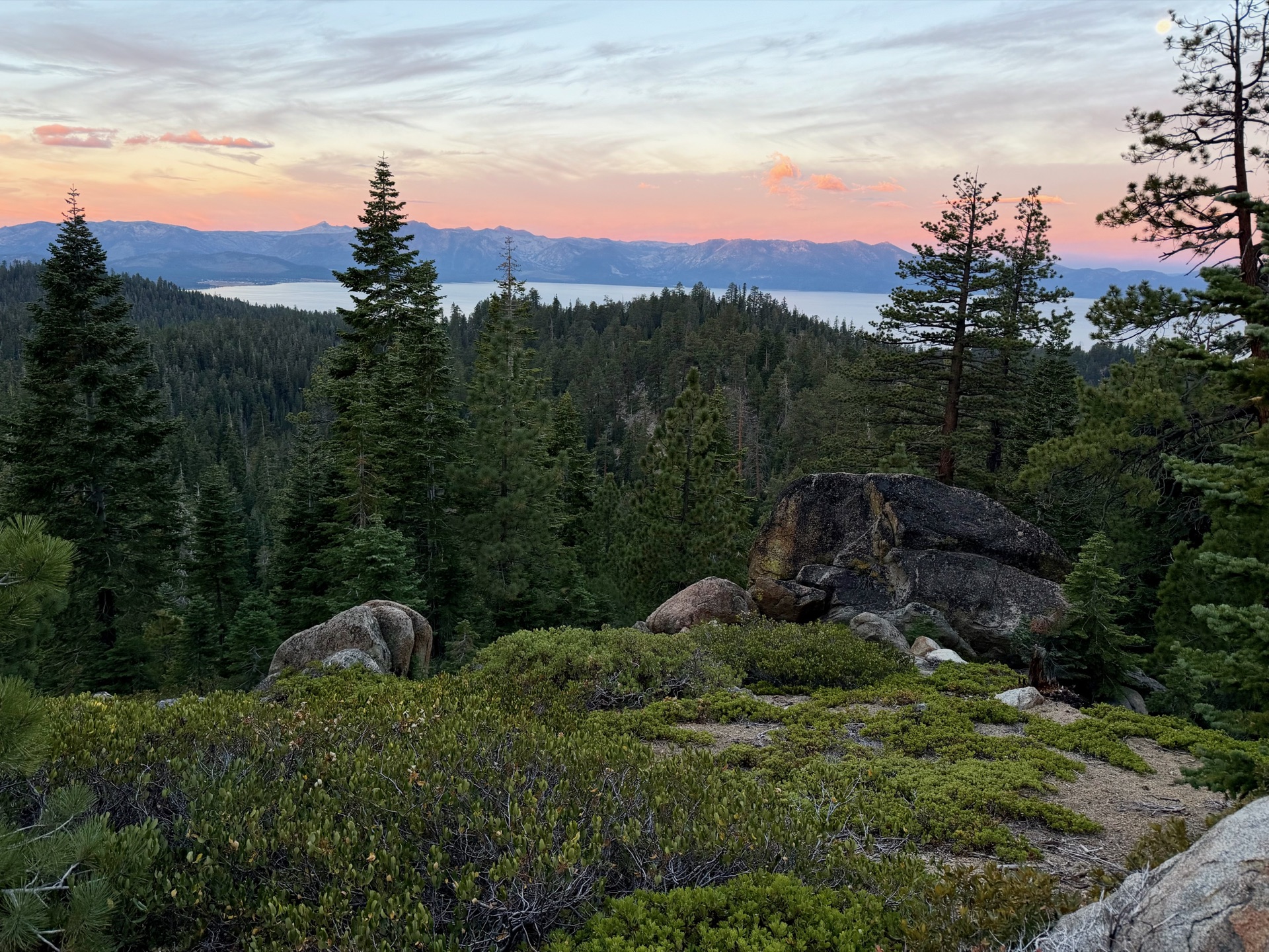
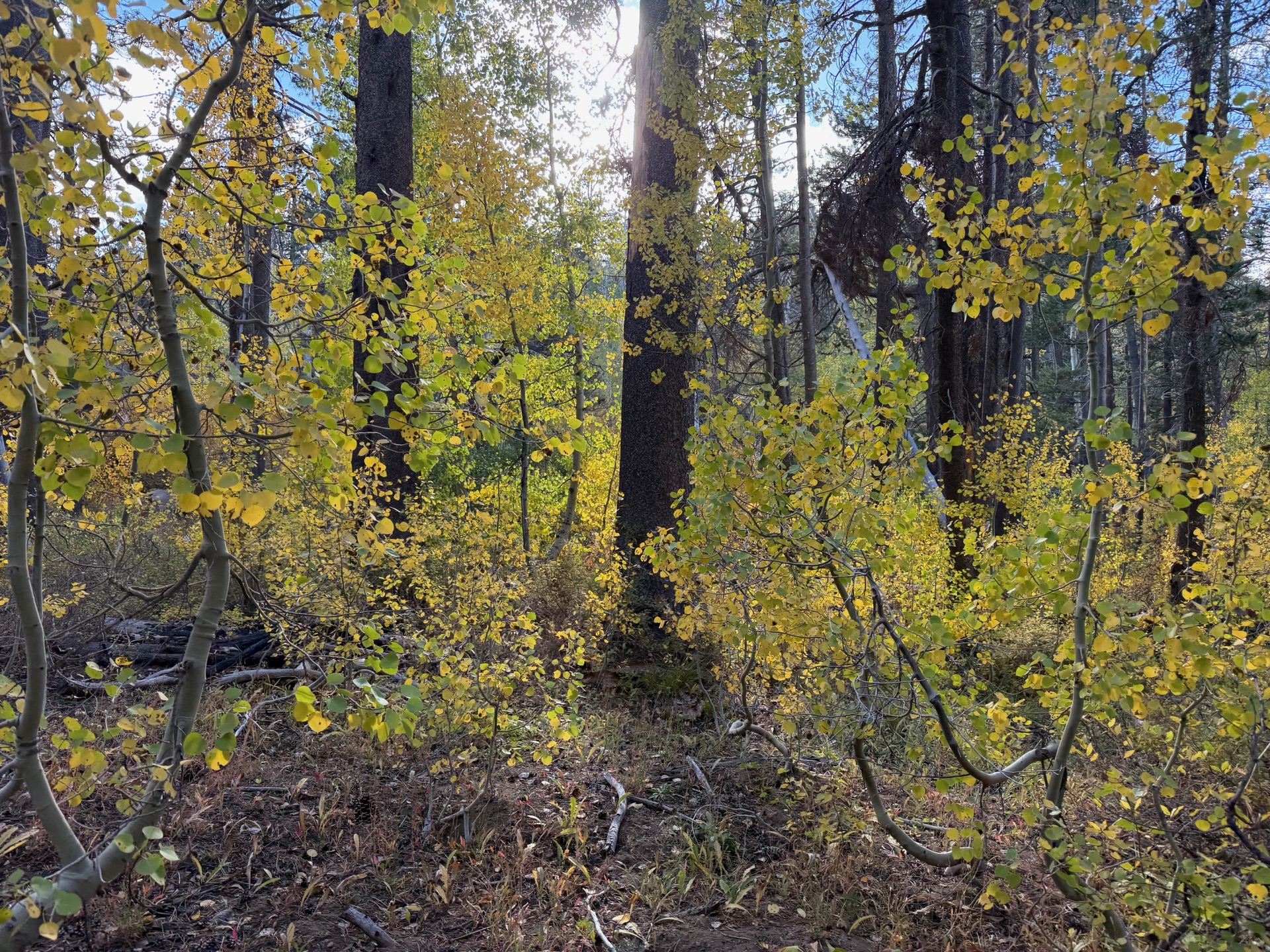
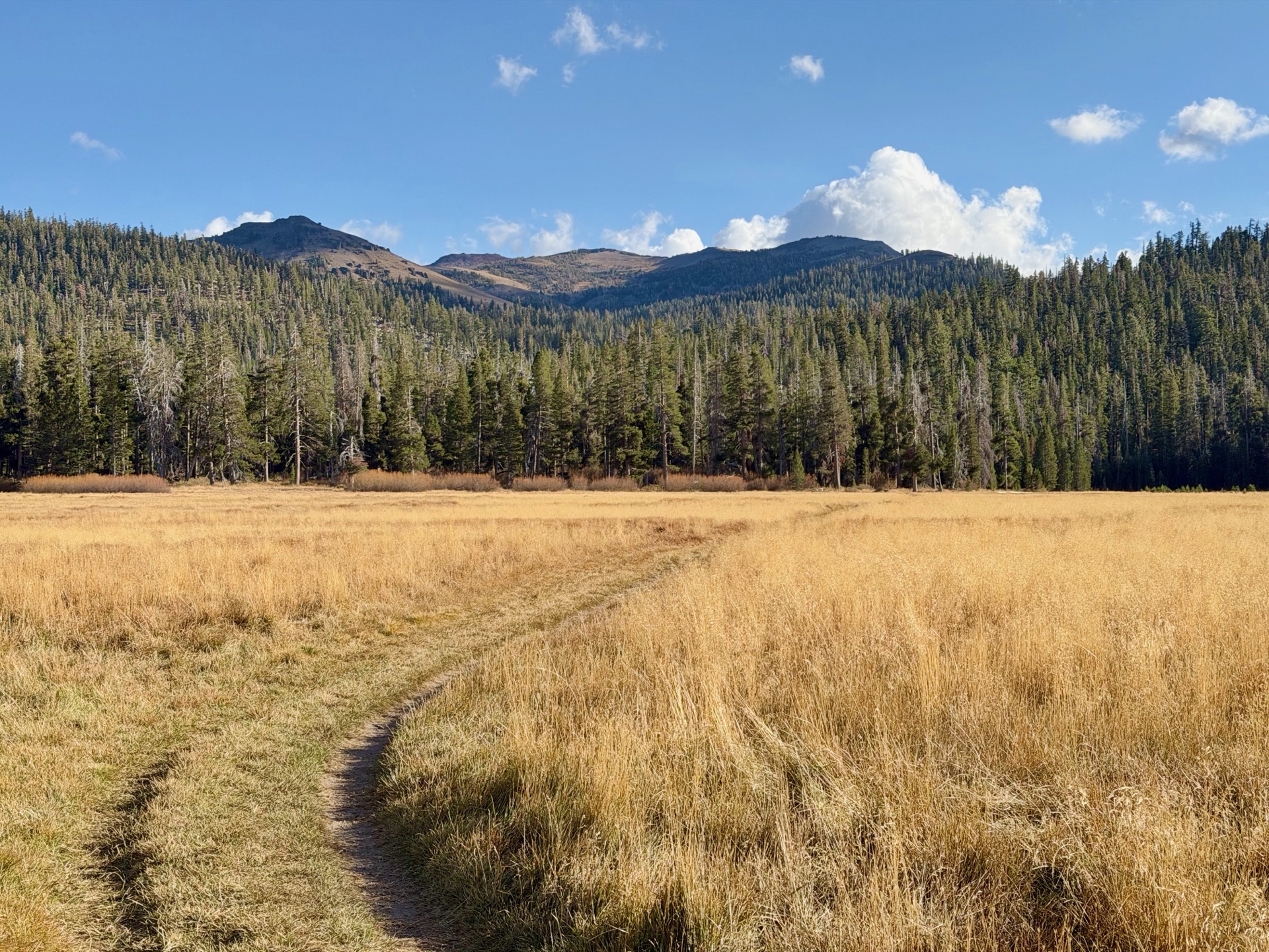
Today the trail weaves along gently graded ridges, through shady forests and over open mountain passes. It’s some of the best running in the Sierra Nevada: smooth, perfect single track most of the way. Ice Age glaciers scoured the high country west of the lake, but the Carson Range on the east side was only lightly touched. The granite here was left to weather into coarse, sandy grains. In September there is very little water, and that will be my main concern, but at least the cold front kept me less thirsty.
My first stop of the morning is the Kingsbury Grade crossing, a residential area where I find a water cache. By then I was so thirsty I was ready to knock on doors and ask for water. No need, though: just half a mile later the trail crosses Edgewood Creek. I refill again, and from here the water situation only gets better. The Carson Range sits in the rain shadow of the Sierra crest west of the lake, so its creeks dry out quickly in summer.
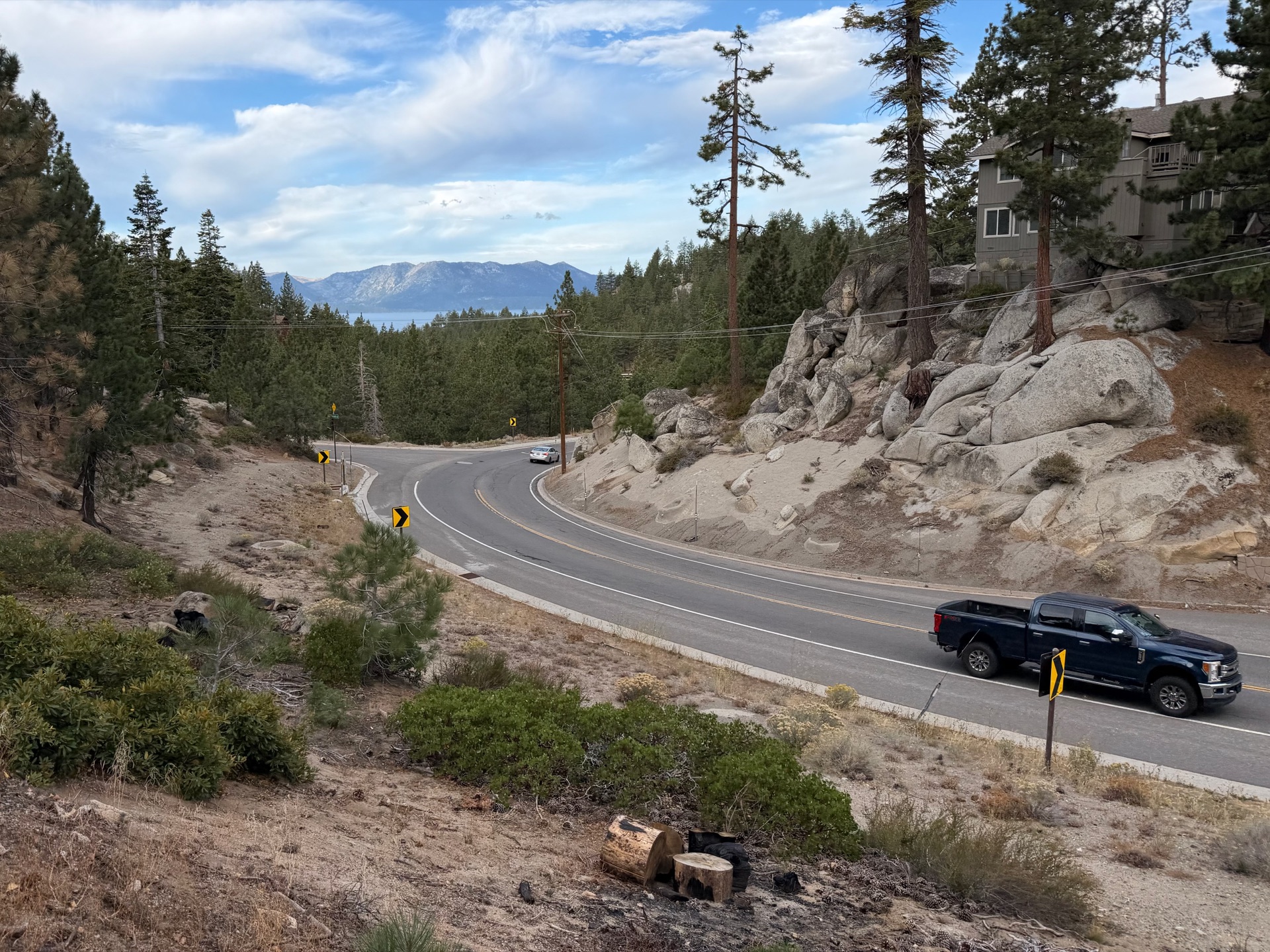
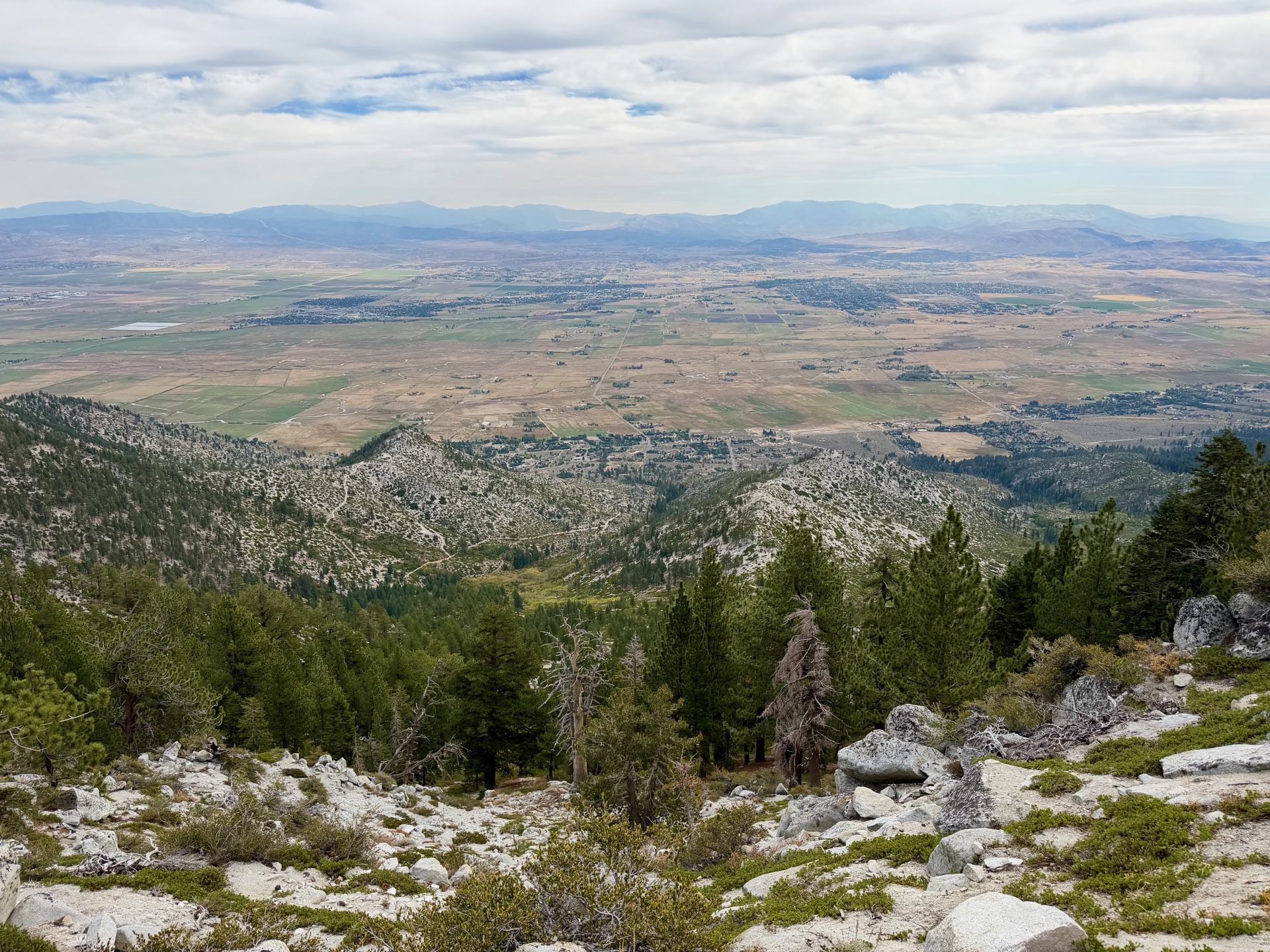
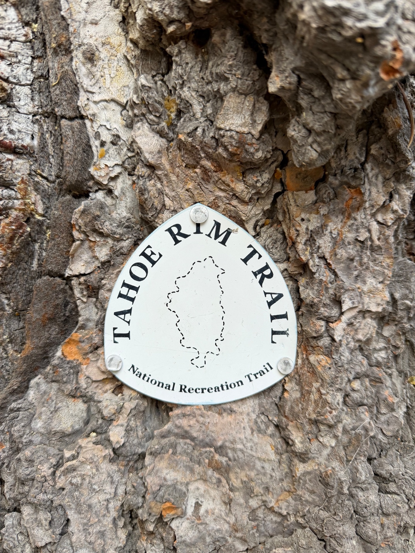
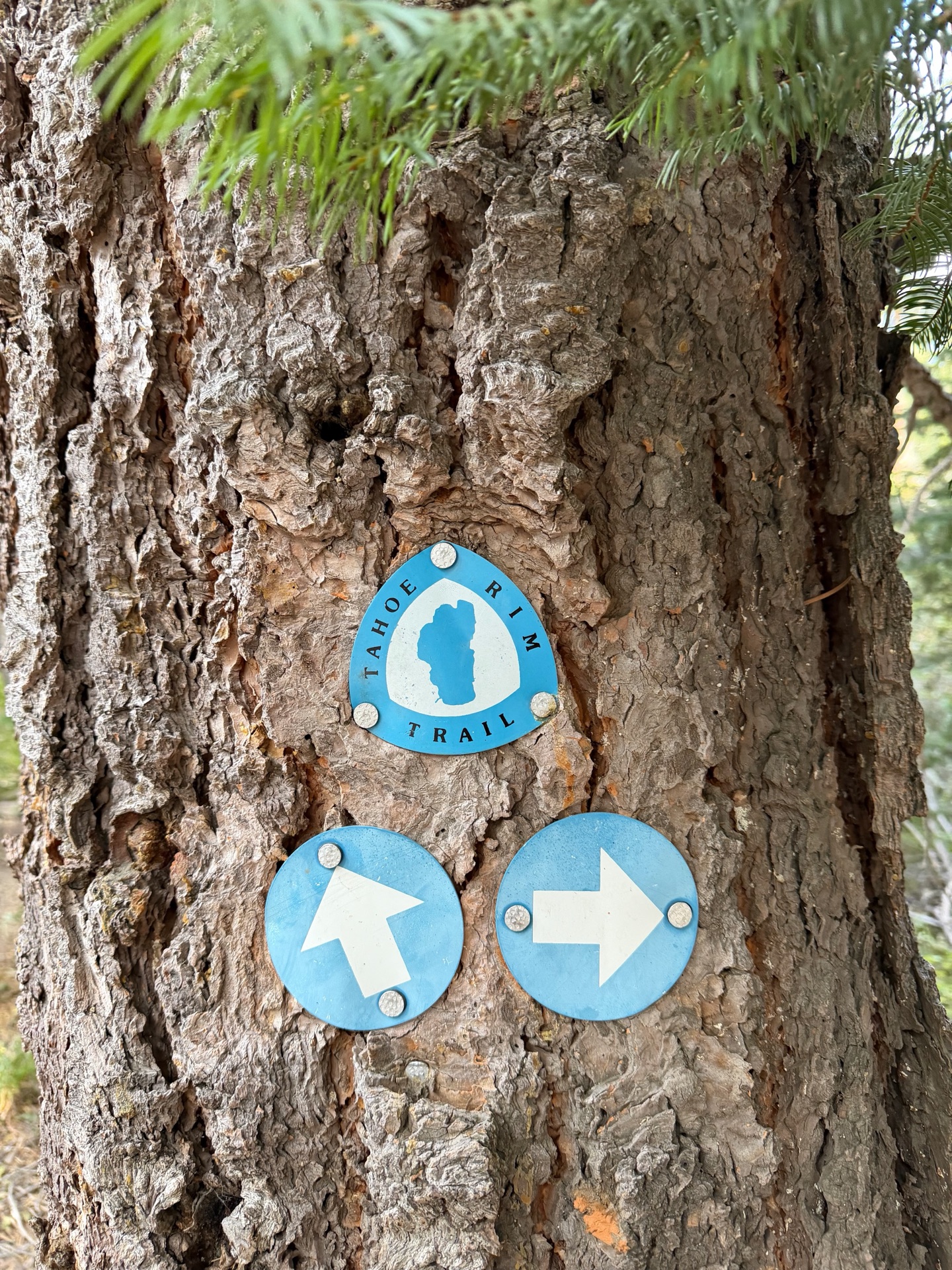
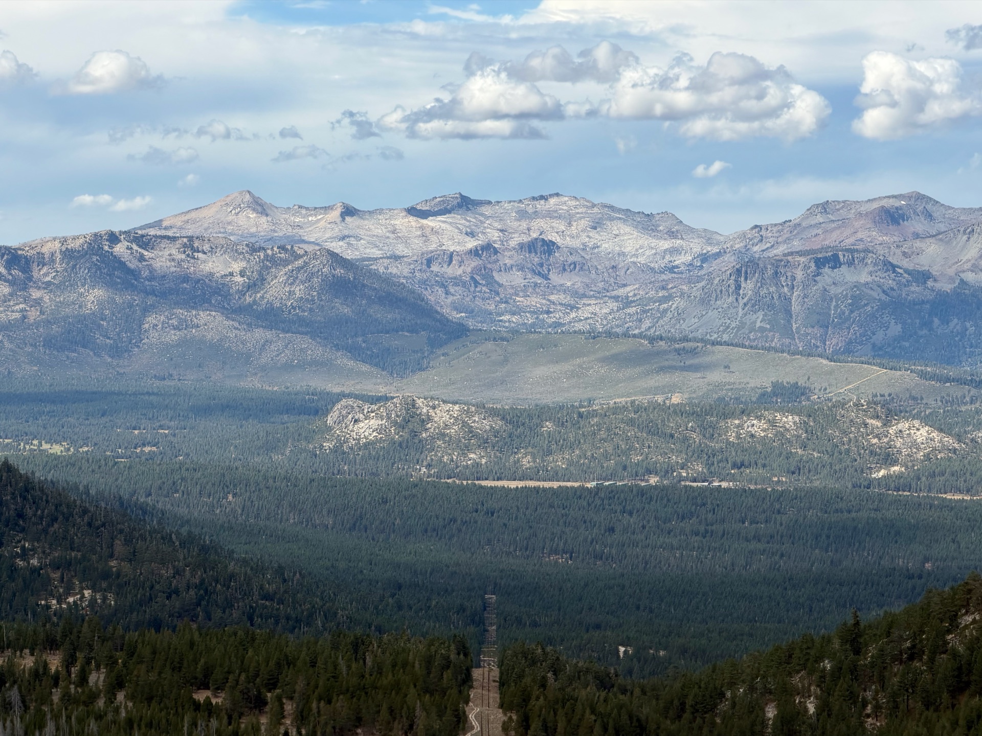
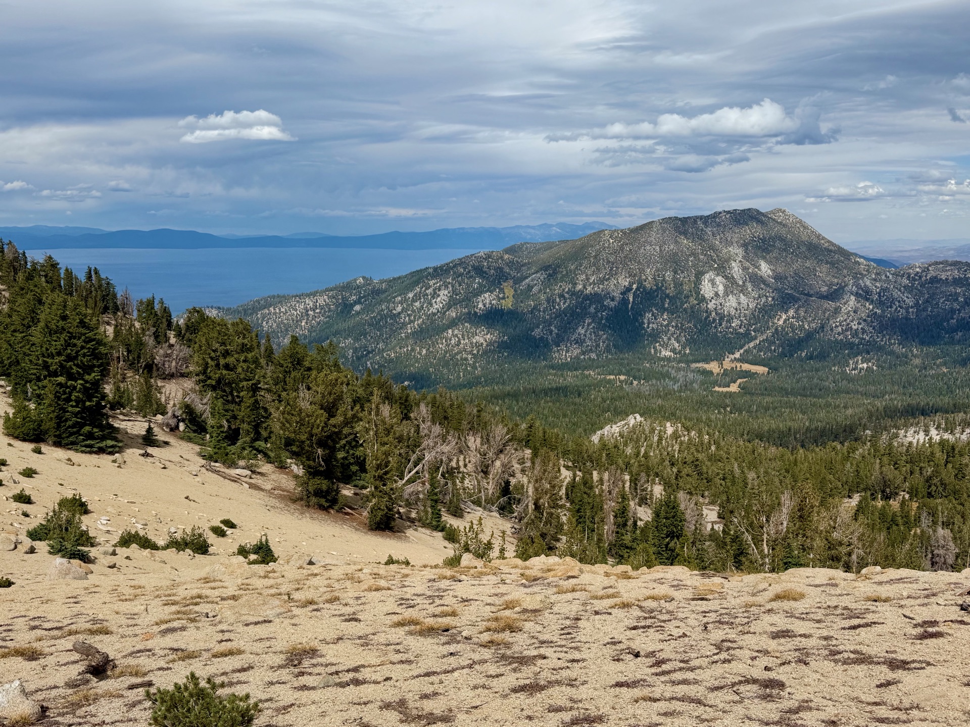
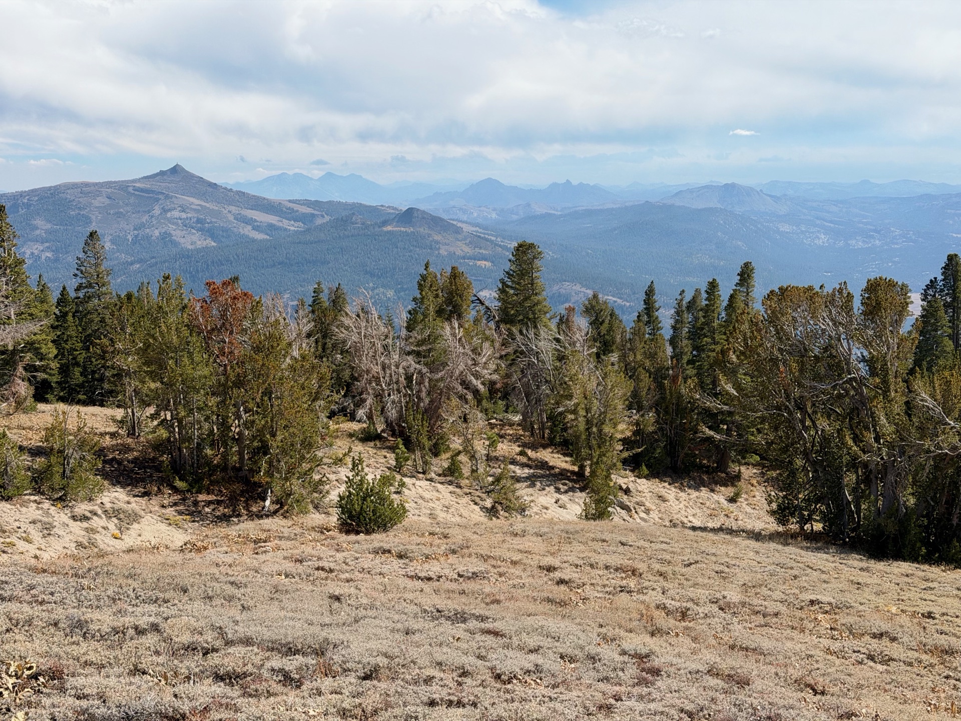
Next comes a busier stretch along the slopes of Heavenly ski resort. The path crosses a few lifts and looks out over the more developed valleys below the Carson Range. I meet a mountain biker, and a brief chat reveals she knows the area very well; she tells me about every small creek for the next 10 miles. The trail heads toward Star Lake, below Freel Peak (10,881 ft, the highest point in the Tahoe basin), and on to Freel Pass. It’s some of the smoothest running of the day. As I continue along the ridgelines, slowly climbing, the southern part of Lake Tahoe comes into view, with majestic Desolation Wilderness in the distance. I ran trails on every mountain I can see over the last few days. It’s rewarding, and bittersweet, to be finishing this part of the Sierra.
I ran trails on every mountain I can see over the last few days. It’s rewarding, and bittersweet, to be finishing this part of the Sierra.
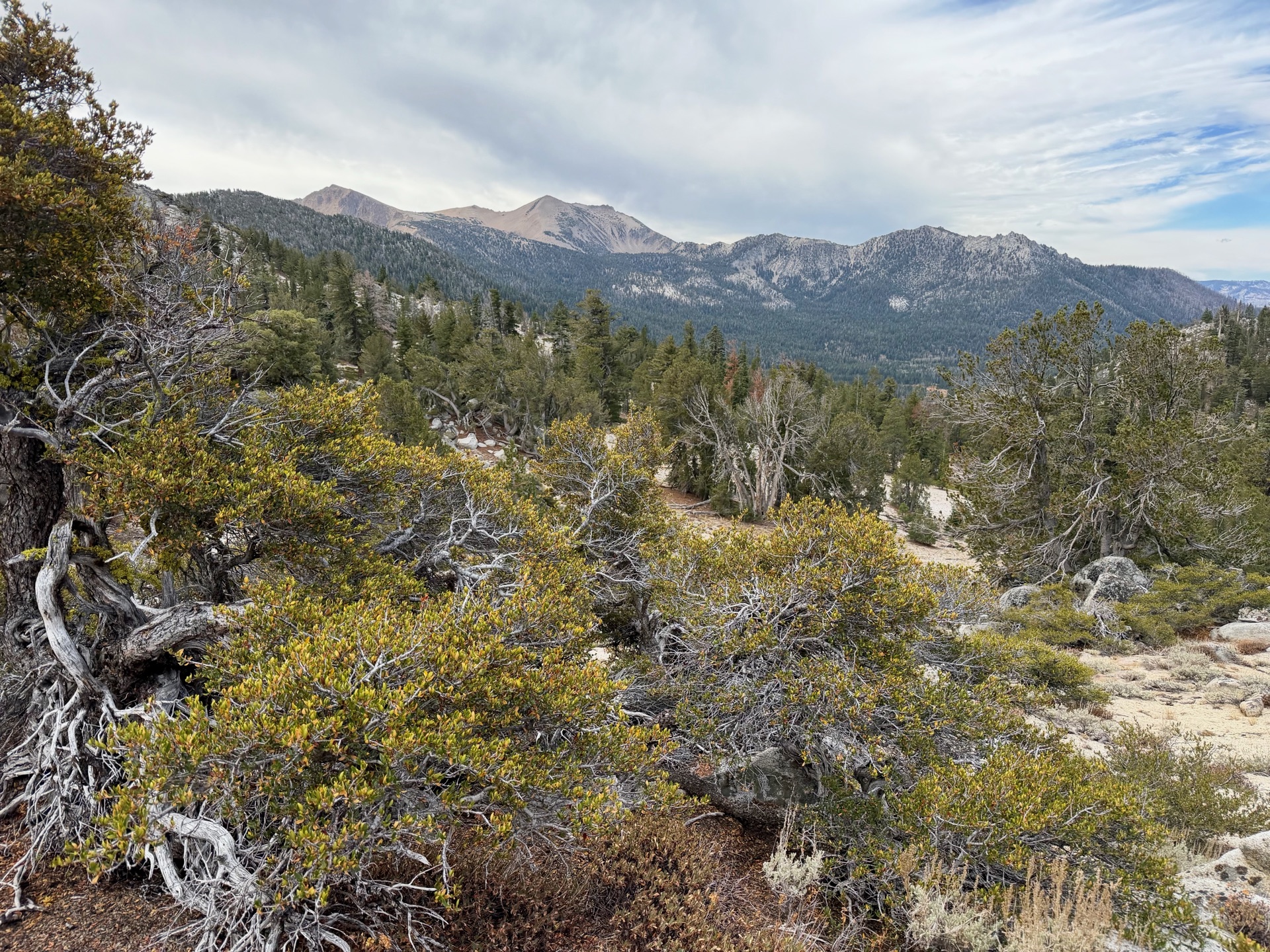
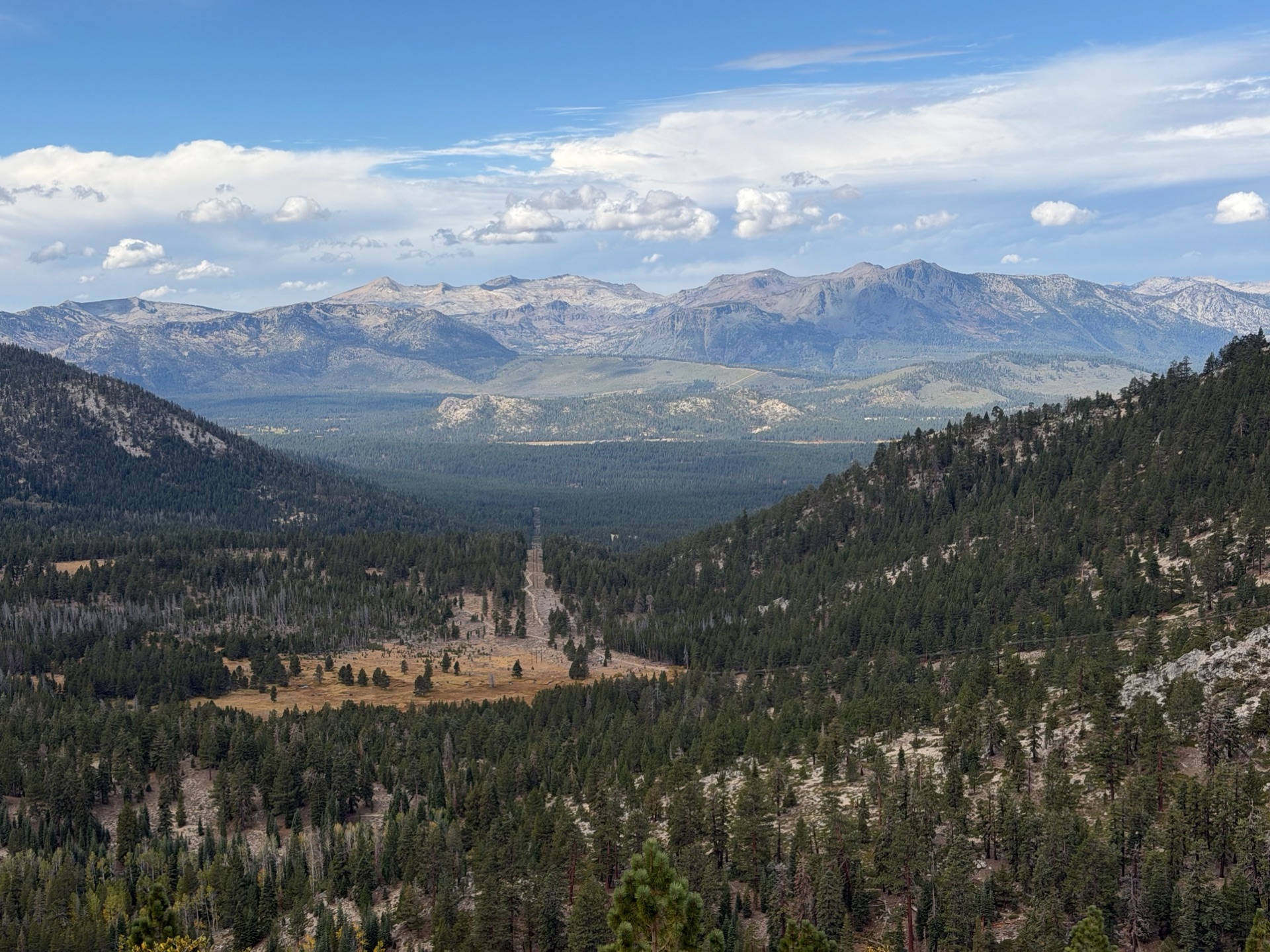
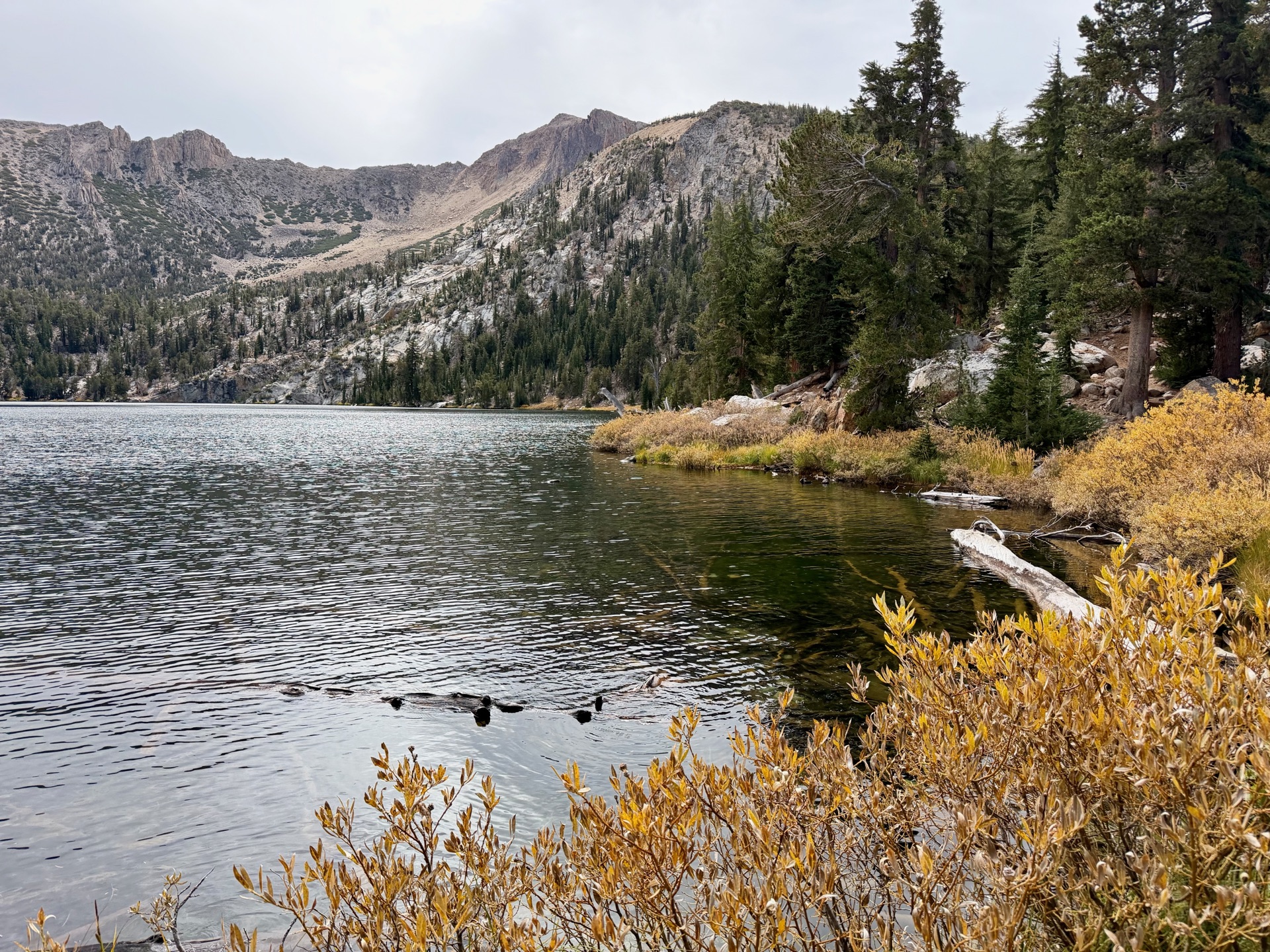
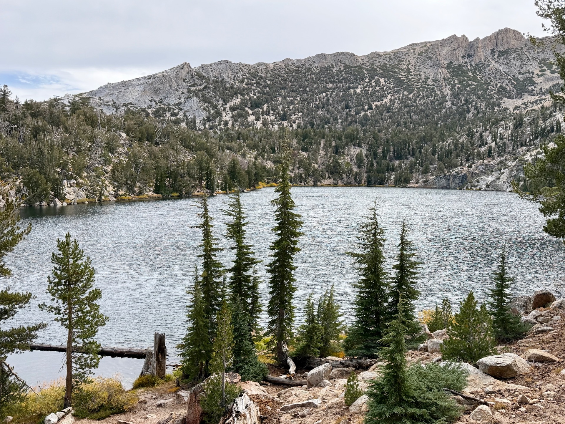
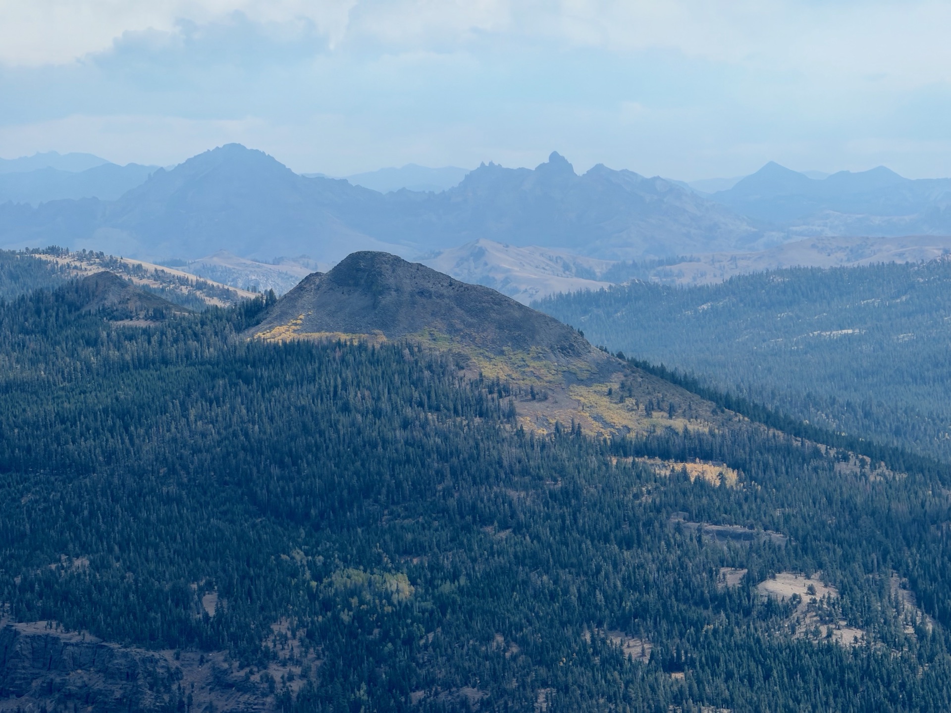
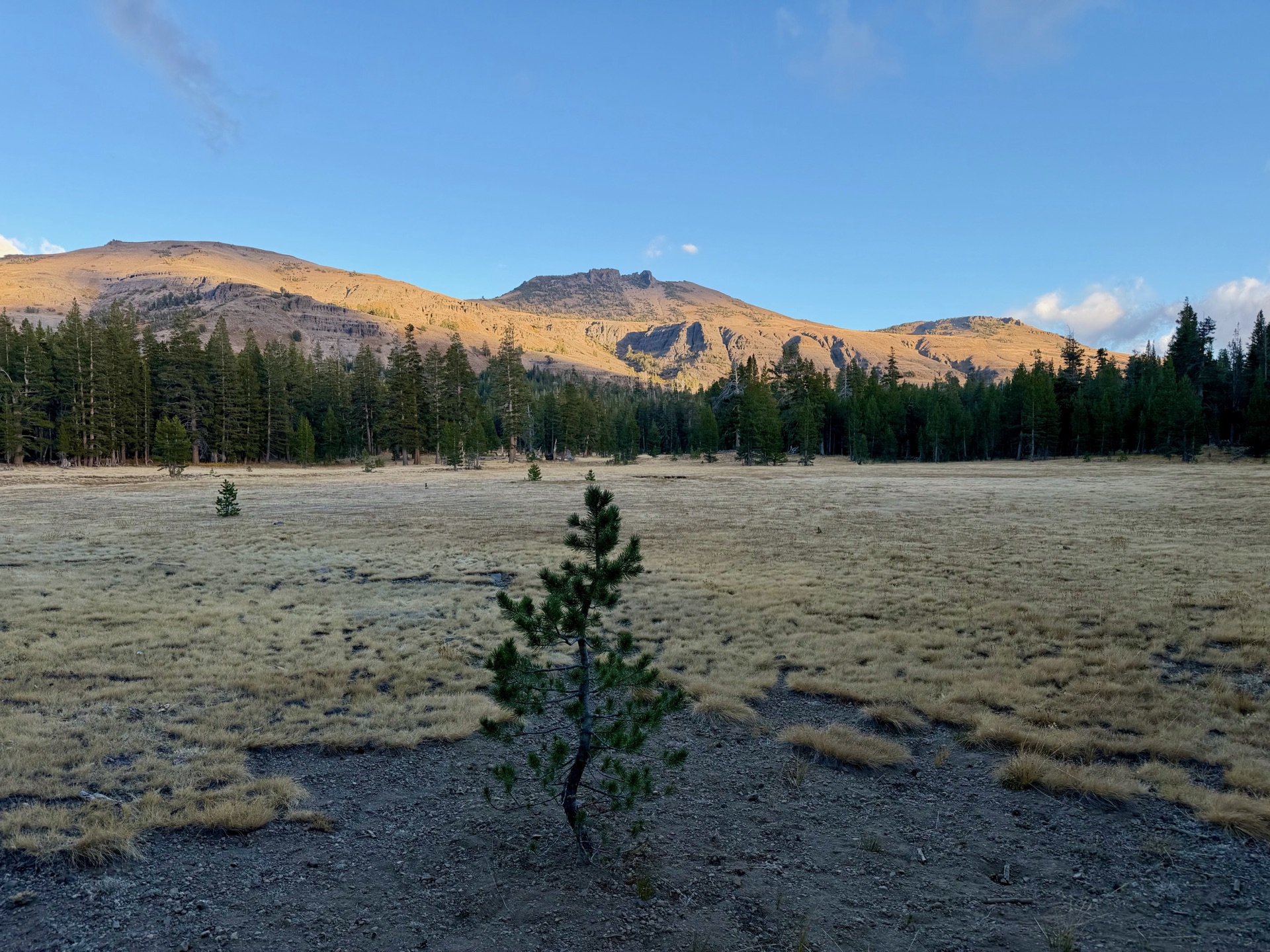
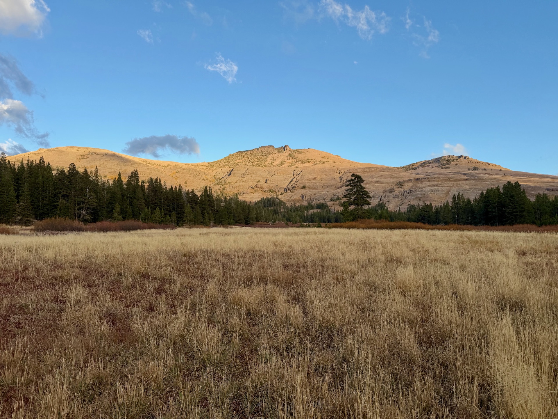
At Freel Pass it gets busy, with trail runners, cyclists and hikers. The trail goes up and down through valleys to Big Meadow, another busy trailhead. Here the terrain starts changing from granite to volcanic rock, but the running stays smooth. This is where day hikers start toward Round Lake, also a very popular camping spot for PCT and TRT hikers. As the sun sets, I turn onto the PCT toward my rendezvous at Carson Pass. The Mokelumne Wilderness is laid out in front of me, its volcanic peaks forming a jagged horizon.
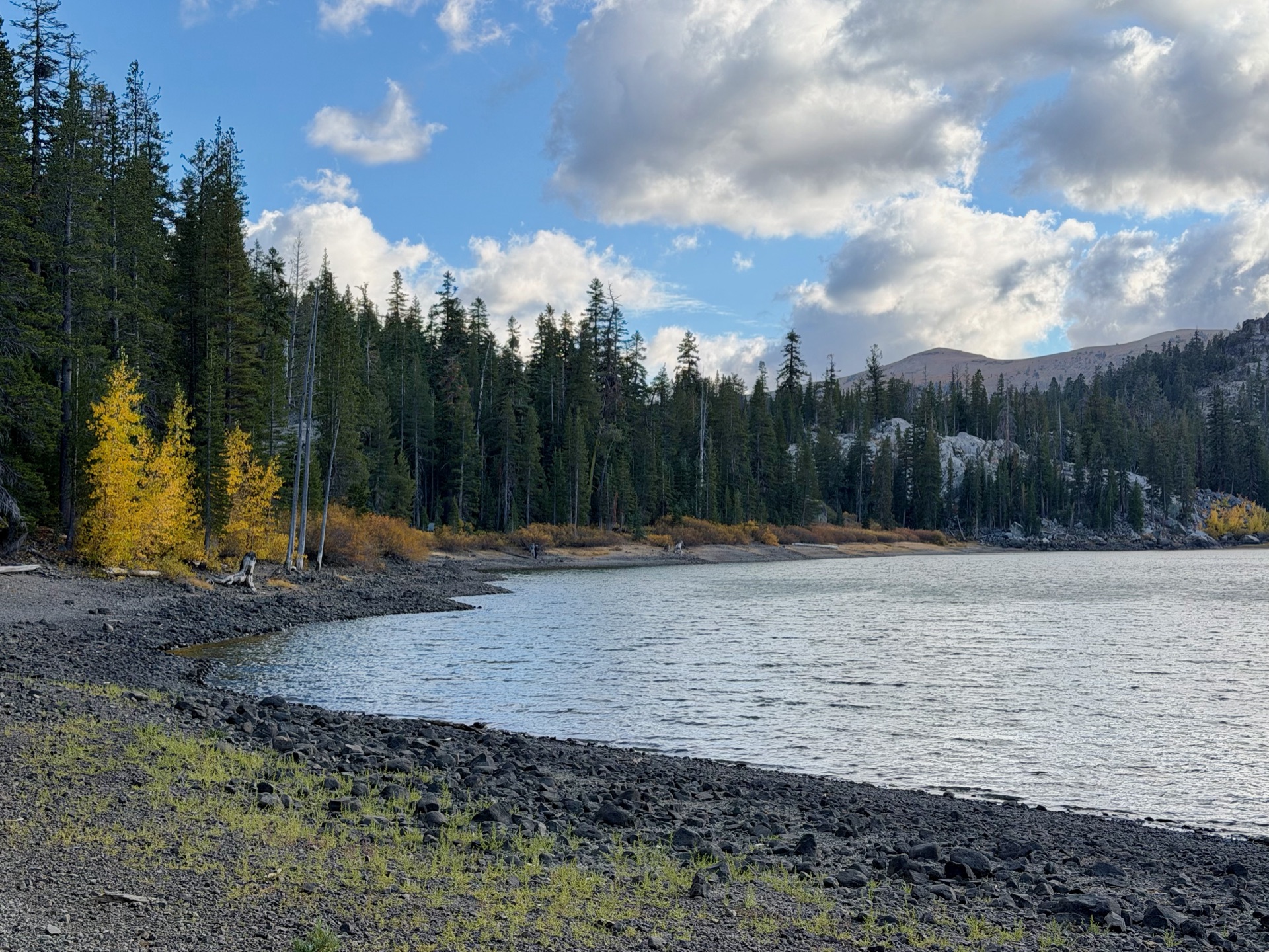
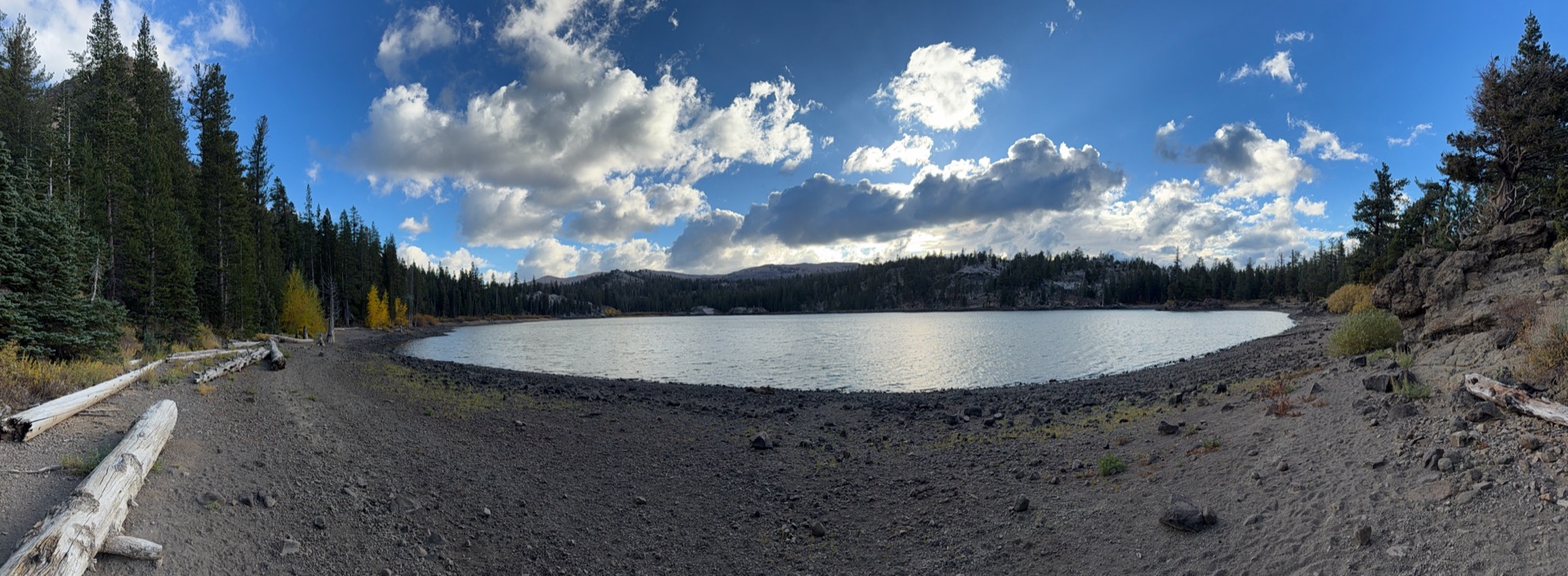
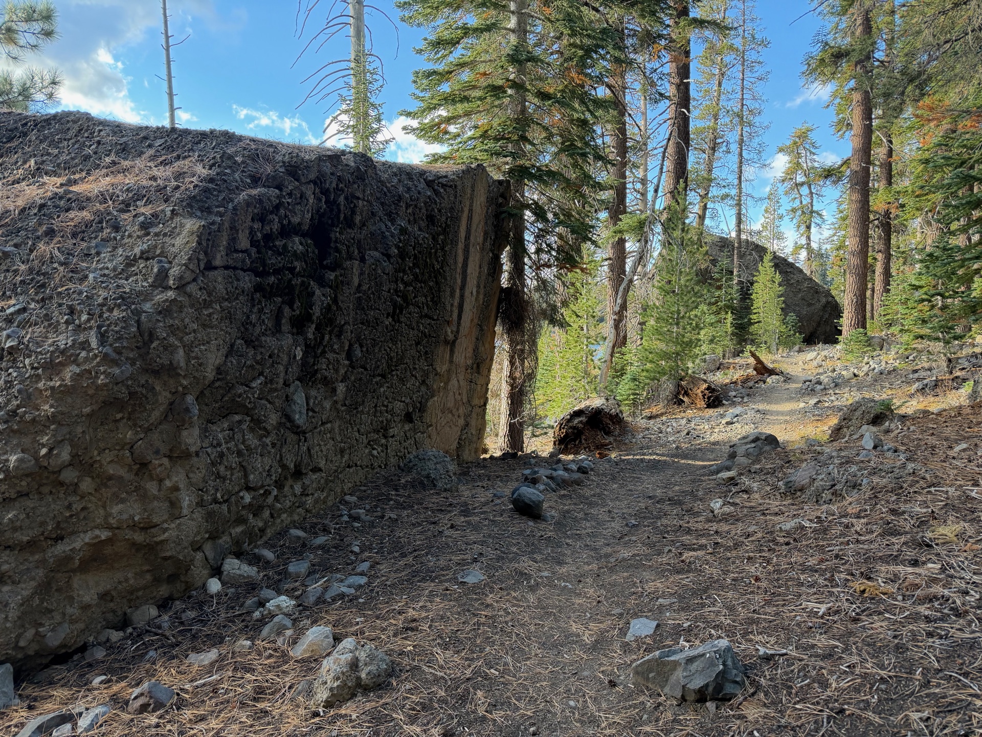
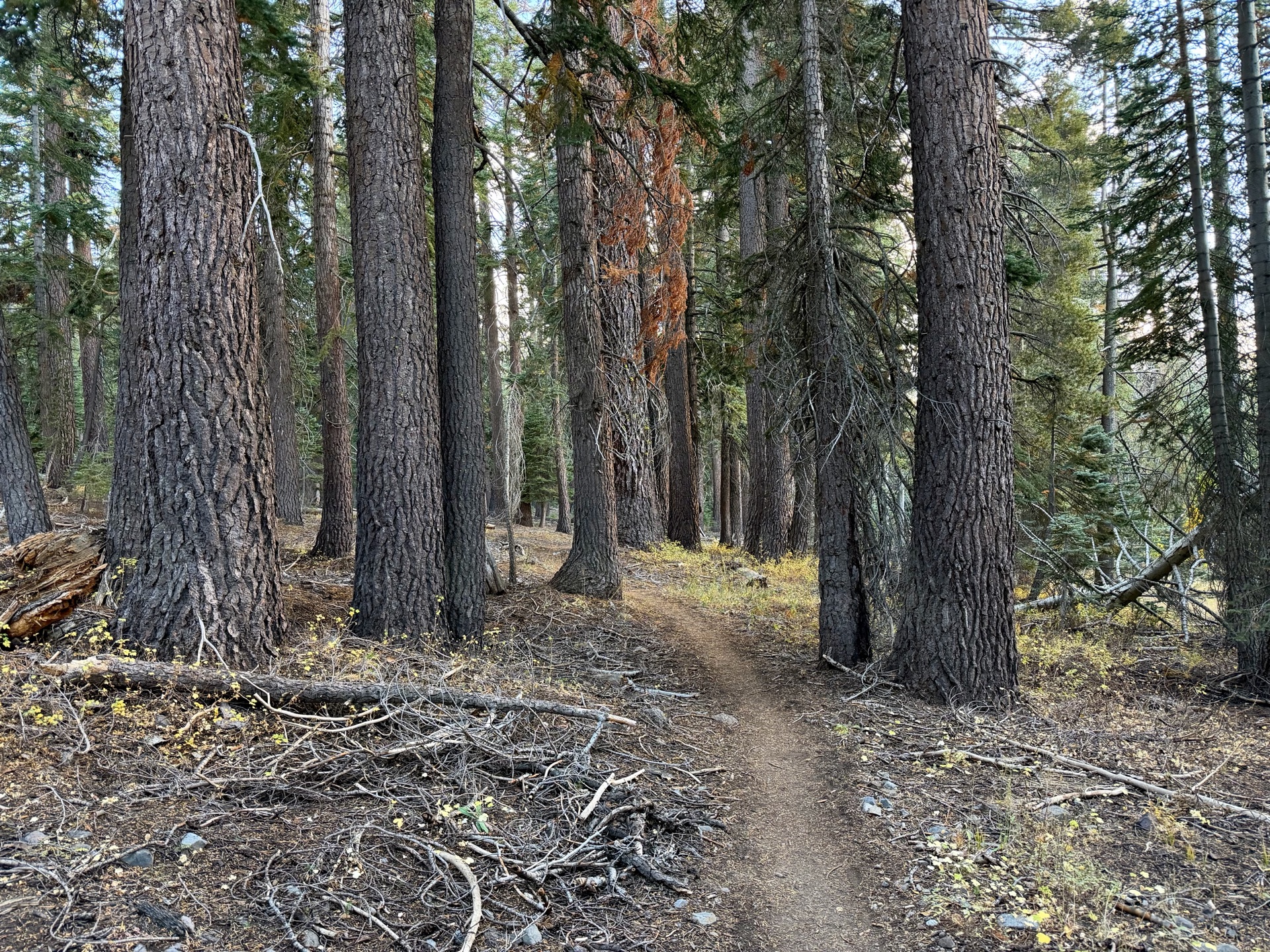
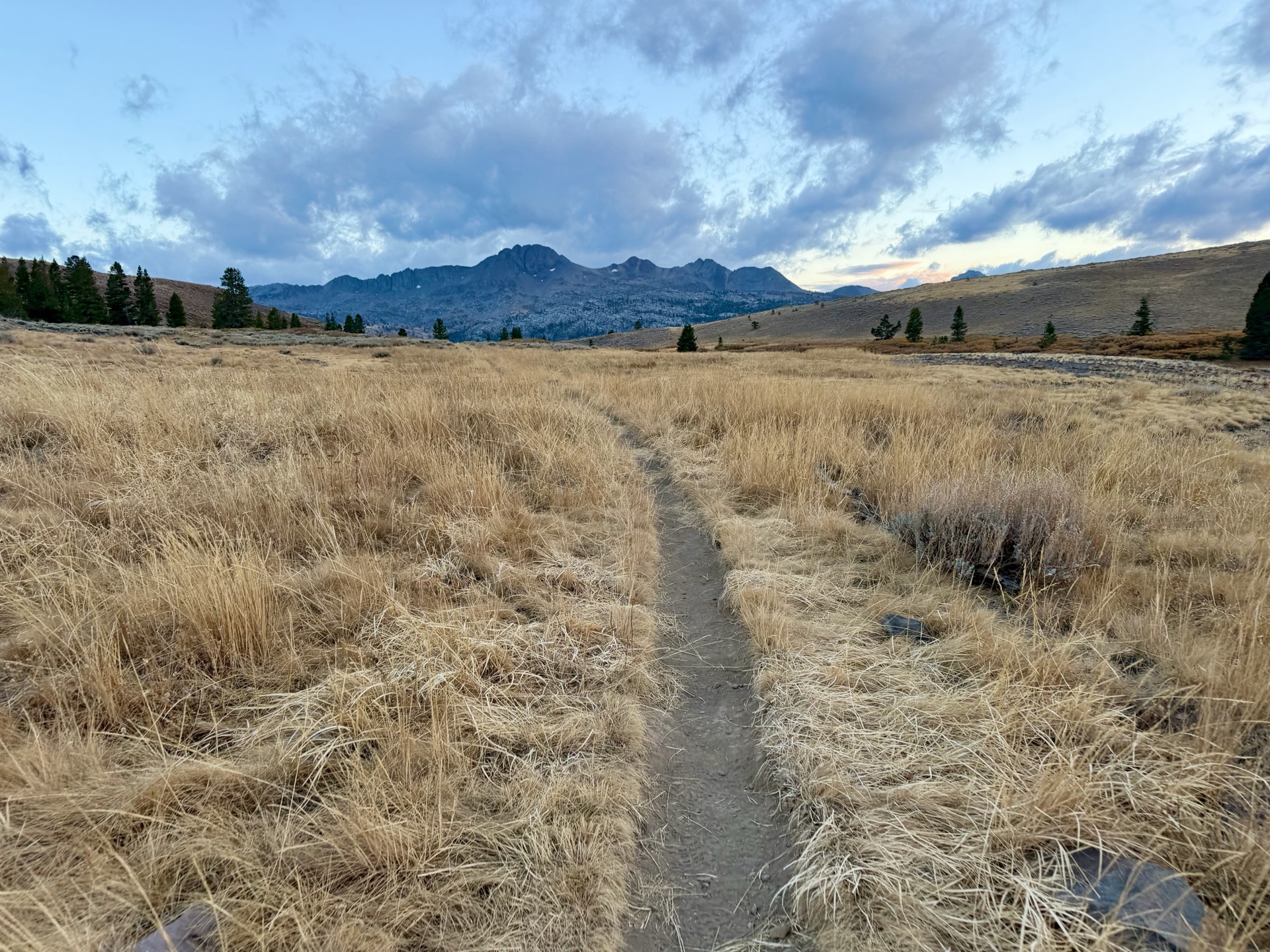
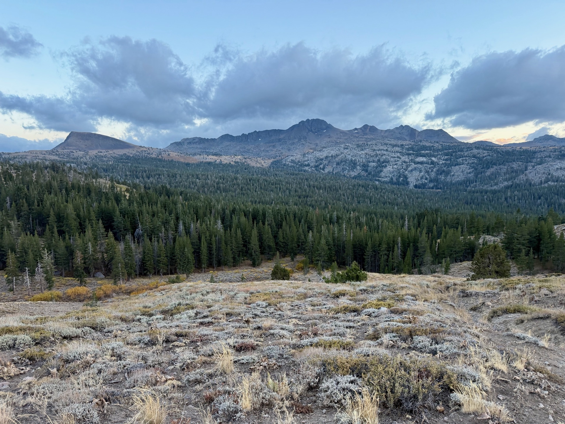
The moment the sun dips below the horizon, temperatures tank, and the last mile is freezing. I arrive at the parking lot cold. A very late PCT hiker is cooking a meal; he tells us he hopes to finish the Sierra before the storms hit and that he’s tired of cold September nights. The next few weeks stayed snowless, so I think he made it, just probably got his a** frozen.