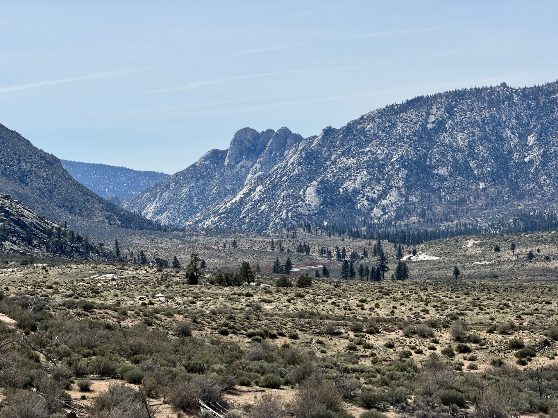
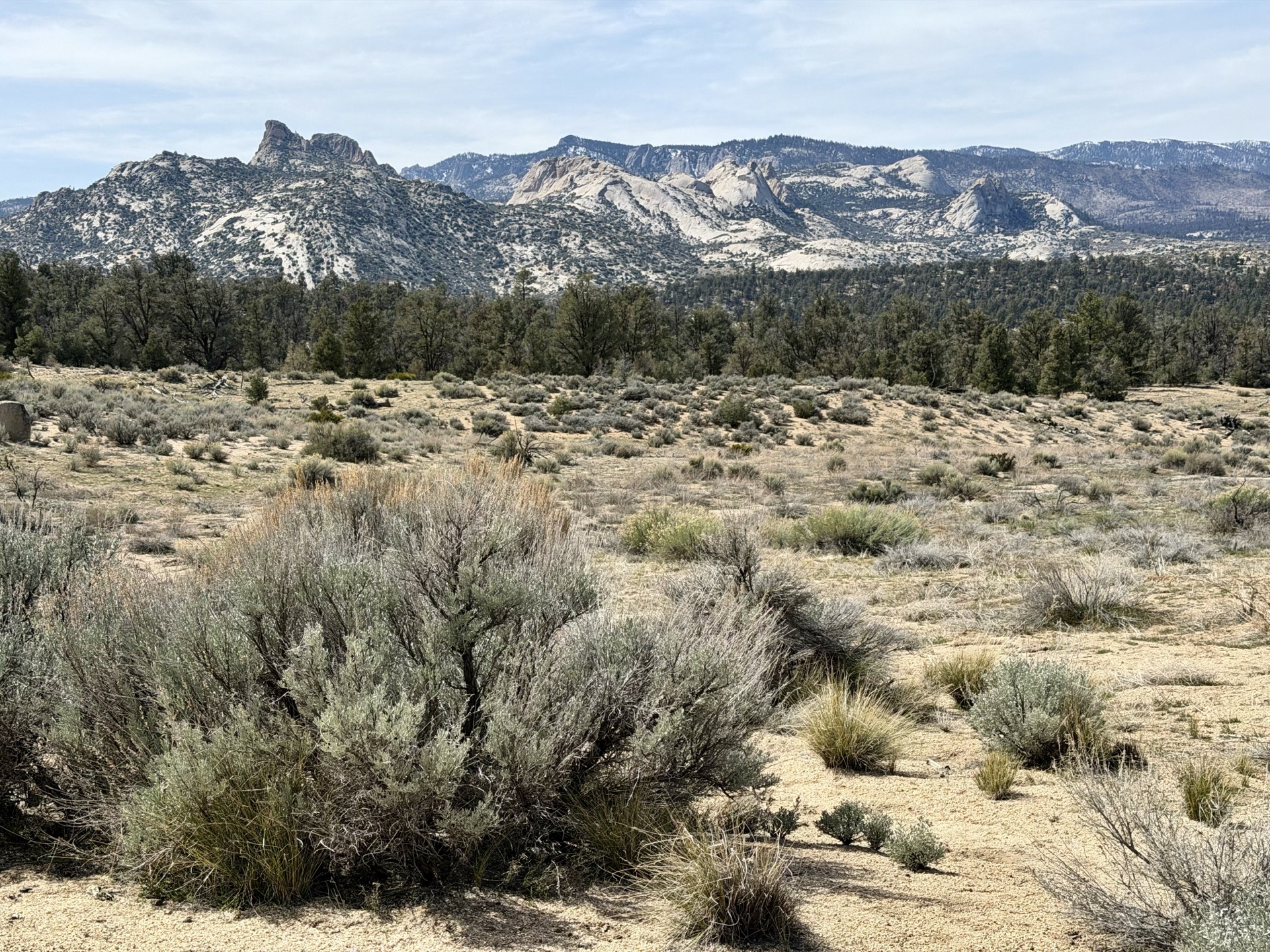
Today it's going to be two faces of the southern Sierra. First, I'll be ascending the mellow terrain of Chimney Peak Wilderness, continuing into the Scodie Mountains. Then, suddenly, the granite domes of Domeland Wilderness appear — first signs of the pure granitic rock we associate with the Sierra. A majestic granite plateau laid between mountain ridges.
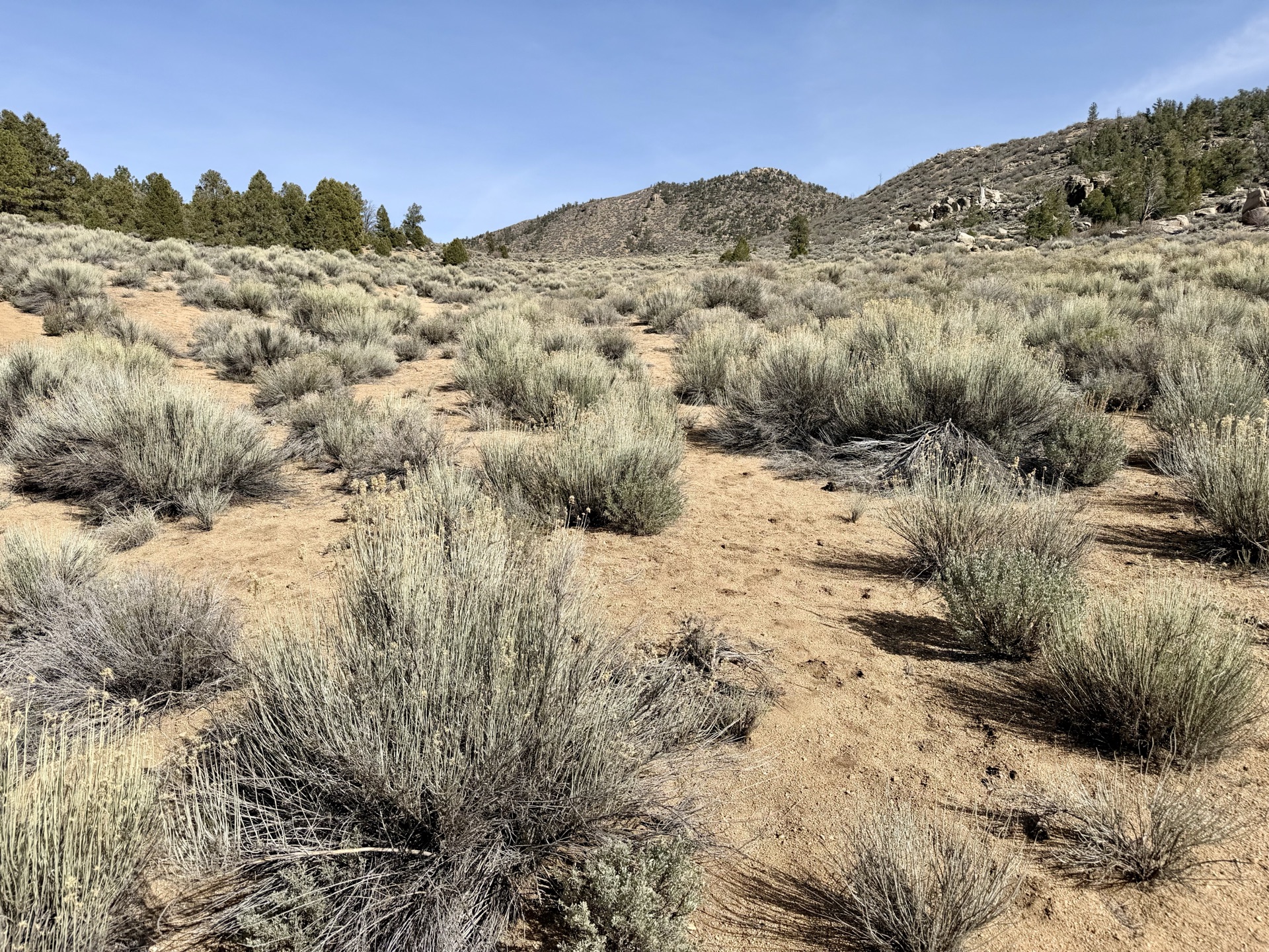
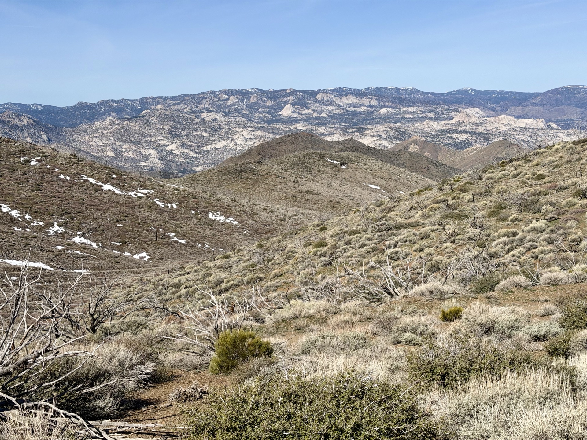
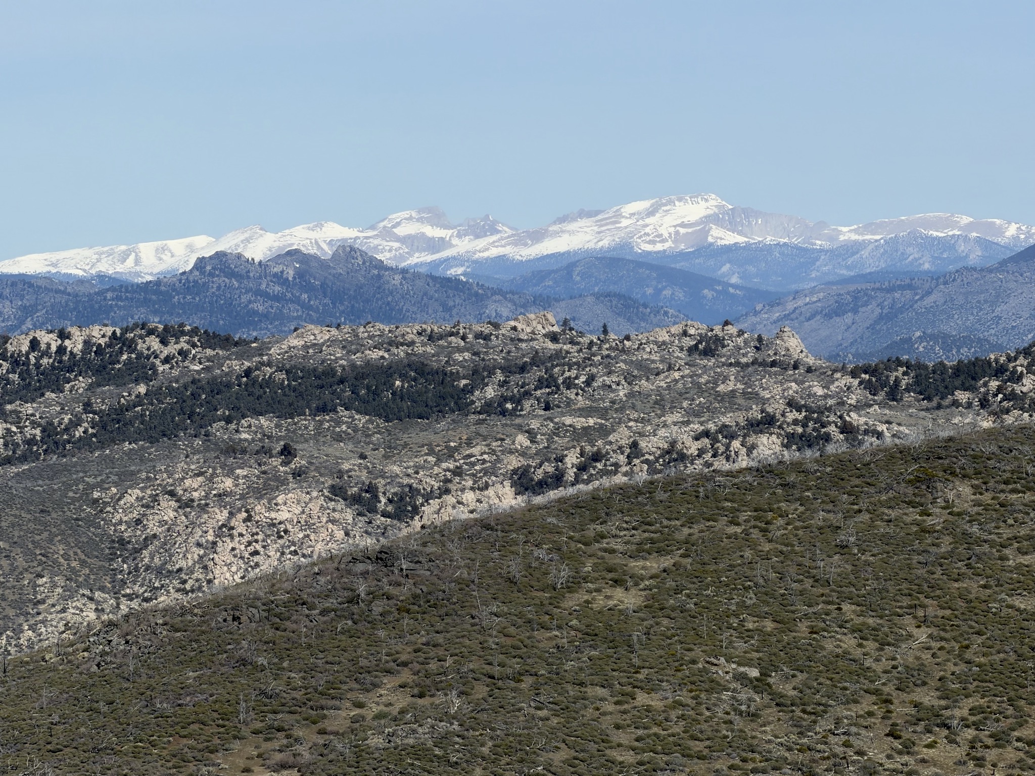
We wake at the campground as the sun crests the hills, and enjoy breakfast in its warm rays. I start off slow, giving my legs time to warm up as the trail climbs. Turning back reveals glimpses of the peaks from yesterday — Owens, Jenkins, Sawtooth. As I gain elevation, sagebrush begins to thin and pinyon appears — a sign I'm leaving dry desert terrain and entering the higher country. The trail is well-maintained and smooth; miles tick by one after another.
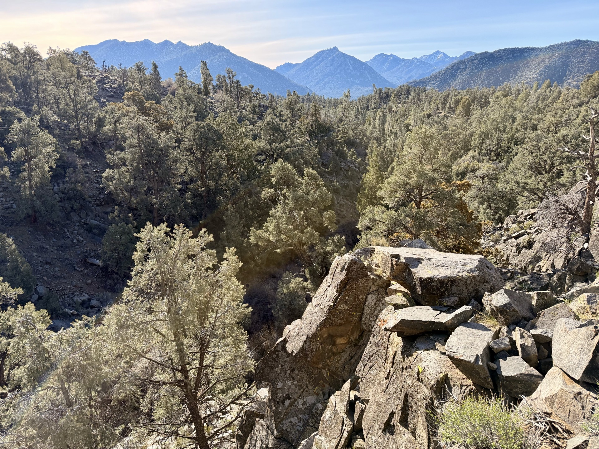
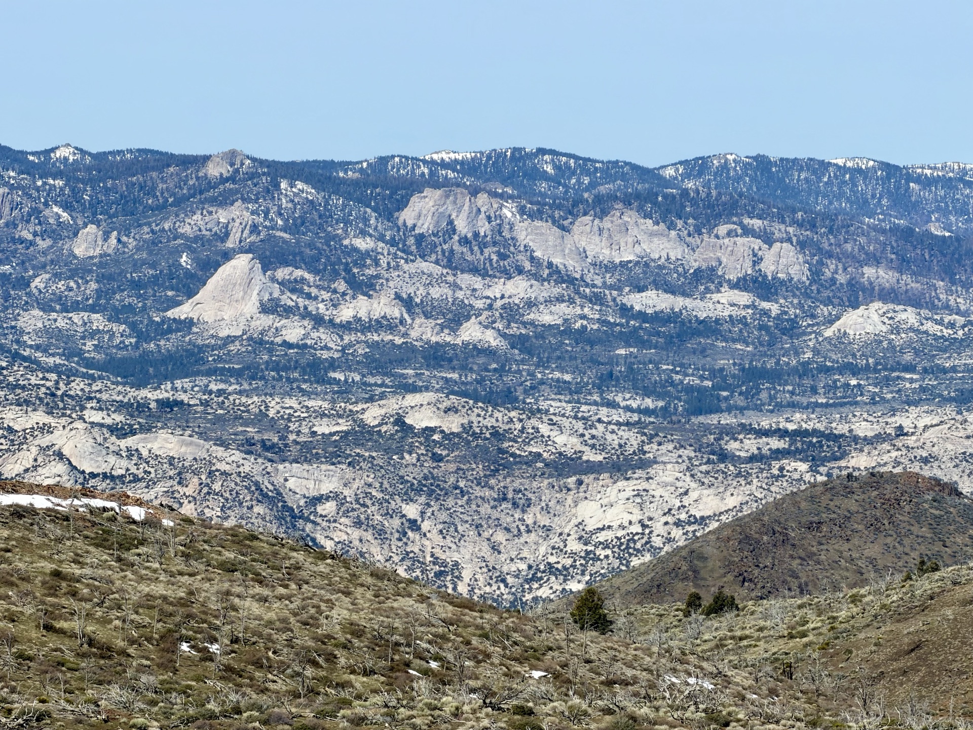
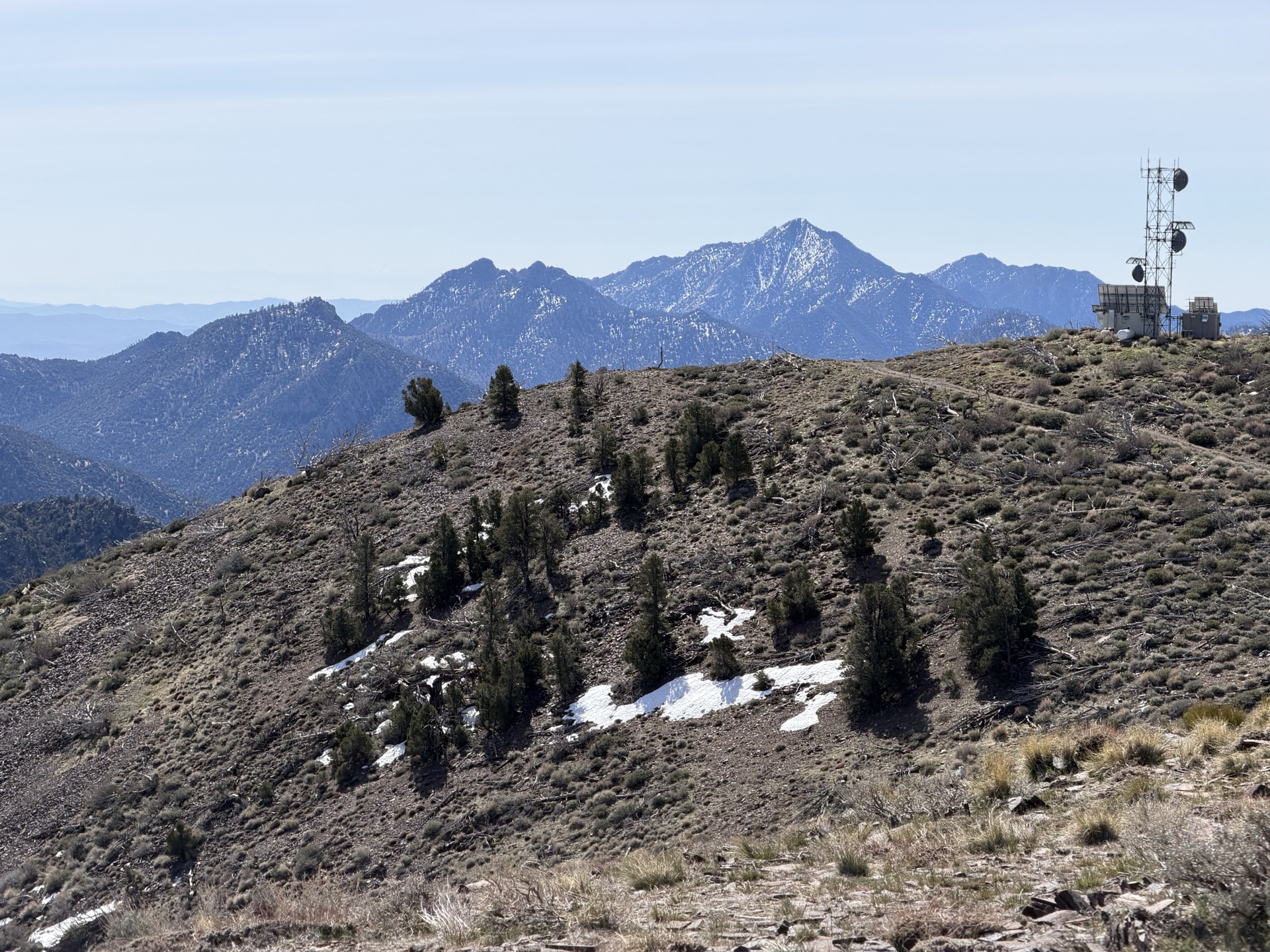
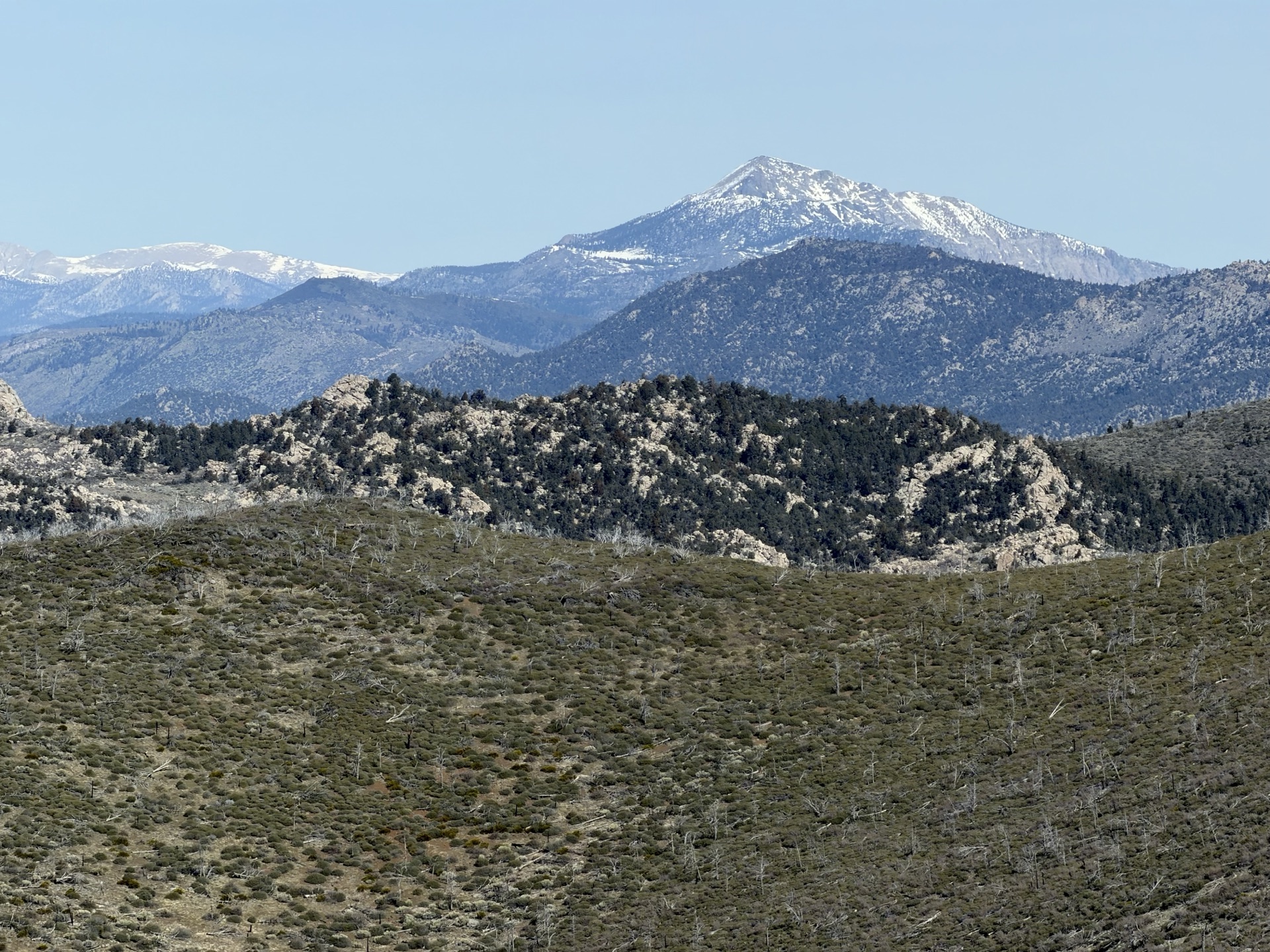
My next miles follow the mellow Scodie ridges. As I crest one, the high Sierra appears again — it's been teasing me for days. This time the vista is something else: granite domes in the foreground, an uninterrupted line of peaks finally revealed along the horizon. I stop to take it in. A short detour leads to Bear Peak (8,228 feet) — just a mile out, but worth every step. Views stretch in all directions, even though the summit is barely a bump above the surrounding terrain.
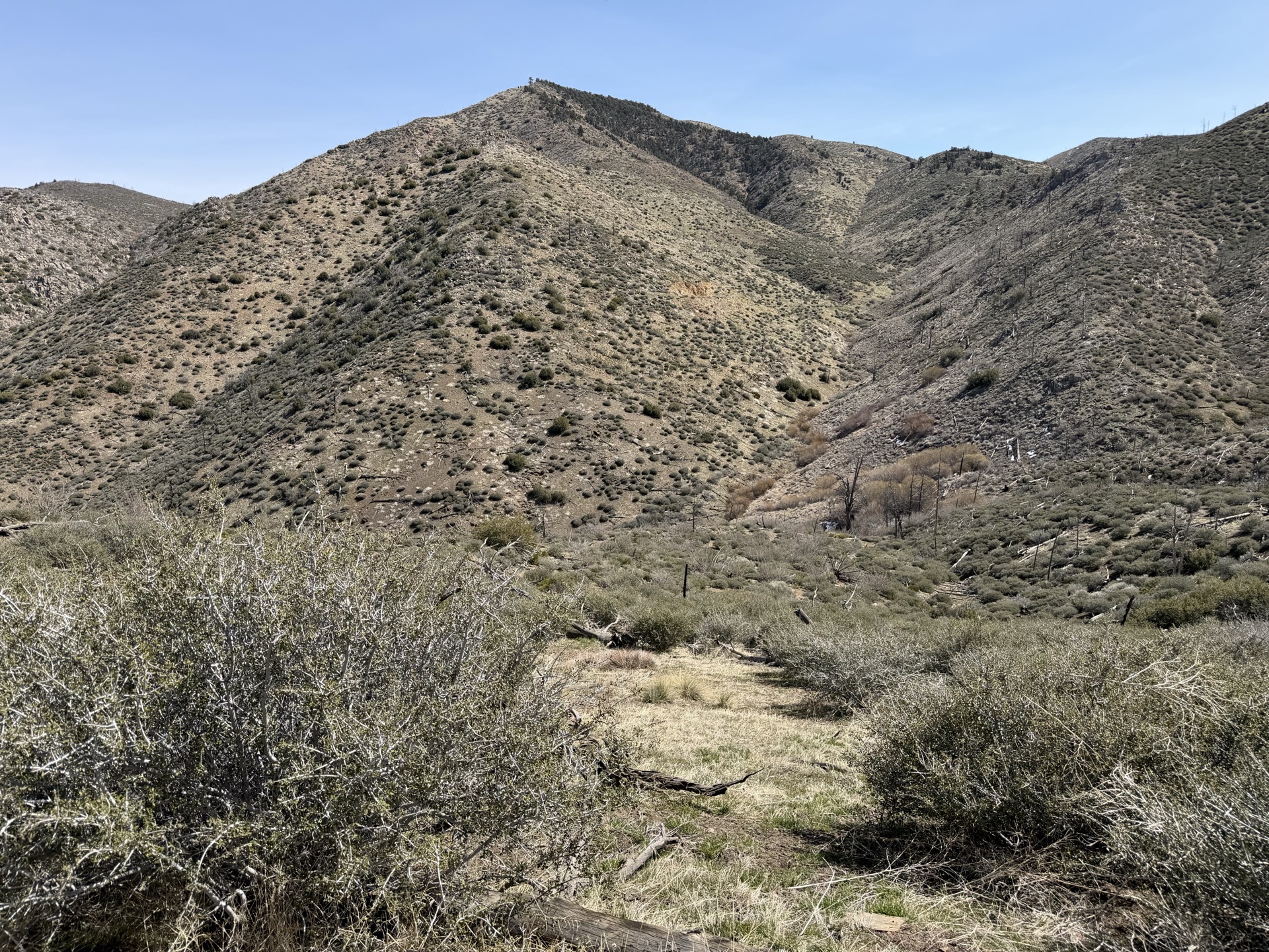
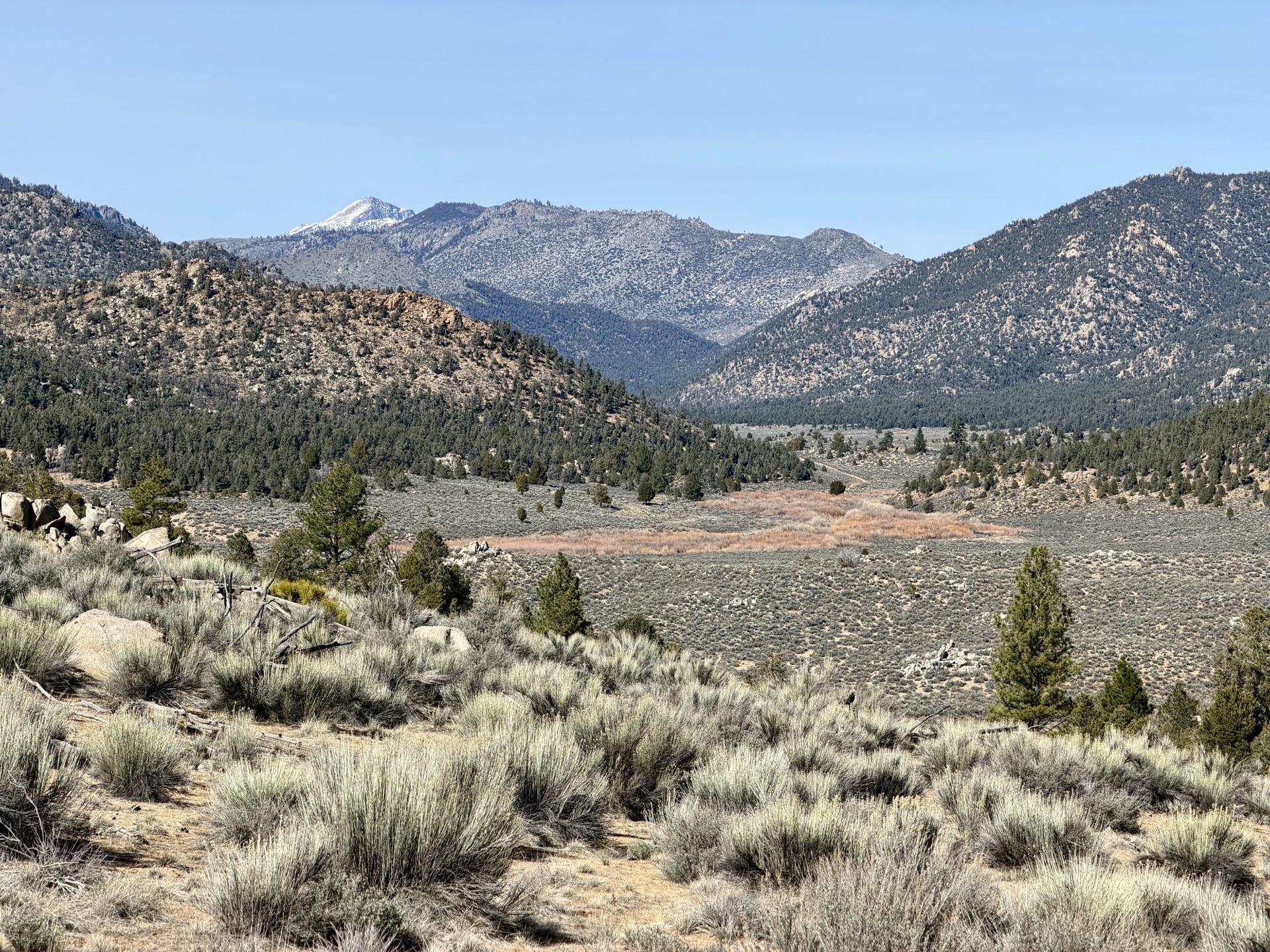
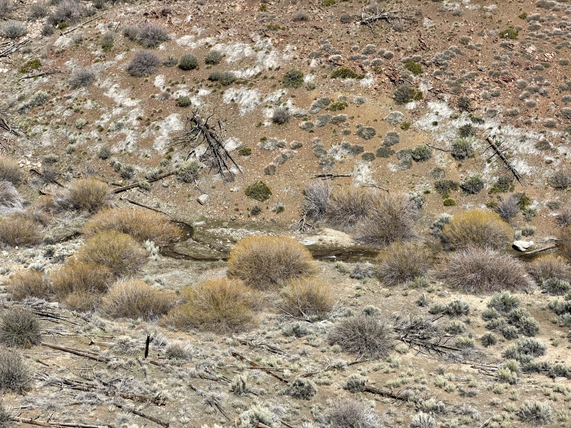
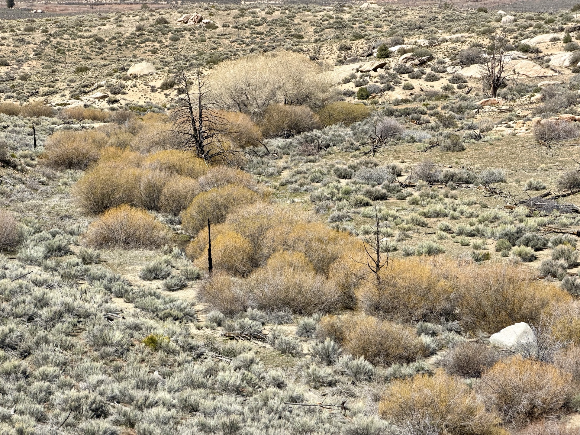
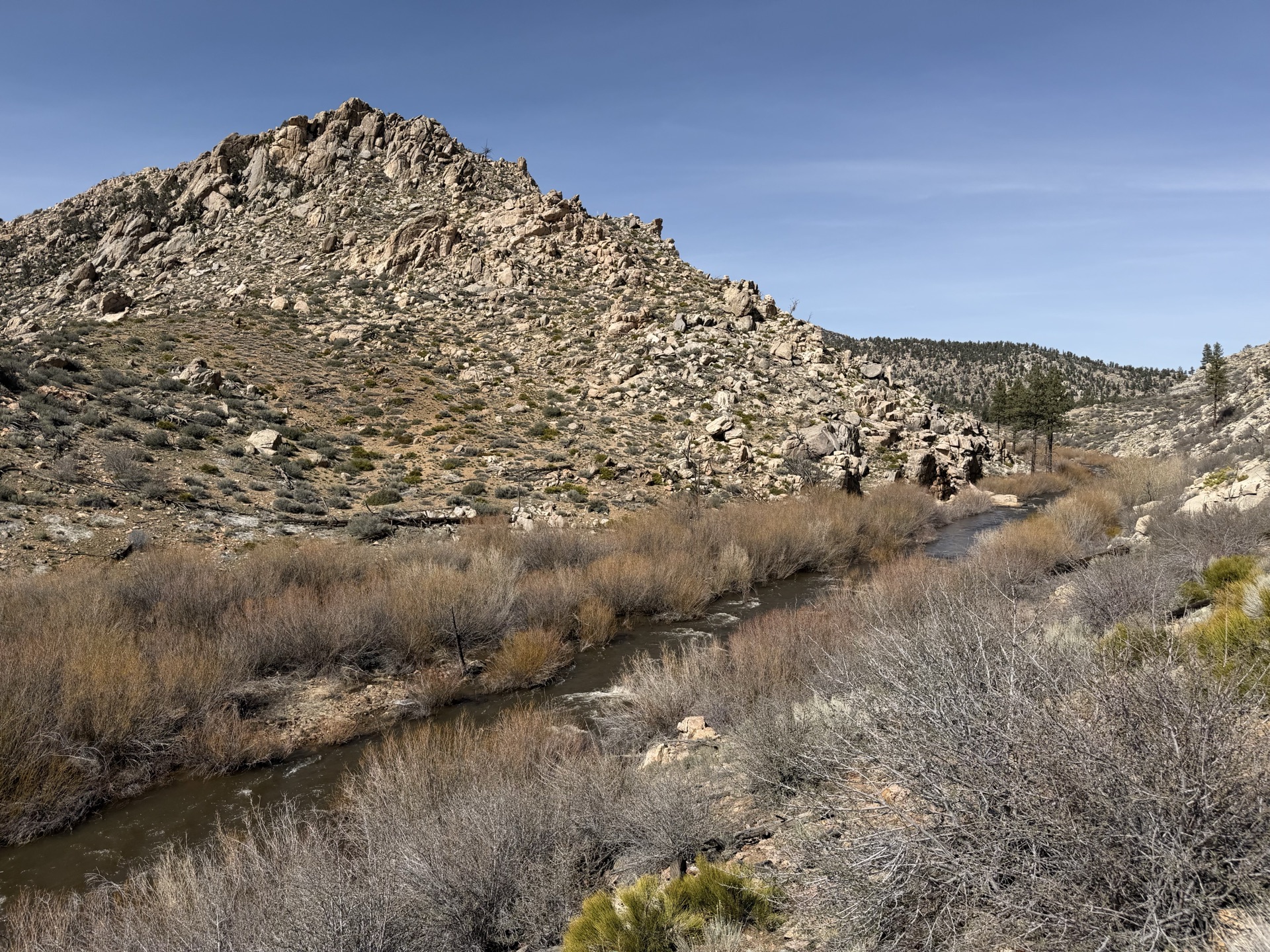
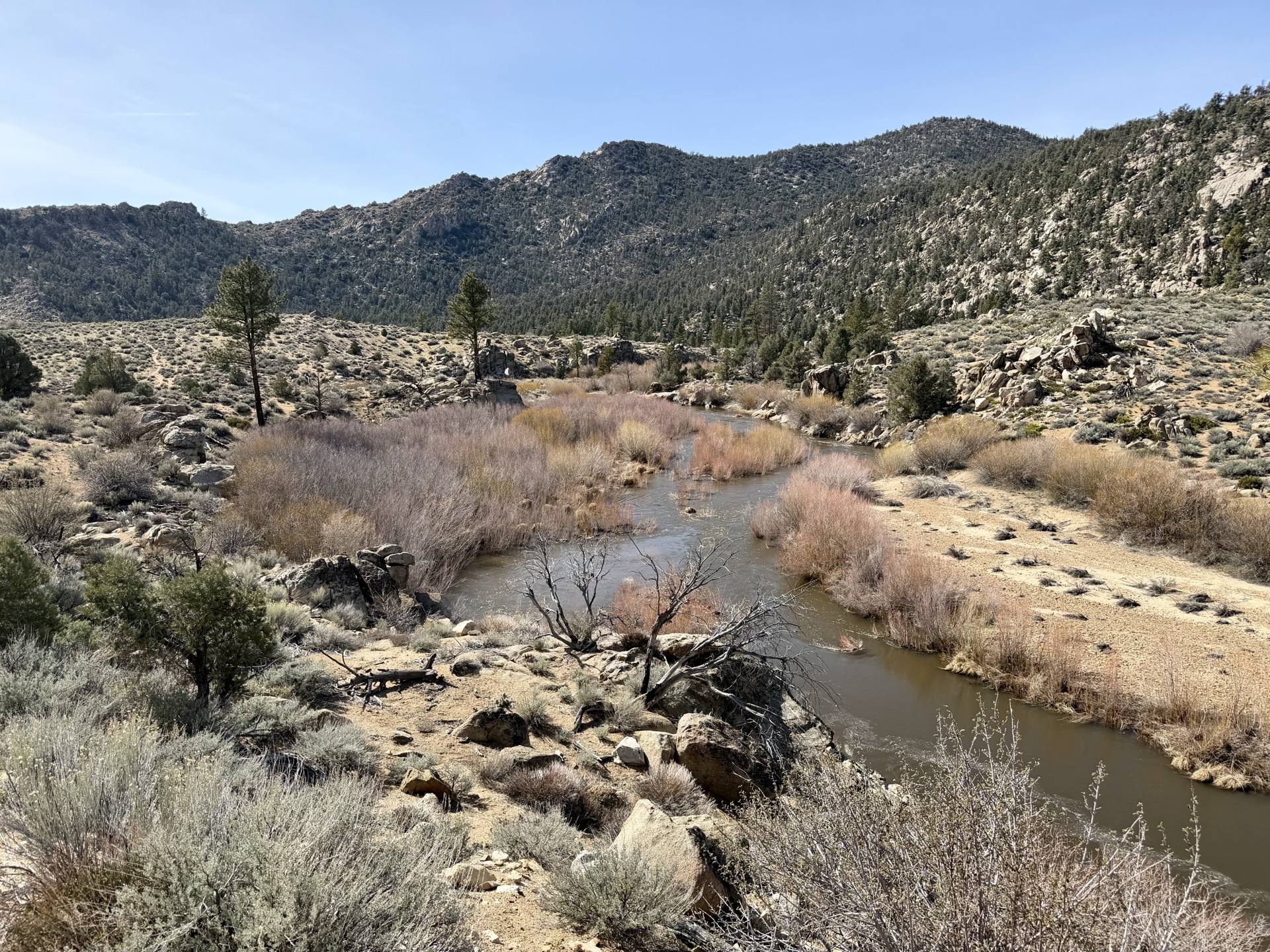
Dry, waterless miles accumulate as I descend toward the South Fork Kern River valley. Far below, willows trace the line of an emerging creek while my trail runs the ridge above — water visible, but unreachable. In later months this terrain is parched and hot, hikers rationing water between rare refills. I reach the valley, filter quickly from the muddy rushing current, and dip my feet into the cold water.
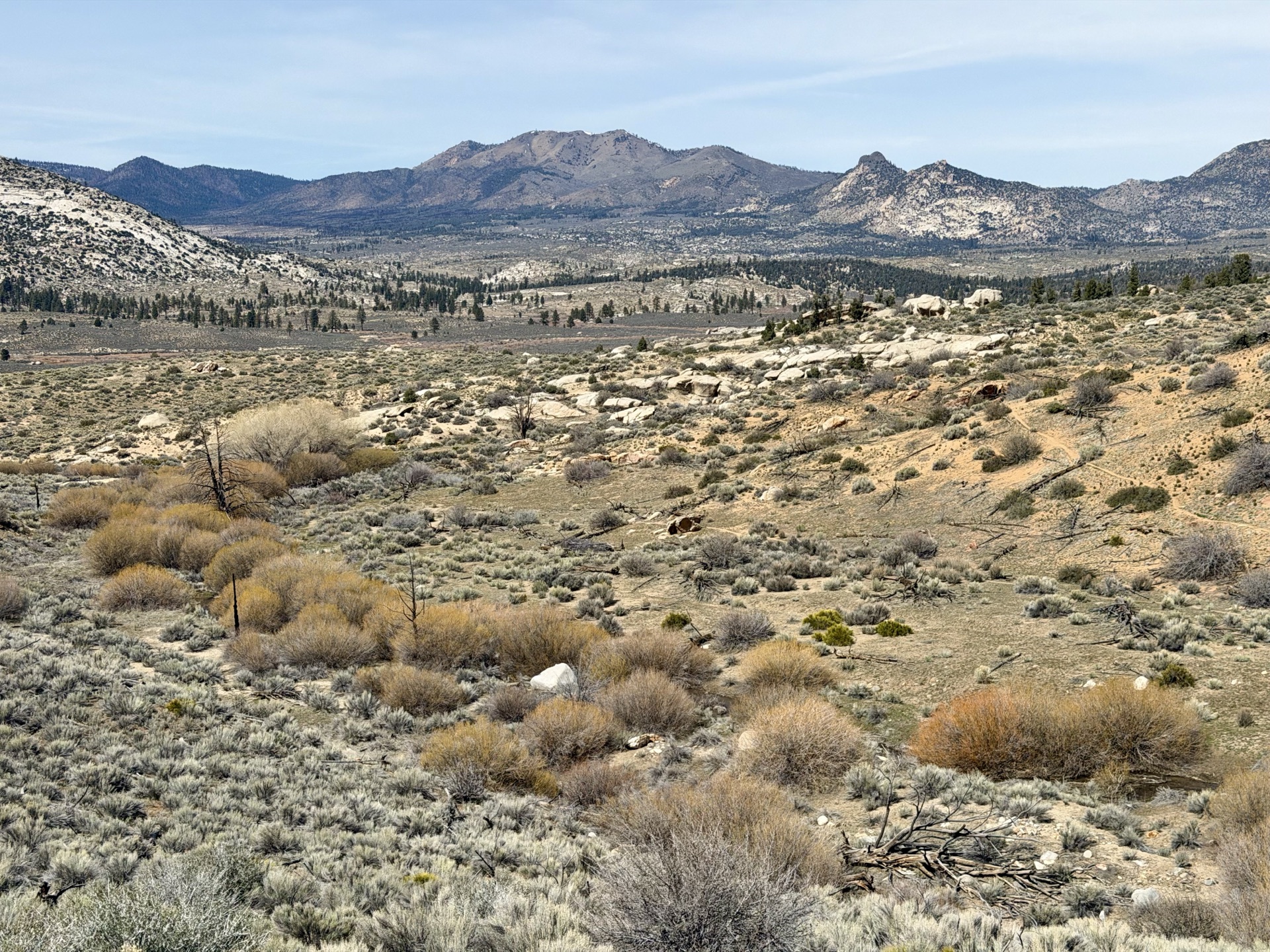
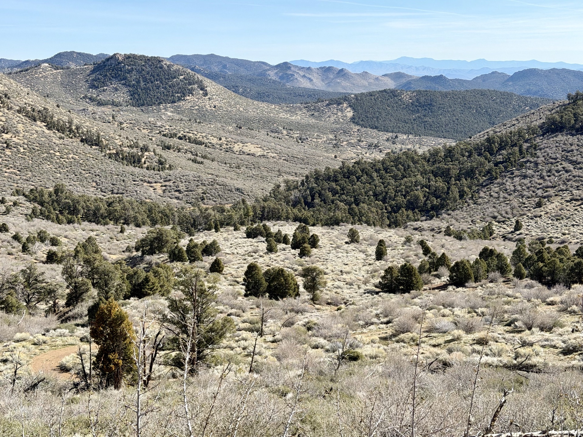
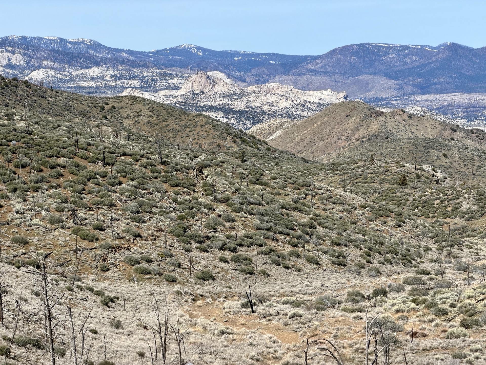
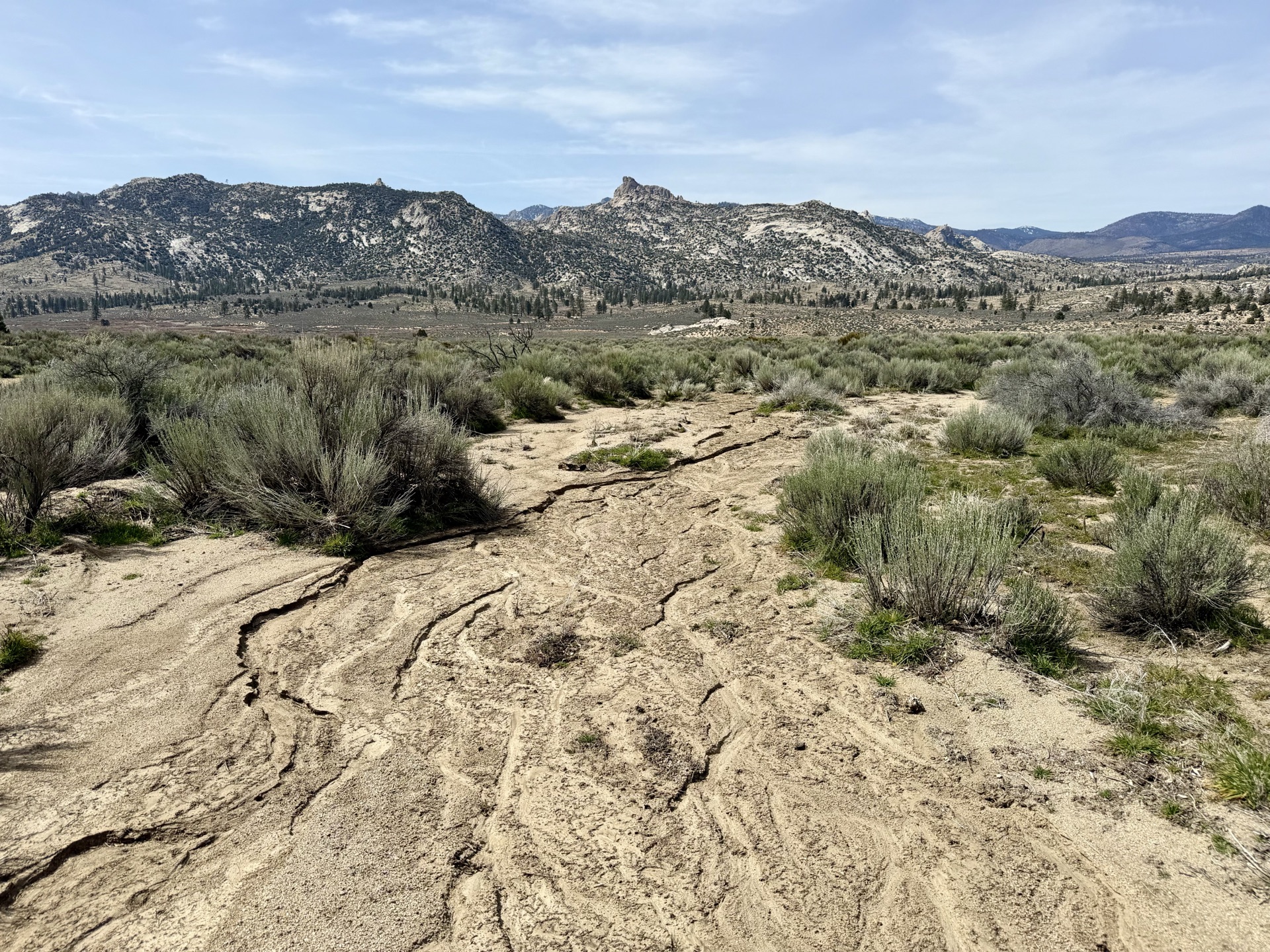
And then I'm at the border of Domeland Wilderness. On the satellite map it looked remarkable — a granite plateau surrounded by forested terrain. In person it's something else entirely. With only a few miles left today, I have a luxury: I slow to a near stop, just soaking it in. It's peaceful, quiet. The sun is warming the desert terrain, and sagebrush leaves a gentle scent on my fingers. A true wonderland.
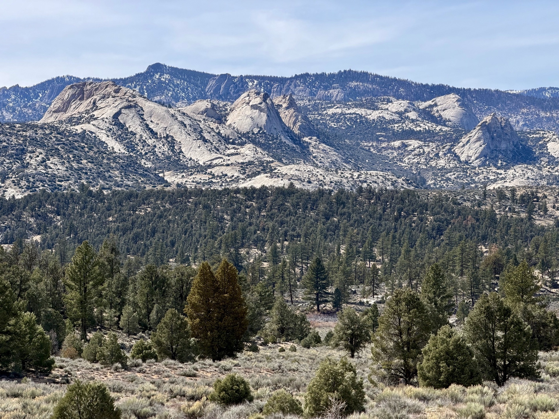
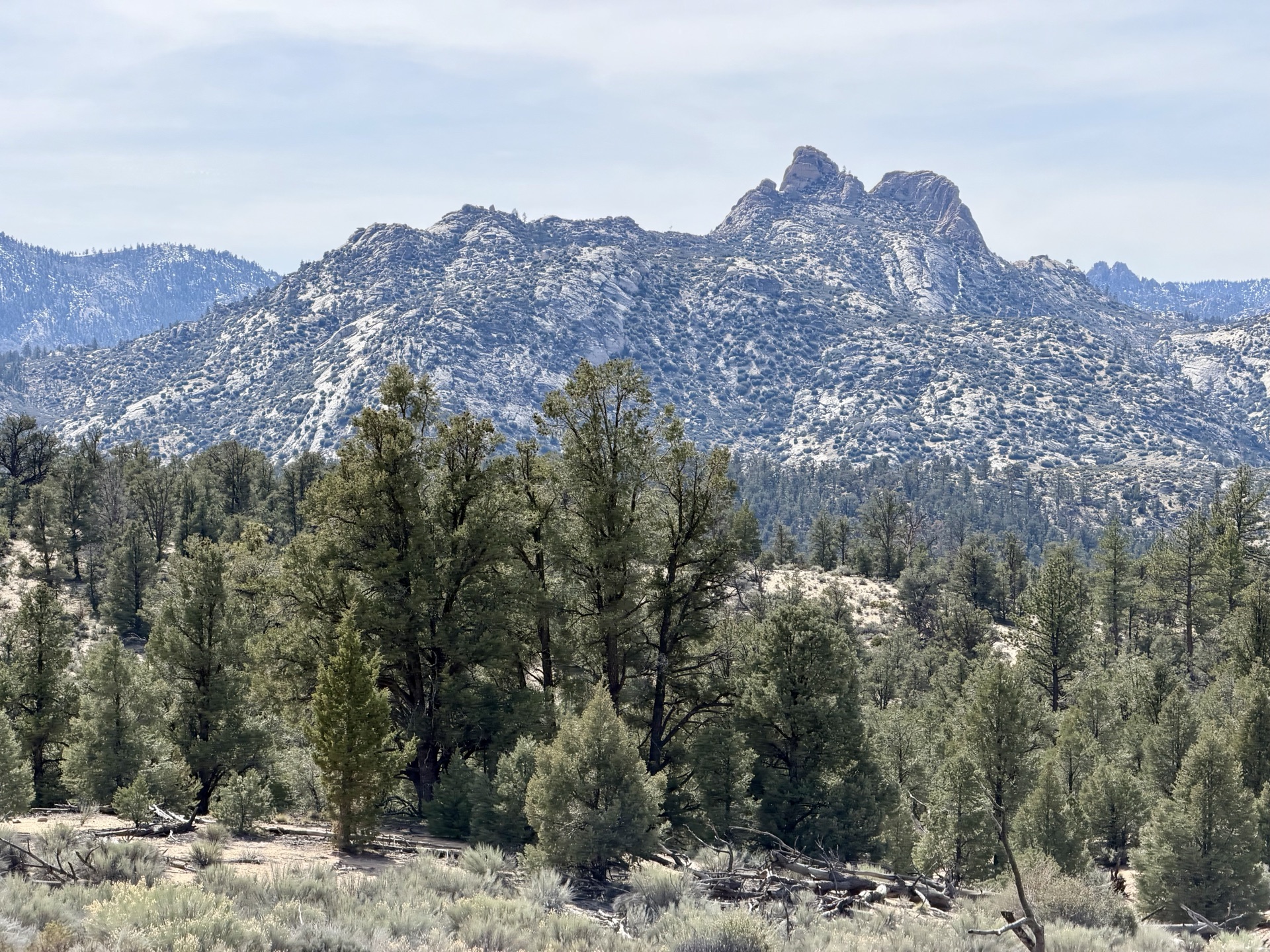
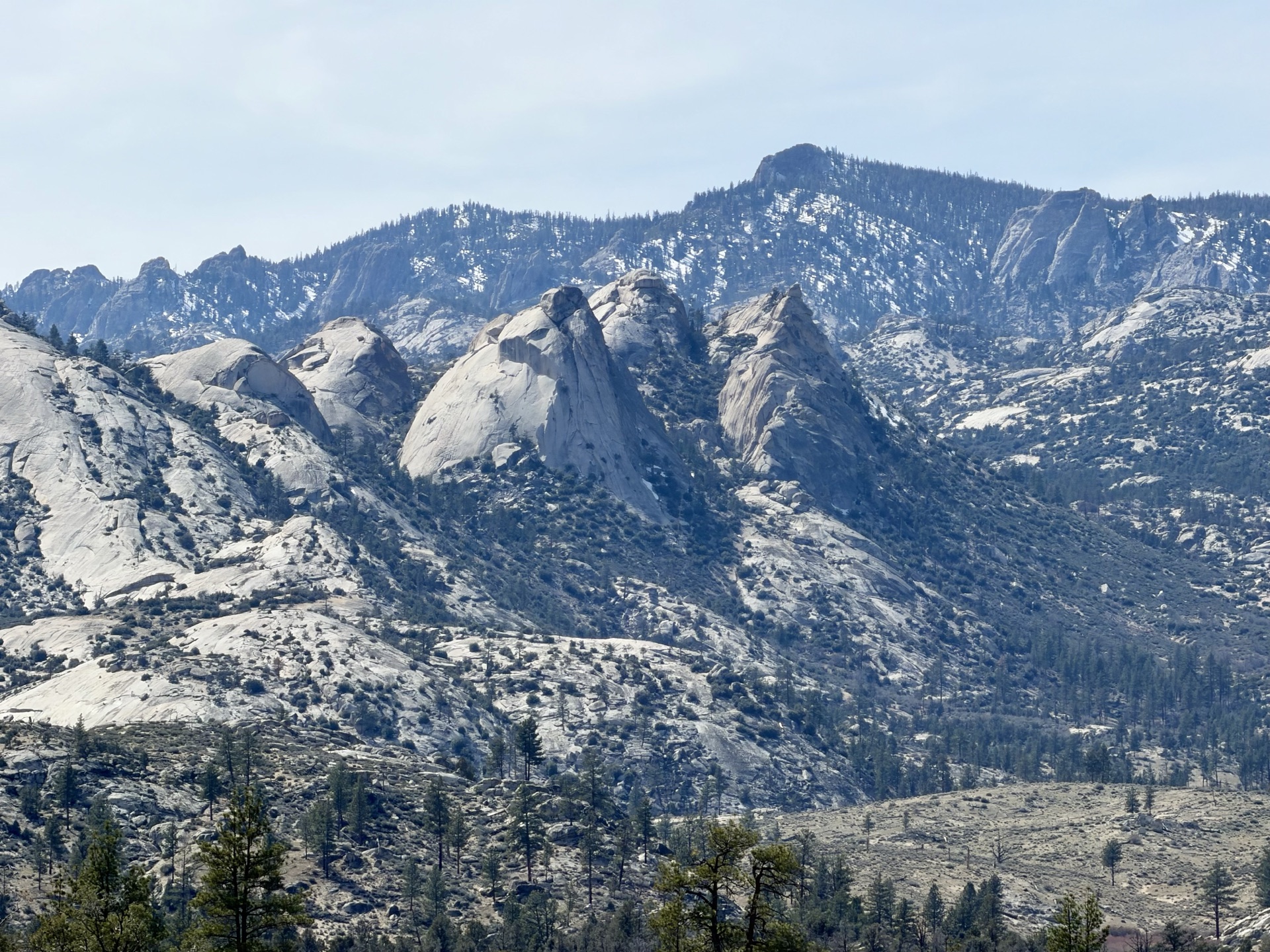
With every step the vista unfolds. Just when I think I've found the best angle on the whole plateau, a better one appears.
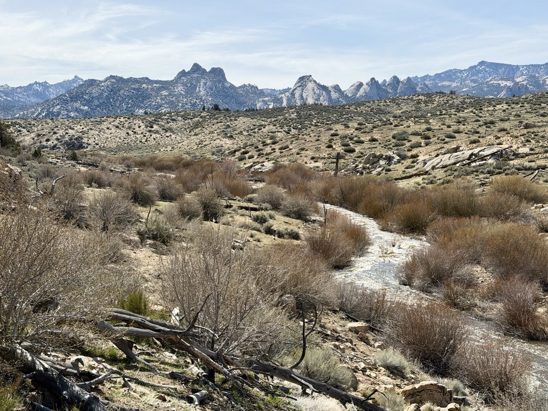
In the distance, the South Fork Kern River comes into view. It's March, and snowmelt is running weeks ahead of schedule — the river is raging. I'd considered a second route through the Domeland requiring a crossing, but one look puts that to rest until next year. Still, running alongside the river is its own reward — terrain rougher and hotter, but the sound of rushing water is a constant comfort, and thirst is never a concern. I find a calm eddy and dip in, washing off two days of dust.
I reach Kennedy Meadows with the sun still high. The drive home will be long and hot — and completely worth it. This trail genuinely surprised me. The southern Sierra doesn't shout, but its voice is clear and distinct.