Pacific Crest Trail is probably the only maintained trail in the southern Sierra. It's a pity, as I have grown to love this remote desert range. Reading trail reviews of other trails turns up words like "overgrown," "burned," "scrambling." It's hard to know what is passable. Calling rangers does not help much either.
So for the next 100 miles I will continue on the PCT. Today's trail crosses Owens Peak Wilderness, from Walker Pass to Chimney Creek Wilderness. Expect hot trails, very little water, and a perfectly runnable path.
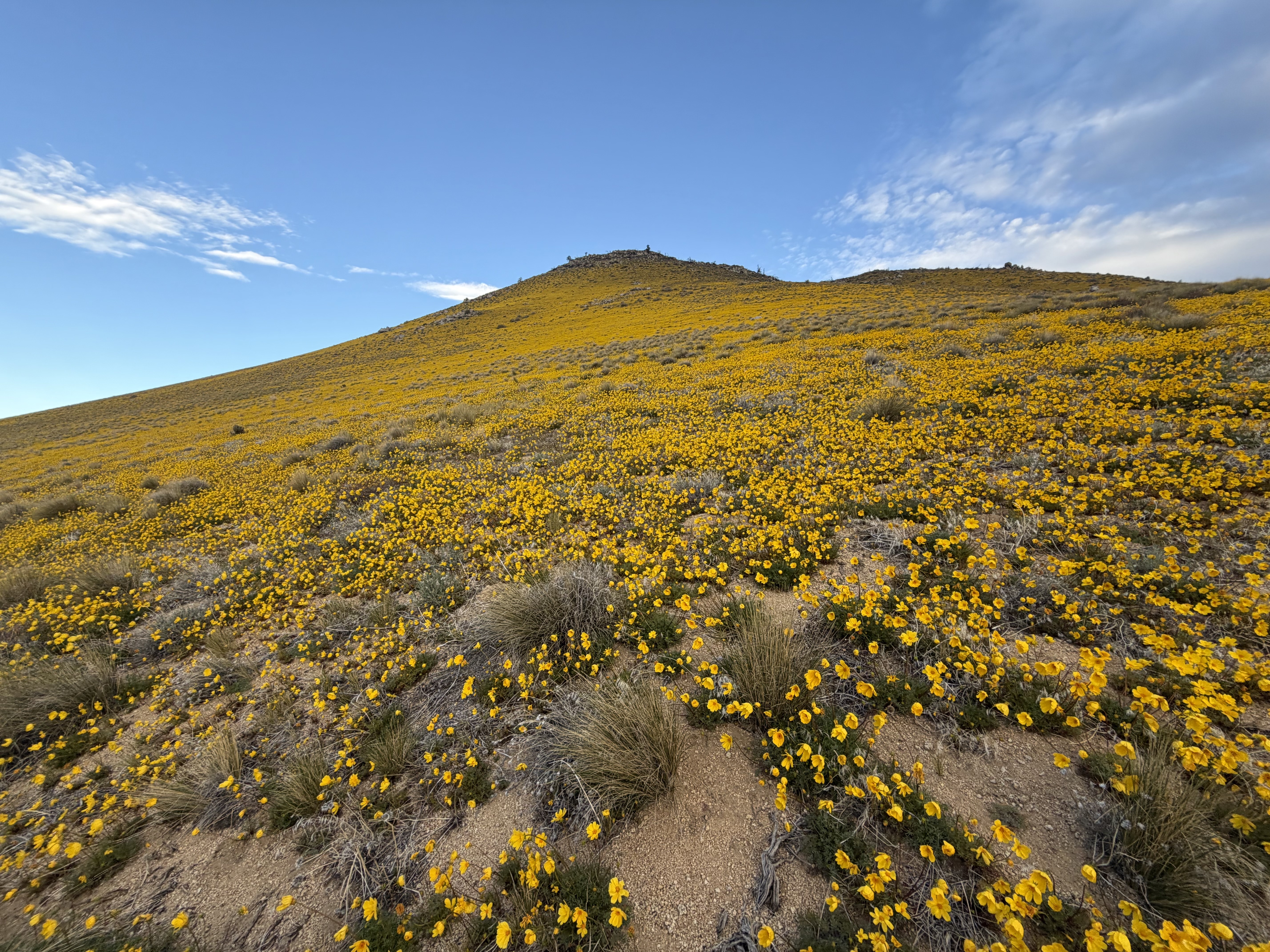
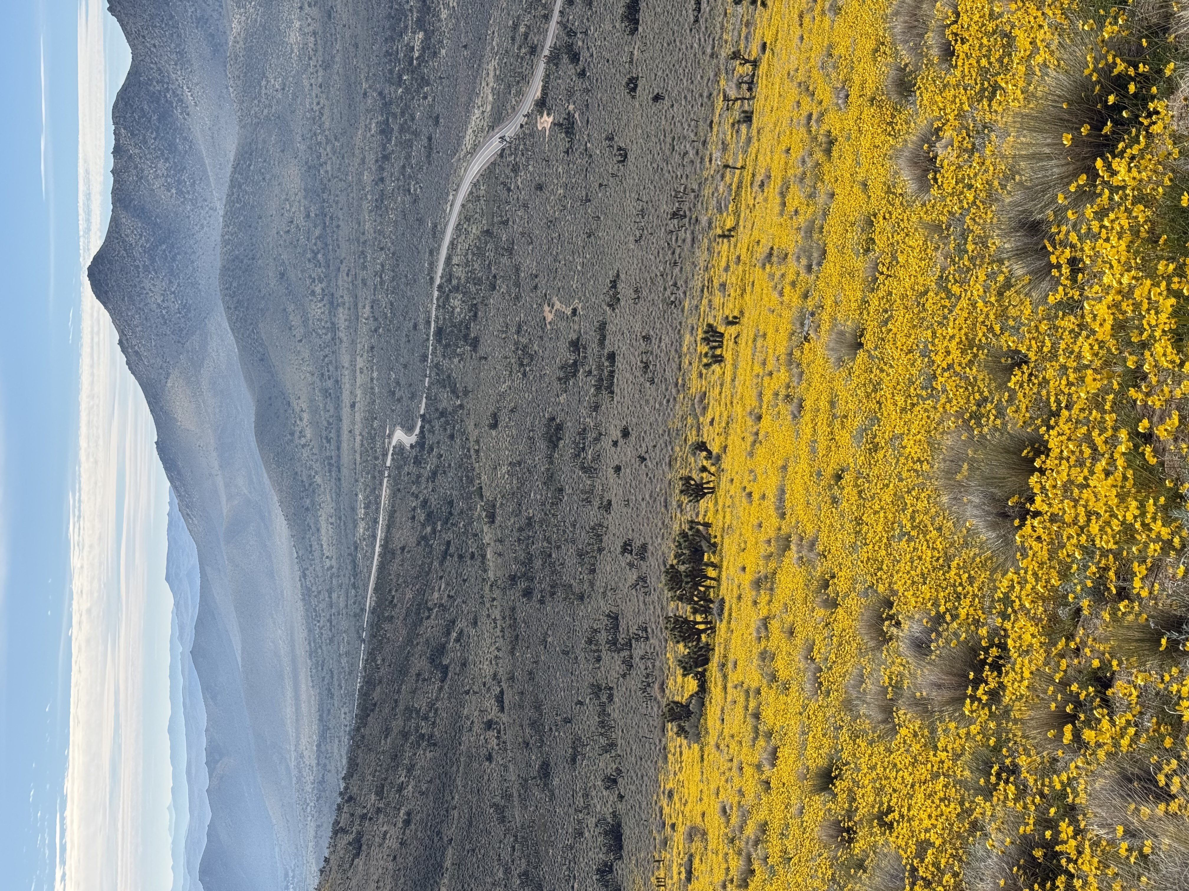
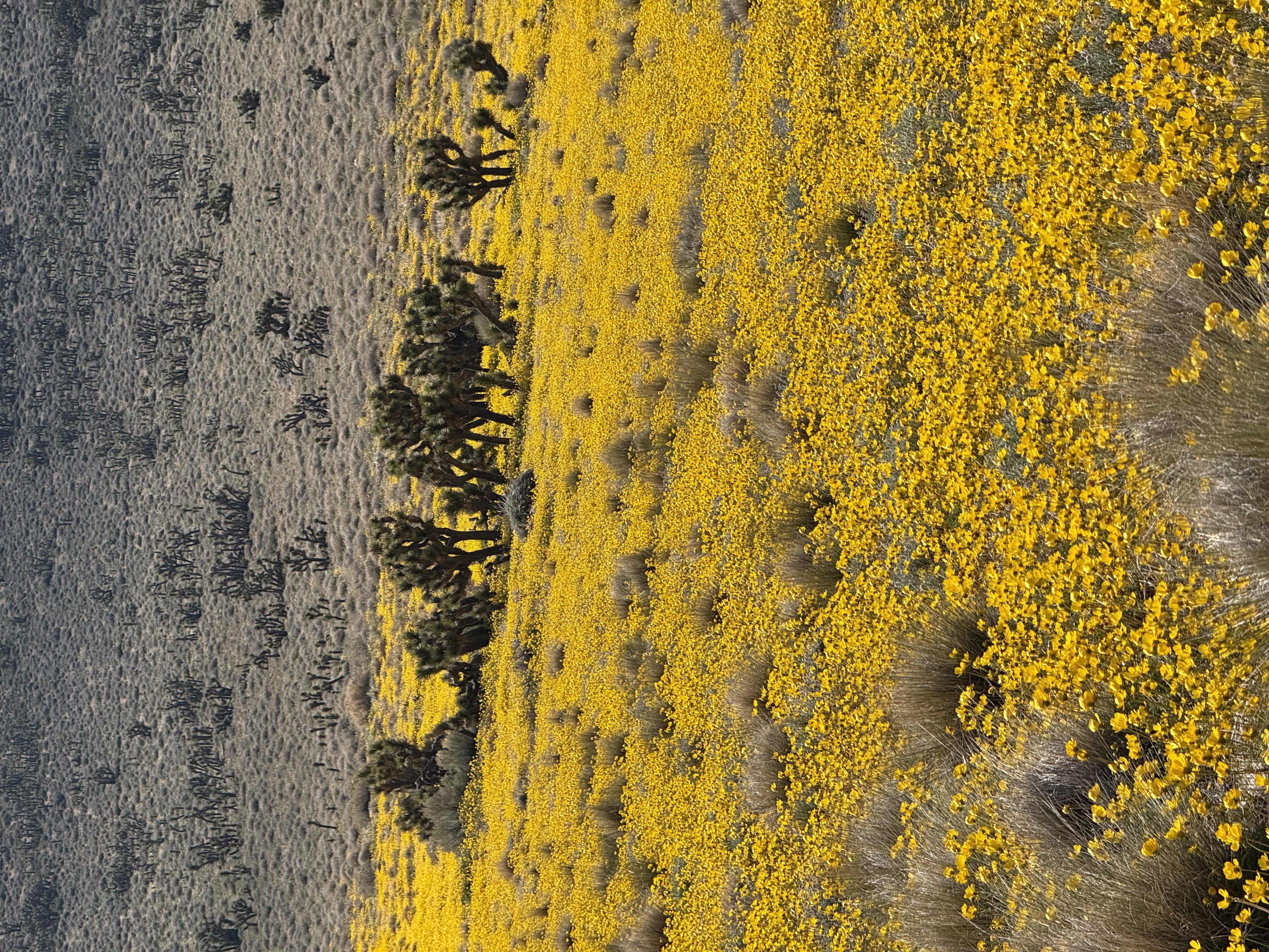
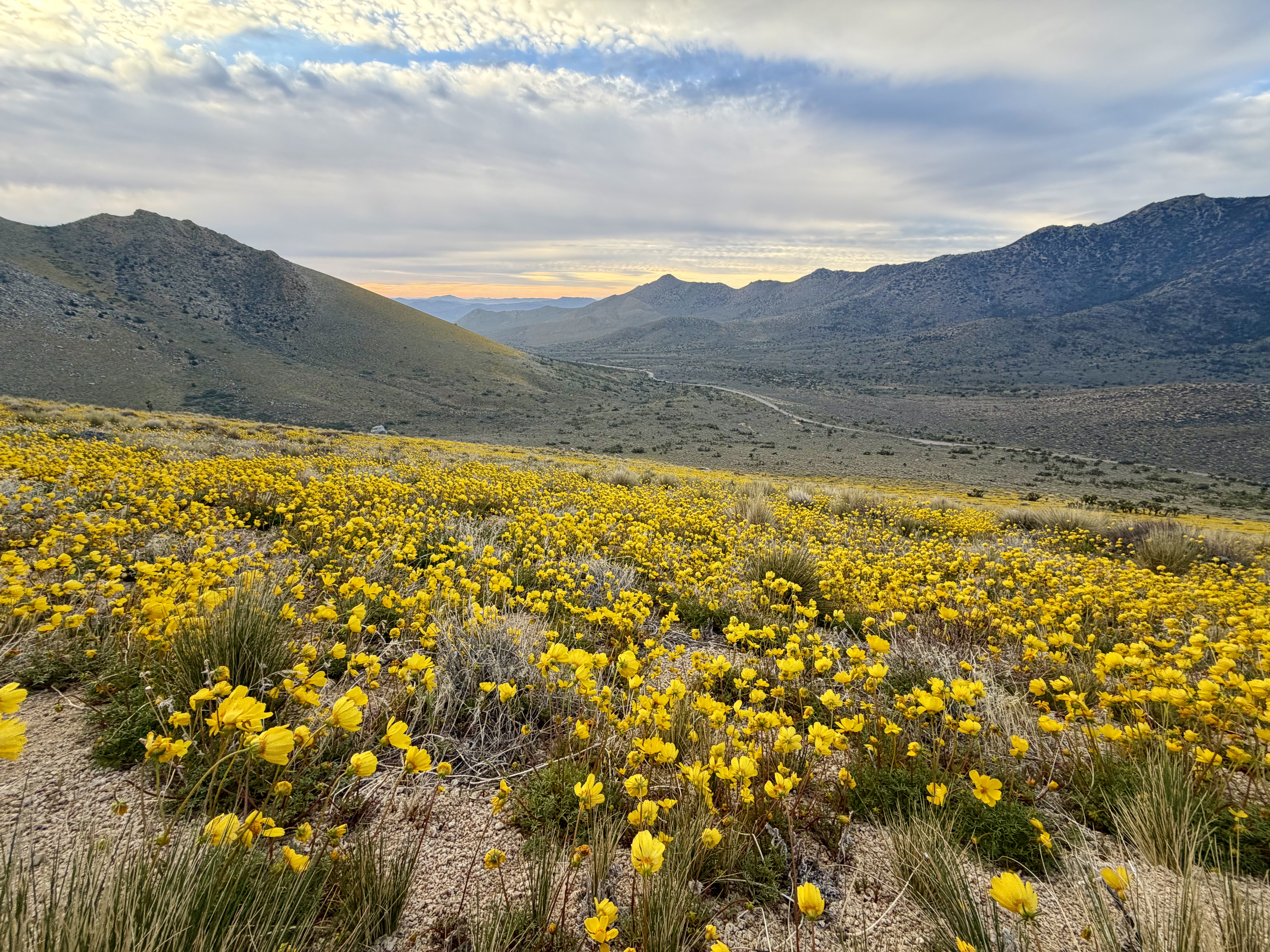
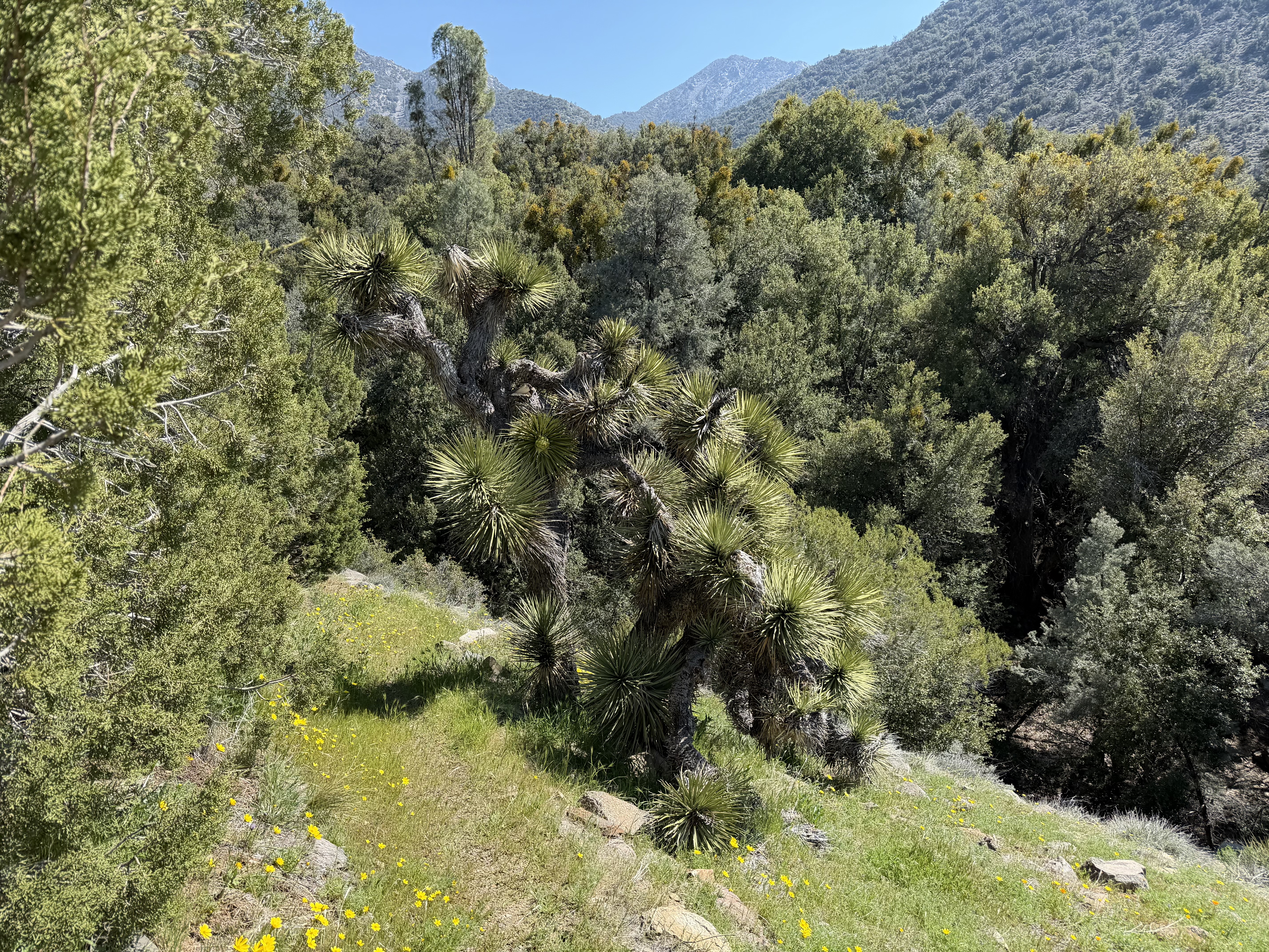
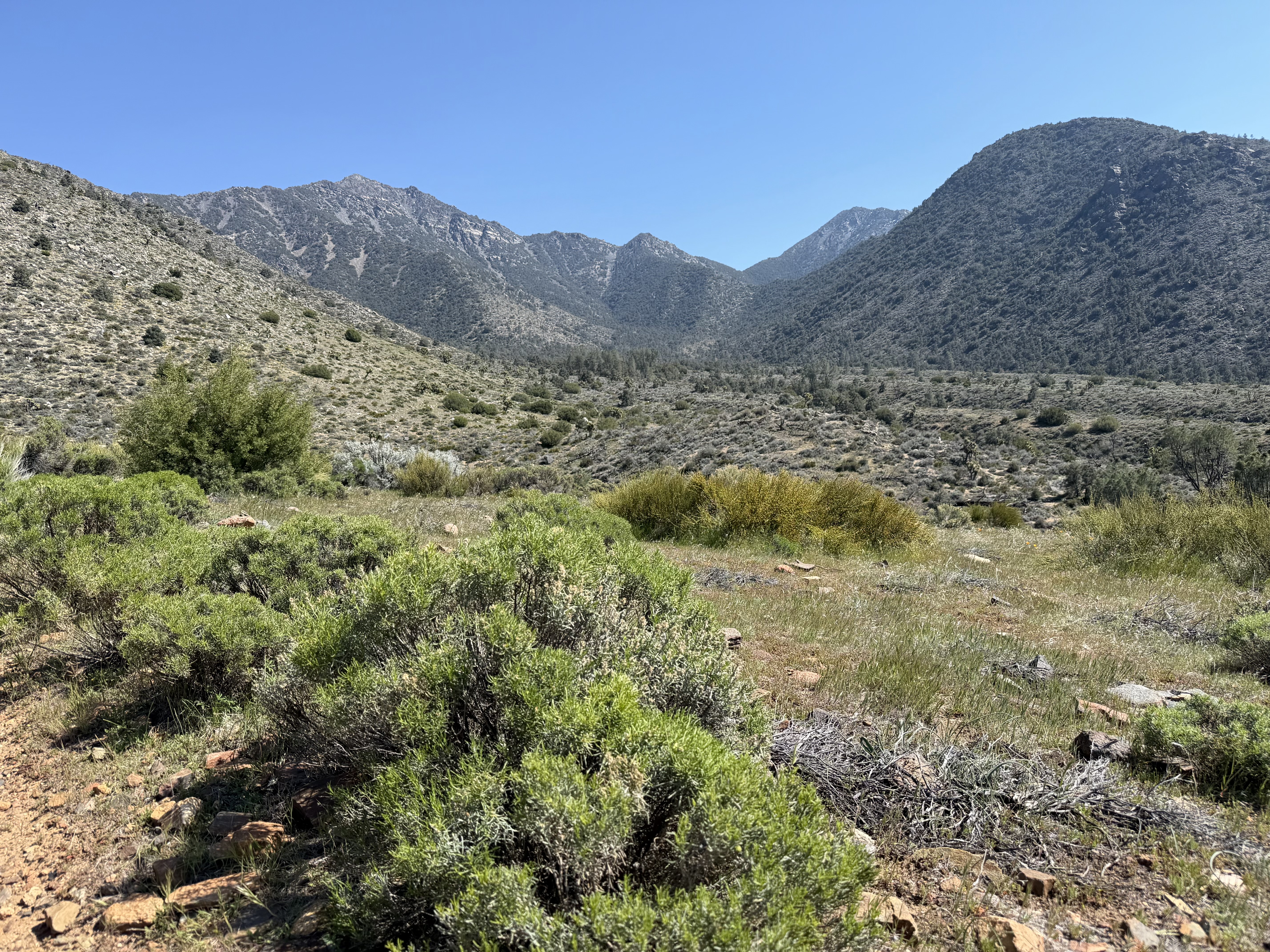
I start after sunrise, and it's one of the best trail decisions I have ever made. The initial mile is covered in golden Bigelow's Tickseed (Leptosyne bigelovii). Joshua trees are surrounded by a blanket of flowers, creating a spectacular contrast. Desert meets mountain slopes. By the time the first PCT hikers arrive, this sight will be long gone.
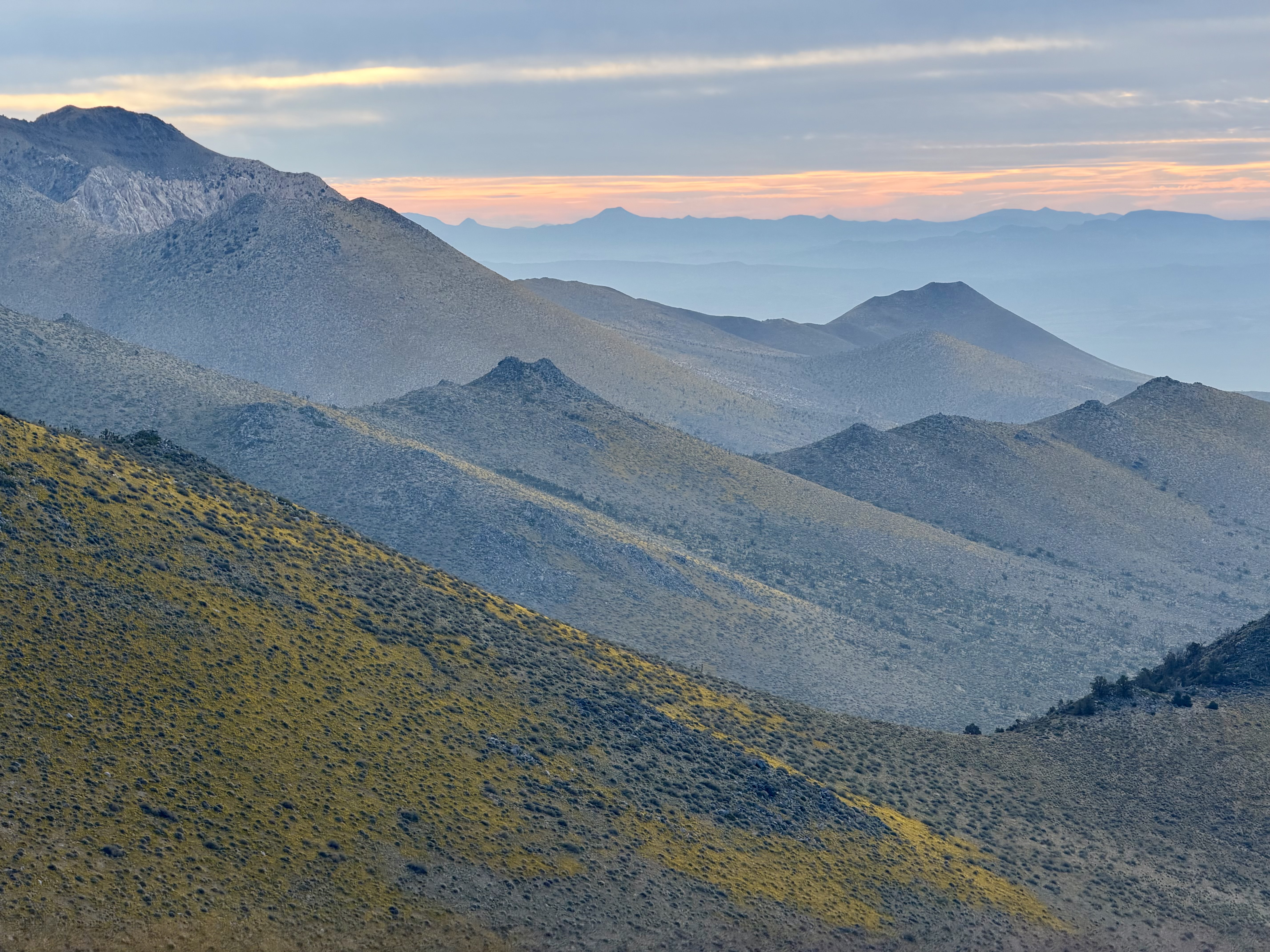
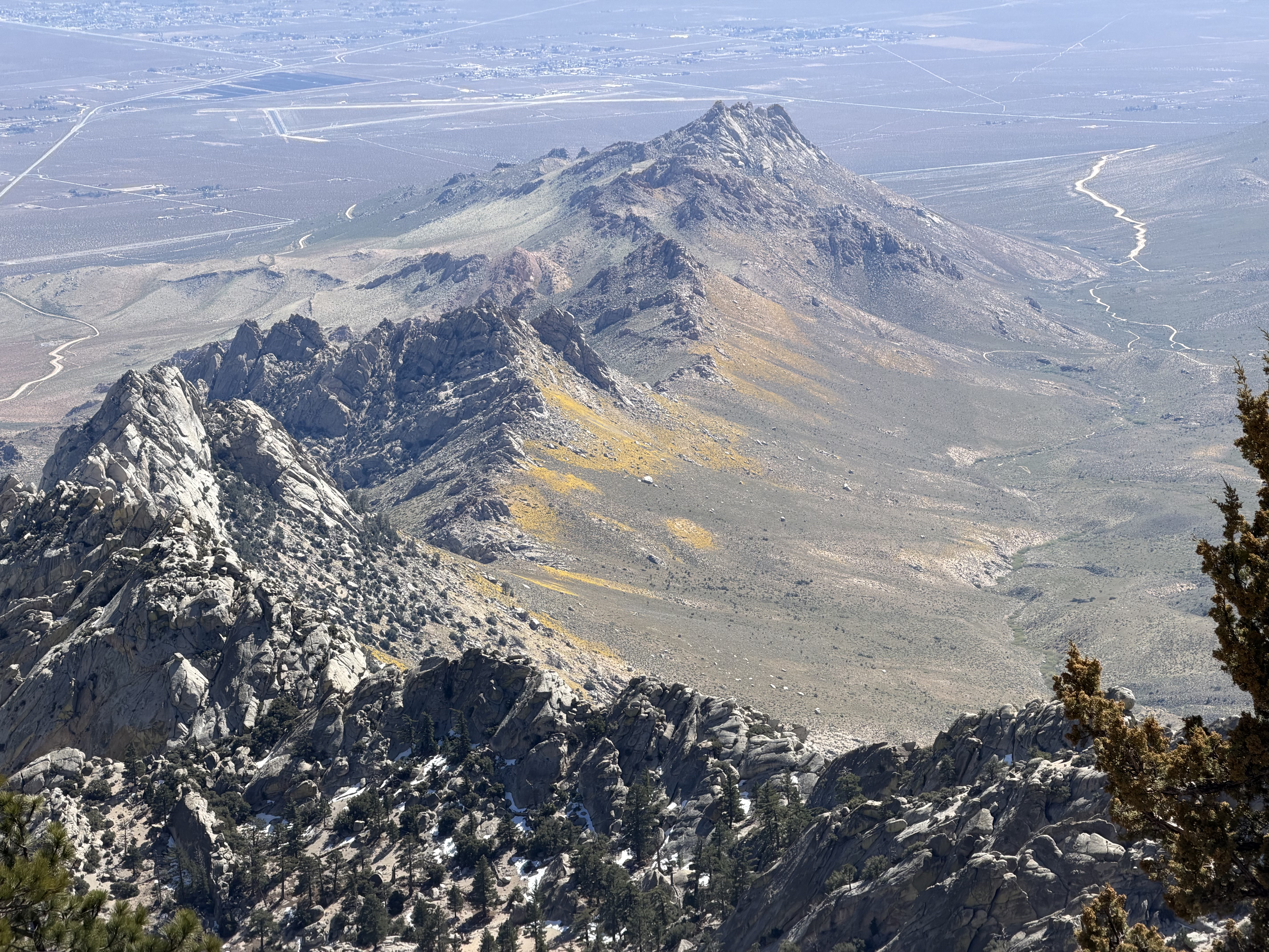
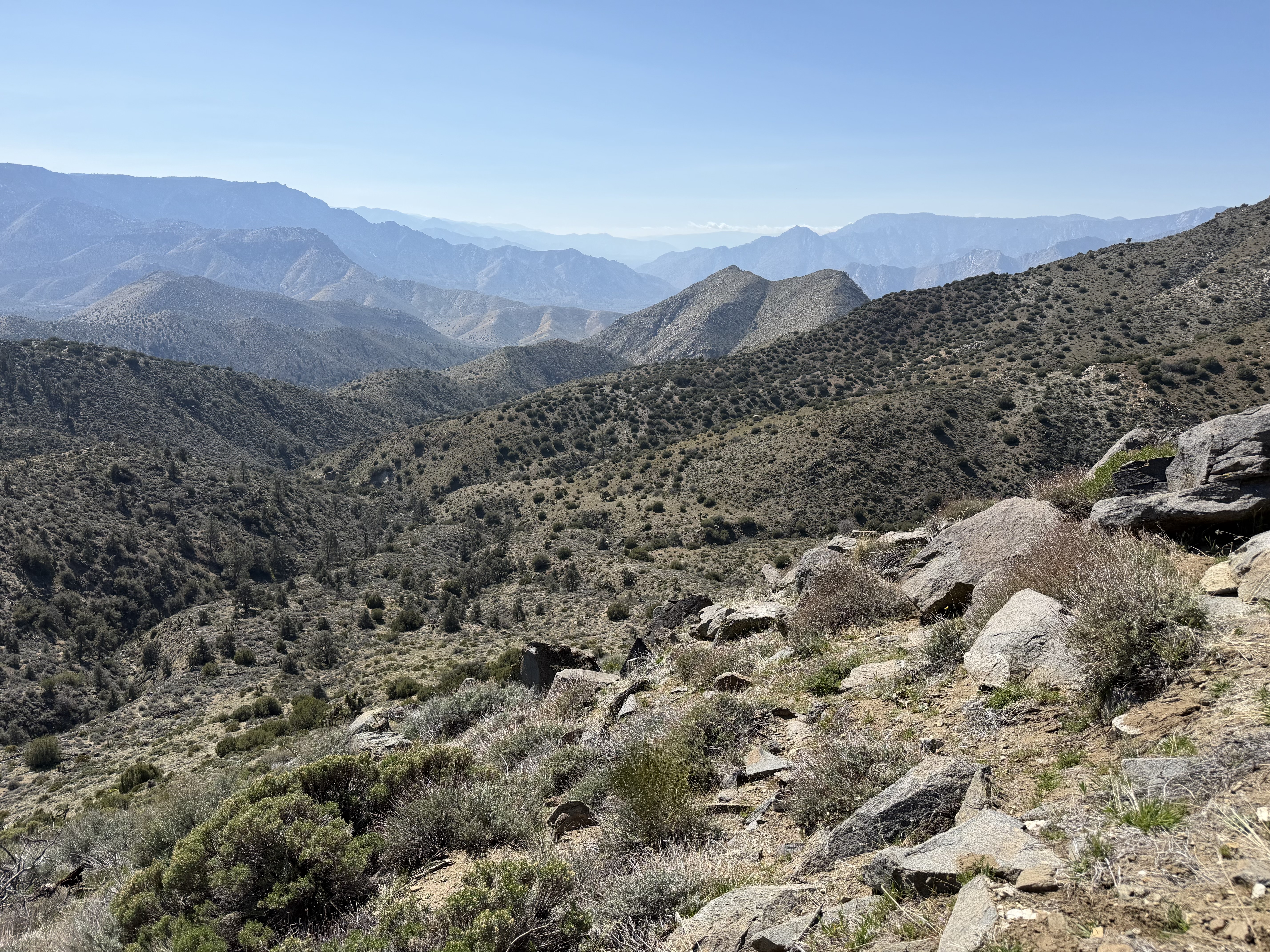
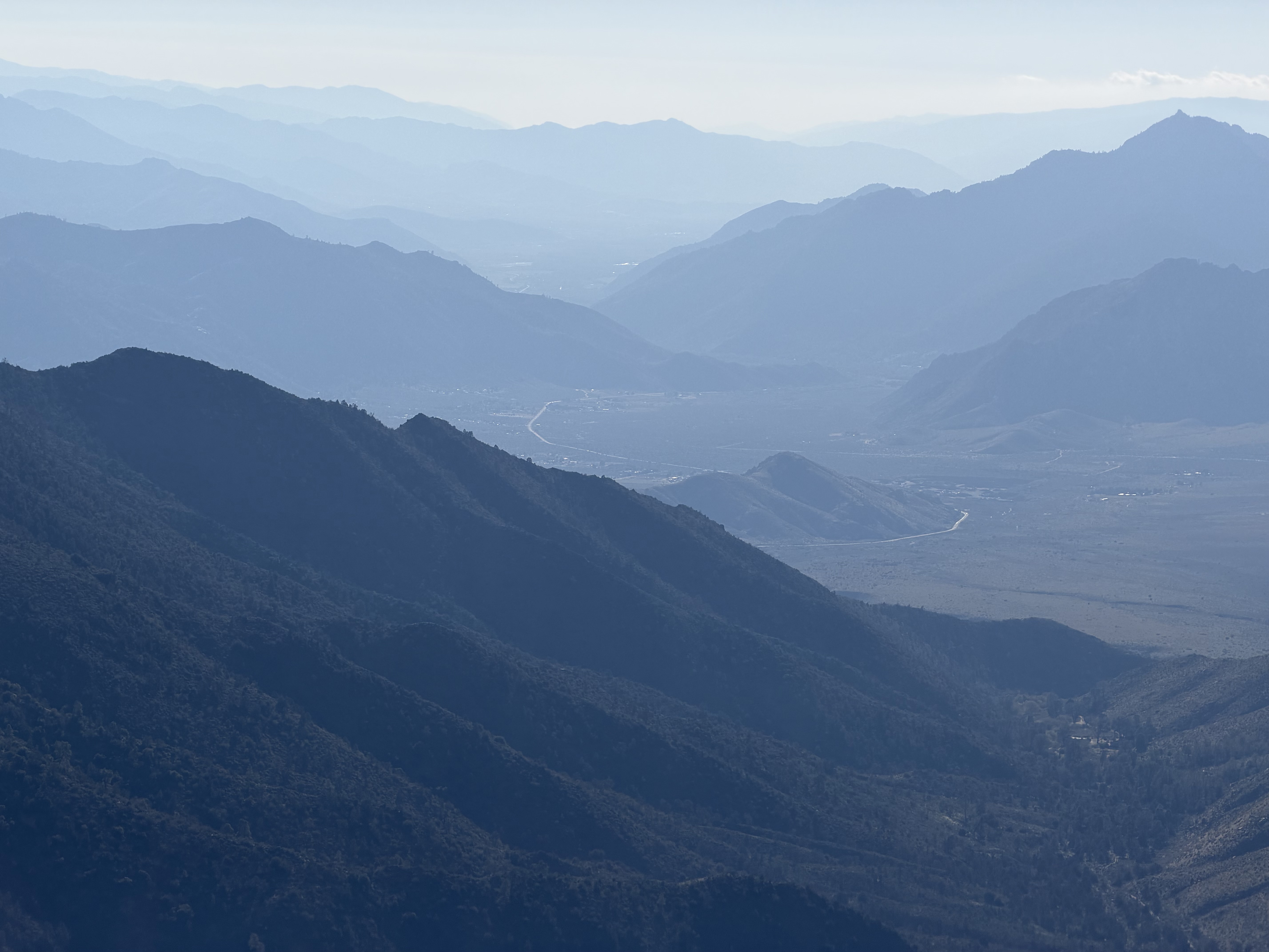
I continue on perfect ridge trails, slowly gaining elevation. My first goal of the day is Owens Peak — a short 2-mile detour from the trail. From the pass there is a tiny hikers' trail, marked with cairns. Overall, it's a steep, grueling climb, gaining 1,400 feet in about a mile. It takes me over an hour to reach the summit. Views from the summit reveal more flower-bloomed slopes and the dusty Owens River valley. I linger at the summit just a bit longer than I usually would.
I start after sunrise, and it's one of the best trail decisions I have ever made.
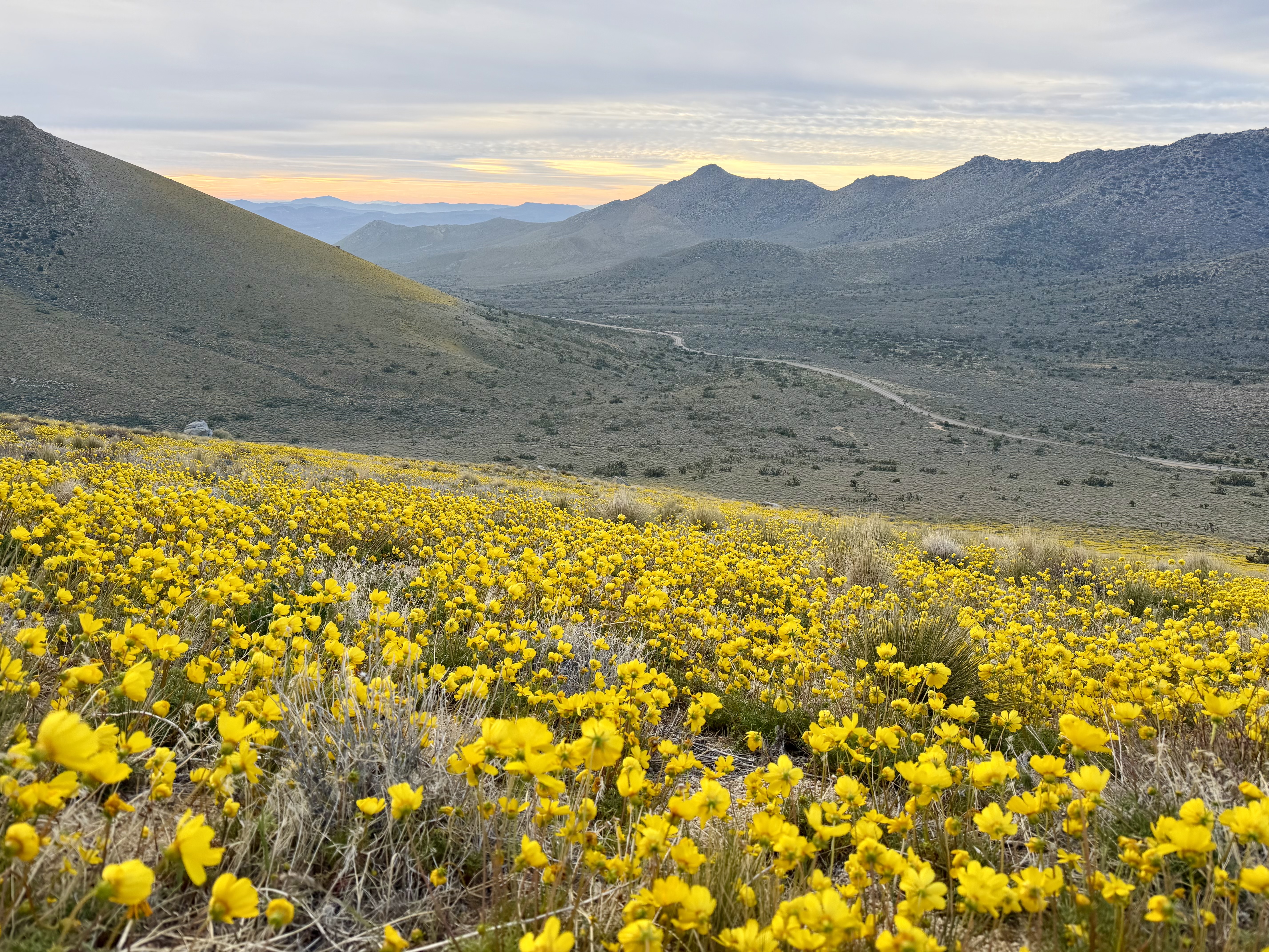
I rejoin the main trail, and from there it is very straightforward — follow ridges and dip into valleys. It's early spring and the tiny creeks are running, so I have plenty of water refills. PCT hikers would depend on Joshua Tree Spring — a lovely tiny creek, or a quite bad looking water tank if the creek is dry.
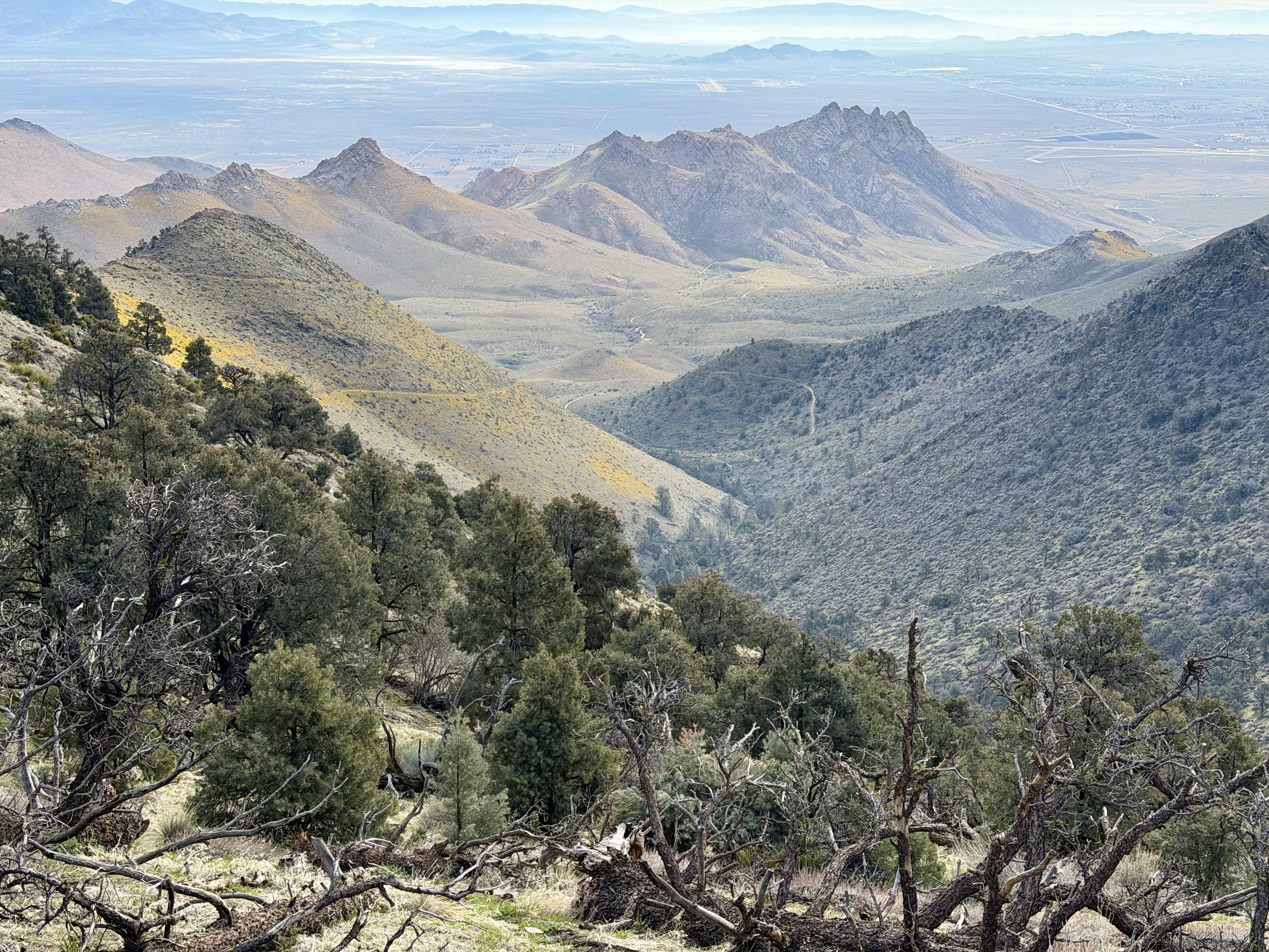
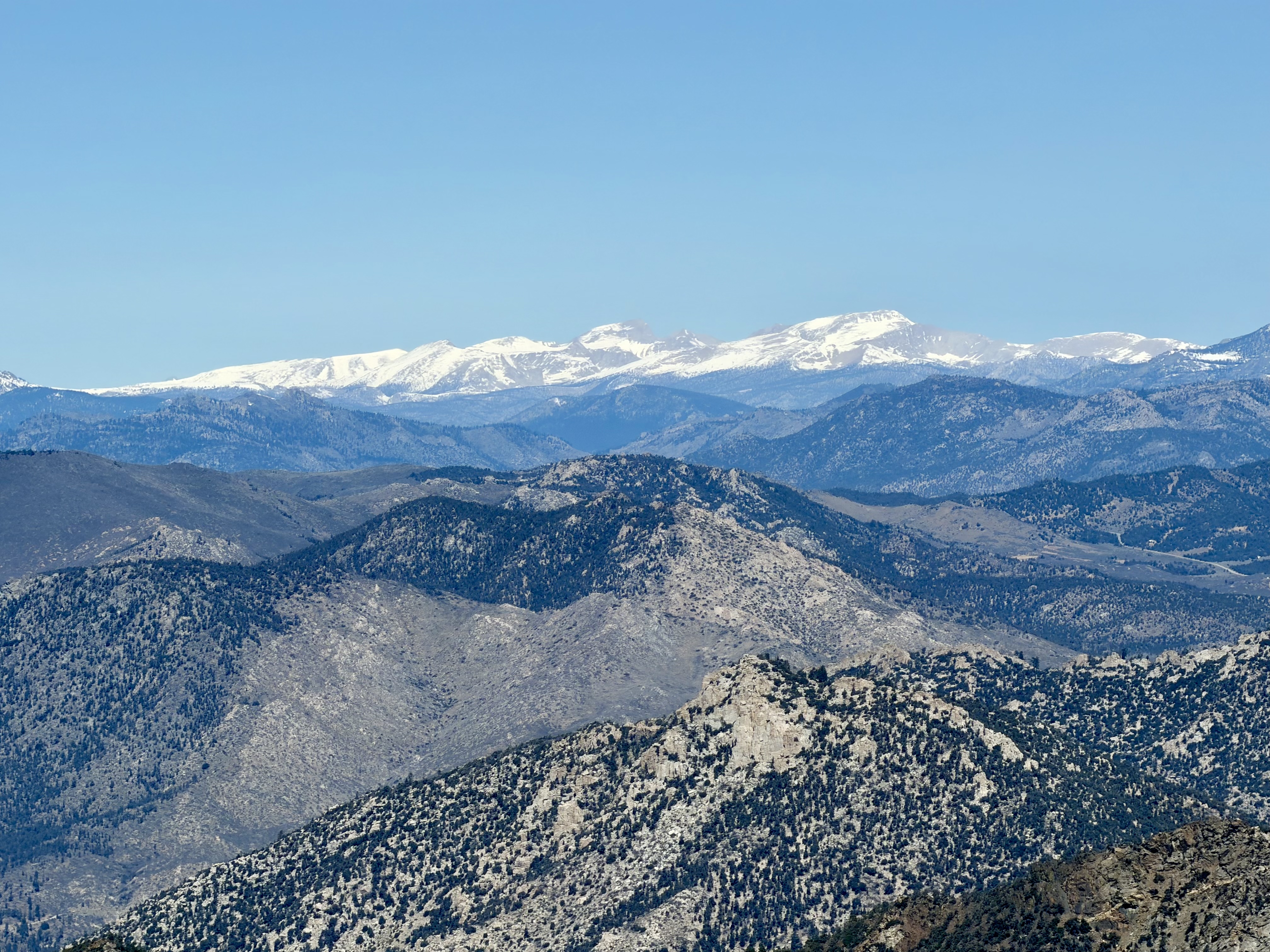
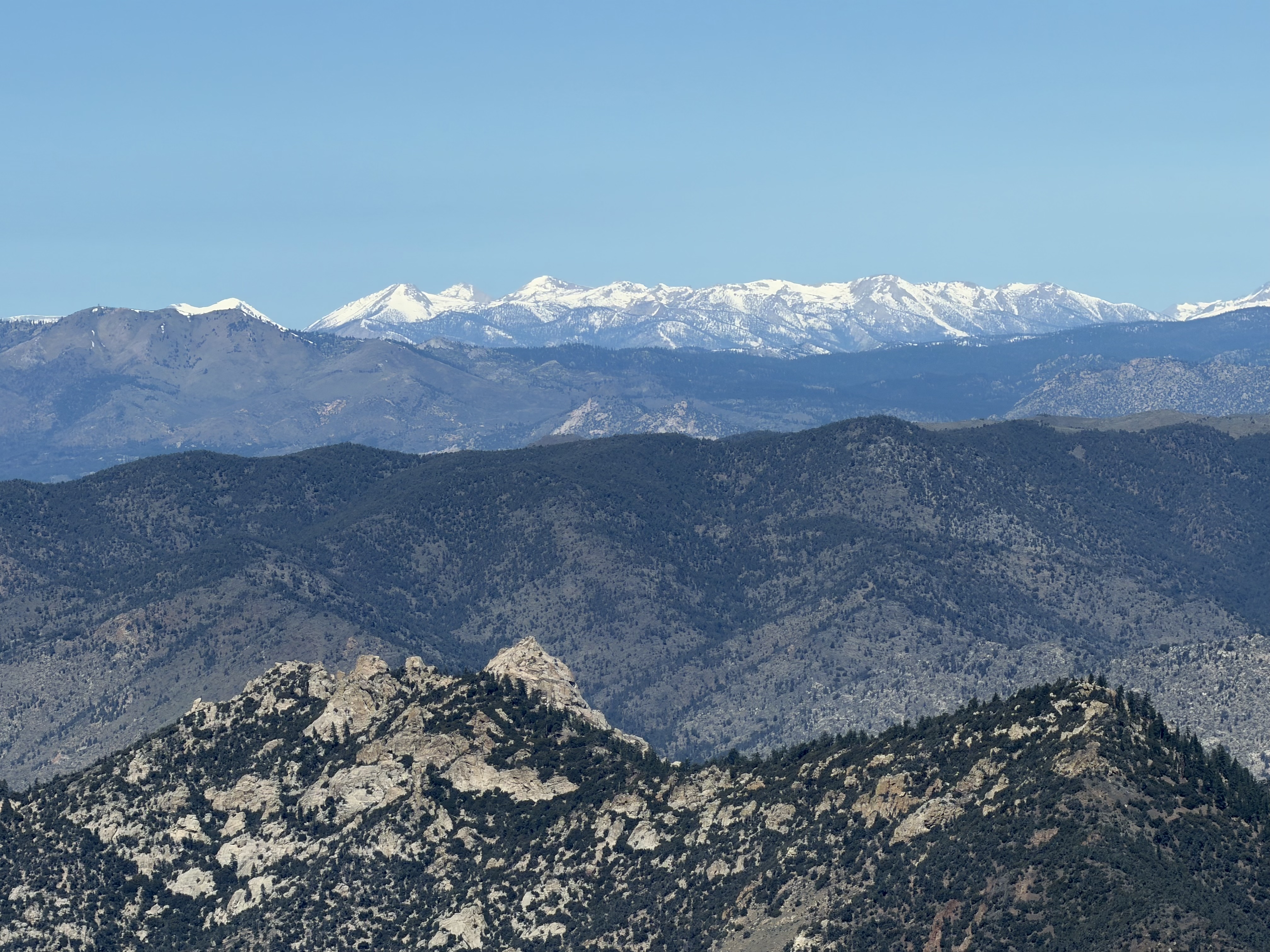
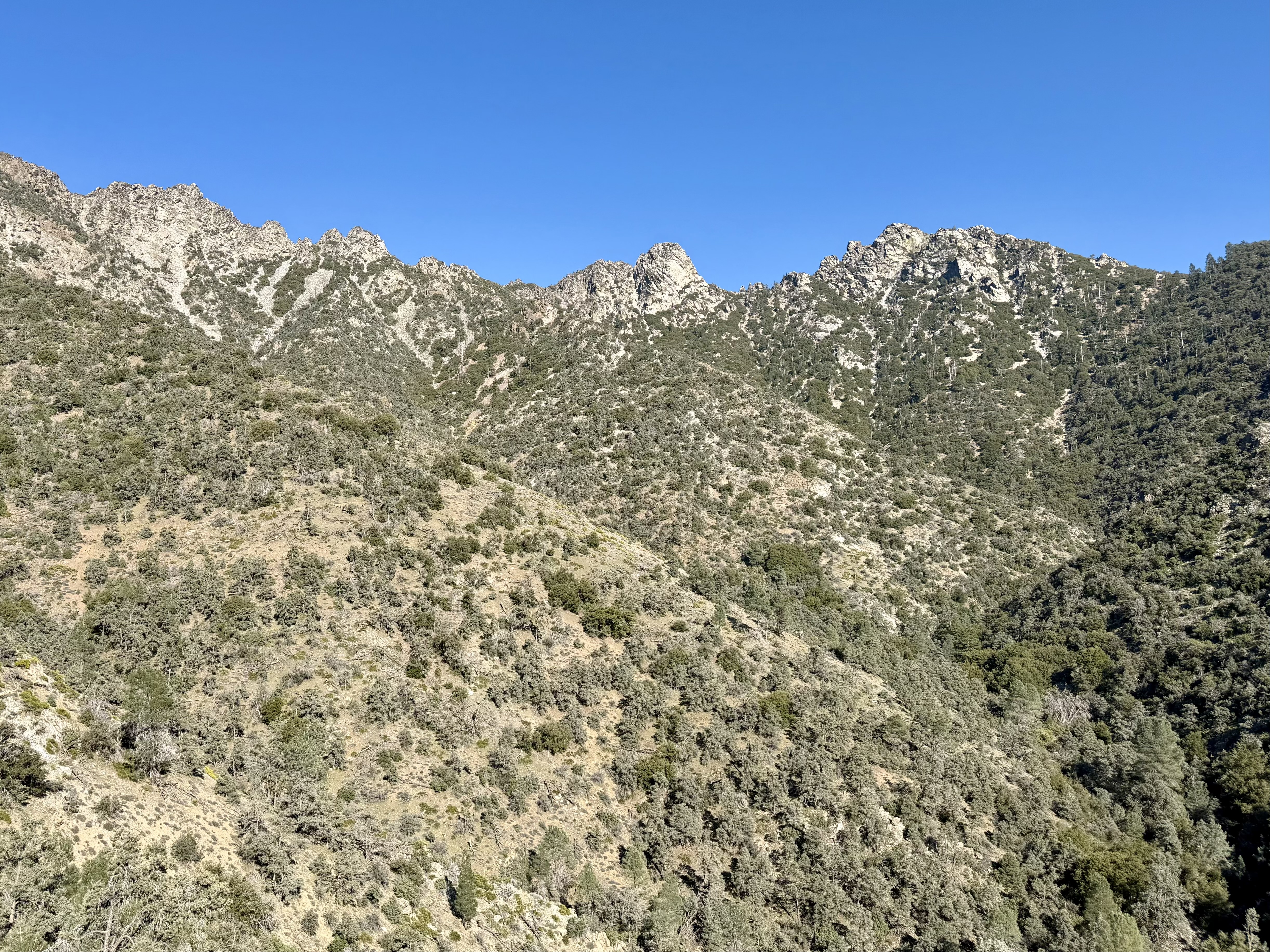
I ascend towards Lamont Peak and Spanish Needle Ridge, both peaks forming distinct outlines on the horizon. On the ridge I pause, as the high Sierra range appears again — Langley, Whitney, and the Florence peak in Kings Canyon National Park. The PCT so far has offered few of these peak glimpses. Right now they are covered in deep snow.
On the ridge I pause, as the high Sierra range appears again — Langley, Whitney, and the Florence peak in Kings Canyon National Park.
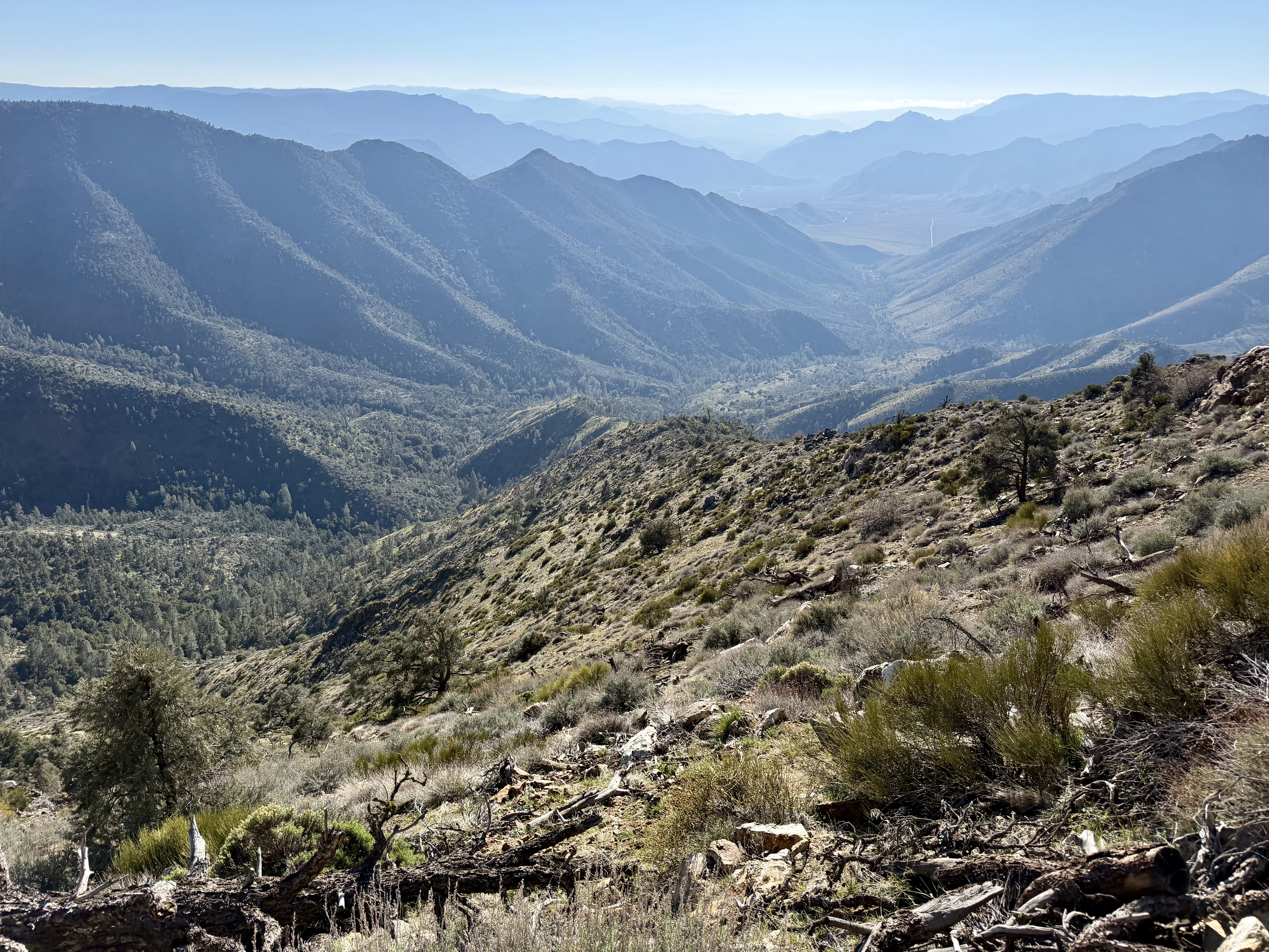
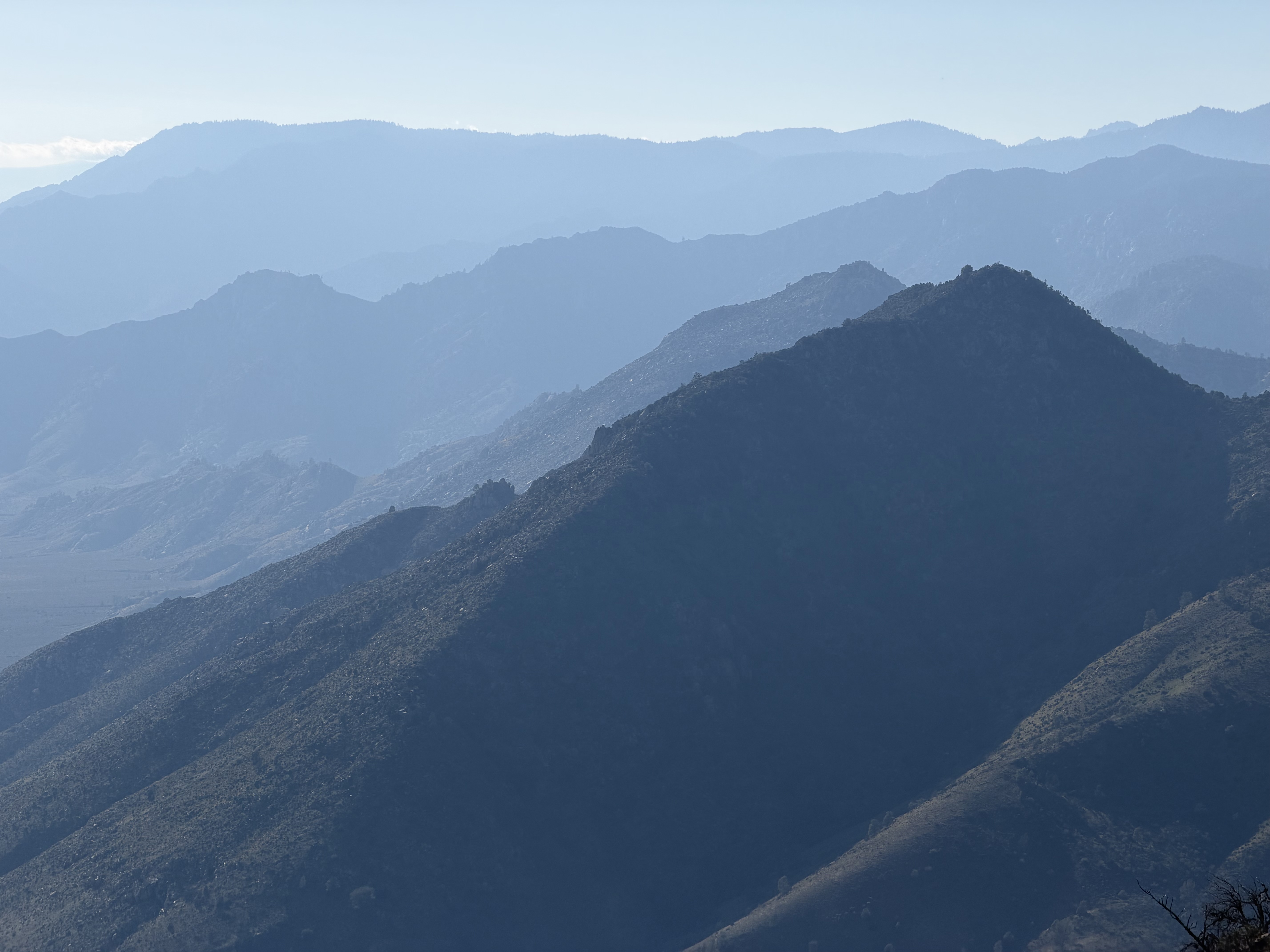
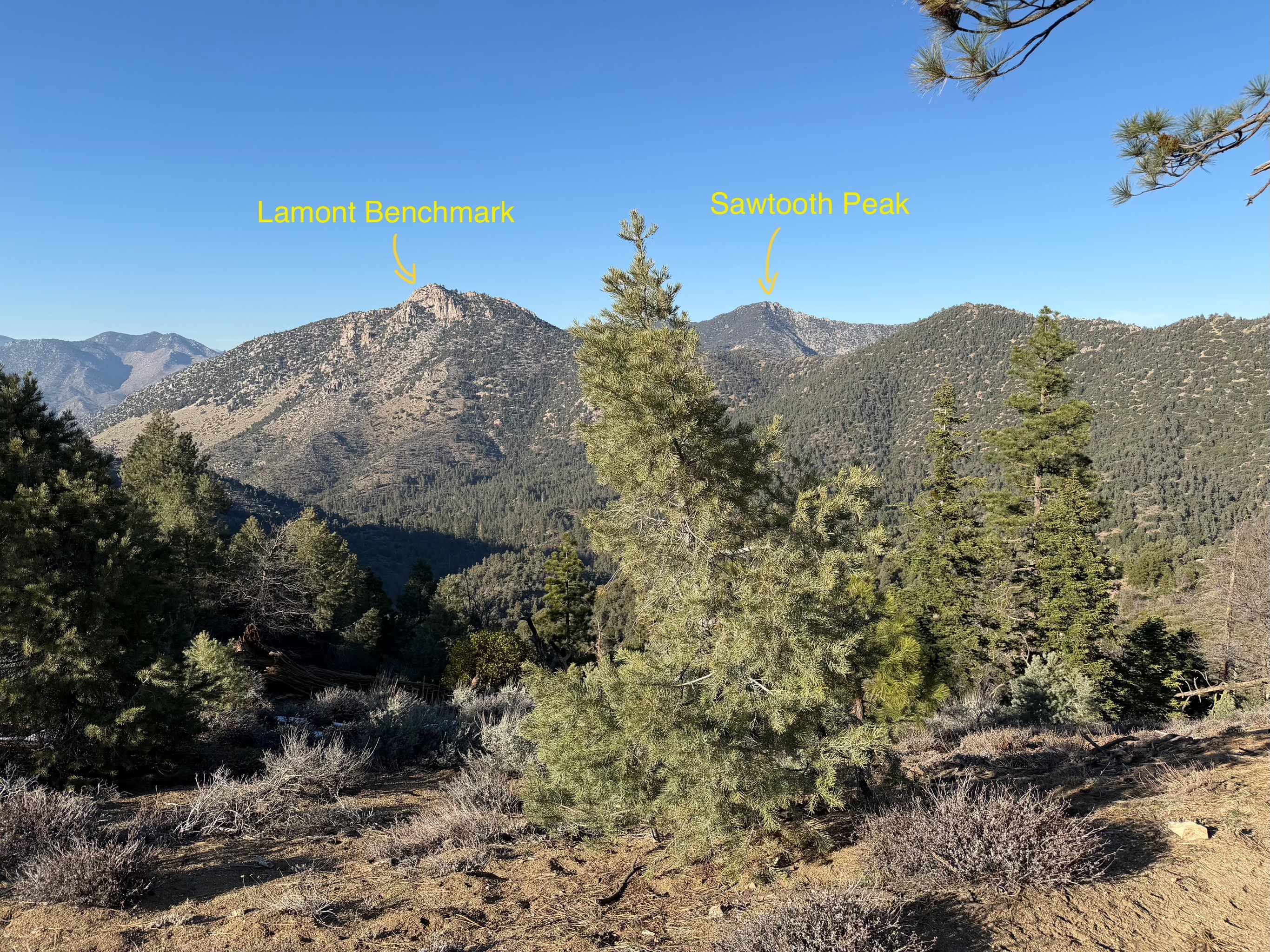
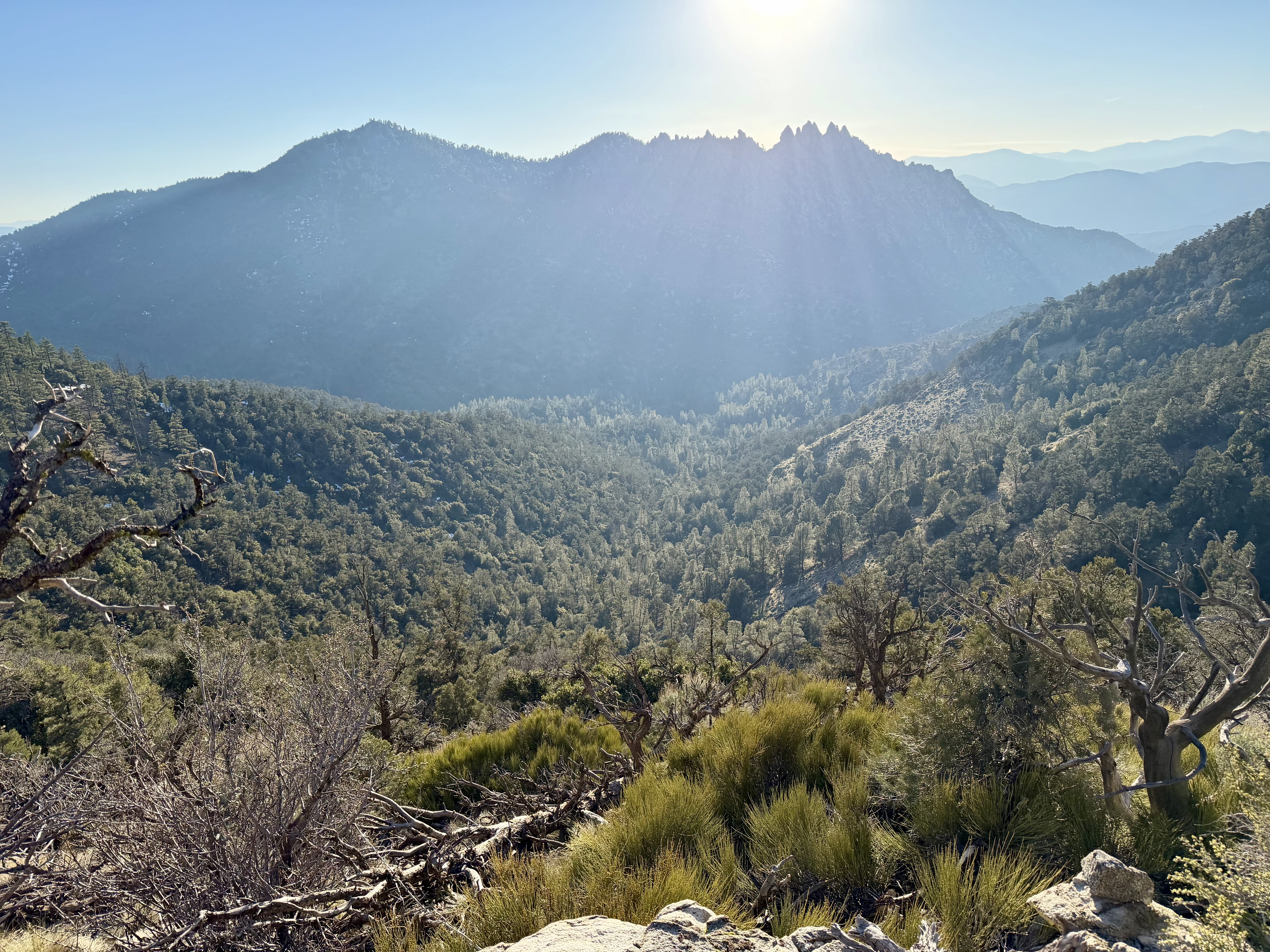
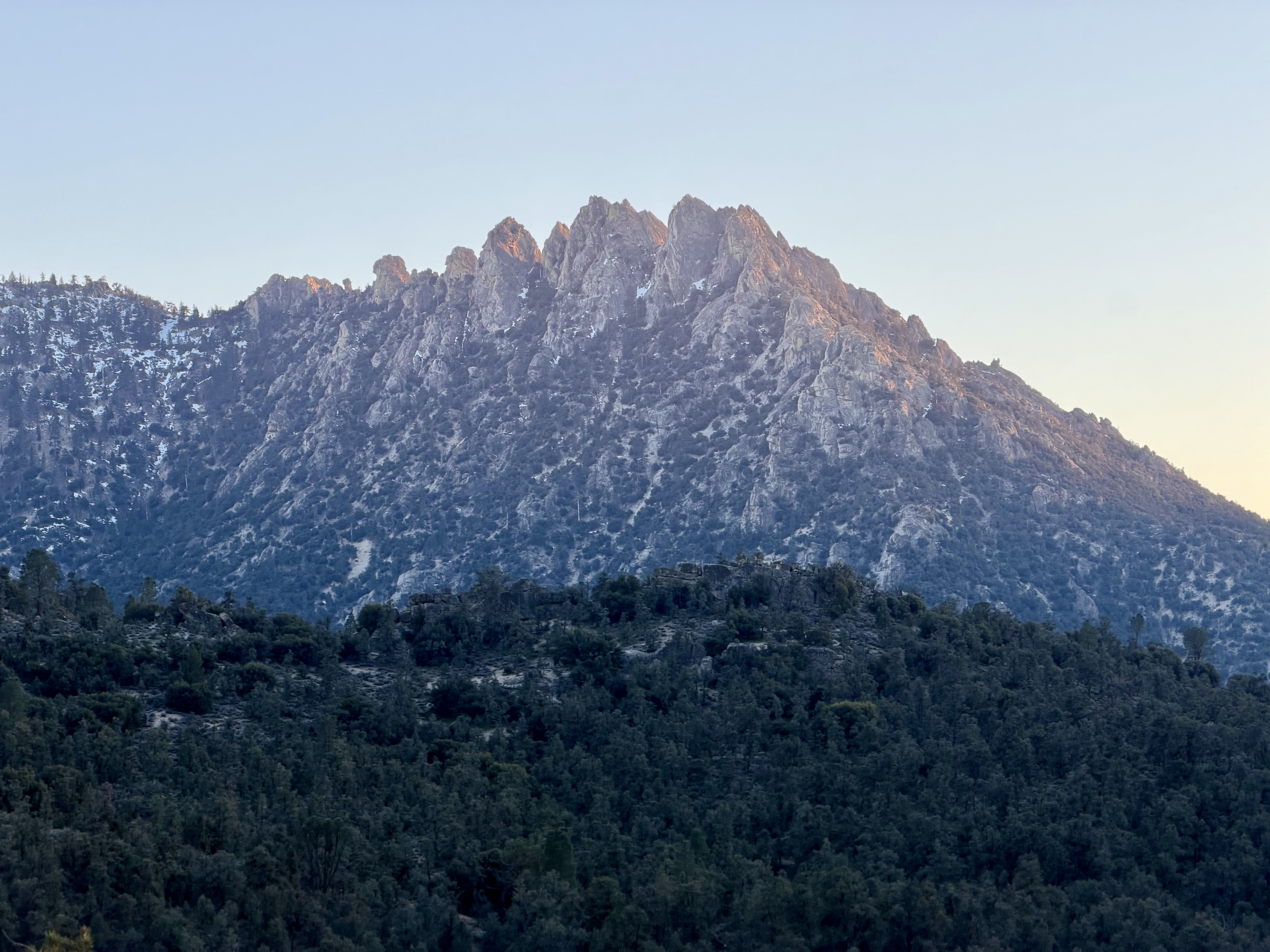
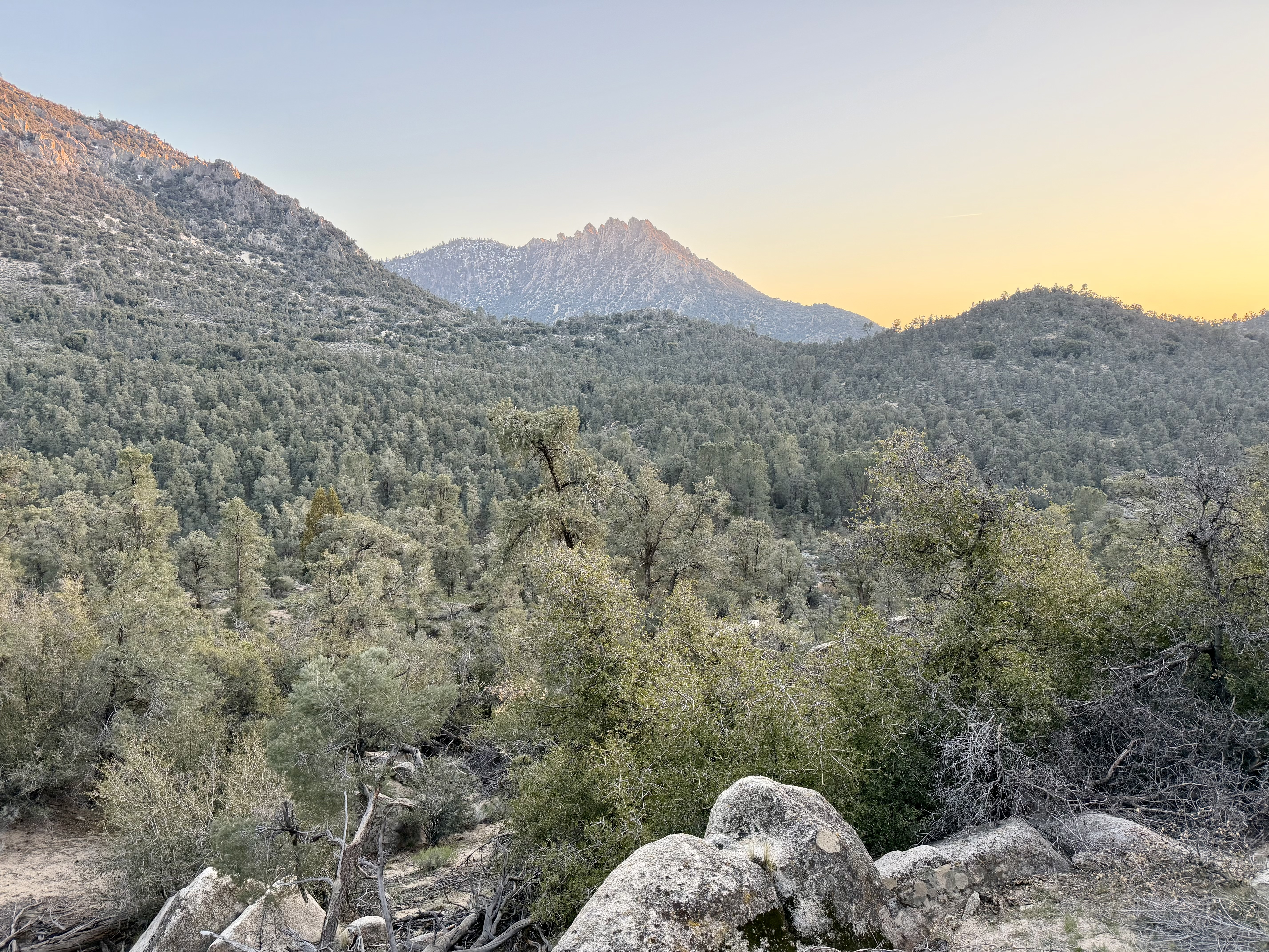
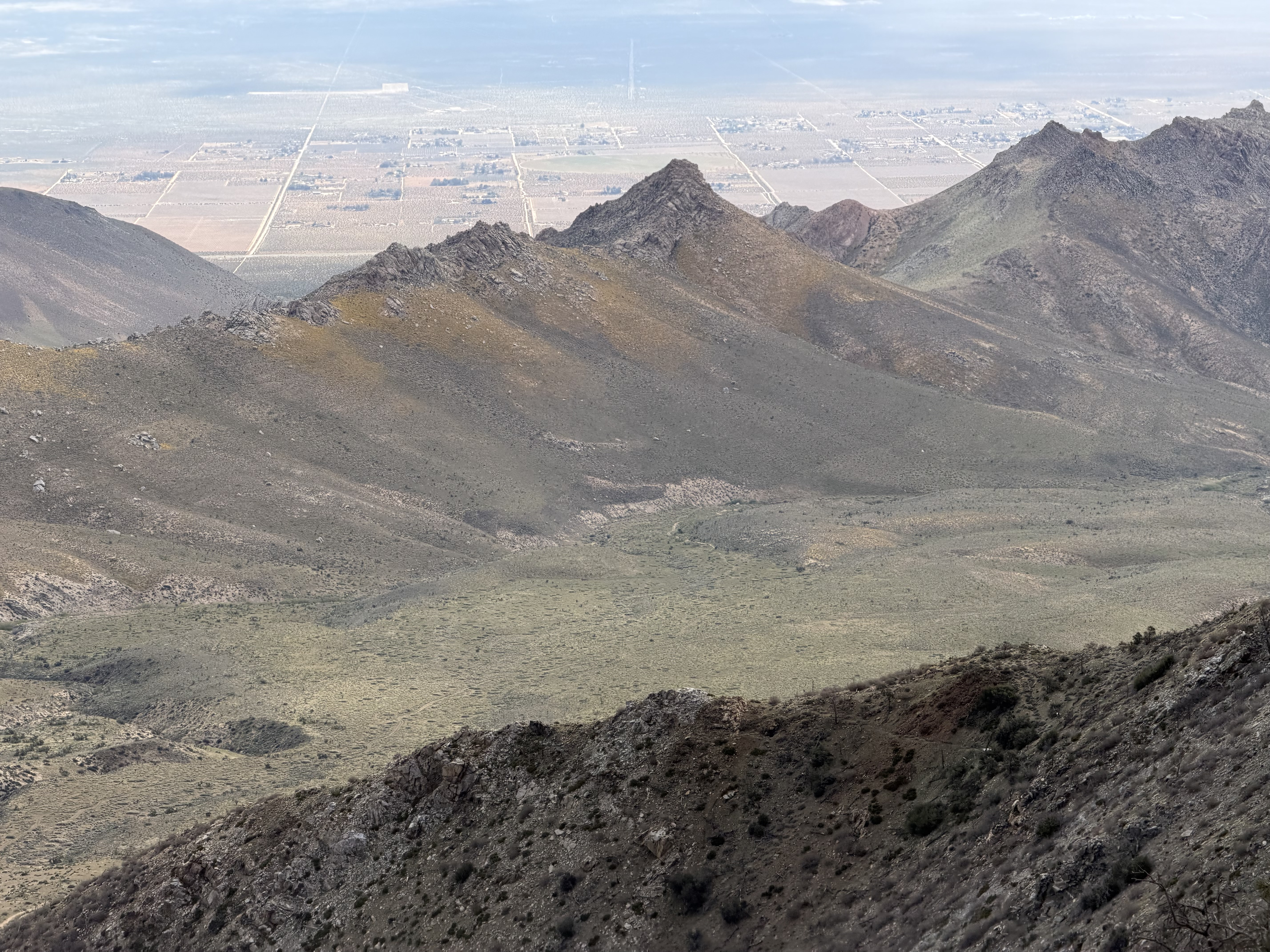
Then it's a 3–4 mile ridge with slight ups and downs, with Lamont Benchmark and Sawtooth Peak appearing as the next silhouettes on the horizon. From there it's a perfect 4-mile descent toward Chimney Peak Campground — a BLM-managed, free campground that will be home for the night. My guess is this will be my only campground stay this year.