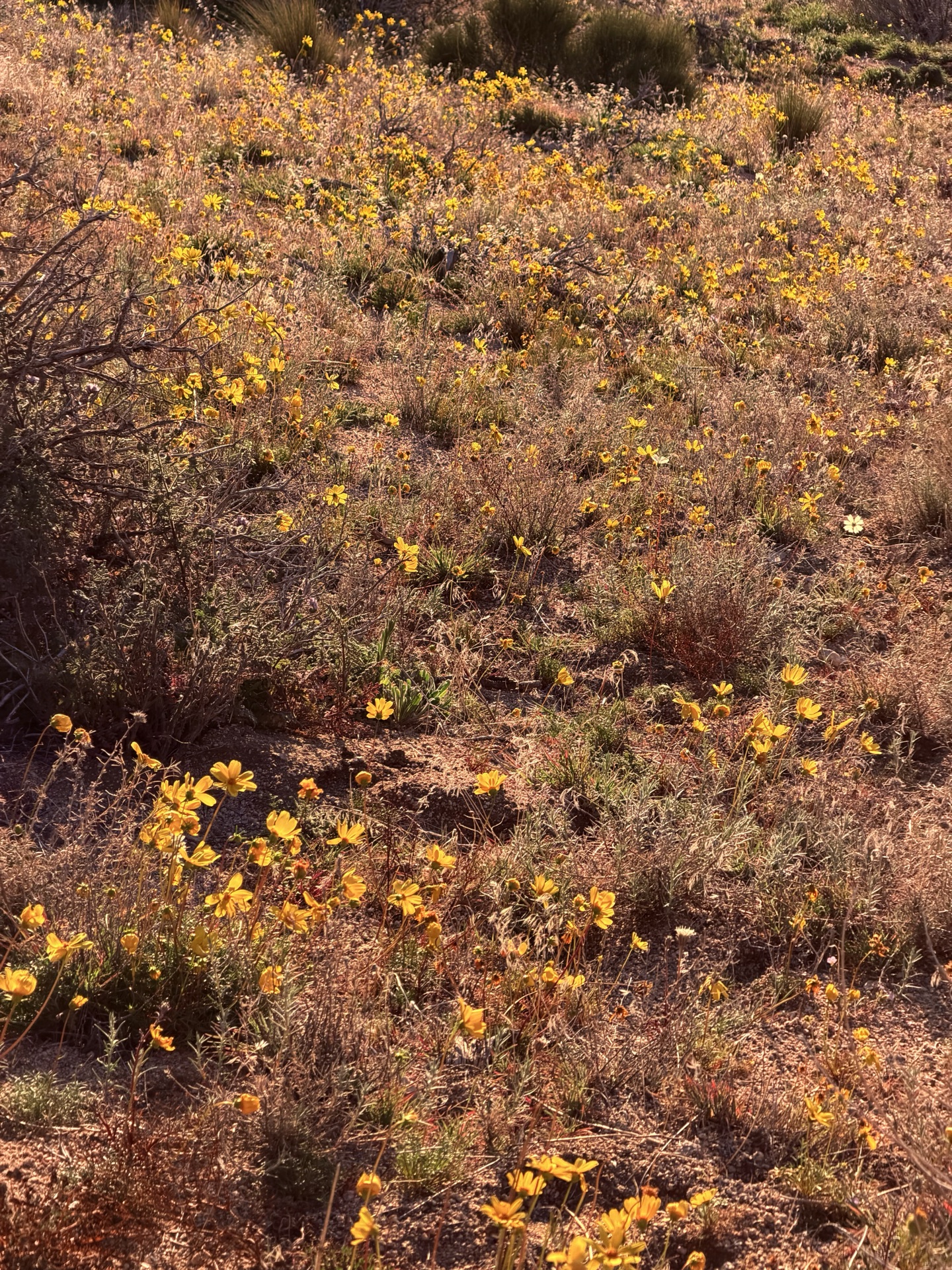
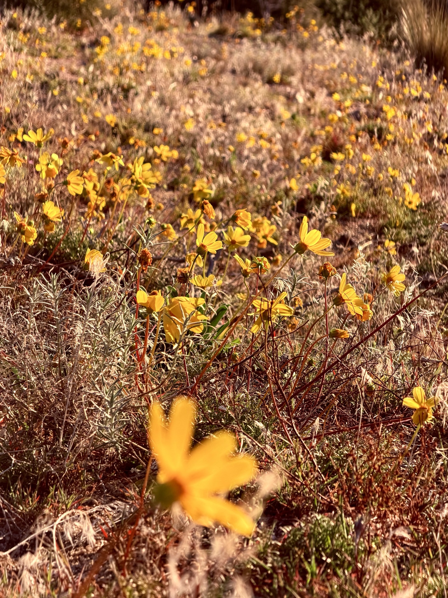
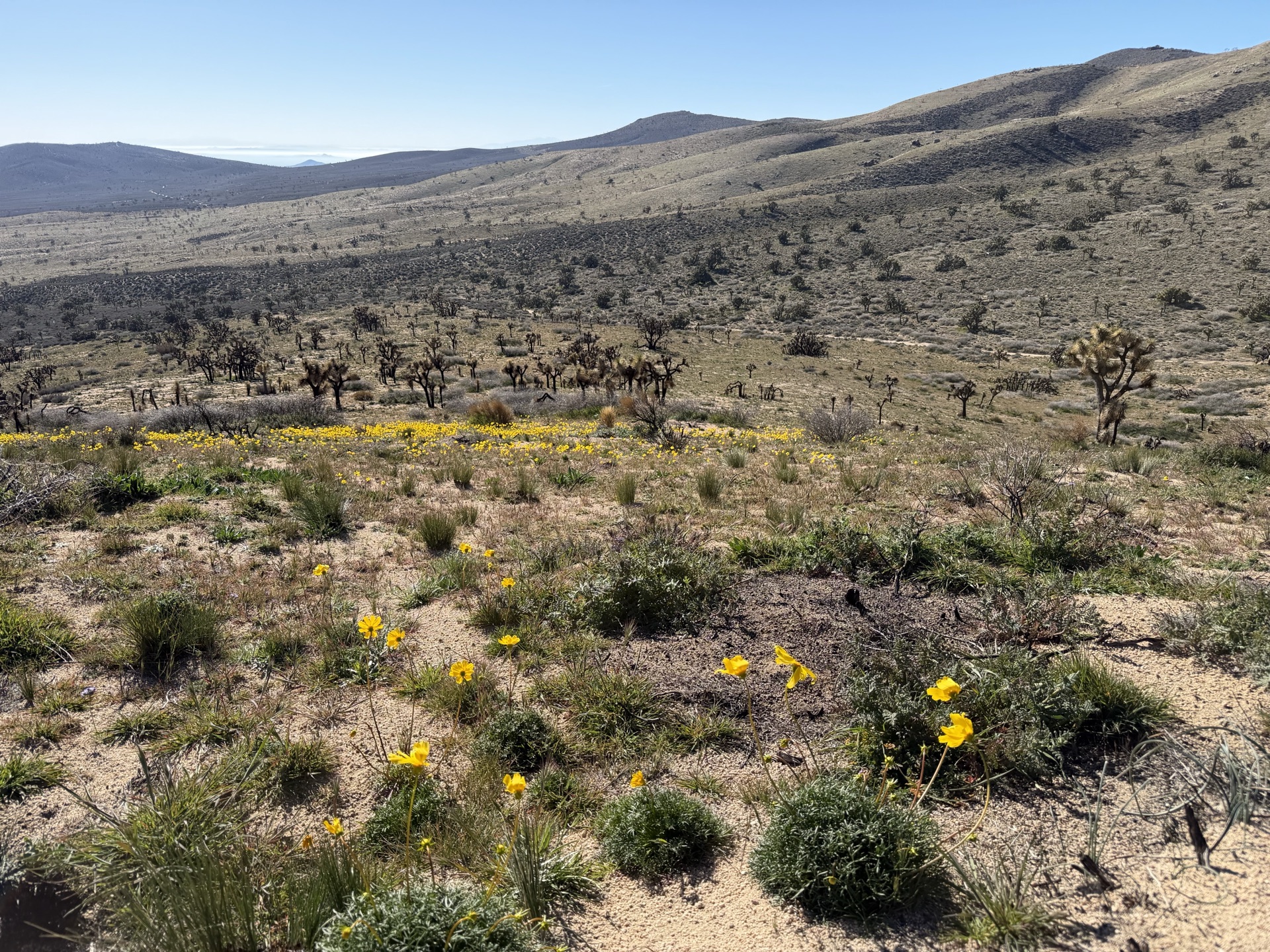
It's a shorter day, and I allow the luxury of sleeping in. I start before sunrise, descending down a smooth and perfect running trail on St John Ridge. Sun comes out, lighting blooming slopes around me — Bigelow's Tickseed (Leptosyne bigelovii) gently blooming yellow early in the season. Sparsely scattered, tiny flowers surviving on desert soils look more gentle than California Poppy superblooms. The bloom there feels like the desert making one last statement before the Sierra takes over. First signs of spring.
This winter so far has been extremely low in snow and much warmer, with January temperatures more typical for March.
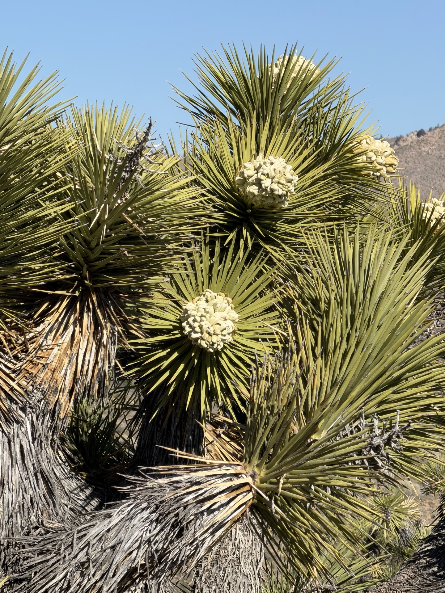
I reach Kelso Valley Road where there is a water cache for hikers. I refill, expecting a hot dry day again (like yesterday, just don't have any extra containers to carry with me). Desert unfurls before me, with Joshua trees around. Trail is incredibly smooth.
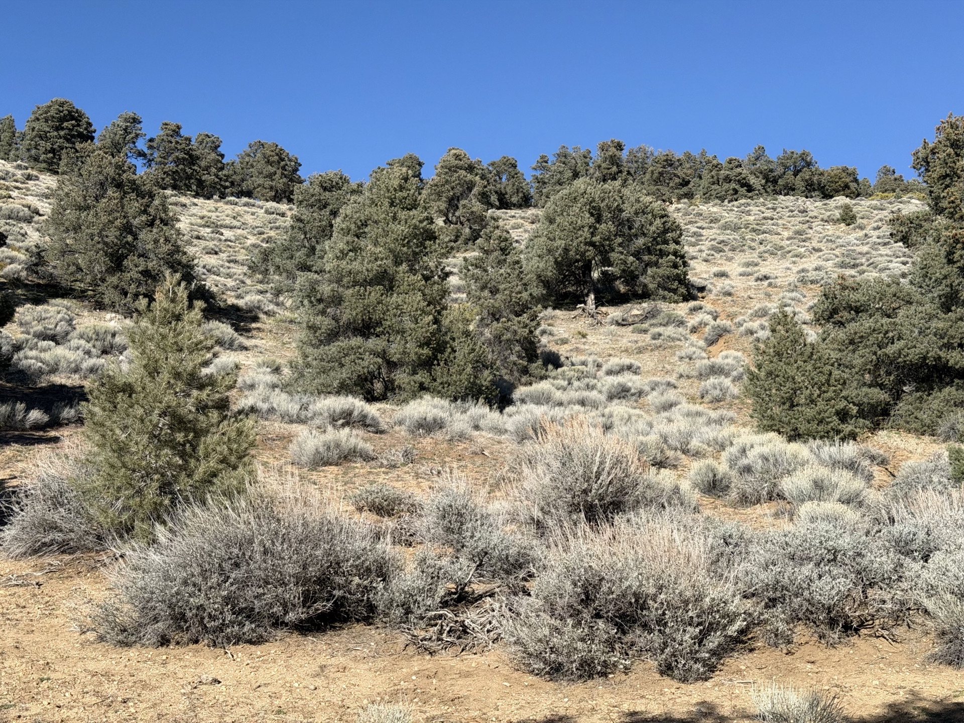
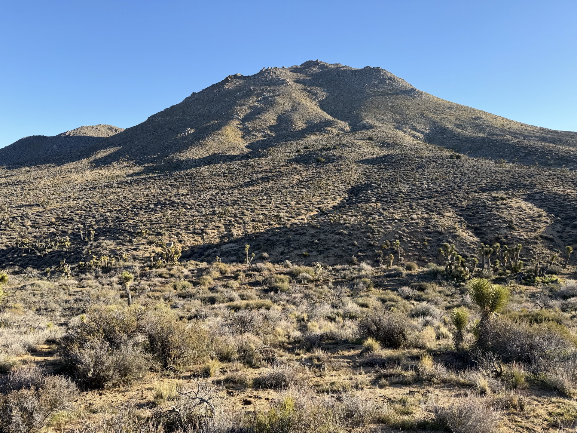
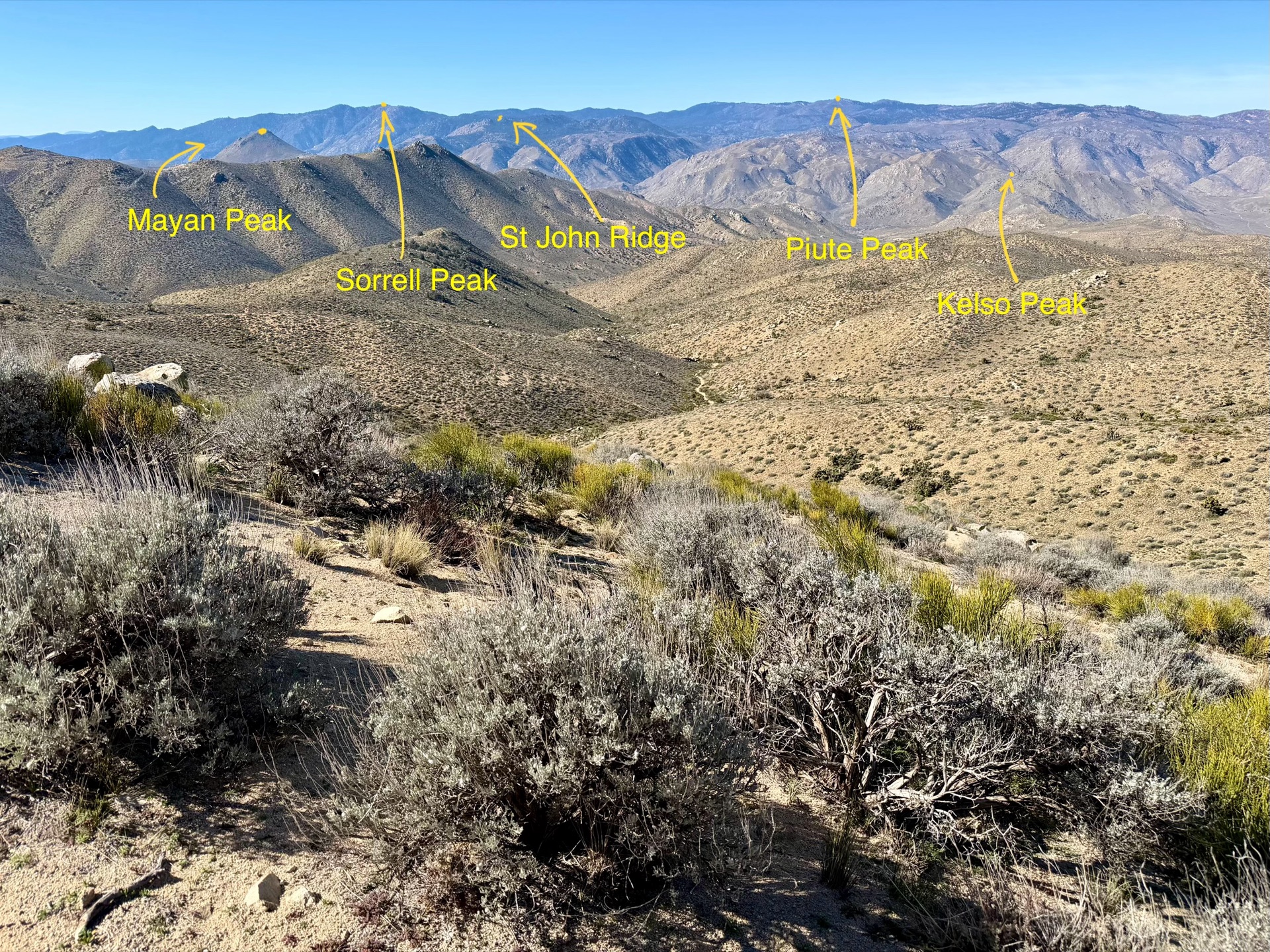
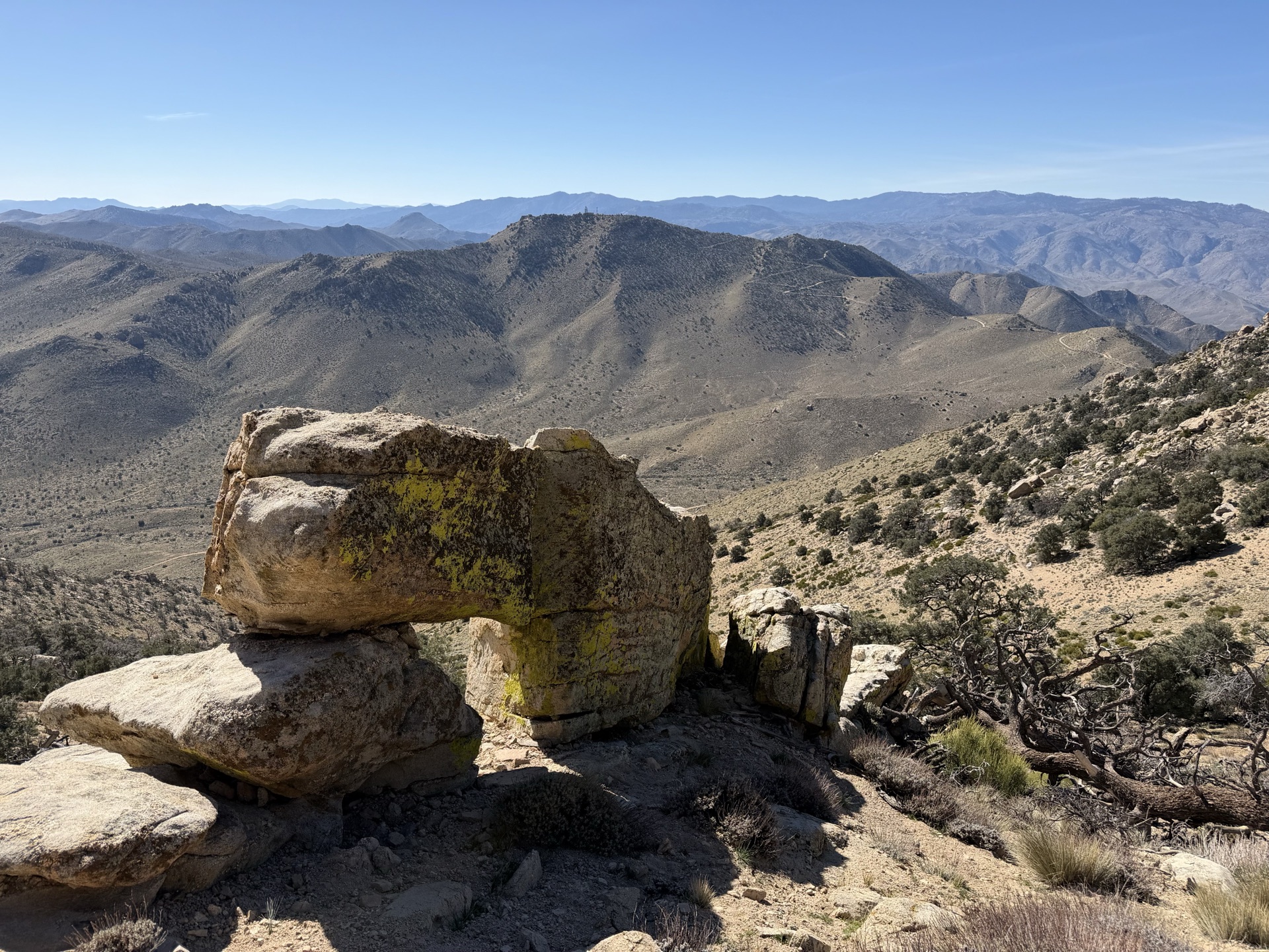
I pass Mayan Peak. It's humble, yet stereotypical of the range I am in. Decomposed granite with thin soil, an eroded remnant of the granitic geology of the southern Scodies — the heart of where Sierra merges with Mojave desert. I love this terrain — it is extremely runnable, trail winding from one ridge to another. It has its own beauty — the southern Sierra has distinct identity from the ranges I will encounter later.
The Scodies are geologically simpler than the Piutes I ran yesterday, and more purely granitic. The soils are developed from weathered granitic bedrock, with the shallow, coarse-grained sandy soils typical of decomposed granite throughout. This is essentially the southern tip of the Sierra Nevada batholith expressed at the surface — the same rock you'd find at Whitney or in Yosemite, just lower and more eroded.
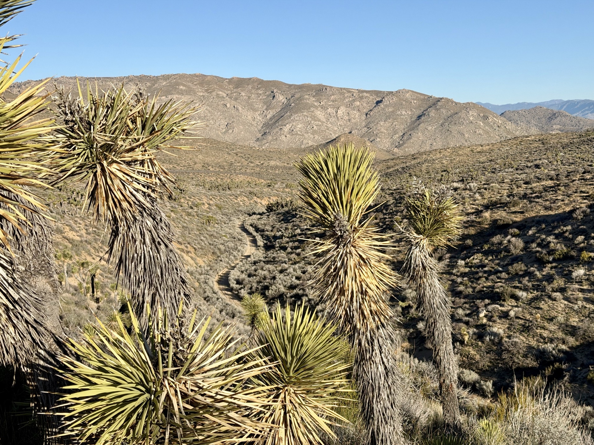
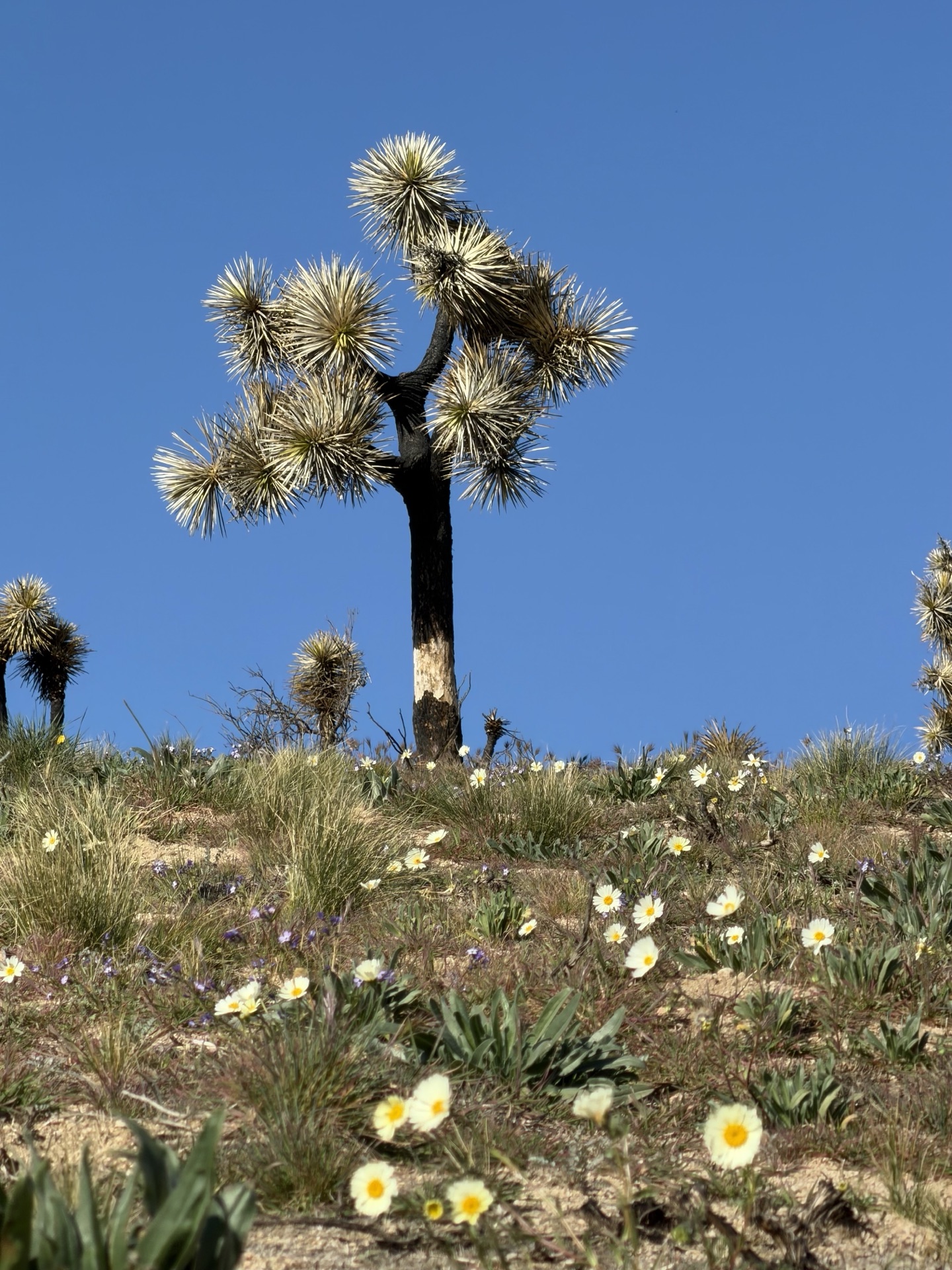
Next I follow a series of ridges — one valley unfurls after another. I pass old mining equipment and abandoned cars. I enter Jawbone Butterbredt, a BLM-managed and protected area. Not a big or well-known name, but in early spring it is gorgeous — early blooms, juxtaposing flowers and Joshua trees. I feel lucky. By the time hiking season starts these sights will be long gone.
I descend on Pinyon Mountain towards Birdspring Pass — another PCT water cache. I drink like a camel, expecting another long stretch without water. Then the long ascent towards Skinner Peak Ridge starts. On my way up I meet a hiker coming down, with two dogs by her side. After a bit of chatting, she offers me a bottle of water, reasoning that there will be no more water caches this early in season. She is right. The next few hours are water-free. I appreciate her gift and move on. The ascent is hot and steep.
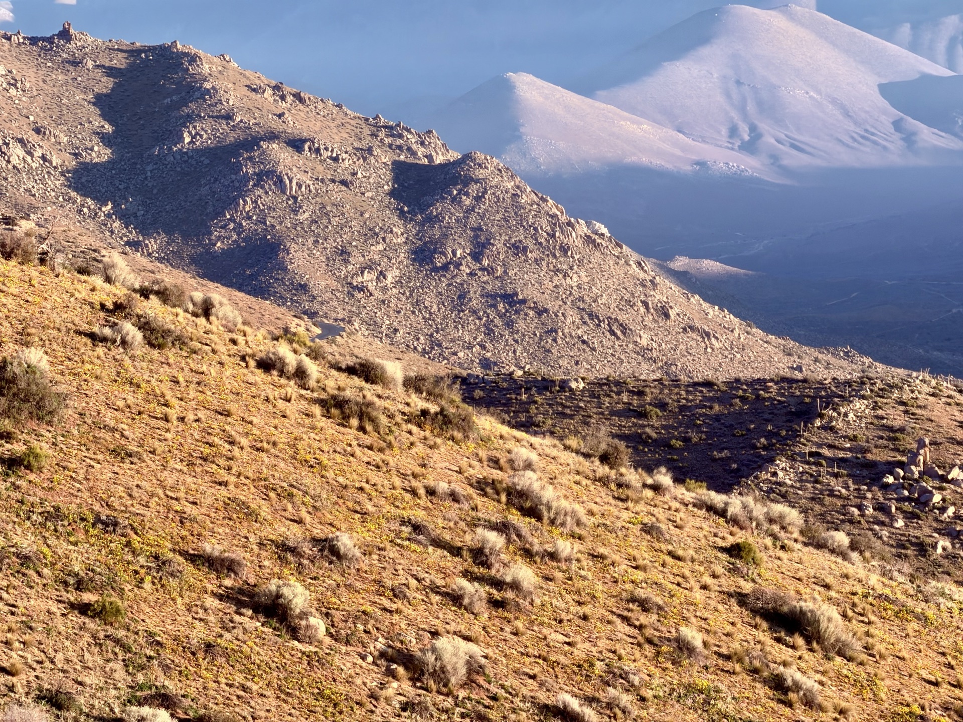
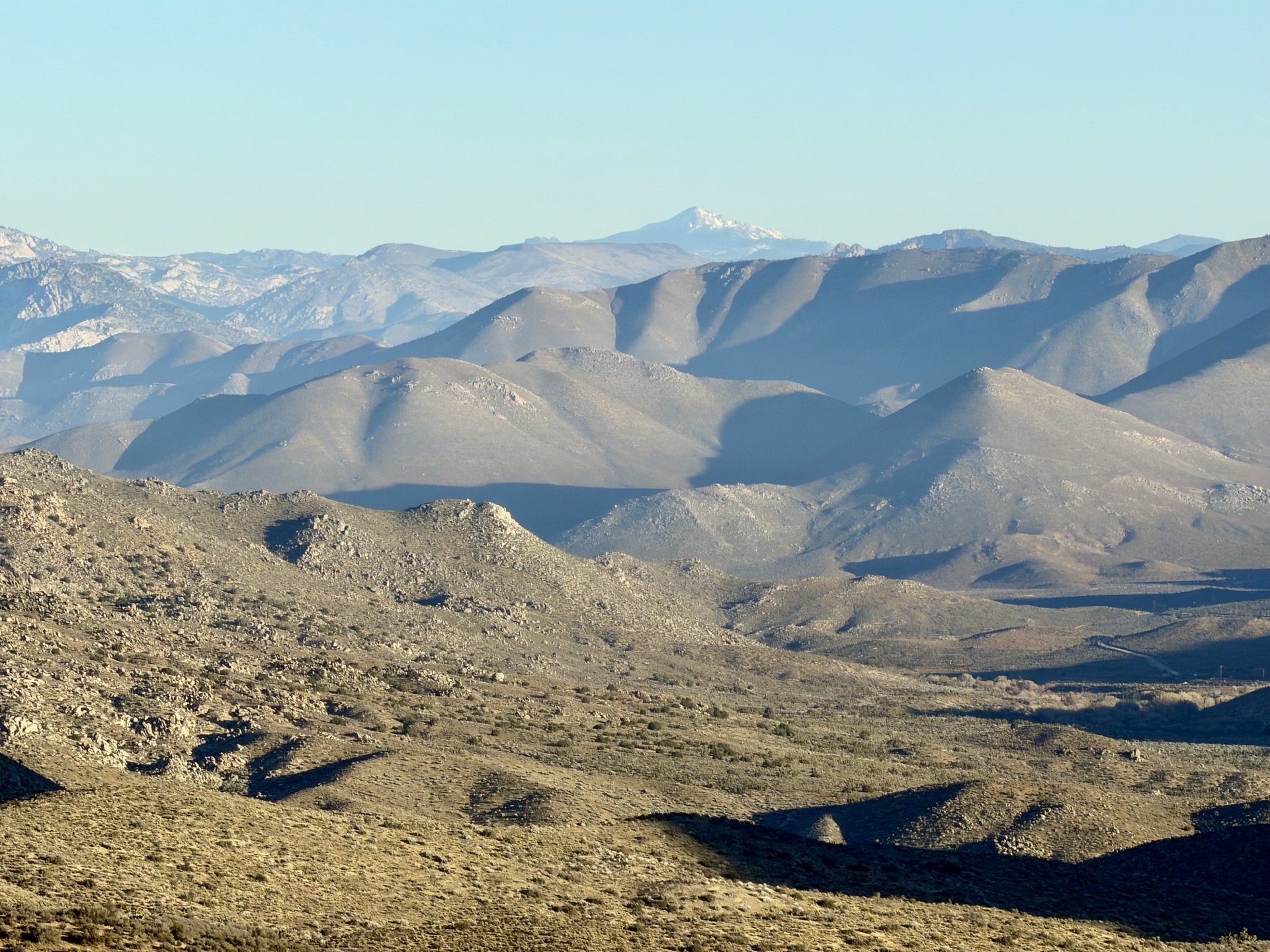
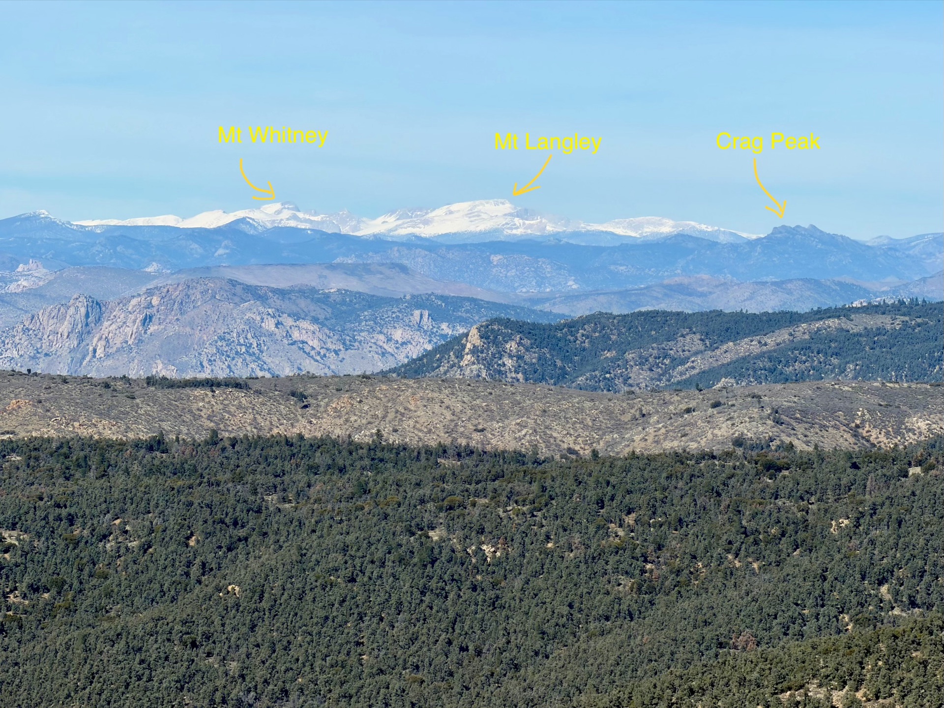
I reach the top of Skinner Peak Ridge, and suddenly I stop in my tracks. Before me the high Sierra crest appears — Langley, Whitney, Kaweah — a line of snow-covered peaks. It's my first great look at the Sierra. I savor the moment and move on.
Before me the high Sierra crest appears — Langley, Whitney, Kaweah — a line of snow-covered peaks.
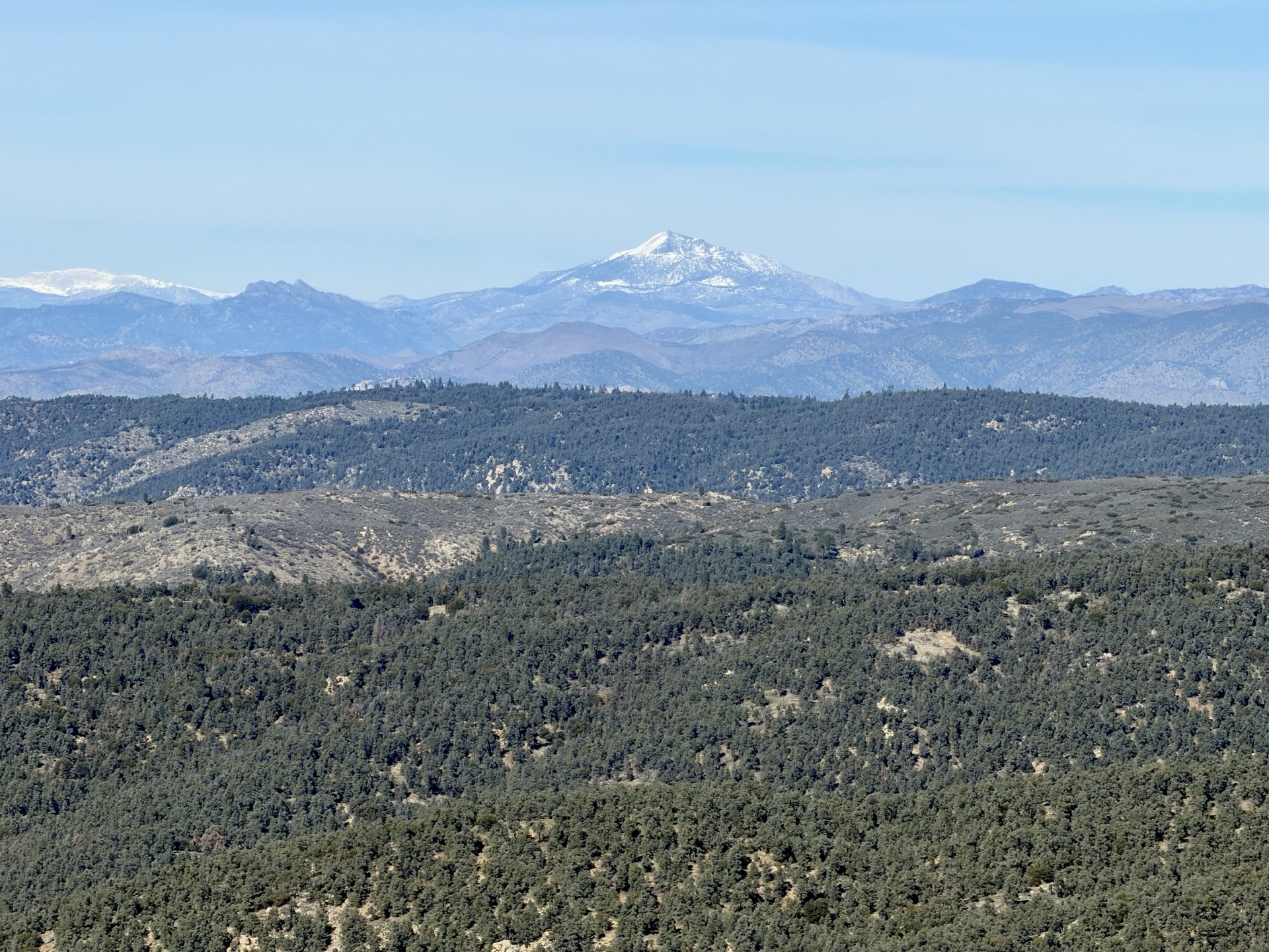
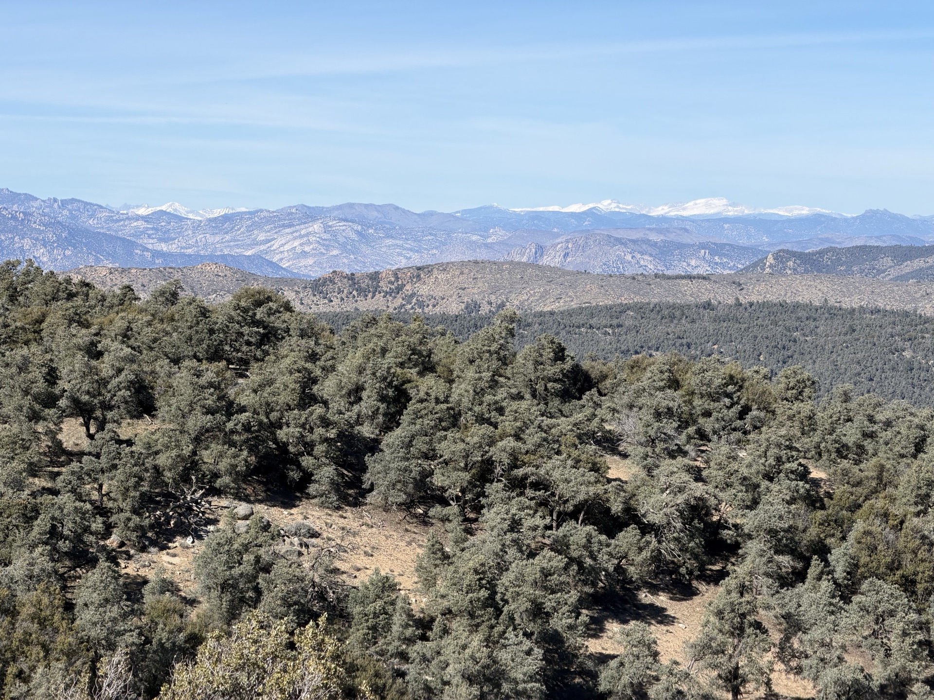
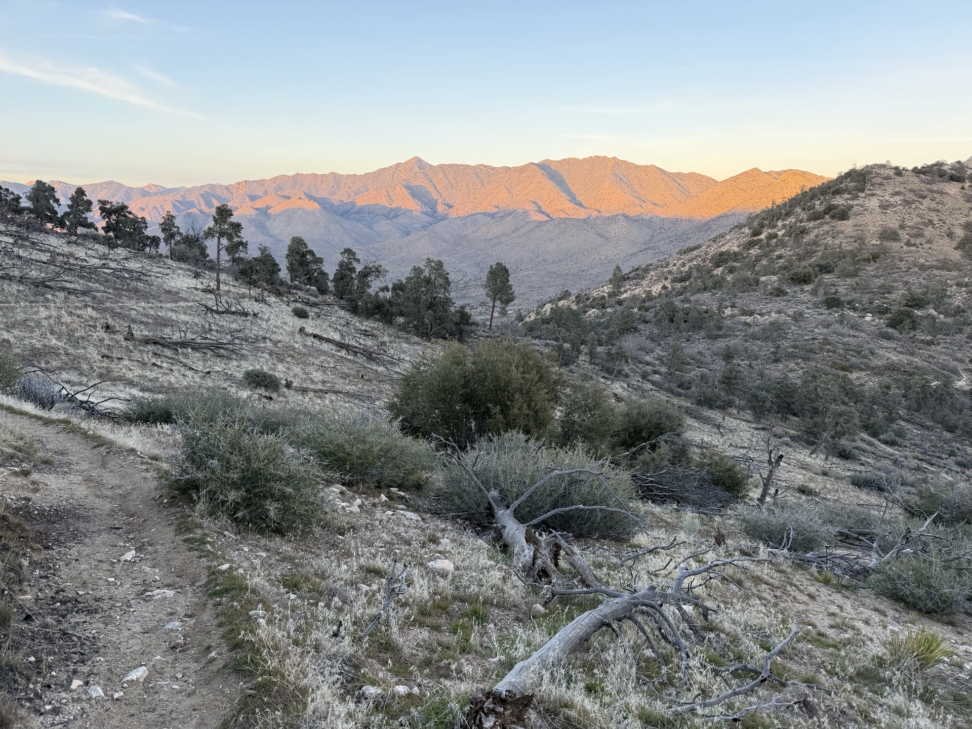
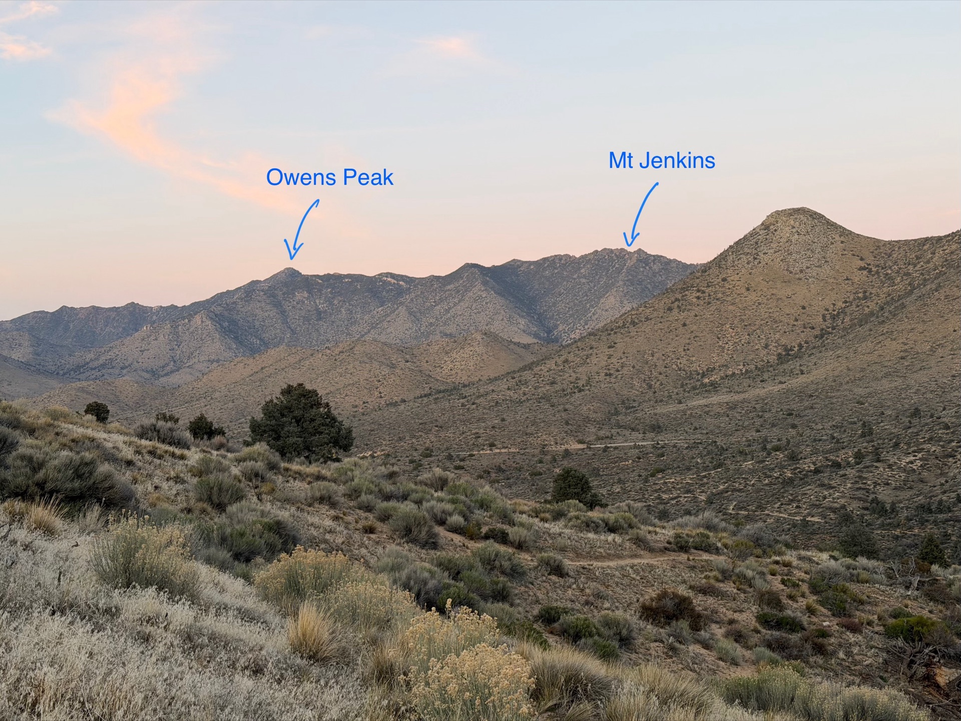
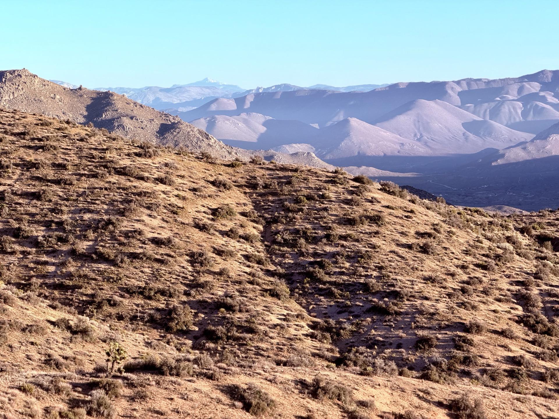
Then it's mile after mile of beautiful Scodie terrain. More ridges, crossing one canyon after another. Sagebrush gives way to pinyon-juniper — the seam between Mojave desert and Sierra Nevada. In the distance I start recognizing my next run's skyline — Owens Peak — defining the horizon ahead. Sun starts going down as I descend to Walker Pass, bright orange alpenglow illuminating the skyline.
It was not a dramatic day, but with its unique character and sights ranging from tiny flowers to towering peaks, it made for an incredible run. I am excited to return, but on my way home I see the story ahead: the Sierra is parched, with very low snowpack, and a massive storm is moving in within a week. It will stop my tracks for a moment, bury the quaint desert flowers and sturdy Joshua trees under snow. I am still excited to be back soon.