One of the most remote river crossings on the PCT — twenty miles of trail in any direction

Feather River
Canyons

PCT  ·  Bucks Lake to Little Grass Valley Reservoir  ·  Feather River Highlands
May Month
23.6 Miles
4,800 Feet Gained
✦✦ Arête
Map Layer

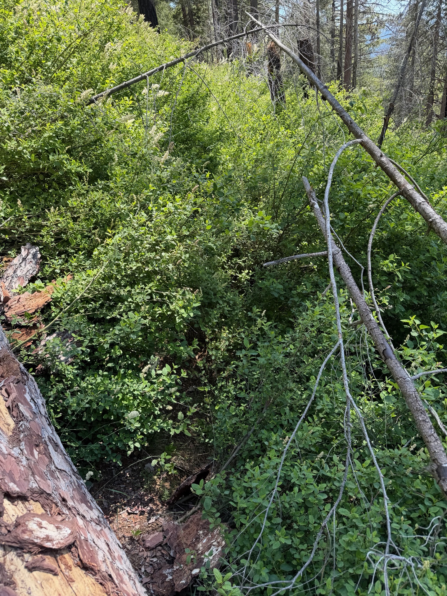
The Bucks Wilderness trails were overgrown. I had no idea what the day would bring — some of the worst trail I've encountered, a faint line through the forest that connects two points without really qualifying as a path between them.

It will be a short day, as I am still managing the injury. The route follows the PCT from Bucks Lake to Little Grass Valley Reservoir — a straight-line traverse dominated by the Middle Feather River watershed, canyon after canyon funneling toward the same drainage.
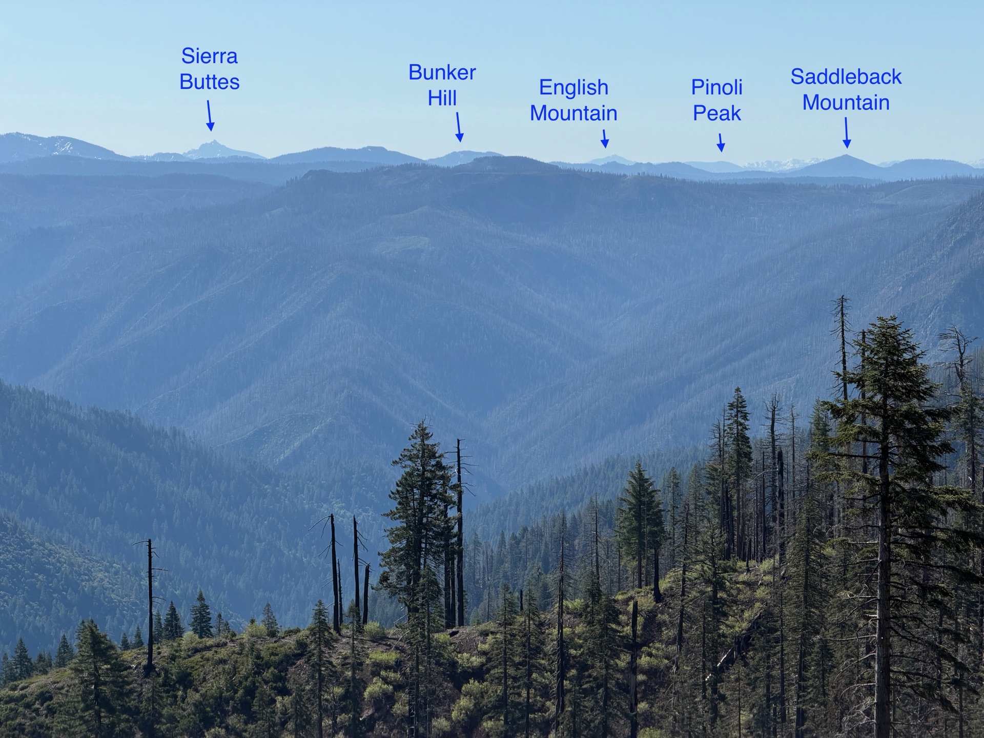
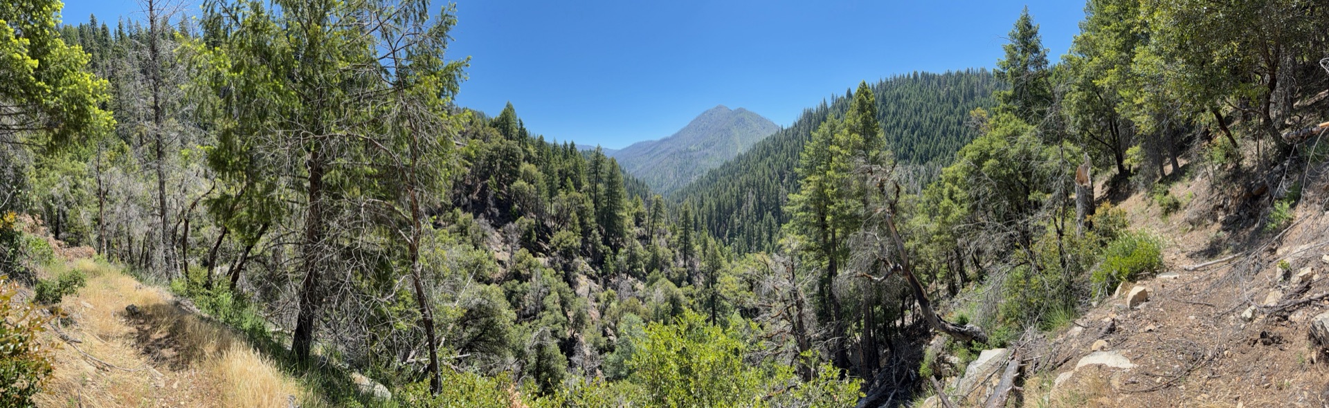
The forest opens onto the Bear Creek Canyon rim, with Sierra Buttes visible seventy miles north.
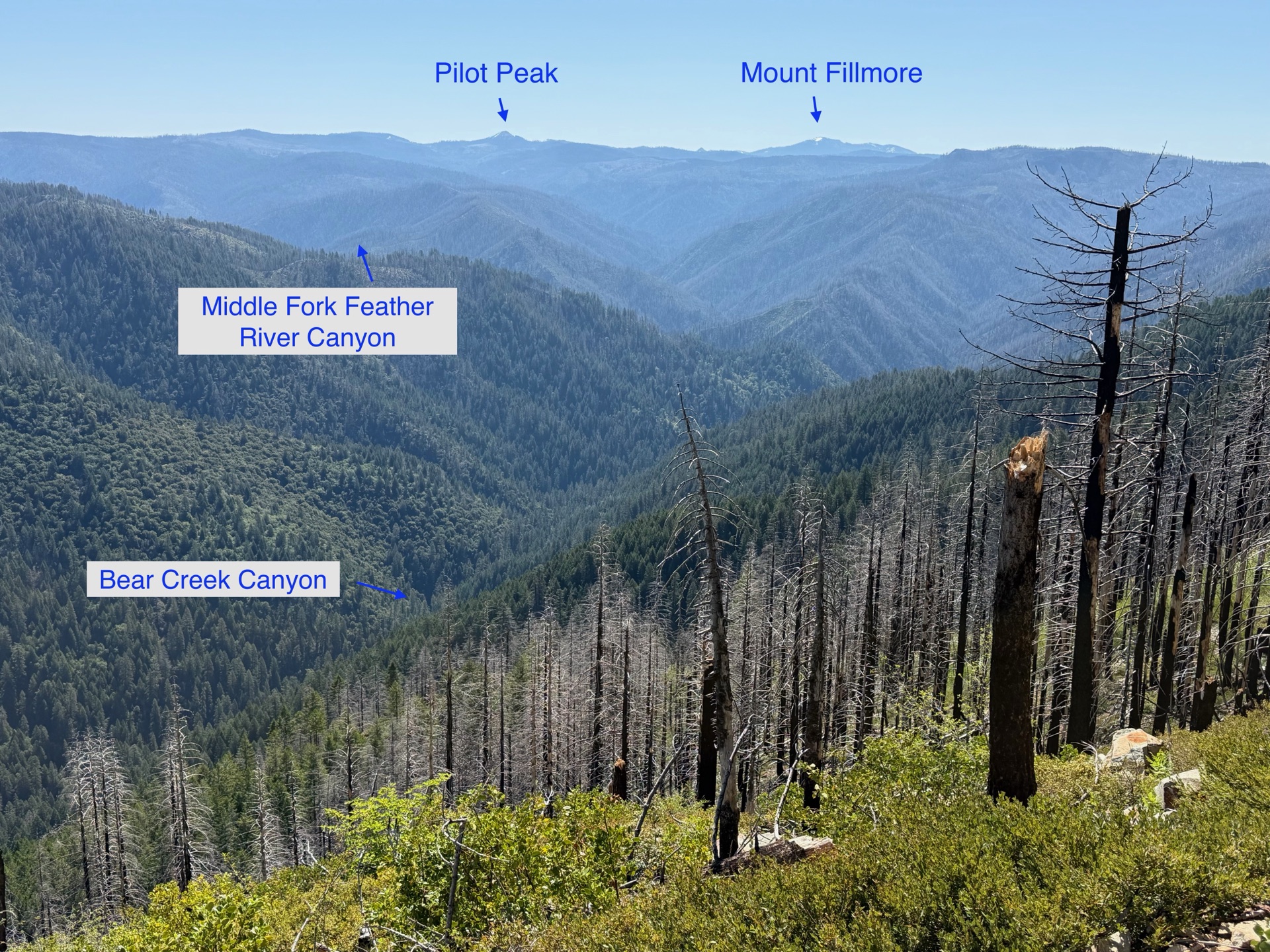
Pilot Peak and Mount Fillmore on the horizon — the PCT passes both on the next leg.

It starts well. Green forest, a few downed trees, then open ridgeline where the trail reaches the edge of Bear Creek Canyon. Sierra Buttes loom in the distance, still seventy miles north. Closer peaks line the horizon — Pilot Peak and Mount Fillmore — the next day of trail taking shape. Flowers line the trail, ridge offers soft footing, and for a brief moment it feels like everything is working. Then the forest closes in.
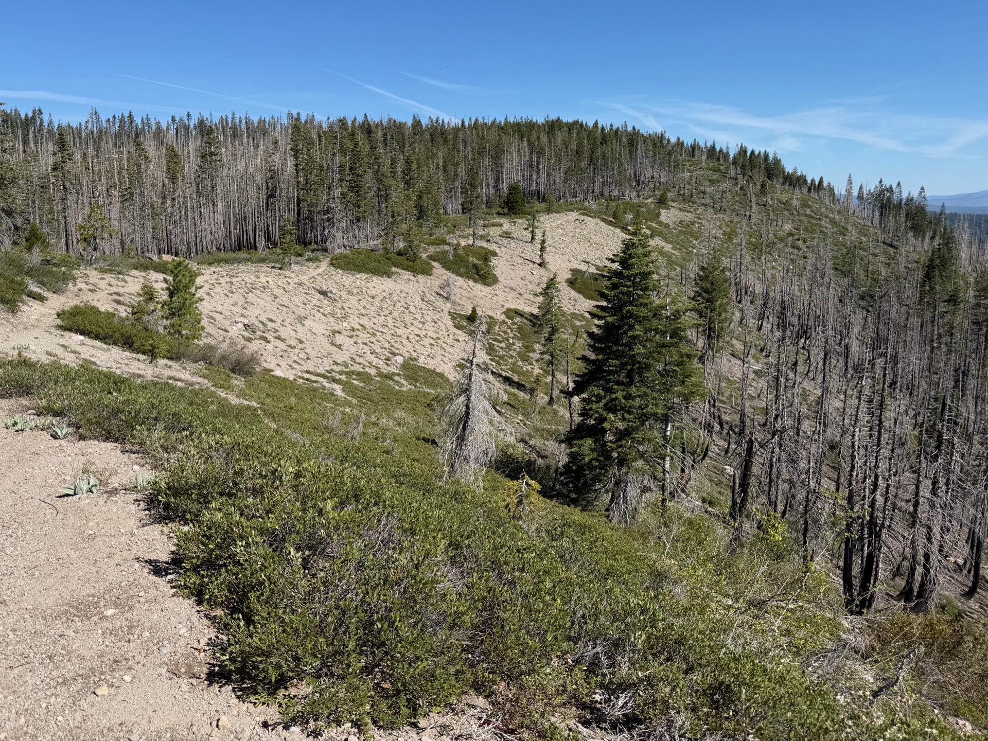
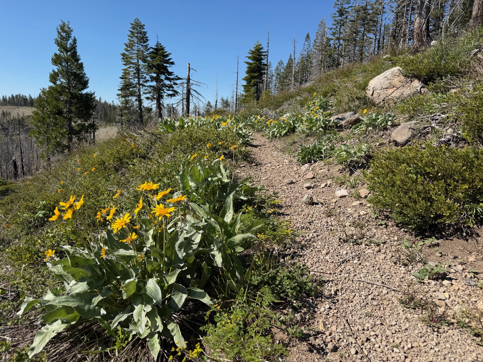
A brief stretch of perfect ridge running — it doesn't last.
Arrowleaf balsamroot lining the trail above Bear Creek Canyon.

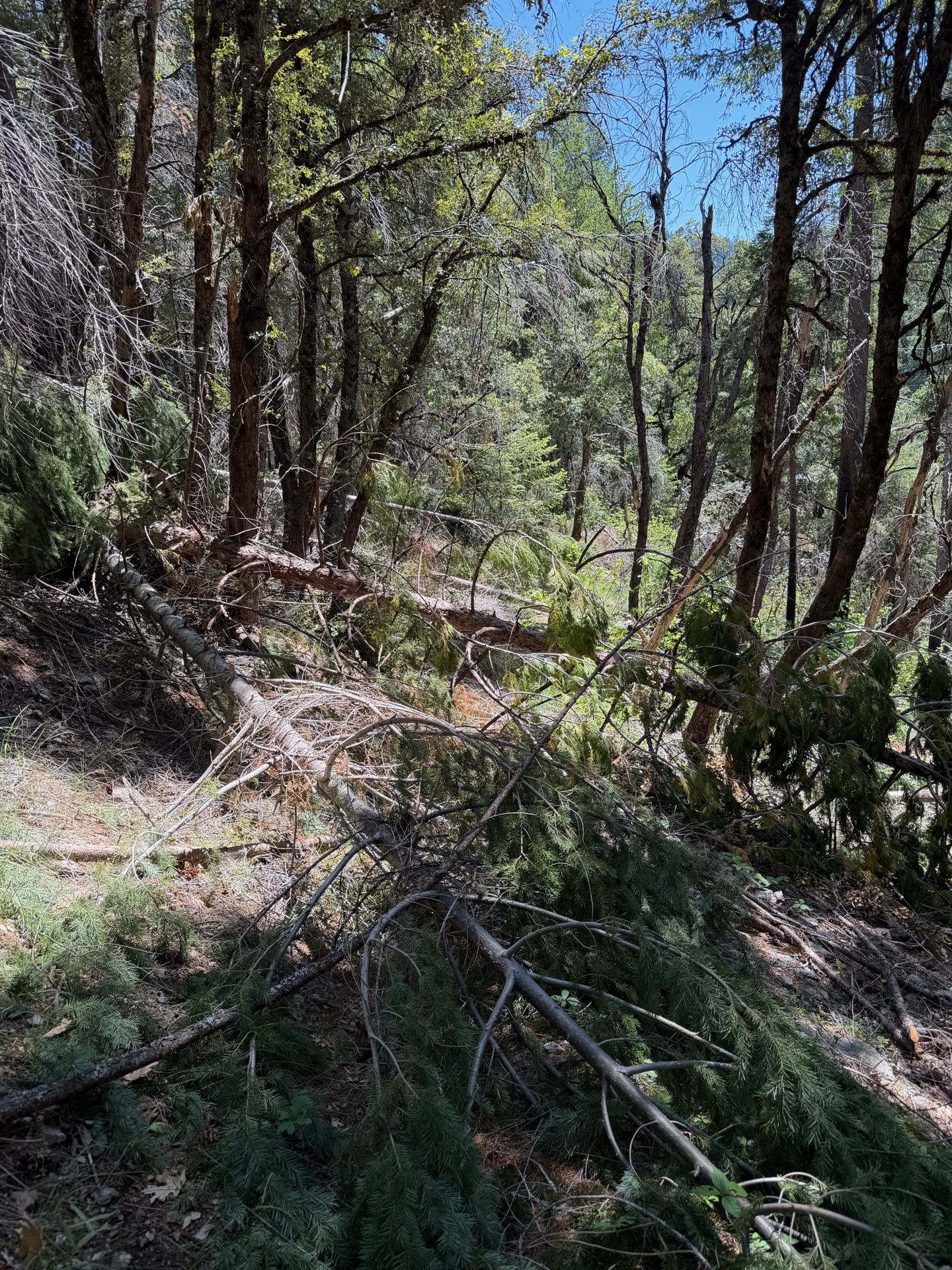
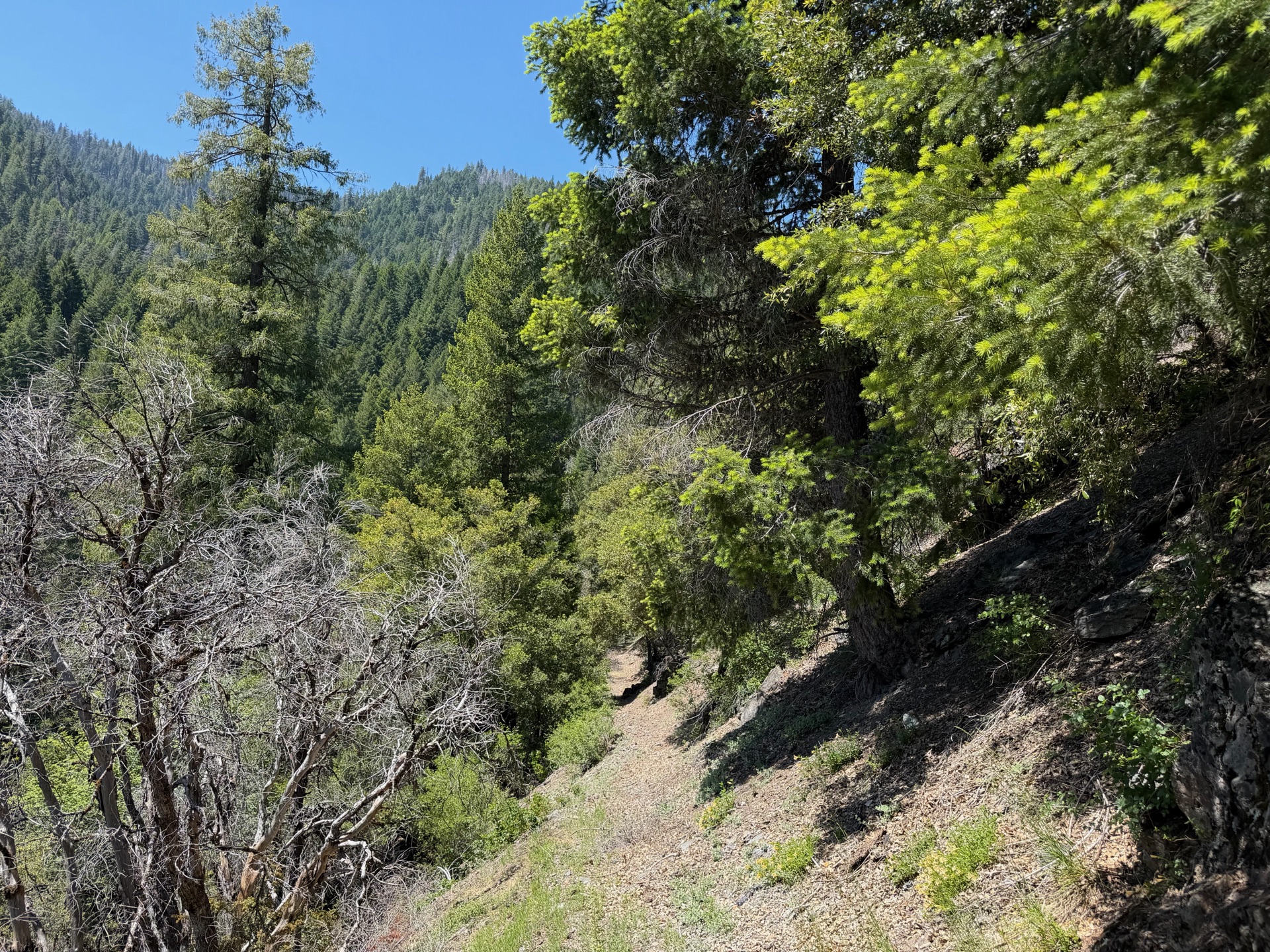
This stretch relies on volunteer labor and rarely sees a crew. The descent toward Bear Creek disintegrates: downed trees every ten feet, brush grown chest-high over the tread, steep eroded slopes cutting away what's left of the path. Burned sections offer no reprieve — if anything, the fallen snags are worse. I keep expecting the trail to recover. It doesn't.
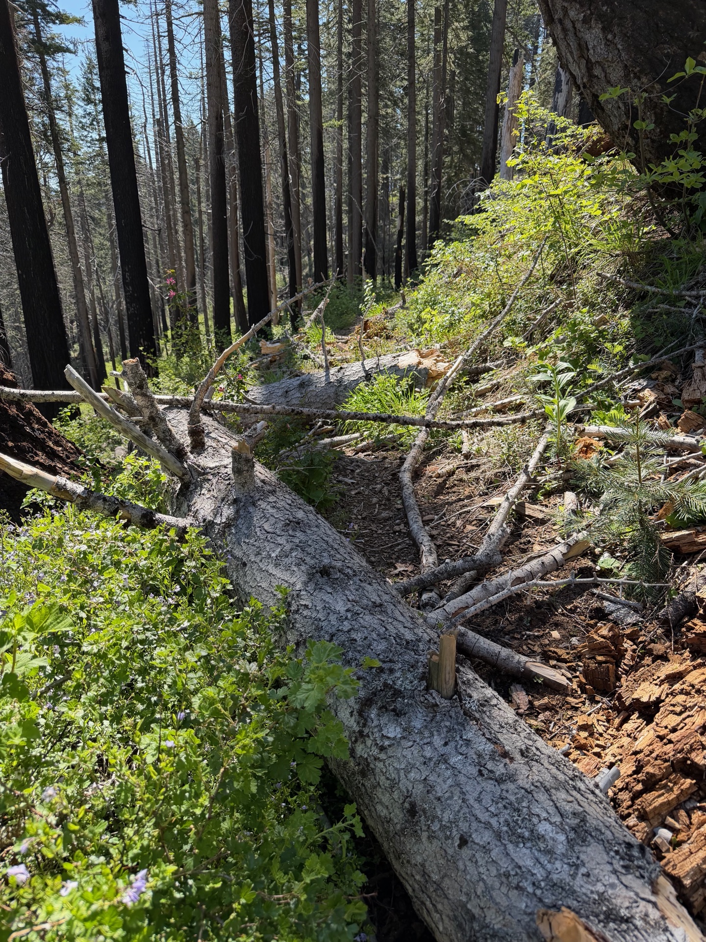
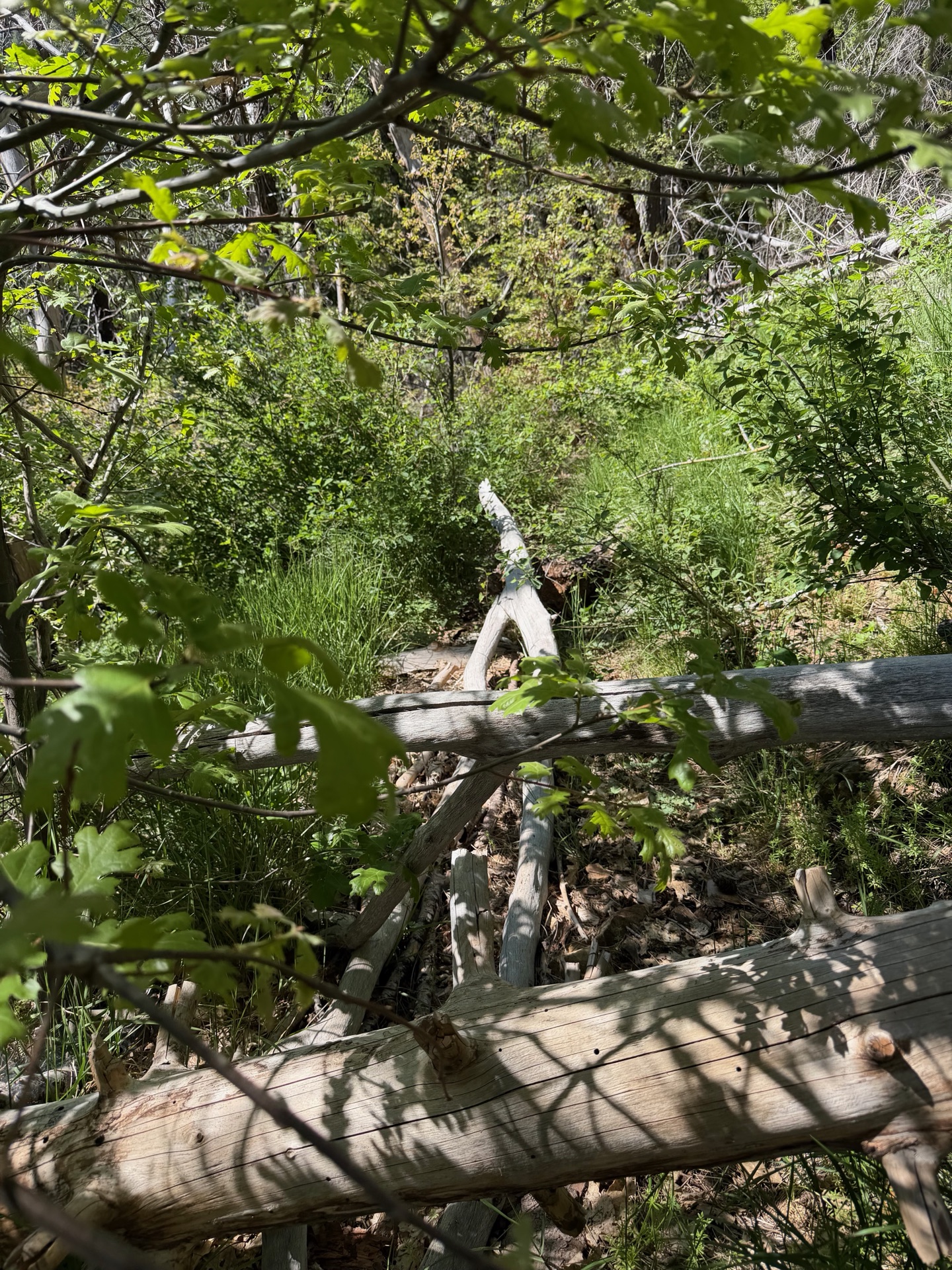
With the last maintenance crew through here perhaps a decade ago, the trail is barely passable.
Somewhere in this brush I picked up poison oak. I didn't know it yet.
The camera is pointing straight down the trail.
One of the clearer stretches — still not clear.

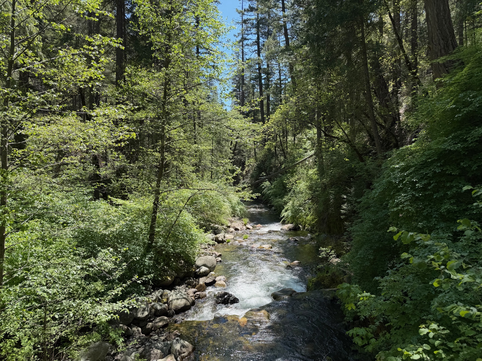
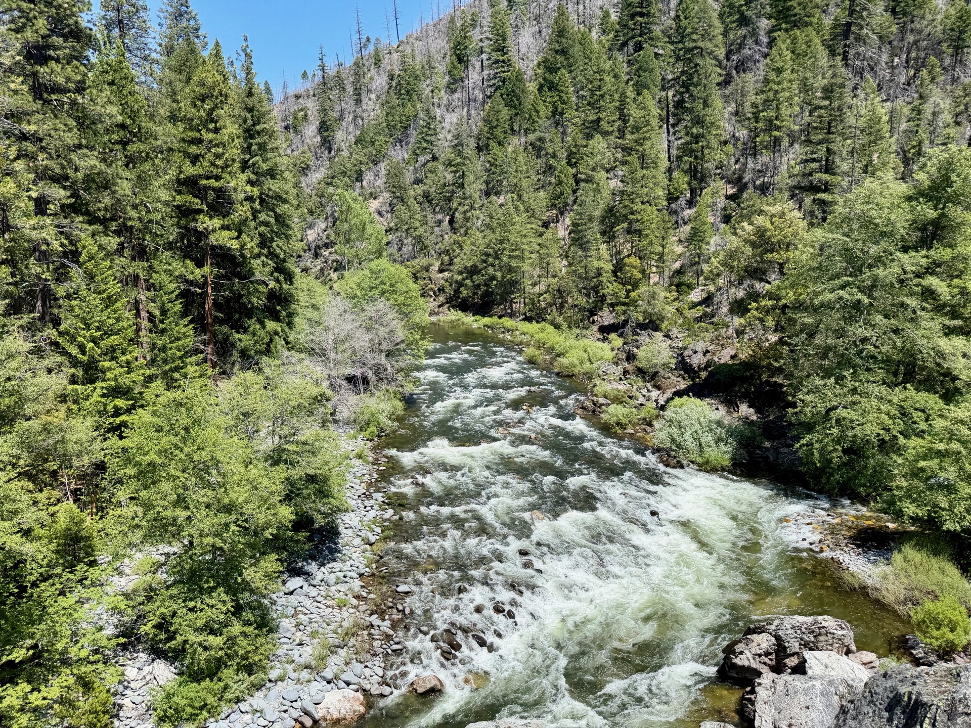
Bear Creek arrives as relief. A bridge I couldn't find on satellite — hidden under the canopy — spans the rushing water. I stop in the shade, let the cool air off the creek do its work. I see someone approaching — an early-season PCT hiker, moving fast and light. We trade beta. She's just come through three miles with 267 counted blowdowns. I warn her about what's ahead. Looking back, I know she had worse coming than anything she'd already walked through.
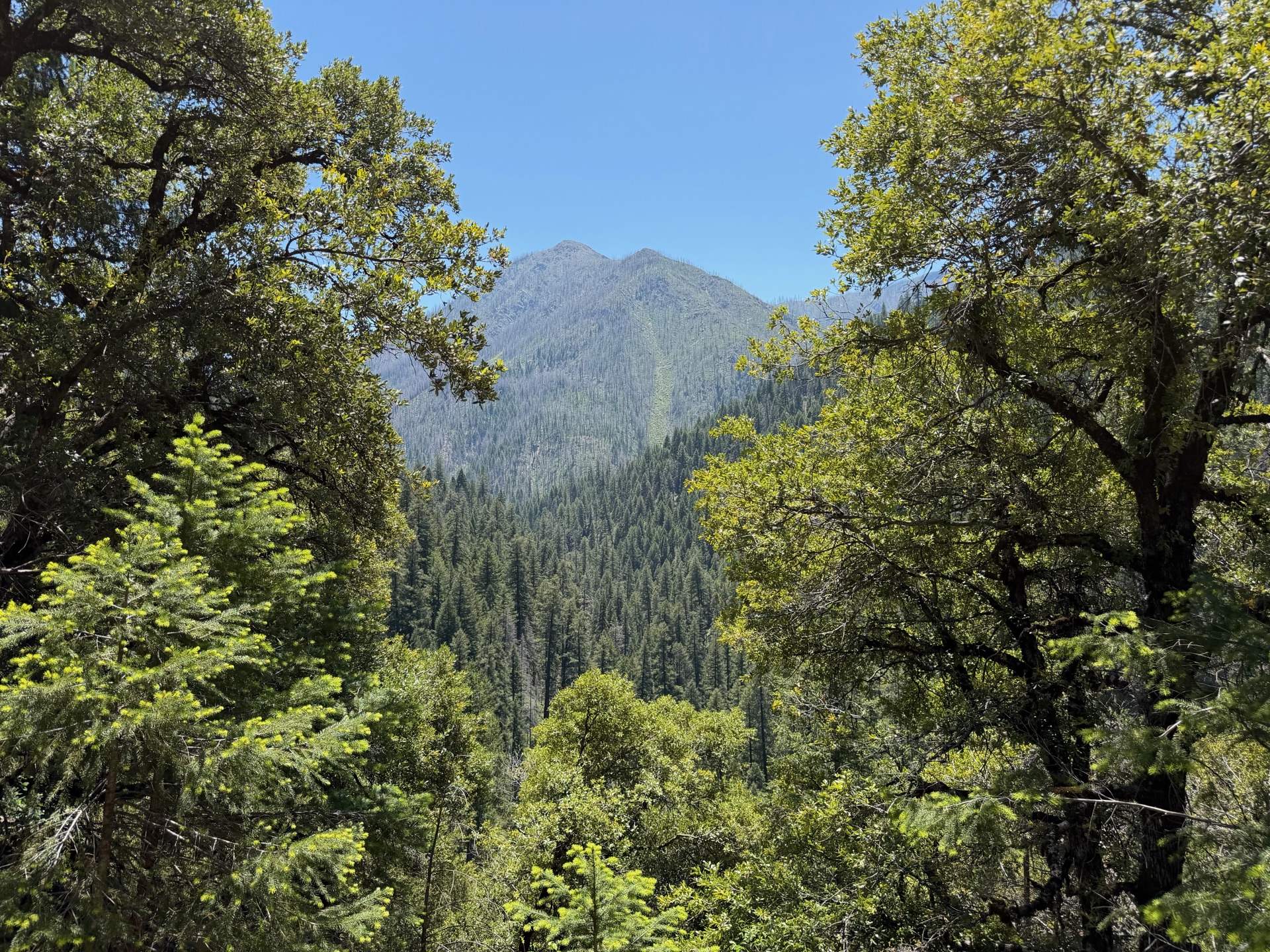
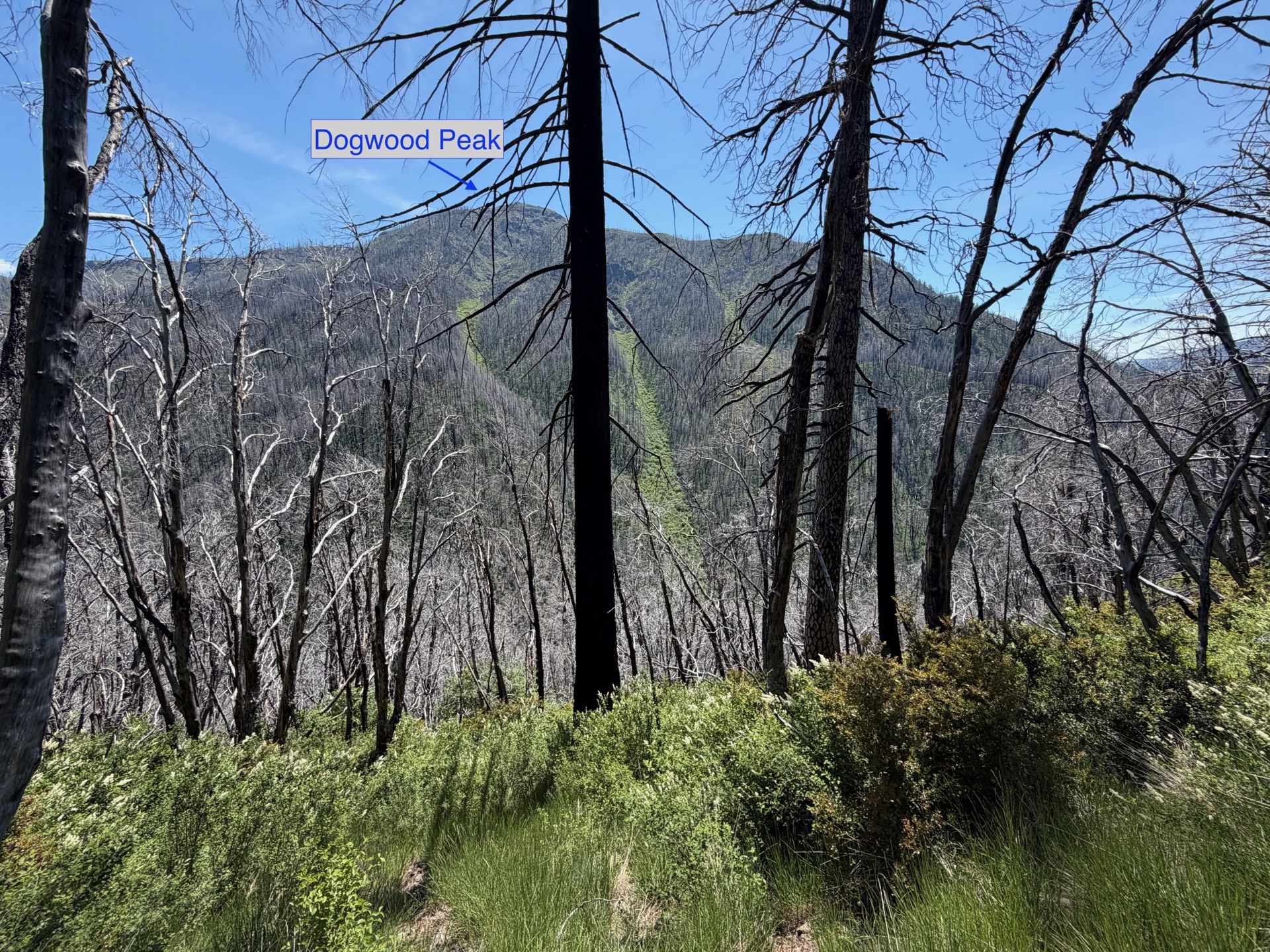
Dogwood Peak visible through the canopy as the trail follows the canyon rim.
When the trail is clear, it earns every mile — lush, green, and fast.
Bear Creek Canyon from the rim trail.
Bear Creek — I'd been dreading this crossing. A bridge appeared where the satellite map showed nothing.
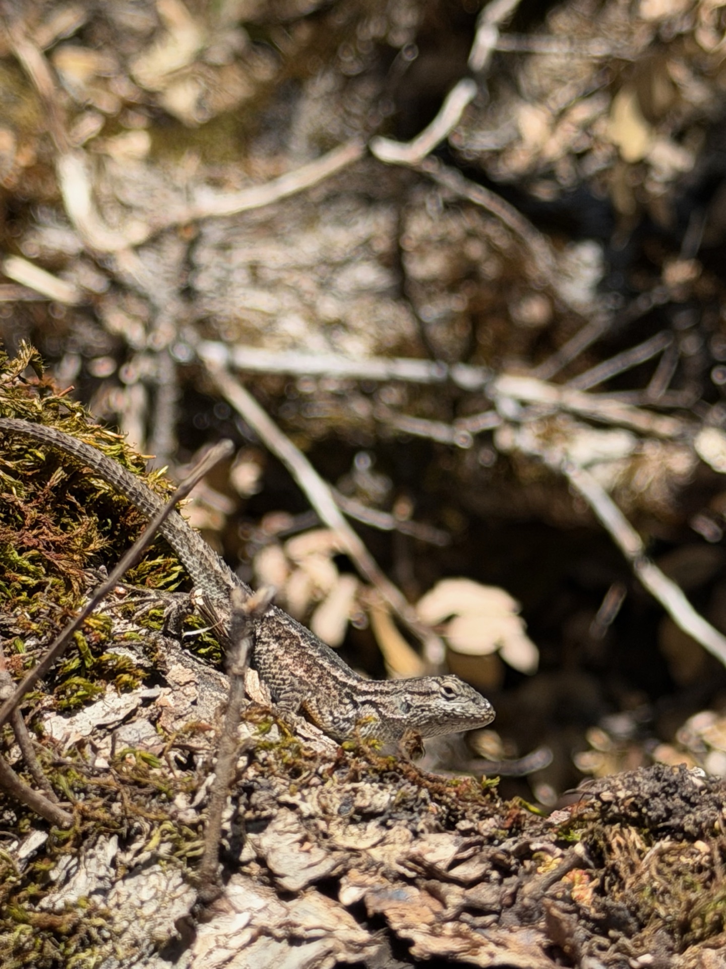
Western fence lizard on a fallen log, Bear Creek Canyon.

Remote, rarely visited, likely one of the most spectacular crossings on this entire traverse. Worth every blown-out mile to reach it.

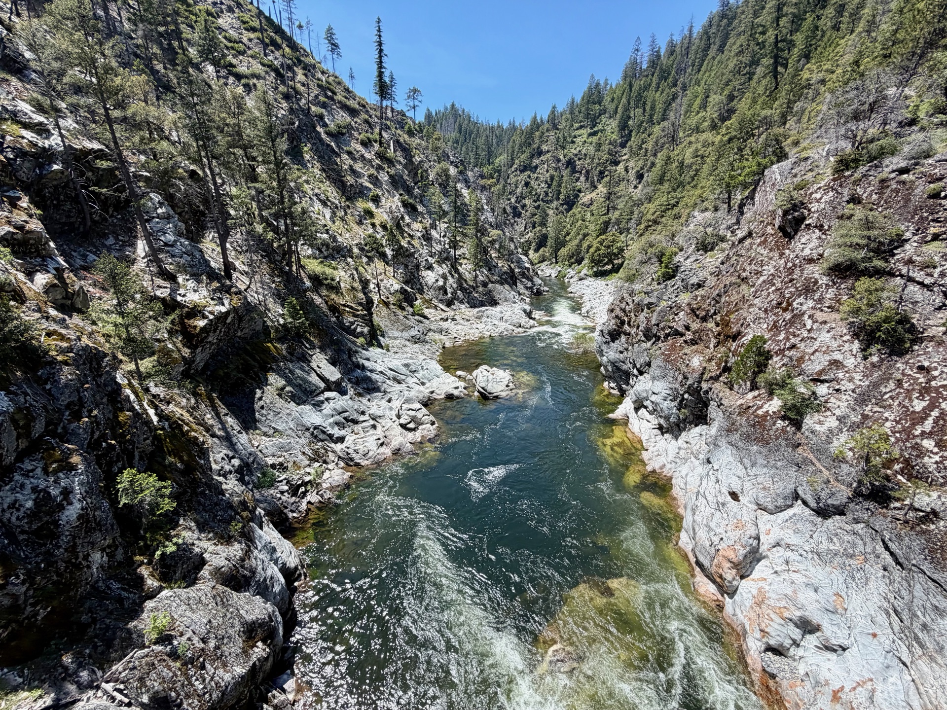
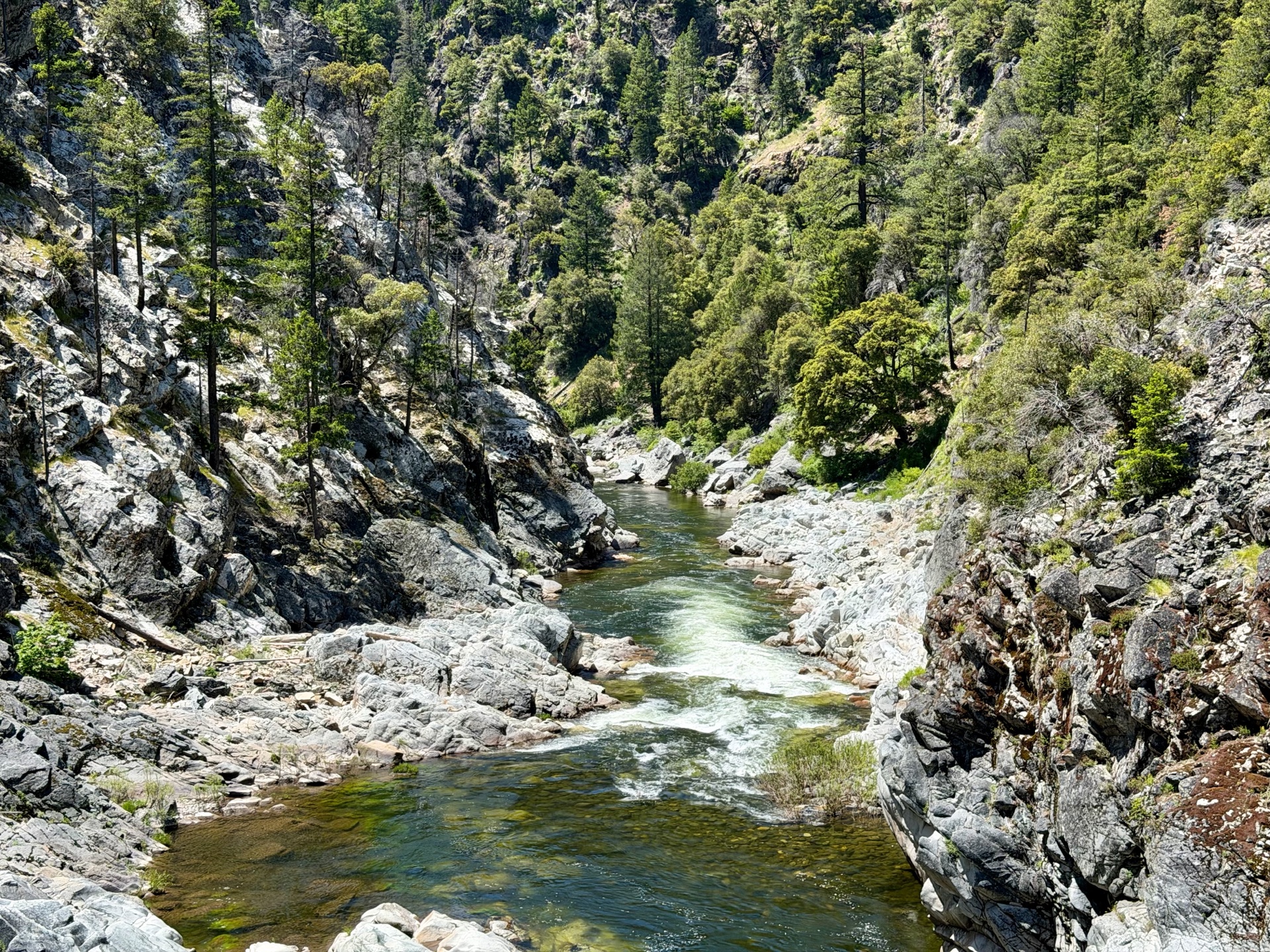
Then the Middle Fork Feather River bridge — massive, arched steel over a rocky canyon, the river white and fast below. Remote, rarely visited, likely one of the most spectacular crossings on this entire traverse. Worth every blown-out mile to reach it. I cross the bridge maybe ten times, just for the fun of it. The reprieve is brief. The climb toward Little Grass Valley Lake is overgrown and scorched, burned snags across the trail at intervals. Somewhere in there I made contact with poison oak. A week later: a scratchy, weeping mess.
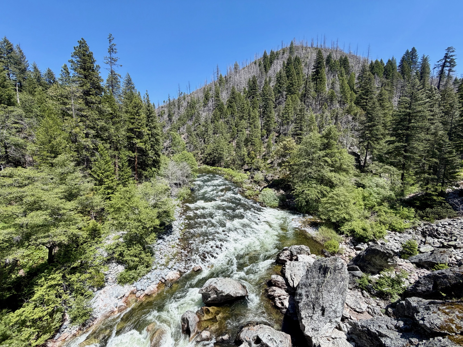
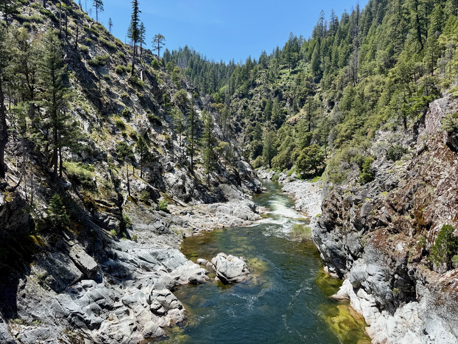
Middle Fork Feather River, hemmed inside its canyon.
One of the most remote river crossings on the PCT — twenty miles of trail in any direction.
The Middle Fork runs fast and cold through its granite canyon.
River detail, Middle Fork Feather River.
Fast water through the canyon narrows.

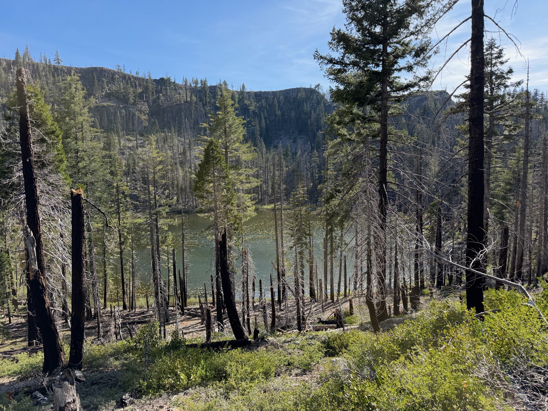
Fowler Lake appears — shallow, ringed by dead trees, quietly pretty — and then disappears behind me.

This trail, maintained, would be a legitimate wilderness odyssey: forested canyons, fast rivers, long views. As it exists now, it's a grind without reprieve. The bridge earns it. Nothing else does.
Back into the burn — miles of it.
Fowler Lake, just off trail — shallow, ringed by standing dead, quietly pretty.
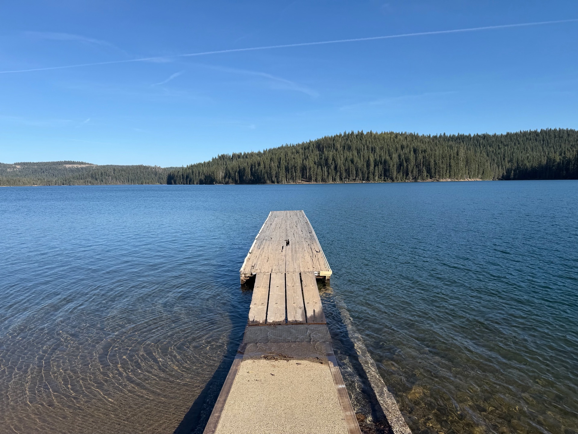
Little Grass Valley Reservoir from the road. I'd planned to run here — the trail made that decision for me.
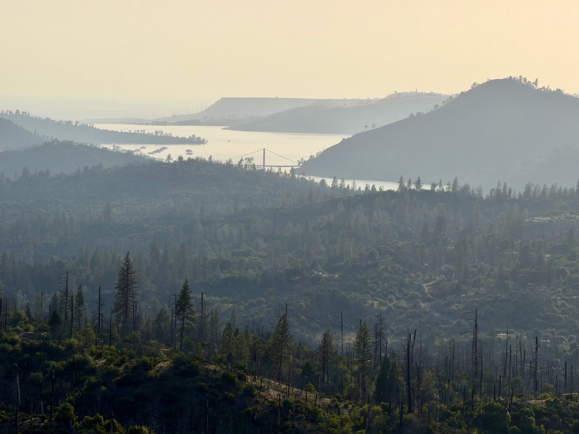
Lake Oroville on the drive home — where the wild river that defined today gets dammed.