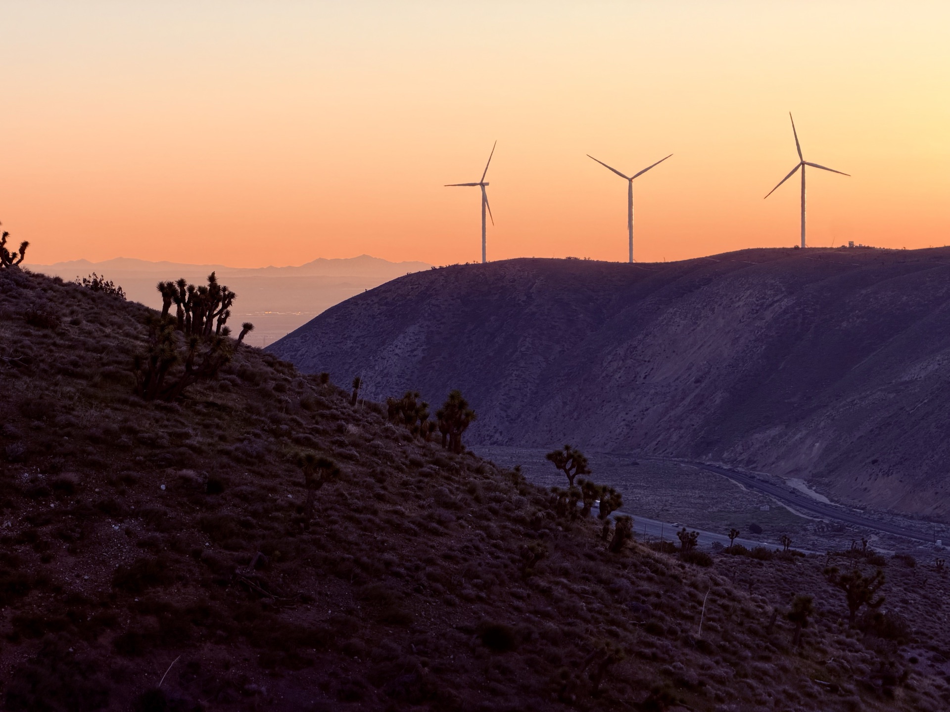
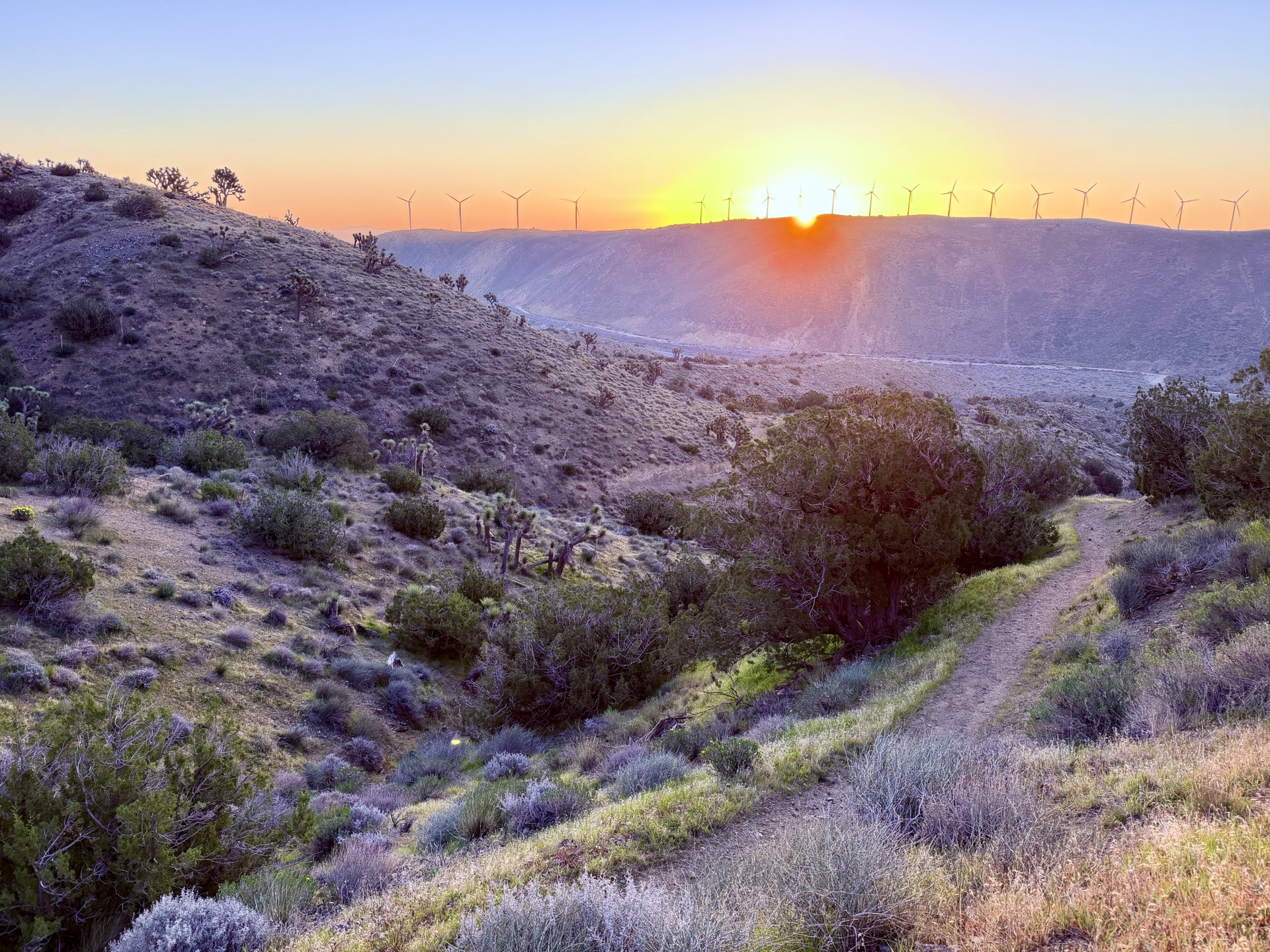
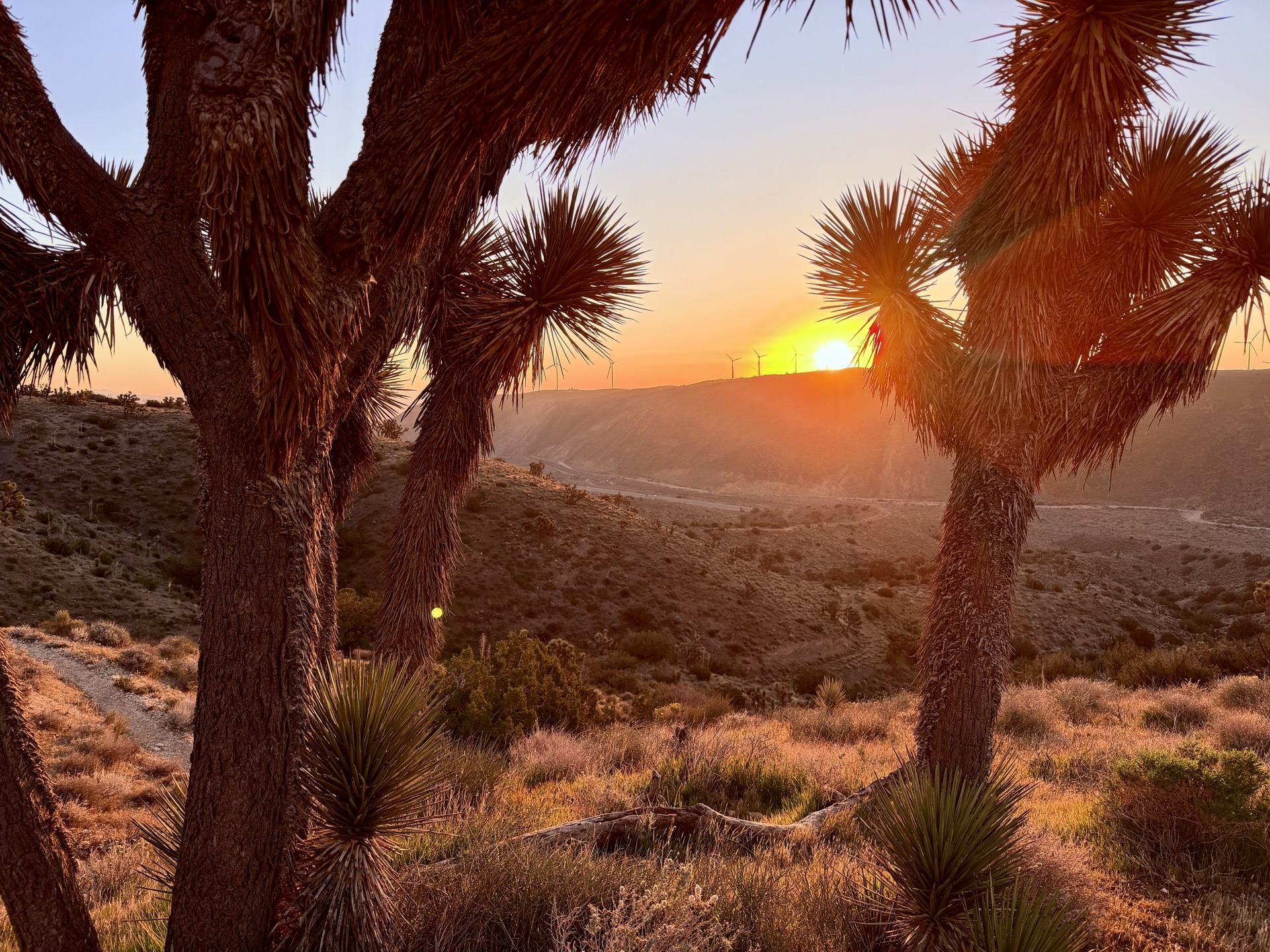
The rays of sun slowly fill the desert valley to my right, and color the peaks to my left. I'm watching the sunrise illuminate the southernmost peaks of the Sierra Nevada, near Tehachapi. Cold wind is blowing through the pass, Joshua trees dot the landscape, and wind turbines whir all around me.
The Sierra Nevada starts humble — lines of brown peaks that look more like eroding soil than the granite rock that defines the range. I start my ascent from the 3,800-foot elevation line, heading up towards peak 5,581. I've set Tehachapi as the starting point for Sierra Odyssey — my traverse of the Sierra Nevada range, which roughly runs from Tehachapi (transition zone to the Mojave Desert) to the border of Lassen National Park (transition zone to the Cascades).
The rays of sun slowly fill the desert valley to my right, and color the peaks to my left. I'm watching the sunrise illuminate the southernmost peaks of the Sierra Nevada, near Tehachapi.
For the last two months I have been mapping a network of trails that will combine into an epic traverse of the Sierra Nevada. It doesn't follow a single line — instead it meanders into every exciting nook and cranny. I pored through maps and books to assemble this collection of trails. Now, at the southern end of the Sierra, the execution begins. I wonder what the year will bring. I am both extremely excited and aware that just one twisted ankle could end the traverse.
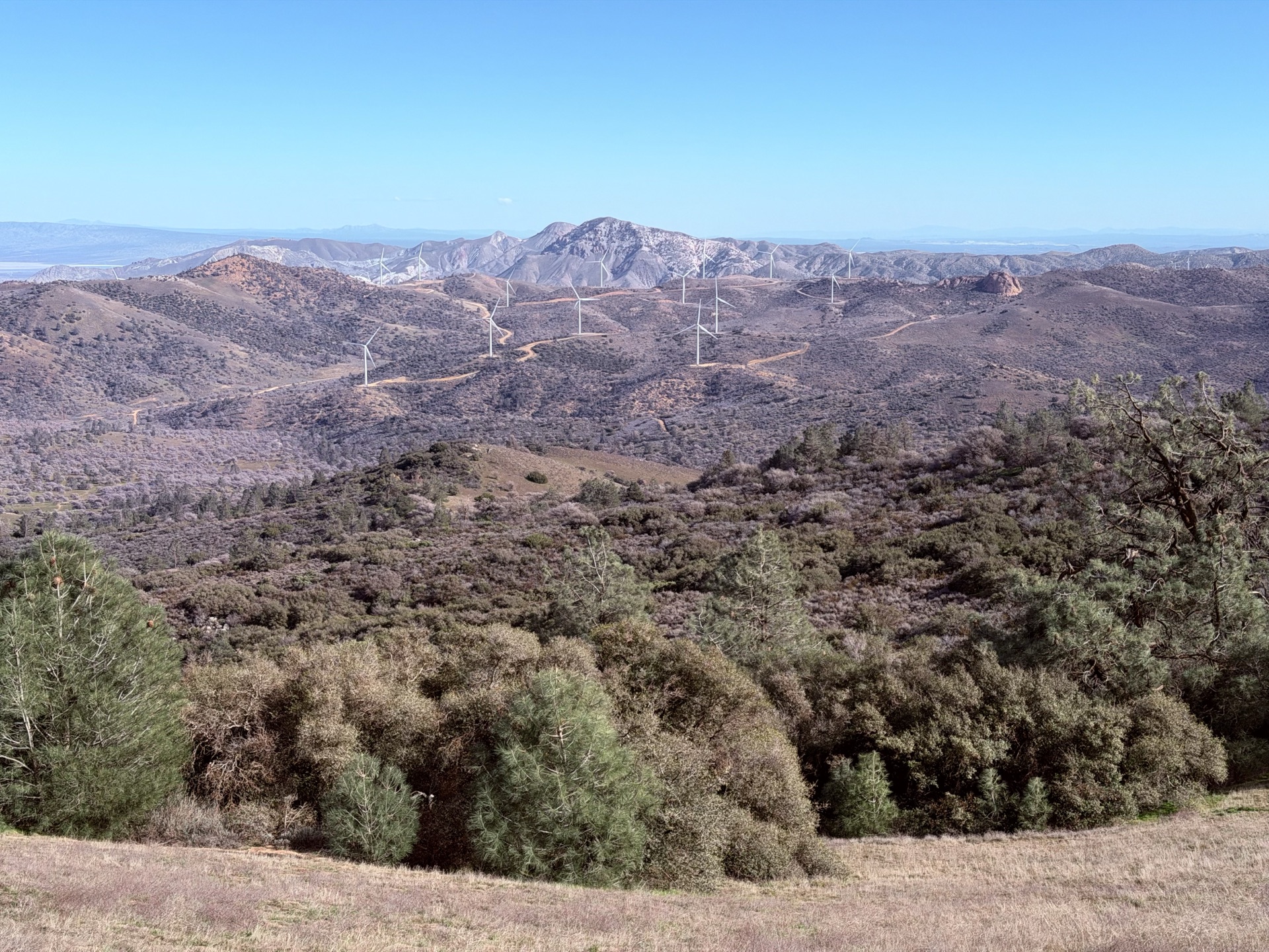
Today I am running the Piute Mountains subrange of the Sierra Nevada. Much of the Sierra Nevada is frozen magma — a vast granitic batholith that crystallized underground about 100 million years ago, then was slowly exposed by uplift and erosion. The Piutes sit in a transition zone where fragments of older volcanic and sedimentary rocks were preserved alongside the granite, creating a more geologically complex landscape.
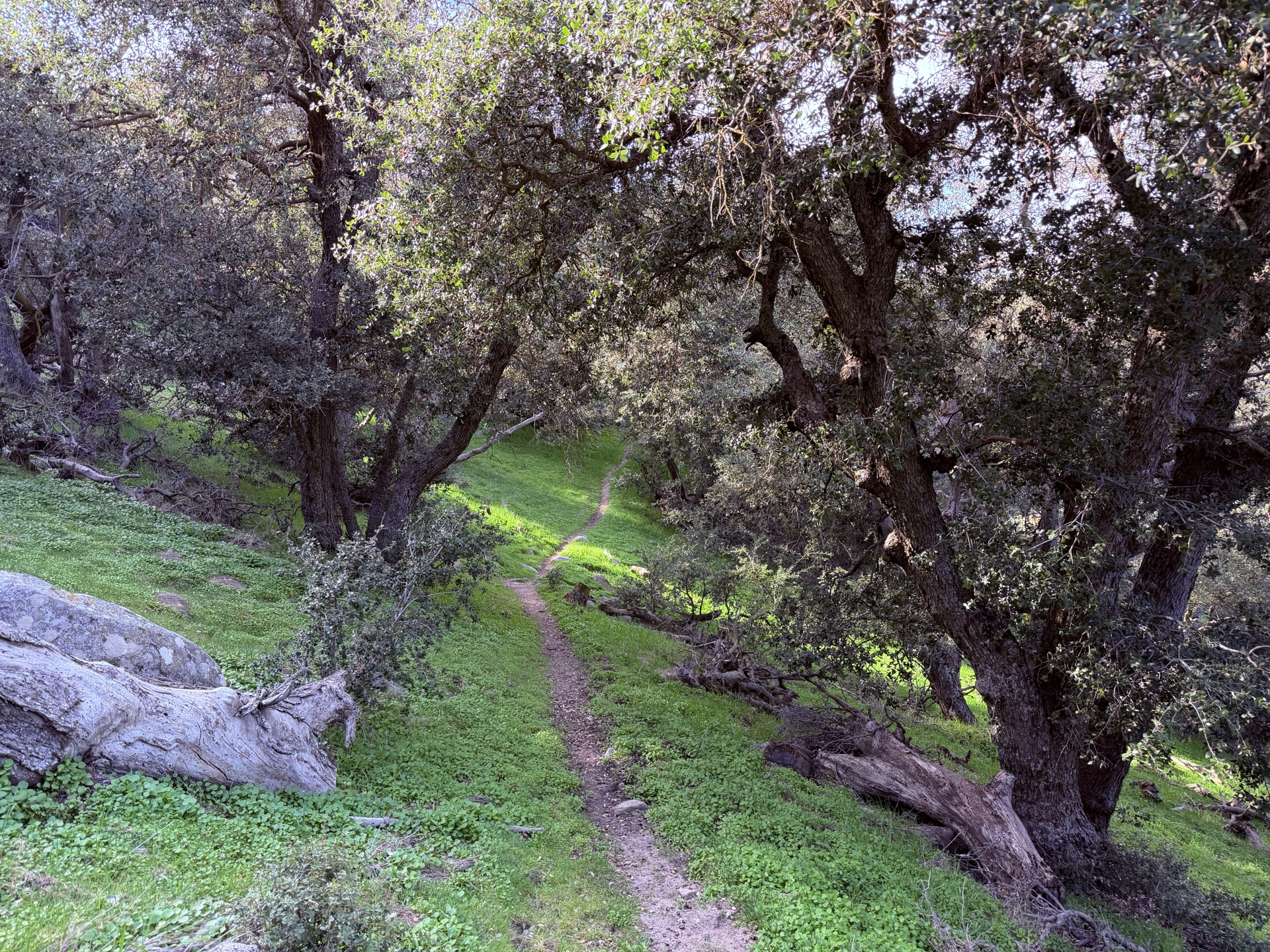
The trail is in perfect condition — I anticipated this in the southern part of the PCT, as the ground here is not rocky and the running is perfect. The Sierra's granitic rock weathers into that characteristic coarse sandy soil, responsible for the soft and nicely runnable trails. Having run every trail in Yosemite last year, I'm packed for a typical Sierra day — good food (croissants), two soft flasks of water, a rain jacket, a medical emergency kit, toilet paper — and I have no idea I'm underprepared. It's dry terrain, and I quickly realize I did not pack enough water. The blue lines on the map are seasonal creeks only.
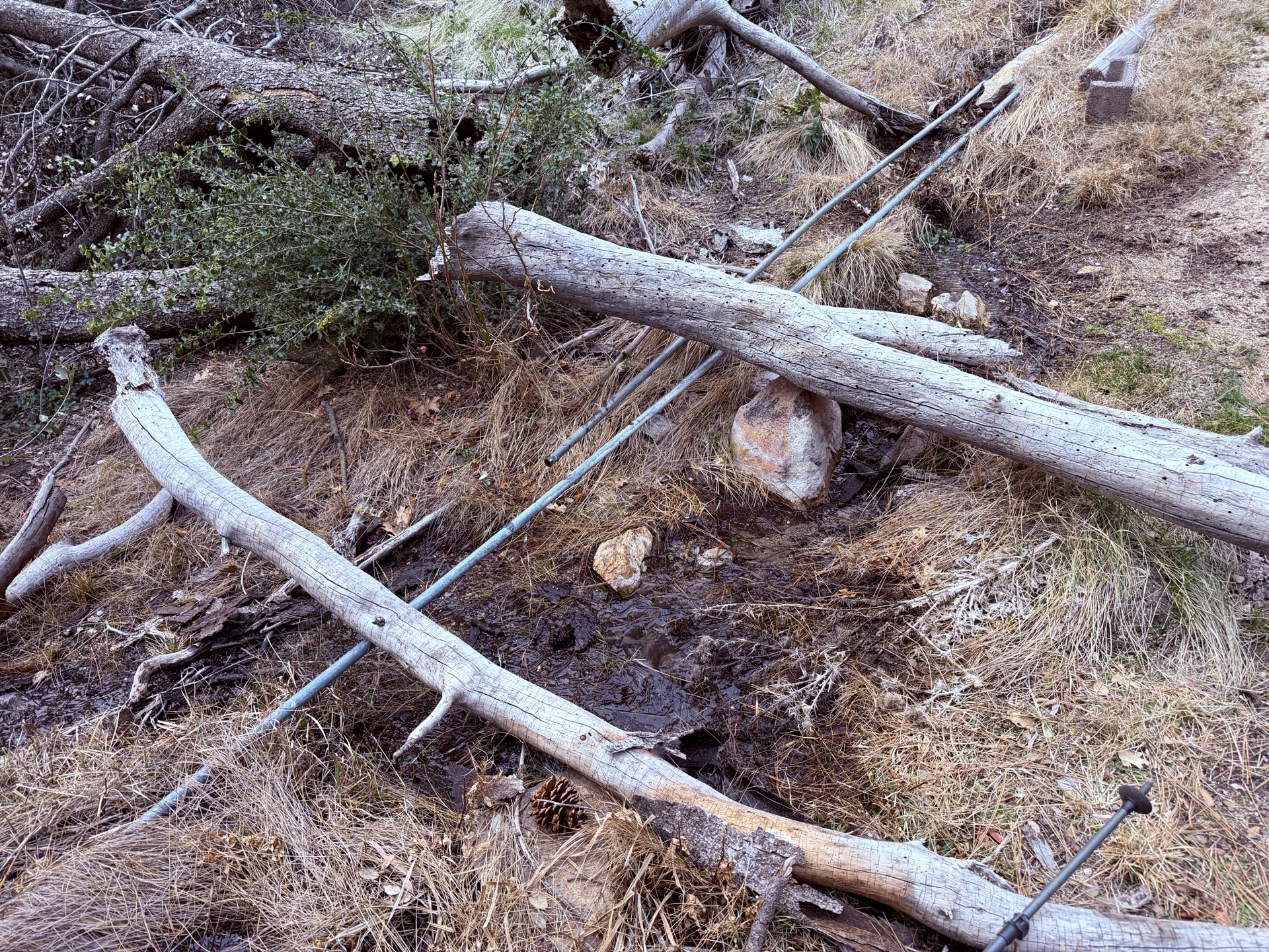
I find a dirty concrete trough filled with water — and I don't realize it will be my last chance to refill for many miles. Indeed, the next 15 miles become defined by growing thirst, with me rationing water to a sip per mile.
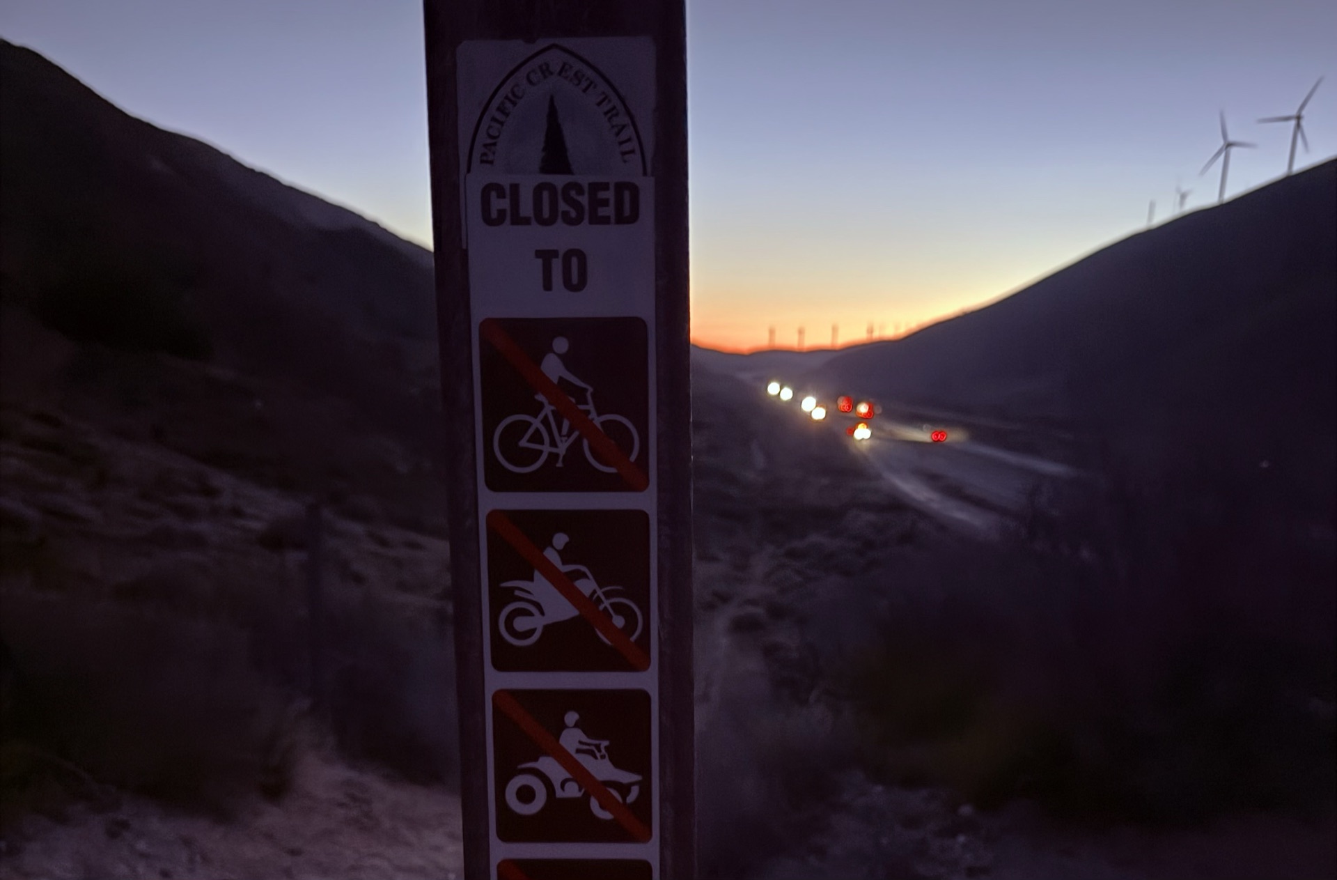
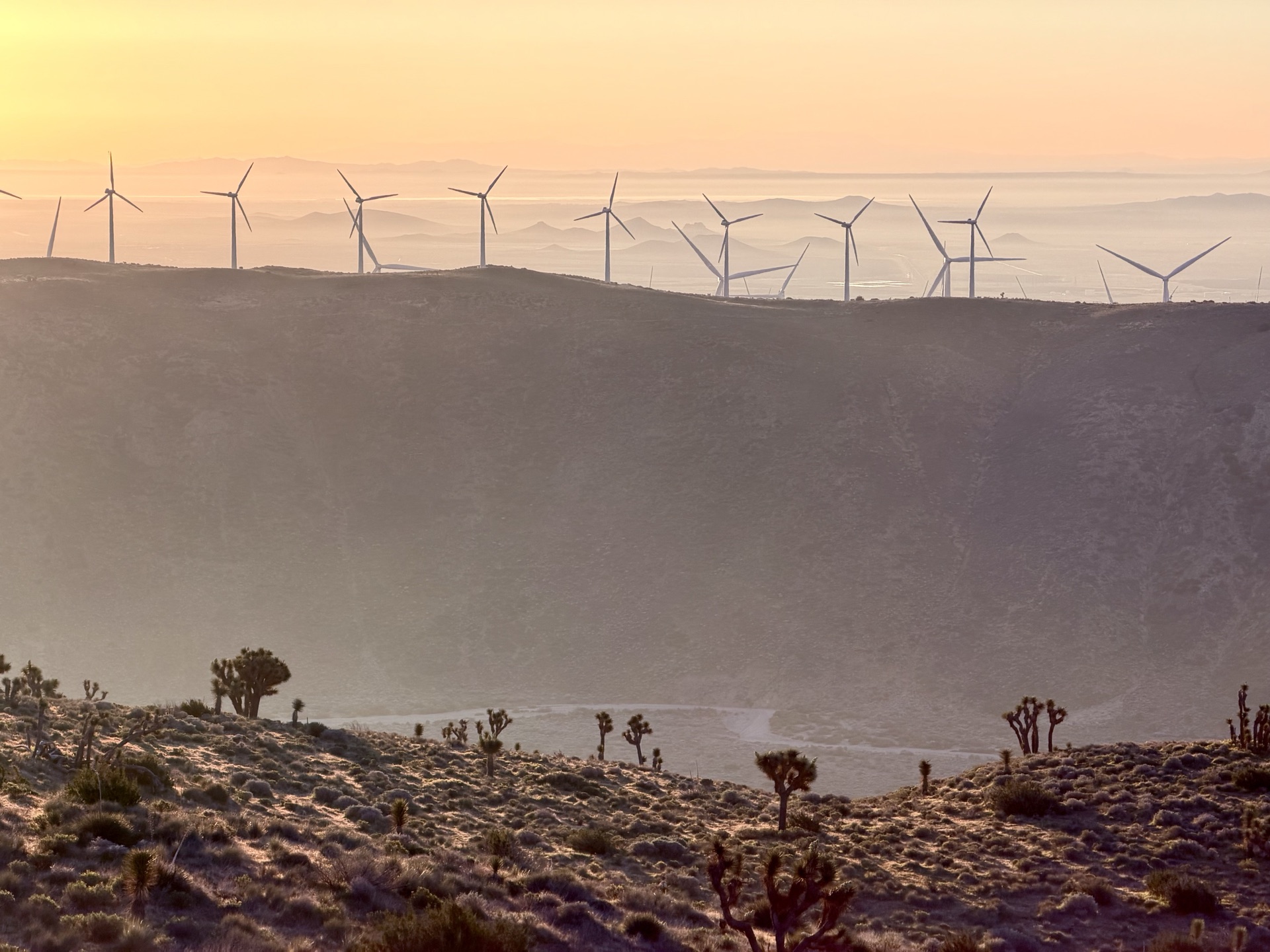
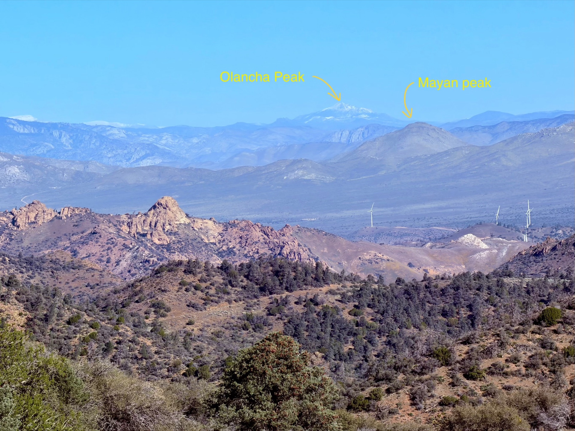
The trail follows ridgelines, with wind turbines turning nearby. As I start up the Sweet Ridge, the first view of distant Sierra peaks appears — snowy Olancha Peak. It's roughly 80–90 miles north, but clearly visible. Mayan Peak glows red closer by — I will pass it tomorrow.

Finally I meet a hiker who offers me water and tells me there's a spring 3 miles ahead. My misery is nearly over. A slow trickle of water dribbles down a slope at Indian Spring — I drink plenty and refill my bottles. It's a refill spot for PCT hikers, and I hope it survives the hot spring season.
As I run, conifer forests begin appearing, signaling the transition to higher elevations. The trail becomes harder to run as fallen trees obstruct the path, slowing me down for a few miles. But overall the trail flows easily, and I run towards the rendezvous for my pickup. I continue along Weldon Ridge, then follow Landers Creek (dry) and end up near Piute Mountain Road — where we will spend the night before continuing tomorrow. It's been a long but beautiful day out.